Brass tide times
Brass tide forecast — heights relative to MSL.
Today's tide times for Brass
Tide times at Brass on Saturday, 4 July 2026: first low tide at 01:00am, first high tide at 07:00am, second low tide at 12:41pm, second high tide at 06:34pm. Sunrise 06:28am, sunset 06:50pm.
Tide chart for Brass
24-hour cosine-interpolated curve around the present moment. Heights relative to MSL. Predictions: Predictions: Open-Meteo Marine (MeteoFrance SMOC, 0.08° grid).
Sun, moon and conditions on Sat 04 Jul
Snapshot at build time — refreshes daily. Sea state from Open-Meteo Marine.
Highs and lows next 7 days
Every predicted high and low for the next week, with the daily tidal coefficient (0–120; higher = bigger swing, > 95 means stronger currents).
Other spots nearby
The three closest curated TideTurtle locations to Brass, measured by great-circle distance.

Today's solunar windows
Solunar tradition: major periods are the ≈3h windows around moon transit and opposition; minor are ≈2h around moonrise and moonset. Pair with the local tide stage and wind for the best read.
Cycle dates near Brass
Last spring tide on Sat 04 Jul (range 1.4m). Next spring tide on Fri 10 Jul (range 1.2m). Next neap on Wed 08 Jul.
Spring tides cluster around new and full moons (biggest swings). Neap tides land on quarter moons (smallest swings). See the spring tide and neap tide glossary entries for the why.
About tides at Brass
A short guide to the coastline at Brass — geography, sea state, and what the tide is actually doing under your feet.
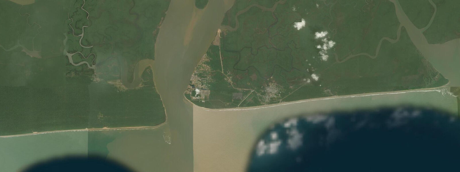
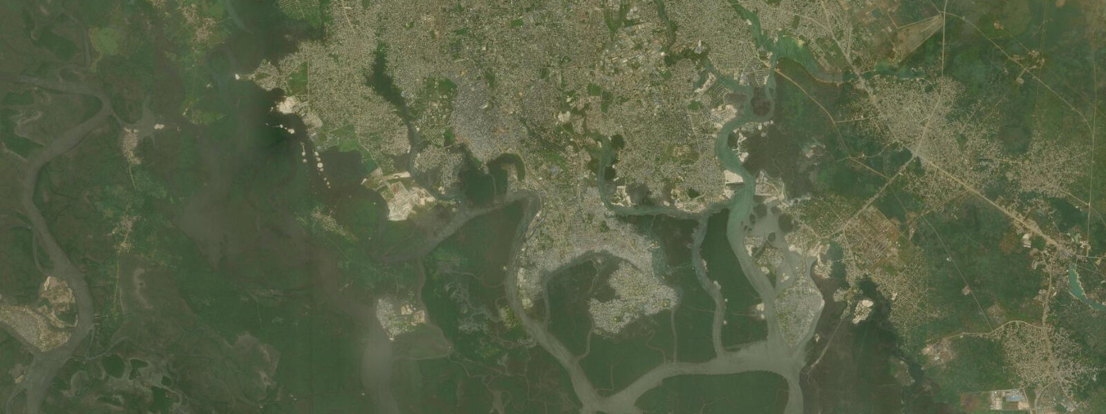
Brass is a coastal town at the western mouth of the Niger Delta, on the Brass River estuary where one of the Niger's major distributaries meets the Atlantic. It is the administrative headquarters of Brass Local Government Area in Bayelsa State and one of the oldest recorded trading settlements in the Niger Delta, with a documented history of contact with European traders from the late 15th century onward.
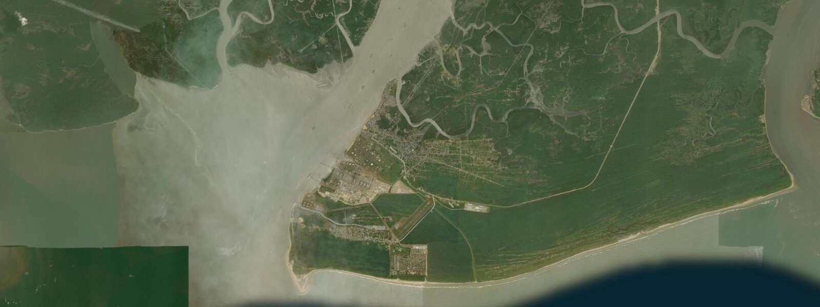
The setting is estuarine delta in its most complete form: Brass sits on a tidal island formed by the Brass River to the east and a series of tidal creeks to the west. At high tide, the town is effectively surrounded by water; at low tide, mud flats extend around the island perimeter. The water is brown-black with the tannin load from the vast Niger Delta mangrove system upstream. The Atlantic approaches to Brass are shallow and shifting — the bar at the Brass River mouth requires careful navigation.
Tide predictions for Brass use Open-Meteo Marine's global model. Timing accuracy ±45 minutes, height accuracy ±0.2 to 0.3 metres. The Niger Delta coast has semidiurnal tides with spring range of approximately 1.0 to 1.5 metres. The actual water level at Brass is also strongly influenced by the Niger River discharge: in the flood season (July to September), high freshwater outflow from the delta pushes water levels in the estuary significantly above the tidal prediction. At peak flood, the entire delta network operates at elevated baseline, and the tidal oscillation rides on a raised platform.
For the Ijaw fishing communities that have inhabited Brass for centuries, the combination of tidal estuary, deep-water river mouth, and offshore Atlantic bank creates a multi-zone fishery. Bonga shad — the most important artisanal fish by volume in the Niger Delta — is caught by seine net in the estuary channels on the ebb tide. Larger grouper and snapper are taken on handlines at the river mouth bar, where the outgoing tidal current concentrates fish. Offshore trolling from the Brass bar produces kingfish and barracuda.
The Brass area has petroleum industry infrastructure: the Agip (Eni) oil terminal at Brass is the export point for oil from the western Niger Delta's ENI-operated fields. The terminal is located several kilometres south of the town on a dedicated jetty. The industry presence defines the economic background of modern Brass but the artisanal fishing community predates the oil era by several centuries.
Historically, Brass was a significant 19th-century trading state — the Nembe Kingdom — with direct trade relations with British merchants. A notable historical incident is the Akassa Raid of 1895, when Nembe warriors attacked the Royal Niger Company's trading depot at Akassa in response to a trade embargo; the confrontation illustrated the economic tensions between traditional trading communities and colonial monopoly companies. The story is documented in the local museum.
Access to Brass is by speedboat from Yenagoa (Bayelsa State capital, 2 to 3 hours) or by road-and-boat combinations. There is no direct road to Brass from the mainland; water transport is the defining mode of access.
The waterfront of Brass town faces the estuarine channel directly, with the town's jetty and beach strip extending along the riverfront. On any given morning, the bonga fleet's return provides the same visual sequence that has defined this waterfront for generations: the narrow wooden canoes, the nets stacked in the bow, the catch sorted by the landing crew. The bonga itself — Ethmalosa fimbriata, also called bonga shad — is one of the most important fish in West African food security terms. Its high oil content makes it ideal for smoking, and smoked bonga travels throughout the region as an affordable protein source.
The creeks and waterways around Brass are navigable by small motor canoe through the mangrove system for 30 to 40 kilometres in multiple directions. The labyrinthine character of the Niger Delta — hundreds of channels, most unmarked, with tidal currents that change direction every 6 hours — makes local knowledge essential. Travelling into the creeks without a local guide familiar with the specific tidal channels and current patterns is a genuine navigation risk. Distances that appear short on a map can require hours of travel through convoluted creek routes.
Bayelsa State, of which Brass is a coastal community, has the highest concentration of oil production infrastructure in Nigeria relative to its area. The environmental damage from decades of oil spills in the Niger Delta — documented by multiple UN and NGO reports — affects water quality and fishery health across the delta, including in the Brass River system. The fishing community's awareness of and response to this environmental context is an important part of understanding the contemporary economy and culture of Brass.
Tide questions about Brass
Quick answers to the most common questions about tide times, range, and water access at Brass.
What is the tidal range at Brass?
Brass is at the western Niger Delta mouth on the Brass River estuary. Semidiurnal tides with spring range approximately 1.0 to 1.5 metres. Tide predictions use Open-Meteo Marine's global model, with ±45 minutes timing accuracy and ±0.2 to 0.3 metres height accuracy. Actual water levels in the estuary are significantly modified by Niger River discharge: during the July to September flood season, elevated freshwater outflow raises the tidal baseline by 0.5 metres or more. The bar at the Brass River mouth shifts with each flood season and requires local navigation knowledge.
How do I get to Brass?
Brass is accessible only by water — there is no direct road link to the mainland. The main access is by speedboat from Yenagoa, the Bayelsa State capital, a journey of 2 to 3 hours on the river and creek network. Speedboat services run from the main Yenagoa waterfront; confirm departure times and safety standards with local operators. Some visitors approach via Port Harcourt (Rivers State), taking a road connection to a creek-side landing and speedboat from there — the total journey is longer but may be more convenient depending on starting point. Boat services are weather-dependent; the sea bar at Brass mouth can be impassable in heavy swell.
What is the historical significance of Brass?
Brass (Twon-Brass) was the capital of the Nembe Kingdom, one of the major Ijaw trading states in the western Niger Delta. The Nembe people controlled trade along the Brass River, acting as middlemen between inland markets and European traders from the 15th century onward. The town is the site of the Akassa Raid of 1895, when Nembe warriors attacked the Royal Niger Company depot in response to a blockade of their traditional trade routes. The raid triggered British punitive action but highlighted the economic conflict between African trading states and colonial monopolies. The Nembe kingdom's history is documented in the Brass Museum and through oral history maintained by the Ijaw community.
What is the fishing like at Brass?
The Brass River estuary is productive for artisanal fishing. Bonga shad is the main volume catch, taken by seine nets in the estuary channels on the ebb tide; the nightly and early-morning bonga fleet is a defining feature of the Brass waterfront. Grouper, snapper, and barracuda are caught by handline at the river mouth bar, where the tidal current concentrates fish. The offshore zone — beyond the Brass bar — supports a more pelagic fishery including kingfish (Indo-Pacific king mackerel), yellowfin tuna, and jack species. Artisanal fishermen using wooden canoes and motor pirogues work the entire range from the creek system to the offshore banks.
Is the Agip terminal at Brass open to visitors?
The ENI (formerly Agip) oil terminal at Brass is a restricted industrial facility and is not open to public visitors. It is the export point for crude oil from ENI's western Niger Delta production fields. The terminal infrastructure — loading buoys, storage tanks, jetty — is visible from the water approach to Brass. ENI has operated in the area since the 1960s. The company maintains a community liaison presence in Brass town, and there are community development programs associated with the terminal operation, but terminal access itself requires specific business or operational clearance.
8-day tide table — Brass
Heights relative to MSL. Predictions: Open-Meteo Marine (MeteoFrance SMOC, 0.08° grid) — heights relative to MSL (not chart datum / LAT). Model-derived.
| Day | Type | Time | Height |
|---|---|---|---|
| Sat 04 Jul | Low | 01:00 | -0.8m |
| High | 07:00 | 0.6m | |
| Low | 12:41 | -0.4m | |
| High | 18:34 | 0.6m | |
| Sun 05 Jul | Low | 01:01 | -0.7m |
| High | 07:39 | 0.6m | |
| Low | 13:26 | -0.4m | |
| High | 19:16 | 0.5m | |
| Mon 06 Jul | Low | 01:38 | -0.6m |
| High | 08:14 | 0.7m | |
| Low | 14:18 | -0.4m | |
| High | 20:10 | 0.5m | |
| Tue 07 Jul | Low | 02:20 | -0.5m |
| High | 09:02 | 0.7m | |
| Low | 15:19 | -0.3m | |
| High | 21:13 | 0.4m | |
| Wed 08 Jul | Low | 03:11 | -0.5m |
| High | 09:57 | 0.7m | |
| Low | 16:35 | -0.4m | |
| High | 22:23 | 0.3m | |
| Thu 09 Jul | Low | 04:18 | -0.4m |
| High | 10:57 | 0.7m | |
| Low | 17:40 | -0.4m | |
| High | 23:43 | 0.3m | |
| Fri 10 Jul | Low | 05:35 | -0.4m |
| High | 12:02 | 0.7m | |
| Low | 18:46 | -0.6m | |
| Sat 11 Jul | High | 00:00 | 0.3m |