Calabar tide times
Calabar tide forecast — heights relative to MSL.
Today's tide times for Calabar
Tide times at Calabar on Friday, 3 July 2026: first low tide at 01:00am, first high tide at 06:36am, second low tide at 12:38pm, second high tide at 05:35pm. Sunrise 06:18am, sunset 06:42pm.
Tide chart for Calabar
24-hour cosine-interpolated curve around the present moment. Heights relative to MSL. Predictions: Predictions: Open-Meteo Marine (MeteoFrance SMOC, 0.08° grid).
Sun, moon and conditions on Fri 03 Jul
Snapshot at build time — refreshes daily. Sea state from Open-Meteo Marine.
Highs and lows next 7 days
Every predicted high and low for the next week, with the daily tidal coefficient (0–120; higher = bigger swing, > 95 means stronger currents).
Other spots nearby
The three closest curated TideTurtle locations to Calabar, measured by great-circle distance.

Today's solunar windows
Solunar tradition: major periods are the ≈3h windows around moon transit and opposition; minor are ≈2h around moonrise and moonset. Pair with the local tide stage and wind for the best read.
Cycle dates near Calabar
Last spring tide on Fri 03 Jul (range 2.0m). Next neap on Tue 07 Jul.
Spring tides cluster around new and full moons (biggest swings). Neap tides land on quarter moons (smallest swings). See the spring tide and neap tide glossary entries for the why.
About tides at Calabar
A short guide to the coastline at Calabar — geography, sea state, and what the tide is actually doing under your feet.
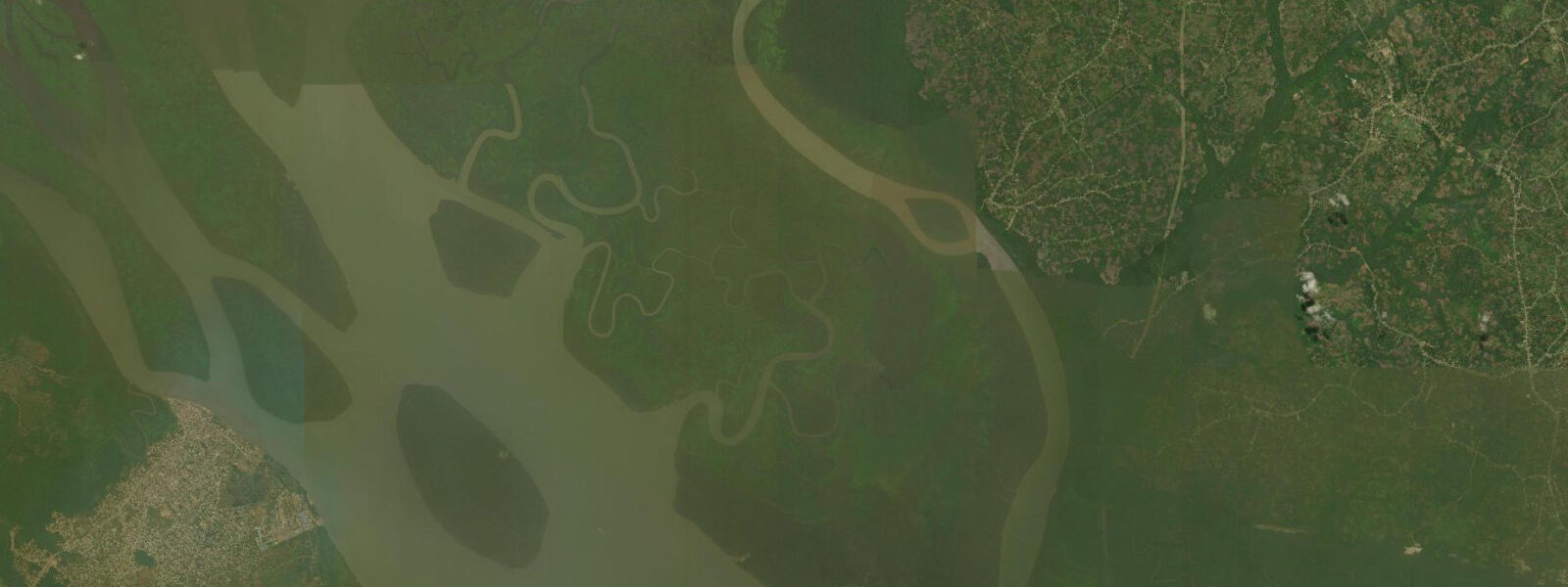
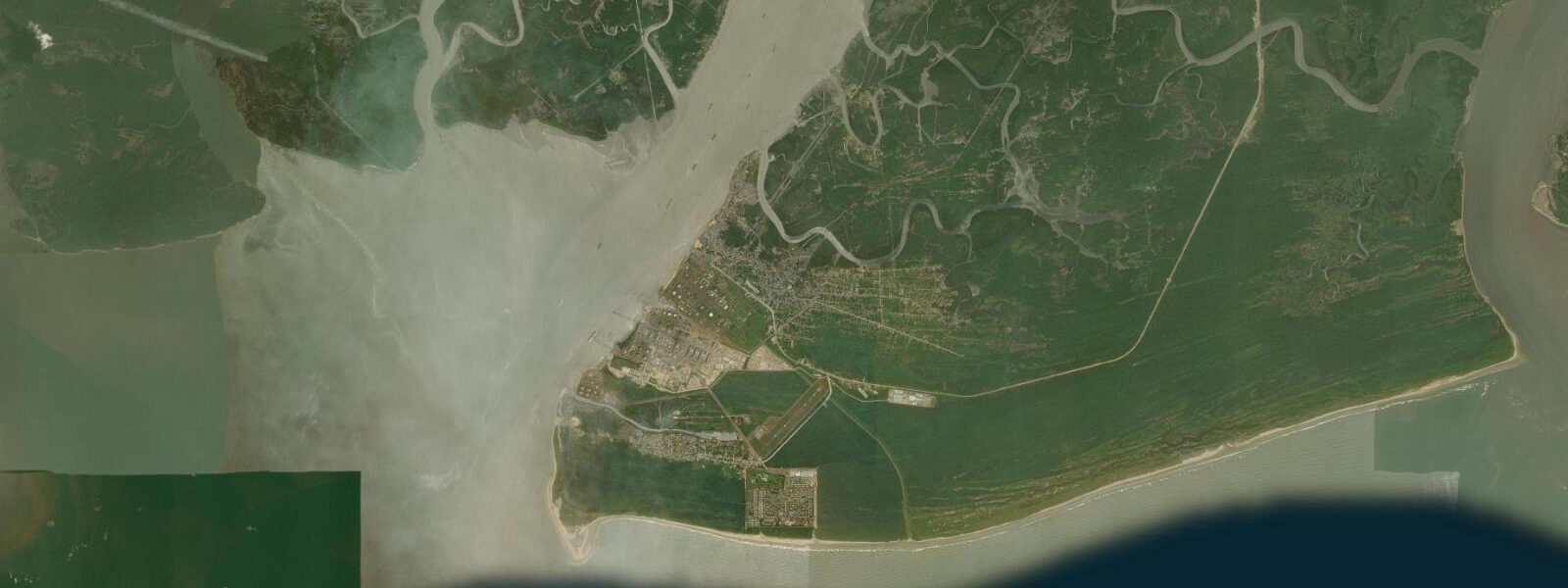
Calabar sits at the convergence of three river systems — the Great Kwa, the Calabar River, and the Cross River estuary — before they drain south through mangrove channels into the Gulf of Guinea near the Nigerian–Cameroonian maritime border. The city's character is inseparable from this estuarine geography: the waterfront is broad and tidal, the air carries the particular smell of a large tropical estuary (salt, vegetation, the low-tide exposure of mudflats), and the rhythm of the tide is woven into the daily life of the fishing communities on the creek margins in a way that Port Harcourt's industrialised waterfront has long since lost. Calabar was the most important British colonial port in what is now southeastern Nigeria — the original territorial capital before administration moved to Lagos in the 1900s, a major palm oil exporting hub through the 19th century, and before that one of the principal ports of the Atlantic slave trade under the Old Calabar Kingdom, whose ruling Efik merchants ran one of the most sophisticated commercial networks in pre-colonial West Africa.
The National Museum in the Duke Town district — named after the Duke trading house, one of the major Efik merchant families — traces this full arc from pre-contact trade networks to the slave trade to colonial administration to Nigerian independence, and does so at a standard of interpretation that is unusual for regional museums in West Africa. The Duke Town waterfront itself retains some of the old trading-house architecture. The tidal regime at Calabar is among the most significant on the Gulf of Guinea coast.
2 metres — substantially larger than most of the Nigerian coast. The tidal current at the Marina runs hard during the mid-ebb: canoe operators know to plan downstream trips on the ebb and upstream returns on the flood, and the timing is not casual. Low tide exposes extensive mudflats along the waterfront and in the creek tributaries, concentrating the wading bird community — grey sandpiper, common sandpiper, various egrets, and notably African skimmer in the dry season, which nests on the exposed gravel and sandbar patches and is one of the signature birds of the Cross River.
High tide floods the mangrove root systems and makes the full creek network navigable by canoe. 3 m accuracy — the astronomical tide prediction is adequate for planning, but river discharge from the Cross River catchment adds uncertainty in the rainy season, particularly in the upper creek sections. The Cercopan primate sanctuary 20 km from the city rehabilitates and researches red-capped mangabeys, putty-nosed monkeys, and the Preuss's red colobus — a Cross River endemic — in a 200-hectare managed forest reserve.
Guided walks and canopy platform access make it the most accessible primate wildlife experience in southern Nigeria by a considerable margin. Cross River National Park, 50 km north, holds the last population of Cross River gorillas — critically endangered, possibly fewer than 300 individuals in the wild, and extremely difficult to observe even on specialist tracking trips. The park's value for most visitors lies in the intact primary forest and the lowland bird species rather than gorilla sightings, which should be understood as a bonus rather than an expectation.
The Calabar Carnival in December is the city's most famous export — billed as Africa's largest street festival, drawing a claimed half million visitors and transforming the city for the last week of the year. Book accommodation months ahead if your travel coincides with it. The rainy season runs May through October; the comfortable dry-season window is November through February, with the Harmattan bringing drier but dustier air.
Water temperature in the estuary: warm year-round, 26–30°C.
Tide questions about Calabar
Quick answers to the most common questions about tide times, range, and water access at Calabar.
What makes Calabar different from other Nigerian coastal cities?
Calabar's distinctiveness comes from three things that don't overlap much elsewhere in Nigeria. First, the eco-tourism infrastructure is the most developed in the country — Cercopan primate sanctuary, Cross River National Park, and the Creek Town mangrove tours are all operating at a standard that can accommodate independent travellers. Second, the colonial and pre-colonial heritage layers are accessible and interpreted in the National Museum and the historic Duke Town waterfront. Third, the city has a physically different character: lower density, more vegetation, and the estuary backdrop give it a distinctly different feel from Lagos or Port Harcourt. It's not perfect — infrastructure has gaps and the riverfront has seen better maintenance — but for coastal eco-tourism in Nigeria, Calabar is the strongest option.
How do the Cross River tides affect waterfront activities in Calabar?
The Cross River estuary at Calabar has one of the largest tidal ranges in the Gulf of Guinea region — spring tides reach 1.5–2.2 metres, driven by the funnel geometry of the estuary channelling Atlantic tidal energy upstream. The tidal current runs hard at mid-ebb and mid-flood: canoe operators departing from the Marina should plan downstream trips on the ebb and upstream returns on the flood. Low tide exposes broad mudflats along the Calabar waterfront and in the lower creek tributaries — this is when the birdlife (herons, egrets, sandpipers, African skimmer) concentrates on the margins. High tide floods the mangrove roots and makes the creek channels accessible by canoe. For mangrove tours, the standard window is two hours before high water.
What wildlife can I see in and around Calabar?
The headline species are primates at Cercopan sanctuary — red-capped mangabeys and putty-nosed monkeys in forested enclosures, with guided access to the research forest. The Cross River gorilla is the iconic species of Cross River National Park to the north, but sightings are genuinely rare even on specialist tracking trips; the park's value for most visitors is the forest itself and the birds, including the endemic Cross River state species. On the waterfront, African skimmer is the signature bird — pairs nest on the sand and gravel bars in the dry season. Mangrove kingfisher, hamerkop, and various herons are regulars on the creek margins. Nile crocodiles persist in the quieter creek systems; confirmed sightings require a specialist guide.
What is the best time to visit Calabar?
November through February is the dry season — lower humidity, Harmattan wind drying the air, and the best conditions for waterfront and forest activities. This is also the period for the Calabar Carnival in December, which is spectacular but causes accommodation prices to spike and availability to collapse; book months ahead if coinciding with it. For wildlife, November–January is excellent: the dry season concentrates animals at water sources, African skimmer nests on the exposed sandbars, and forest birds are more visible with less dense understorey. The rainy season (May–October) makes the forest lush and the mangrove creeks fuller, but the humidity is intense and extended outdoor activity requires early starts to beat the heat.
How do I get to Calabar from Lagos or Abuja?
By air: multiple daily flights connect Lagos (Murtala Muhammed International) and Abuja (Nnamdi Azikiwe International) to Calabar Airport. Flight time from Lagos is around 55 minutes; from Abuja around 70 minutes. Air Peace, Dana Air, and Ibom Air among others serve the route; check current schedules as domestic airline operations in Nigeria are variable. By road: Calabar is roughly 630 km from Lagos and about 630 km from Abuja. The road journey takes 10–14 hours depending on traffic and road conditions — practical for travellers passing through the southeast, but not recommended as a primary route given flight availability and cost. From Port Harcourt, Calabar is approximately 200 km by road (3–4 hours), making a combined Port Harcourt–Calabar delta itinerary viable over 5–7 days.
8-day tide table — Calabar
Heights relative to MSL. Predictions: Open-Meteo Marine (MeteoFrance SMOC, 0.08° grid) — heights relative to MSL (not chart datum / LAT). Model-derived.
| Day | Type | Time | Height |
|---|---|---|---|
| Fri 03 Jul | Low | 01:00 | -1.1m |
| High | 06:36 | 0.7m | |
| Low | 12:38 | -0.8m | |
| High | 17:35 | 0.9m | |
| Sat 04 Jul | Low | 01:00 | -1.1m |
| High | 07:03 | 0.8m | |
| Low | 13:17 | -0.7m | |
| High | 18:18 | 0.8m | |
| Sun 05 Jul | Low | 01:37 | -1.1m |
| High | 07:50 | 0.8m | |
| Mon 06 Jul | Low | 02:14 | -0.8m |
| High | 08:45 | 0.9m | |
| Low | 14:43 | -0.5m | |
| High | 20:47 | 0.7m | |
| Tue 07 Jul | Low | 02:56 | -0.7m |
| High | 21:45 | 0.7m | |
| Wed 08 Jul | Low | 03:53 | -0.6m |
| High | 10:16 | 1.0m | |
| Low | 17:01 | -0.5m | |
| High | 22:35 | 0.6m | |
| Thu 09 Jul | Low | 05:11 | -0.5m |
| High | 11:05 | 0.9m | |
| Low | 18:08 | -0.6m | |
| Fri 10 Jul | High | 00:00 | 0.6m |