Raglan tide times
Raglan tide forecast — heights relative to MSL.
Tide chart for Raglan
24-hour cosine-interpolated curve around the present moment. Heights relative to MSL. Predictions: Predictions: Open-Meteo Marine (MeteoFrance SMOC, 0.08° grid).
Sun, moon and conditions on Sun 21 Jun
Snapshot at build time — refreshes daily. Sea state from Open-Meteo Marine.
Highs and lows next 7 days
Every predicted high and low for the next week, with the daily tidal coefficient (0–120; higher = bigger swing, > 95 means stronger currents).
Other spots nearby
The three closest curated TideTurtle locations to Raglan, measured by great-circle distance.
Today's solunar windows
Solunar tradition: major periods are the ≈3h windows around moon transit and opposition; minor are ≈2h around moonrise and moonset. Pair with the local tide stage and wind for the best read.
Cycle dates near Raglan
Last spring tide on Fri 19 Jun (range 2.7m). Next neap on Thu 25 Jun.
Spring tides cluster around new and full moons (biggest swings). Neap tides land on quarter moons (smallest swings). See the spring tide and neap tide glossary entries for the why.
About tides at Raglan
A short guide to the coastline at Raglan — geography, sea state, and what the tide is actually doing under your feet.
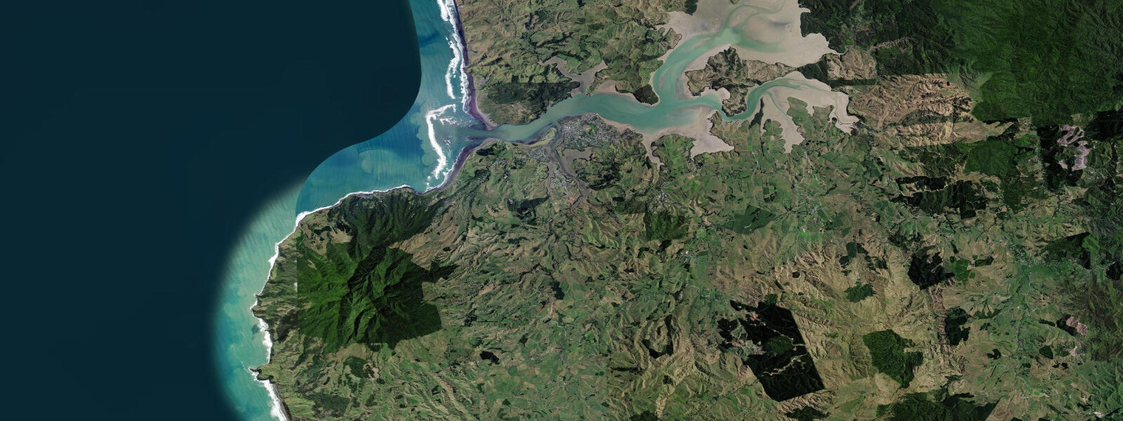
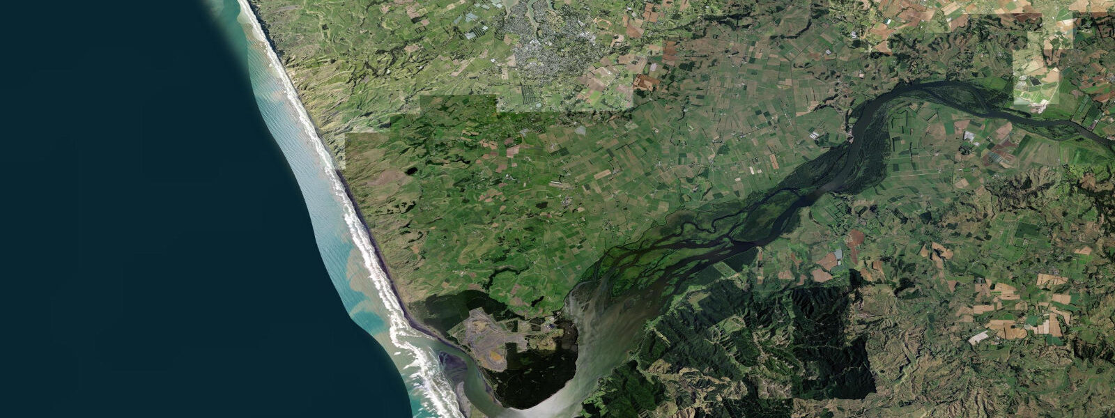
Raglan is on the west coast of the North Island, 50 kilometres west of Hamilton, and it is New Zealand's most celebrated surf town. The Raglan Harbour — a large tidal estuary fed by the Waitetuna River — sits behind the headland; the surf breaks are on the open west coast facing the Tasman Sea. Tidal pattern is semidiurnal with a mean spring range of about 1.8 metres. The estuary reveals extensive sand and mudflats at low water and fills to navigable depth on the flood — a complete transformation twice a day.
Manu Bay and Whale Bay are the two main surf breaks south of the harbour entrance. Manu Bay (Indicators) is a long, perfect left-hand point break that runs up to 400 metres in ideal swell conditions — one of the longest rideable point breaks in New Zealand. The 1966 film Endless Summer featured Manu Bay and helped establish Raglan's international reputation. The wave works on south and southwest swells from Tasman Sea storms, typically best from May through September. Whale Bay, a short walk south from Manu Bay, is a shorter, more powerful left that handles larger swell.
The harbour is completely separate in character. At high water, the wide estuary has flat, clean water ideal for stand-up paddleboarding and kayaking — the mangrove channels on the northern side are sheltered and interesting to explore. At low water, the sand and mud flats are exposed and the wading birds (godwits, oystercatchers, herons) work the margins. The harbour bar at the mouth can be rough in onshore conditions and should be treated with caution in any sea state above 1 metre.
Climbing on the volcanic rock outcrops south of Manu Bay is a growing activity. The basalt formations at Te Toto Gorge (5 km south) have bolted sport climbing routes above the sea — the climbing is accessible at low water from the beach. The gorge itself drains to the sea at low tide and is a good rock pooling site.
Raglan town has a relaxed character with good cafes, an art scene, and the Xtreme Raglan surf school operating from Ngarunui Beach on the harbour side (the most protected surf teaching beach). Wetsuits are standard year-round — water temperature ranges 16°C in winter to 20°C in summer.
Predictions on this page come from Open-Meteo Marine, a gridded global ocean model. Accuracy is typically within plus or minus 45 minutes on timing and 0.2 to 0.3 metres on height — model-derived, not from a local gauge. For authoritative New Zealand tide data, consult Land Information New Zealand (LINZ) at linz.govt.nz.
Tide questions about Raglan
Quick answers to the most common questions about tide times, range, and water access at Raglan.
What are the surf breaks at Raglan?
Raglan has several breaks south of the harbour entrance. Manu Bay (also called Indicators) is a long left-hand point break — one of the longest in New Zealand — that can run 400 metres in ideal swell. Whale Bay is a shorter, more powerful left for intermediate to advanced surfers. Ngarunui Beach on the harbour side is the beginner beach with surf lifeguard presence in summer. All the main breaks are left-handers; they work best on south and southwest Tasman Sea swell.
What is the tidal range at Raglan?
Mean spring tidal range at Raglan is approximately 1.8 metres. The harbour estuary transformation is significant — at low water, extensive sand and mud flats are exposed across the wide estuary; at high water the estuary is navigable by kayak and paddleboard throughout. The surf breaks on the open coast are affected by tide more subtly — Manu Bay tends to be best at mid-tide when the point provides clean water for the running length of the wave.
Is Raglan good for beginner surfers?
Ngarunui Beach on the harbour side is the beginner surf area — sheltered from the full Tasman swell, patrolled by surf lifeguards in summer, with consistent small waves for learning. The point breaks at Manu Bay and Whale Bay are intermediate to advanced; the long rides can make them seem approachable but the power in larger swell is not beginner-appropriate. Xtreme Raglan Surf School operates from Ngarunui Beach with lessons and board hire.
What is the Raglan Harbour good for?
The Raglan Harbour estuary is excellent for flatwater paddling — kayak and stand-up paddleboard at mid to high tide, when the mangrove channels on the north side are accessible. The harbour road runs to a boat ramp near the wharf. At low water, the wading birds (bar-tailed godwits, South Island pied oystercatchers, white herons) feed on the exposed flats. Fishing in the estuary produces snapper, kahawai, and flounder from the channel edges.
What is the best time to surf at Raglan?
May through September is the most consistent period. Tasman Sea winter swells (3 to 6 foot groundswell from the southwest) produce the best Manu Bay conditions. Summer (December through February) has lighter, less consistent swell. The famous Endless Summer film was shot here in the 1960s, which gives the impression of year-round perfect waves — in reality, consistency is highest in winter. Check surf-forecast.com for the Raglan forecast; the best sessions are typically 3 to 5 hours after a front passes.
7-day tide table — Raglan
Heights relative to MSL. Predictions: Open-Meteo Marine (MeteoFrance SMOC, 0.08° grid) — heights relative to MSL (not chart datum / LAT). Model-derived.
| Day | Type | Time | Height |
|---|---|---|---|
| Sun 21 Jun | High | 00:45 | 1.6m |
| Low | 07:04 | -1.1m | |
| High | 13:15 | 1.3m | |
| Low | 19:20 | -1.0m | |
| Mon 22 Jun | High | 01:38 | 1.5m |
| Low | 07:58 | -0.9m | |
| High | 14:06 | 1.2m | |
| Tue 23 Jun | Low | 08:54 | -0.8m |
| High | 15:02 | 1.1m | |
| Low | 21:15 | -0.7m | |
| Wed 24 Jun | High | 03:24 | 1.2m |
| Low | 09:48 | -0.7m | |
| High | 16:00 | 1.1m | |
| Low | 22:11 | -0.5m | |
| Thu 25 Jun | High | 04:21 | 1.2m |
| Low | 10:42 | -0.6m | |
| High | 17:05 | 1.3m | |
| Low | 23:11 | -0.3m | |
| Fri 26 Jun | High | 05:20 | 1.3m |
| Low | 11:37 | -0.4m | |
| High | 17:58 | 1.3m | |
| Sat 27 Jun | Low | 00:10 | -0.3m |
| High | 06:08 | 1.2m | |
| Low | 11:00 | -0.4m |