Picton, Marlborough tide times
Picton, Marlborough tide forecast — heights relative to MSL.
Tide chart for Picton, Marlborough
24-hour cosine-interpolated curve around the present moment. Heights relative to MSL. Predictions: Predictions: Open-Meteo Marine (MeteoFrance SMOC, 0.08° grid).
Sun, moon and conditions on Sun 21 Jun
Snapshot at build time — refreshes daily. Sea state from Open-Meteo Marine.
Highs and lows next 7 days
Every predicted high and low for the next week, with the daily tidal coefficient (0–120; higher = bigger swing, > 95 means stronger currents).
Other spots nearby
The three closest curated TideTurtle locations to Picton, Marlborough, measured by great-circle distance.


Today's solunar windows
Solunar tradition: major periods are the ≈3h windows around moon transit and opposition; minor are ≈2h around moonrise and moonset. Pair with the local tide stage and wind for the best read.
Cycle dates near Picton, Marlborough
Next spring tide on Sat 20 Jun (range 1.4m). Next neap on Thu 25 Jun.
Spring tides cluster around new and full moons (biggest swings). Neap tides land on quarter moons (smallest swings). See the spring tide and neap tide glossary entries for the why.
About tides at Picton, Marlborough
A short guide to the coastline at Picton, Marlborough — geography, sea state, and what the tide is actually doing under your feet.
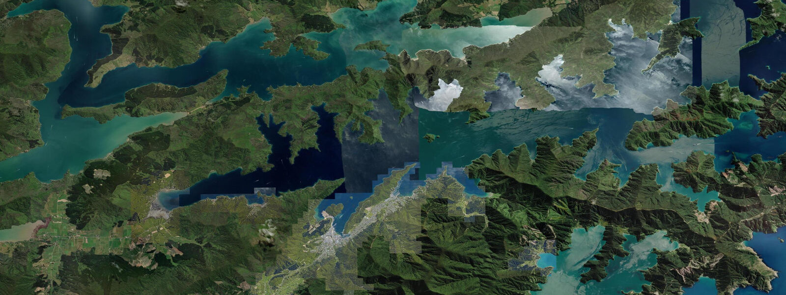
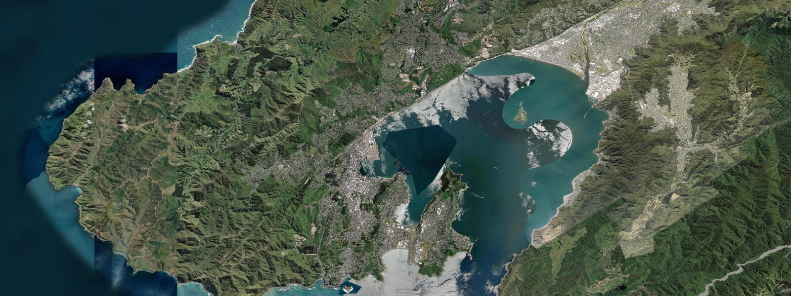
Picton sits at the southern end of Cook Strait, at the head of Queen Charlotte Sound where the Marlborough Sounds begin their drowned-valley reach into the South Island interior. The town is compact — a waterfront strip, a few streets deep — but the tidal water around it is anything but simple.
Cook Strait connects the Tasman Sea and the Pacific Ocean between the North and South Islands of New Zealand. The pressure difference across the strait drives some of the strongest tidal currents in the country. In the open strait itself the spring range runs 1.5–2.5 m, but the figure that matters more to anyone in a small vessel is the current: up to 4–5 knots through Tory Channel, the eastern entrance to the Marlborough Sounds, where the tidal flow is funnelled between steep bush-clad walls. On a spring ebb, that channel runs hard enough to overtake an underpowered dinghy. Timing the transit through Tory Channel to a fair tide is not optional — it is the first piece of local knowledge every skipper here acquires.
The Marlborough Sounds themselves are a ria system: river valleys drowned by post-glacial sea-level rise, now filled with saltwater and cut into dozens of bays, inlets, and side arms. The tidal behaviour inside the sounds diverges progressively from Cook Strait as you travel further in. At Picton, which sits near the sound entrance, spring high water arrives roughly in step with the strait. Five kilometres up a side arm the timing shifts; at the far reaches of some inlets the tidal range compresses and the timing lags the strait by an hour or more. Kayakers and water-taxi operators who move through the sounds habitually check conditions at the specific location they are heading to, not just at the Picton town waterfront.
For the Interislander and Bluebridge ferry services, Picton is the South Island terminal. The Interislander crossing from Wellington takes approximately 3 hours; Bluebridge runs 3.5 hours. Wellington is 96 km to the northeast across Cook Strait, visible on clear days as a low smudge of hills above the water. The ferry arrives at the Picton terminal on the town waterfront — there is no transfer, no pier bus, just the ramp and the town. The terminal operates around the clock across the seasonal timetable, and its presence sets the rhythm of the town: Picton wakes and quiets with the sailings.
The tidal context for ferry passengers is indirect but real. The Cook Strait crossing is notoriously rough in southerlies — a 25-knot southerly builds a short, steep chop in the strait's confined fetch, and departures are occasionally delayed or cancelled when conditions exceed operating limits. The tidal stream interacts with the wind-driven swell in the strait, and the most uncomfortable crossings tend to occur when a strong swell runs against a foul current near the strait's entrance. Checking the day's tide timing is therefore useful context for anyone watching a sailing cancellation announcement.
At the Picton waterfront, steps from the ferry terminal, sits the Edwin Fox — launched in 1853 and the second-oldest surviving wooden ship in the world. She made 11 voyages carrying immigrants from Britain to New Zealand and served as a refrigerated cargo hulk before being permanently moored here. The museum built around her hull provides a direct line to the port trade that shaped the sounds before road access existed. The ship is on the water, tidal, accessible at all states of the tide from the boardwalk.
The Queen Charlotte Track runs 71 km from Ship Cove, near the mouth of Queen Charlotte Sound, back through the ridgeline bush to Anakiwa at the sound's inner end. Ship Cove is where Captain Cook careened and provisioned his ships on multiple visits — the cove's sheltered geometry and freshwater made it a natural stopping point, and the tidal flat there still silts at low water the same way it did in Cook's time. Water taxis from Picton run to Ship Cove on demand, typically 45 minutes each way, and the timetable is passenger-driven rather than fixed. Most walkers ride a water taxi to Ship Cove, walk a day or more of the track, and arrange a shuttle or return leg at Anakiwa. The taxis operate on the sound's tidal waters; in the outer reaches the swells from Cook Strait roll through, and on windy days departures depend on the exposed sections of the route. Operators advise passengers of conditions at booking.
For kayakers, the paddling within the sounds requires attention to wind more than tide — the sounds are sheltered enough that tidal current inside most bays is manageable, but the outer sections near Tory Channel expose you to Cook Strait wind acceleration. The standard practice is to paddle early, before the afternoon northerly builds, and to plan legs around the tidal state in the channel.
Anglers work the sounds for blue cod, snapper, and groper. The current lines off headlands and the channel margins are productive — baitfish concentrate where the tidal flow meets a point of land, and the predator fish hold just downstream. The Tory Channel entrance is a known blue cod ground precisely because the current never fully stops there.
Tide data for Picton, Marlborough comes from the Open-Meteo Marine API, a gridded model product. Timing accuracy is ±45 minutes, height accuracy ±0.3 m — usable for trip planning, not for navigation.
Tide questions about Picton, Marlborough
Quick answers to the most common questions about tide times, range, and water access at Picton, Marlborough.
What is the tidal range at Picton and how does it compare to the rest of the Marlborough Sounds?
At Picton, spring tides reach a range of roughly 1.5–2.5 m, in line with the broader Cook Strait regime. Further into the sounds the range compresses slightly and the timing shifts — a spring high that arrives at Picton at, say, 09:15 may not reach an inner bay until 10:30 or later. The sounds' drowned-valley shape funnels and delays the tidal signal the further you travel from the open strait. The practical consequence is that tide tables for Picton town do not accurately represent conditions at specific coves further in. Water-taxi operators and local skippers use corrections derived from experience with specific bays on their regular routes.
How strong is the current in Tory Channel and when does it peak?
Tory Channel, the eastern entrance to the Marlborough Sounds, carries up to 4–5 knots on spring tides — strong enough to push a small vessel sideways if approached incorrectly. The current peaks roughly 1–2 hours after the Cook Strait high or low, as the pressure differential between the strait and the sound interior drives the flow through the channel neck. The ebb runs southeast toward the open strait; the flood runs northwest into the sounds. Small vessels should plan Tory Channel transits to coincide with a fair tide or at least slack water. Timing a 4-knot counter-current in a vessel making 6 knots through the water is uncomfortable and potentially dangerous in the channel's steep-walled narrows.
Do tides affect the Interislander and Bluebridge ferry crossings between Picton and Wellington?
The ferries are large enough that tidal current has minimal direct effect on their crossing time or handling. The relevant variable is sea state. Cook Strait is exposed to southerly fetch from the Southern Ocean, and when a southerly produces swell in the strait, the interaction of that swell with a tidal counter-current near the strait's northern entrance can produce steep, confused conditions. Ferry cancellations relate to sea state rather than tidal height directly, but the two are linked. Checking the forecast before a sailing is more useful than checking the tide table alone. The Interislander crossing runs approximately 3 hours; Bluebridge approximately 3.5 hours under normal conditions.
What is the best way to plan the Queen Charlotte Track using water taxis from Picton?
Water taxis depart Picton for Ship Cove on demand rather than on a fixed schedule — book ahead, particularly in summer. Ship Cove is roughly 45 minutes by water taxi from Picton through Queen Charlotte Sound. Most walkers take a taxi to Ship Cove (the northern trailhead) and walk south toward Anakiwa over 3–5 days, arranging shuttles or accommodation boats along the way. The taxis operate on tidal waters; the outer reaches of the sound can be rough in strong northerlies. Operators will advise at booking if conditions are likely to affect departure. Tidal state does not significantly affect taxi operations inside the sound under normal weather.
Where do anglers fish around Picton and how does the tide influence the bite?
Blue cod, snapper, and groper are the main targets in the sounds around Picton. The productive spots are current-affected: headlands and channel margins where the tidal flow concentrates baitfish. The Tory Channel entrance is a reliable blue cod ground because the current there runs persistently, keeping oxygenated, food-rich water moving through year-round. On a flooding tide, snapper move into the shallower bays chasing baitfish pushed in by the current. On the ebb they tend to hold on the channel edges waiting for prey swept out of the bays. Local boat anglers plan their sessions around the tidal stage at the specific ground they are targeting, not just at Picton town.
7-day tide table — Picton, Marlborough
Heights relative to MSL. Predictions: Open-Meteo Marine (MeteoFrance SMOC, 0.08° grid) — heights relative to MSL (not chart datum / LAT). Model-derived.
| Day | Type | Time | Height |
|---|---|---|---|
| Sun 21 Jun | Low | 03:40 | -0.5m |
| High | 09:47 | 0.7m | |
| Low | 15:48 | -0.5m | |
| High | 22:14 | 0.9m | |
| Mon 22 Jun | Low | 04:34 | -0.5m |
| High | 10:39 | 0.7m | |
| Low | 16:50 | -0.5m | |
| High | 23:04 | 0.8m | |
| Tue 23 Jun | Low | 05:25 | -0.5m |
| High | 11:34 | 0.7m | |
| Low | 17:42 | -0.4m | |
| High | 23:54 | 0.7m | |
| Wed 24 Jun | Low | 06:12 | -0.4m |
| High | 12:25 | 0.7m | |
| Low | 18:35 | -0.3m | |
| Thu 25 Jun | High | 00:43 | 0.7m |
| Low | 07:02 | -0.3m | |
| High | 13:19 | 0.7m | |
| Low | 19:25 | -0.1m | |
| Fri 26 Jun | High | 01:36 | 0.8m |
| Low | 07:53 | -0.1m | |
| High | 14:08 | 0.9m | |
| Low | 20:24 | -0.0m | |
| Sat 27 Jun | High | 02:18 | 0.8m |
| Low | 08:51 | -0.1m | |
| High | 11:00 | 0.2m |