Wairoa tide times
Wairoa tide forecast — heights relative to MSL.
Tide chart for Wairoa
24-hour cosine-interpolated curve around the present moment. Heights relative to MSL. Predictions: Predictions: Open-Meteo Marine (MeteoFrance SMOC, 0.08° grid).
Sun, moon and conditions on Tue 23 Jun
Snapshot at build time — refreshes daily. Sea state from Open-Meteo Marine.
Highs and lows next 7 days
Every predicted high and low for the next week, with the daily tidal coefficient (0–120; higher = bigger swing, > 95 means stronger currents).
Other spots nearby
The three closest curated TideTurtle locations to Wairoa, measured by great-circle distance.
Today's solunar windows
Solunar tradition: major periods are the ≈3h windows around moon transit and opposition; minor are ≈2h around moonrise and moonset. Pair with the local tide stage and wind for the best read.
Cycle dates near Wairoa
Next spring tide on Mon 22 Jun (range 1.4m). Next neap on Sat 27 Jun.
Spring tides cluster around new and full moons (biggest swings). Neap tides land on quarter moons (smallest swings). See the spring tide and neap tide glossary entries for the why.
About tides at Wairoa
A short guide to the coastline at Wairoa — geography, sea state, and what the tide is actually doing under your feet.
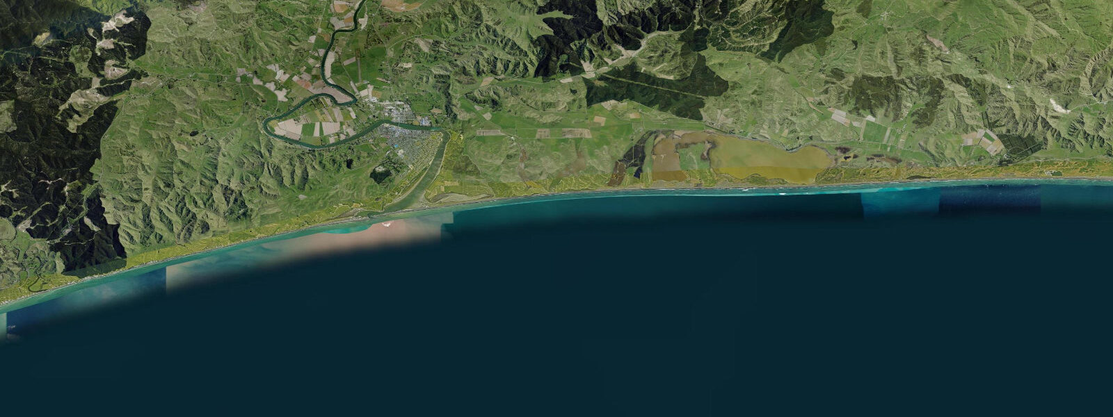
Wairoa sits 60 km north of Napier at the mouth of the Wairoa River, where one of the largest river catchments in the North Island drains into Hawke Bay. The town straddles the riverbank in the final 2 km before the river meets the sea at a broad, often tide-influenced river mouth. The tidal pattern is semidiurnal with a mean range of approximately 1.4 m above LAT — slightly larger than at Napier to the south, consistent with the character of the northern Hawke's Bay coast.
The Wairoa River itself is the defining feature for water-based activity. The lower river is tidal — the flood tide backs up the estuary section, slowing the outflow and creating slack-water conditions ideal for flatwater kayaking, rowing, and fishing from the bank or by boat. The river holds good numbers of snapper, kahawai, and flounder in the tidal reach, particularly during the outgoing tide when baitfish are pushed seaward. The Wairoa Rowing Club operates on the river from the Wairoa Bridge area.
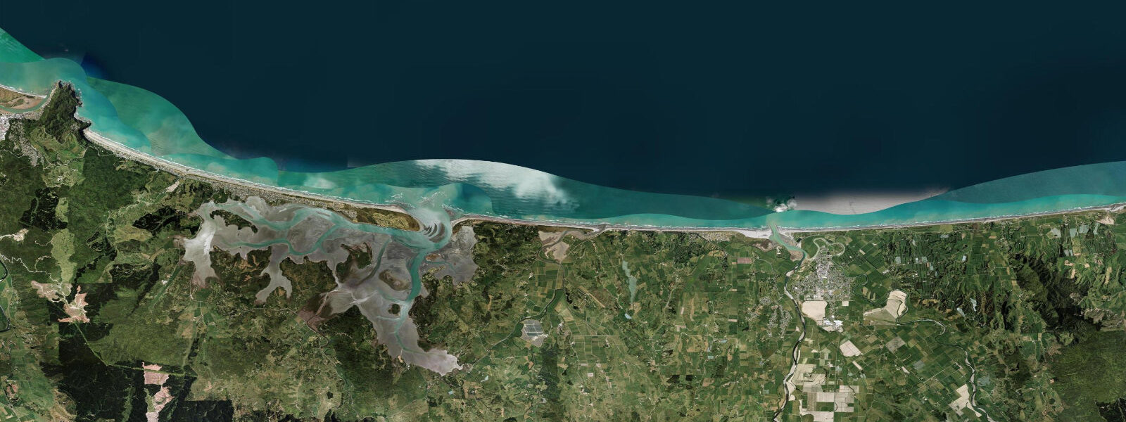
Wairoa's river mouth beach — a sand and gravel barrier spit — is typical of the Hawke's Bay coast: exposed to northeast and east swells, often with a strong longshore current driven by the prevailing east swell direction. The spit position shifts year to year as the river floods deposit sediment and winter swells rework the bar. Fishing off the beach is productive for kahawai, which school around the river mouth plume during the early flood tide.
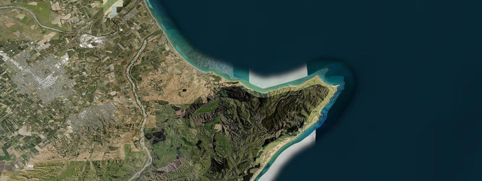
The Wairoa district extends northeast into the remote Māhia Peninsula — a limestone headland with significant Māori history (Te Māhia — the headland of Māhia) that forms the northern boundary of Hawke Bay. Māhia Beach on the western side of the peninsula faces northwest into Hawkdun Bay, a calmer water body sheltered by the peninsula. The Eastern Māhia coast is more exposed and excellent for surfcasting.
Lake Waikaremoana, 65 km inland in Te Urewera (the former national park, now under Tūhoe governance), is accessible via SH38 through Wairoa — the gateway town for one of New Zealand's Great Walks. The lake is completely non-tidal but the journey to reach it passes through the Wairoa River valley.
Predictions on this page come from Open-Meteo Marine, a gridded global ocean model. Accuracy is typically within ±45 minutes on timing and ±0.2–0.3 m on height — model-derived, not from a local gauge. For authoritative New Zealand tide data, consult Land Information New Zealand (LINZ) at linz.govt.nz.
Tide questions about Wairoa
Quick answers to the most common questions about tide times, range, and water access at Wairoa.
What is the tidal range at Wairoa?
Wairoa has a semidiurnal tidal pattern with a mean range of approximately 1.4 m above LAT — two highs and two lows each day. The range is slightly larger than the Napier gauge to the south. In the lower Wairoa River, the tidal influence is felt for several kilometres upstream of the river mouth; the flood tide slows and reverses the river current in the tidal reach, creating slack-water conditions at the turn of tide. River fishers targeting snapper and kahawai in the tidal reach find the early flood tide most productive.
What fish can I catch around the Wairoa River mouth?
The Wairoa River mouth and tidal estuary hold snapper (pātiki), kahawai, and flounder (pātiki) in the tidal reach. Kahawai school around the river mouth plume during the early flood tide when baitfish are concentrated — surfcasting from the beach spit is most productive in this window. Snapper work the deeper channel sections on the flood and ebb. The river upstream of the tidal reach holds trout (brown and rainbow) in the freshwater sections managed under Hawke's Bay Fish and Game Council regulations.
Is the Wairoa River good for kayaking?
The lower tidal reach of the Wairoa River — from roughly the Wairoa Bridge to the river mouth — is well-suited to flatwater kayaking on mid to high tide, when the depth is sufficient and the current is slack or flooding. The river is wide, calm, and sheltered from the east swell that affects the open beach. The Wairoa Rowing Club and local kayak operators have access points near the bridge. The river mouth area can have a strong outgoing current on the ebb; keep this in mind when paddling near the bar.
What is Māhia Peninsula near Wairoa?
Māhia Peninsula is a limestone headland 30 km northeast of Wairoa that divides northern Hawke Bay from Poverty Bay. It has significant Māori cultural importance (a major ancestral area for Ngāti Kahungunu and other iwi). Māhia Beach on the northwest side of the peninsula is a popular holiday settlement with sheltered swimming. The Māhia Peninsula east coast is more exposed, with good surfcasting and occasional surf. Rocket Lab, the New Zealand aerospace company, launches its Electron rockets from the Māhia Peninsula launch complex — visible from the beach when launches are scheduled.
How accurate are the tide predictions here for the Wairoa area?
Predictions on this page come from Open-Meteo Marine, a global ocean model accurate to within ±45 minutes on timing and ±0.2–0.3 m on height. For general planning — choosing which half of the day to fish or paddle — this is sufficient. For activities that depend on precise tide timing, such as crossing a tidal river bar or accessing a tidal flat at the margin of a safe window, use the authoritative LINZ tide tables at linz.govt.nz. The Wairoa or Napier gauge data from LINZ is the appropriate reference for this part of Hawke's Bay. These predictions on TideTurtle are not a navigation instrument.
7-day tide table — Wairoa
Heights relative to MSL. Predictions: Open-Meteo Marine (MeteoFrance SMOC, 0.08° grid) — heights relative to MSL (not chart datum / LAT). Model-derived.
| Day | Type | Time | Height |
|---|---|---|---|
| Tue 23 Jun | Low | 05:01 | -0.5m |
| High | 11:12 | 0.9m | |
| Low | 17:23 | -0.5m | |
| High | 23:36 | 0.9m | |
| Wed 24 Jun | Low | 05:58 | -0.5m |
| High | 12:11 | 0.8m | |
| Low | 18:15 | -0.4m | |
| Thu 25 Jun | High | 13:02 | 0.9m |
| Low | 19:10 | -0.3m | |
| Fri 26 Jun | High | 01:22 | 1.0m |
| Low | 07:38 | -0.2m | |
| High | 13:51 | 1.0m | |
| Low | 20:06 | -0.2m | |
| Sat 27 Jun | High | 02:10 | 0.9m |
| Low | 08:21 | -0.2m | |
| High | 14:39 | 1.0m | |
| Low | 20:55 | -0.1m | |
| Sun 28 Jun | High | 03:00 | 0.9m |
| Low | 09:12 | -0.2m | |
| Mon 29 Jun | High | 03:51 | 0.9m |
| Low | 10:02 | -0.2m |