Sumner Beach, Christchurch tide times
Sumner Beach, Christchurch tide forecast — heights relative to MSL.
Tide chart for Sumner Beach, Christchurch
24-hour cosine-interpolated curve around the present moment. Heights relative to MSL. Predictions: Predictions: Open-Meteo Marine (MeteoFrance SMOC, 0.08° grid).
Sun, moon and conditions on Tue 23 Jun
Snapshot at build time — refreshes daily. Sea state from Open-Meteo Marine.
Highs and lows next 7 days
Every predicted high and low for the next week, with the daily tidal coefficient (0–120; higher = bigger swing, > 95 means stronger currents).
Other spots nearby
The three closest curated TideTurtle locations to Sumner Beach, Christchurch, measured by great-circle distance.
Today's solunar windows
Solunar tradition: major periods are the ≈3h windows around moon transit and opposition; minor are ≈2h around moonrise and moonset. Pair with the local tide stage and wind for the best read.
Cycle dates near Sumner Beach, Christchurch
Last spring tide on Sun 21 Jun (range 1.8m). Next spring tide on Fri 26 Jun (range 1.7m). Next neap on Wed 24 Jun.
Spring tides cluster around new and full moons (biggest swings). Neap tides land on quarter moons (smallest swings). See the spring tide and neap tide glossary entries for the why.
About tides at Sumner Beach, Christchurch
A short guide to the coastline at Sumner Beach, Christchurch — geography, sea state, and what the tide is actually doing under your feet.
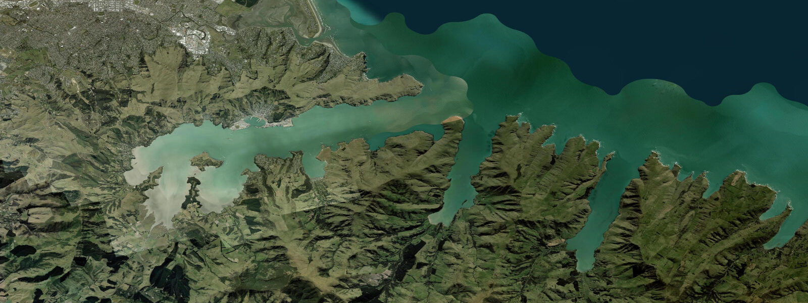
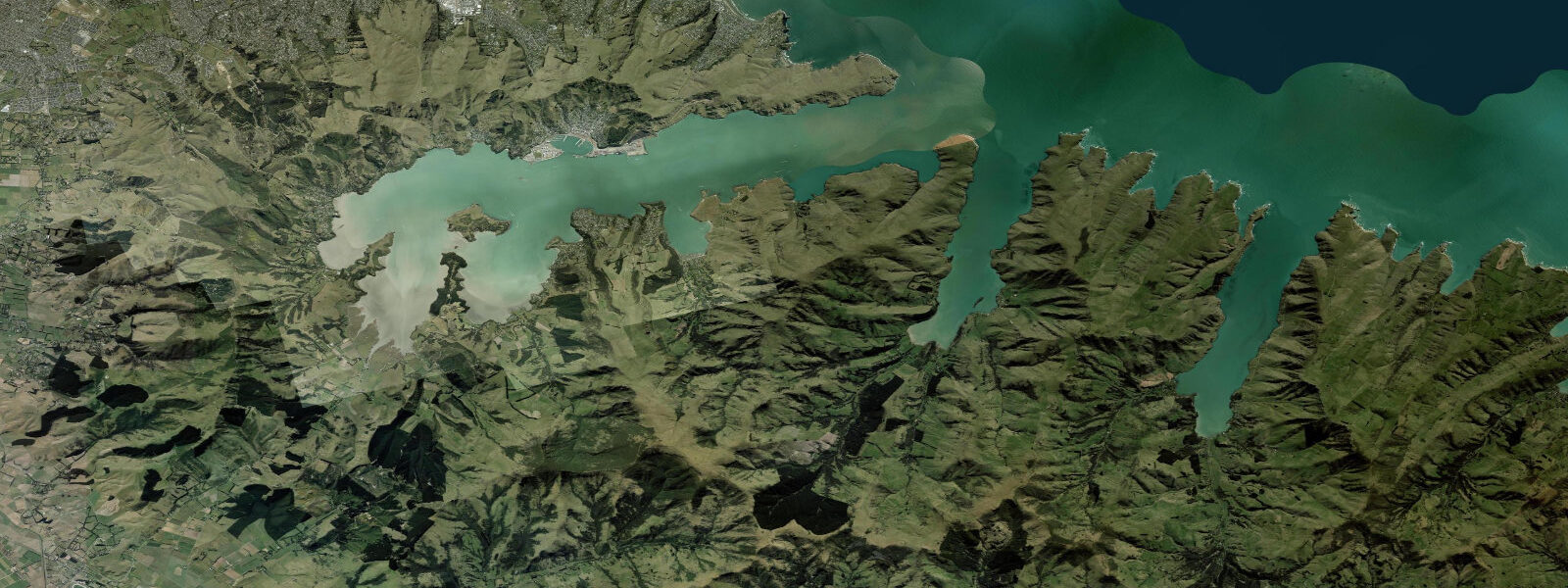
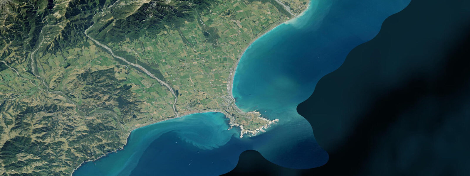
Sumner Beach is Christchurch's beach suburb, 12 km southeast of the city centre at the mouth of the Avon-Heathcote Estuary where it meets the Pacific Ocean. The suburb sits between the sea and the unstable volcanic cliffs of the Banks Peninsula foothills — a setting that was central to the 2011 Christchurch earthquake sequence. The tidal pattern at Sumner is semidiurnal with a mean range of approximately 1.8 m above LAT, one of the larger ranges on the Canterbury coast, giving the beach a wide tidal zone that shifts the surf break position significantly through the cycle.
The 22 February 2011 Christchurch earthquake (magnitude 6.2, 185 deaths) triggered multiple cliff failures along the Sumner hillside above Esplanade Road. The fragile rhyolite and loess cliff faces, already weakened by the September 2010 earthquake, shed large sections that destroyed houses, blocked roads, and fundamentally altered the skyline. Several cliff-top properties were subsequently red-zoned. The cliffs above Sumner Beach are geotechnically monitored and fencing below unstable sections is permanent. The base of the cliffs near Cave Rock is not a safe area in any rain or seismic event.
Cave Rock (Tuawera) is the iconic basalt outcrop sitting on the beach at Sumner's eastern end — a volcanic plug from the Banks Peninsula volcanic system that provides both a landmark and a climbing venue. The rock is accessible at low tide by walking along the beach, and the short bouldering and toprope routes on its seaward face are a local institution. At high tide, the base of Cave Rock is partially washed by the sea, and the beach narrows to nothing at the most swollen spring tides.
Sumner has a consistent beach break driven by southeast and east swells that refract around Banks Peninsula. The break works at most tide stages but is at its most organised on mid tide — the high-tide shorebreak is steep and short; at low water the wave energy is distributed more widely across the sand. Water temperature runs 13°C in winter (August) to 18°C in summer (February); a 4/3mm wetsuit is standard year-round.
The Avon-Heathcote Estuary (Ihutai) behind the beach is a significant habitat for migratory and resident wading birds. The estuary mouth is managed by Environment Canterbury (ECan). Kayaking through the estuary channels is popular from the Ferrymead boat ramp, particularly on the flood tide when the channels are navigable through the reed beds.
Predictions on this page come from Open-Meteo Marine, a gridded global ocean model. Accuracy is typically within ±45 minutes on timing and ±0.2–0.3 m on height — model-derived, not from a local gauge. For authoritative New Zealand tide data, consult Land Information New Zealand (LINZ) at linz.govt.nz.
Tide questions about Sumner Beach, Christchurch
Quick answers to the most common questions about tide times, range, and water access at Sumner Beach, Christchurch.
What is the tidal range at Sumner Beach?
Sumner Beach has a semidiurnal tidal pattern with a mean range of approximately 1.8 m above LAT. Spring tides are larger and neap tides smaller than this average. The 1.8 m range is significant for a surf beach — the break position shifts 30 to 50 metres across the tidal cycle, and the beach width changes dramatically between low tide (wide and flat) and high tide (narrow, with the sea reaching the upper beach wall in larger swell). Surfing is possible across all tide stages; mid tide is generally most consistent.
Is it safe to walk below the Sumner cliffs?
The volcanic cliffs above Esplanade Road and the hillside behind Sumner are geotechnically unstable following the 2010 and 2011 Canterbury earthquake sequence. Multiple cliff falls occurred during and after those events; the Christchurch City Council maintains monitoring and permanent exclusion fencing below the most unstable sections. Walking at the base of any cliff at Sumner, particularly in wet weather or after any seismic activity, carries real risk. Cave Rock itself (the basalt plug on the beach) is geologically different and stable; the hazard is the loess and rhyolite cliff faces above the residential streets, not Cave Rock.
What is Cave Rock at Sumner?
Cave Rock (Tuawera in Māori) is a free-standing basalt sea stack on the beach at the eastern end of Sumner. It is a volcanic plug from the Banks Peninsula eruptive system, more resistant to erosion than the surrounding soft cliffs, and now sits isolated on the beach. The rock has a natural sea cave at its base (accessible at low to mid tide), plus bouldering and toprope climbing routes on its outer faces — a local outdoor venue. At low water, Cave Rock is fully surrounded by sand; at high spring tides, the sea reaches its base.
Is Sumner Beach good for surfing?
Sumner is Christchurch's most accessible surf beach — a beach break that works on southeast and east swells refracted around the Banks Peninsula headland. It is most consistent at mid tide. Wave size is typically 2 to 4 feet in moderate swell; larger southeast swells after Southern Ocean storms can push it to 6 feet. Water temperature ranges 13°C in winter to 18°C in summer — a 4/3mm wetsuit is standard. The Sumner Surf Life Saving Club (founded 1911, one of the oldest in New Zealand) has patrol presence on summer weekends.
How reliable are tide predictions at Sumner for surf and beach planning?
Predictions here come from Open-Meteo Marine, a global ocean model accurate to within ±45 minutes on timing and ±0.2–0.3 m on height. For surf and beach planning — knowing whether you're heading into a high tide or a low tide session — this is adequate. For any activity that depends on precise water levels, such as timing access to Cave Rock's base or planning estuary kayaking window, use the authoritative LINZ tide tables at linz.govt.nz (Lyttelton gauge is the closest reference station for Sumner). These predictions on TideTurtle are not a navigation instrument.
7-day tide table — Sumner Beach, Christchurch
Heights relative to MSL. Predictions: Open-Meteo Marine (MeteoFrance SMOC, 0.08° grid) — heights relative to MSL (not chart datum / LAT). Model-derived.
| Day | Type | Time | Height |
|---|---|---|---|
| Tue 23 Jun | Low | 03:50 | -0.8m |
| High | 10:05 | 1.0m | |
| Low | 16:10 | -0.7m | |
| High | 22:32 | 1.0m | |
| Wed 24 Jun | Low | 04:44 | -0.7m |
| High | 11:01 | 1.0m | |
| Low | 17:10 | -0.6m | |
| High | 23:21 | 1.0m | |
| Thu 25 Jun | Low | 05:36 | -0.6m |
| High | 11:54 | 1.1m | |
| Low | 18:04 | -0.4m | |
| Fri 26 Jun | High | 00:15 | 1.1m |
| Low | 06:24 | -0.4m | |
| High | 12:42 | 1.3m | |
| Low | 18:56 | -0.1m | |
| Sat 27 Jun | High | 01:04 | 1.2m |
| Low | 07:17 | -0.2m | |
| High | 13:26 | 1.2m | |
| Low | 19:51 | -0.3m | |
| Sun 28 Jun | High | 01:43 | 1.0m |
| Low | 08:04 | -0.5m | |
| High | 14:14 | 1.0m | |
| Mon 29 Jun | Low | 08:45 | -0.7m |
| High | 11:00 | -0.2m |