Akaroa tide times
Akaroa tide forecast — heights relative to MSL.
Tide chart for Akaroa
24-hour cosine-interpolated curve around the present moment. Heights relative to MSL. Predictions: Predictions: Open-Meteo Marine (MeteoFrance SMOC, 0.08° grid).
Sun, moon and conditions on Tue 23 Jun
Snapshot at build time — refreshes daily. Sea state from Open-Meteo Marine.
Highs and lows next 7 days
Every predicted high and low for the next week, with the daily tidal coefficient (0–120; higher = bigger swing, > 95 means stronger currents).
Other spots nearby
The three closest curated TideTurtle locations to Akaroa, measured by great-circle distance.
Today's solunar windows
Solunar tradition: major periods are the ≈3h windows around moon transit and opposition; minor are ≈2h around moonrise and moonset. Pair with the local tide stage and wind for the best read.
Cycle dates near Akaroa
Last spring tide on Sun 21 Jun (range 1.6m). Next neap on Wed 24 Jun.
Spring tides cluster around new and full moons (biggest swings). Neap tides land on quarter moons (smallest swings). See the spring tide and neap tide glossary entries for the why.
About tides at Akaroa
A short guide to the coastline at Akaroa — geography, sea state, and what the tide is actually doing under your feet.
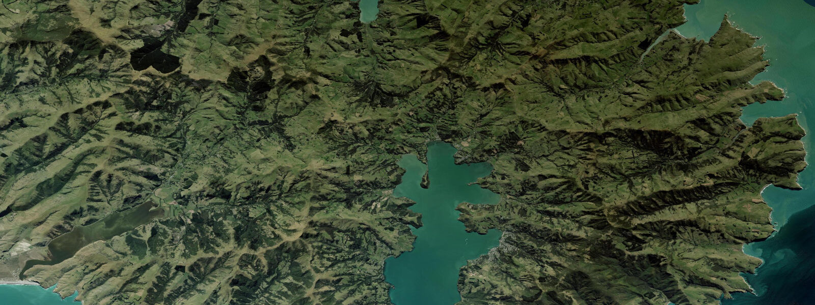
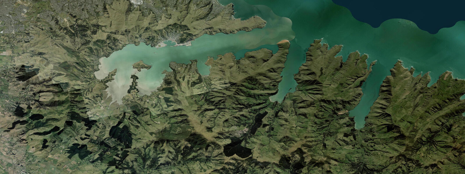
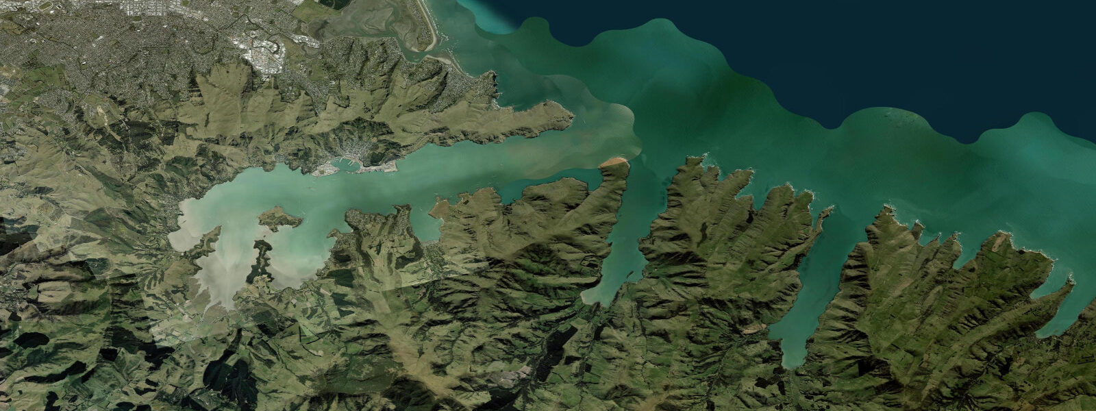
Akaroa Harbour fills the outer crater of an extinct volcano on Banks Peninsula, 80 km southeast of Christchurch. The harbour is a drowned volcanic caldera — steep, forested crater walls drop to a narrow strip of flat ground at the waterline, and the harbour water is deep (over 30 m in the main channel) even close to shore. This enclosed, sheltered geometry makes Akaroa one of the calmest harbours on the South Island east coast. The tidal range is approximately 1.5 m mean above LAT, semidiurnal.
Akaroa is New Zealand's only French colonial settlement. In August 1840, the ship Comte de Paris arrived from France carrying 63 French and German settlers intended to establish a French colony at Te Pātaka (Akaroa). They found that New Zealand had already been formally annexed by the British Crown under the Treaty of Waitangi in February of that year. The French settlers remained and established the town regardless; the streets retain their original French names (Rue Lavaud, Rue Jolie, Rue Grehan), and the village character — small painted timber houses on the harbour flat — reflects the mixed French and British heritage. The Akaroa French Festival is held annually.
Hector's dolphins (Cephalorhynchus hectori) live in Akaroa Harbour year-round. This is the world's smallest dolphin (1.2–1.4 m, endemic to New Zealand) and one of the rarest marine dolphin species, with a total population of approximately 15,000 individuals in New Zealand coastal waters. The population in and around Akaroa Harbour is a permanent resident group. Boat tours from the Akaroa wharf run daily in season to encounter the dolphins; swim-with-dolphins experiences are available under DOC permit. Hector's dolphins are shallow-water animals — they rarely dive below 100 m and frequently come within metres of boats and snorkellers in the harbour.
Akaroa Harbour is the best kayaking harbour on the Canterbury coast. The deep, calm water, the volcanic crater walls, and the wildlife make it a distinctive paddling environment. Commercial sea-kayaking tours operate from the Akaroa waterfront; independent kayakers can launch from the main beach. The harbour's sheltered character means conditions are manageable for intermediate paddlers even in moderate east winds. The entrance to the harbour (the narrows between the outer crater walls) can have a stronger tidal current on springs — keep this in mind when paddling near the entrance.
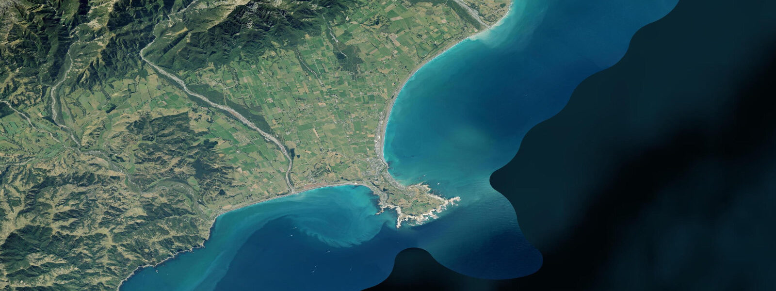
The Banks Peninsula coast outside the harbour mouth is exposed to Southern Ocean and southeast Pacific swell. Pohatu Penguin Reserve (20 km southeast of Akaroa on the outer peninsula coast) is the largest little blue penguin colony on the South Island mainland, accessible by tour or on foot after dark for penguin-watching.
Predictions on this page come from Open-Meteo Marine, a gridded global ocean model. Accuracy is typically within ±45 minutes on timing and ±0.2–0.3 m on height — model-derived, not from a local gauge. For authoritative New Zealand tide data, consult Land Information New Zealand (LINZ) at linz.govt.nz.
Tide questions about Akaroa
Quick answers to the most common questions about tide times, range, and water access at Akaroa.
Can I swim with Hector's dolphins at Akaroa?
Yes — Akaroa is the most reliable place in New Zealand to encounter Hector's dolphins. Several operators (Black Cat Cruises, Akaroa Dolphins) run permitted swim-with-dolphin experiences from the Akaroa wharf. The dolphins are genuinely curious and naturally approach swimmers and snorkellers in the harbour; the encounters are not baited or driven. DOC regulates the number of permitted operators and the conditions under which interactions occur. Water temperature is 13–17°C; a wetsuit is provided. Tours run from October through May; September and June exist but conditions are less reliable.
Why does Akaroa have French street names?
Akaroa was the intended site of a French colonial settlement. The Comte de Paris arrived in August 1840 with 63 French and German settlers, but New Zealand had already been annexed by Britain under the Treaty of Waitangi in February. The French settlers stayed and built the town anyway; their original street names (Rue Lavaud, Rue Jolie, Rue Grehan, Rue Balguerie) have been retained. The town's character — painted timber houses on the harbour flat, small Catholic church, French-named establishments — reflects this mixed heritage, unique in New Zealand.
What is the tidal range at Akaroa?
Akaroa Harbour has a semidiurnal tidal pattern with a mean range of approximately 1.5 m above LAT. Inside the enclosed volcanic crater harbour, tidal currents are gentle — the large basin fills and drains relatively slowly through the narrow entrance. The main tidal consideration for paddlers is at the harbour entrance, where the current on spring tides can reach 1–2 knots. Within the main harbour, conditions are calm across all tide stages. Low tide exposes a modest tidal flat around the Akaroa waterfront.
Is Akaroa Harbour good for kayaking?
Akaroa is one of the finest sea-kayaking locations on the South Island east coast. The enclosed volcanic crater provides shelter from the east and southeast swells that affect the open Canterbury coast; the harbour walls are steep and forested; and the wildlife — Hector's dolphins, little blue penguins, spotted shags, and wading birds — make encounters routine on any paddle. Commercial sea-kayak tours operate from the waterfront; independent launches from the main beach are straightforward. The harbour entrance requires attention to tidal current on spring tides.
Are the tide predictions here safe to use for planning Akaroa activities?
Predictions on this page come from Open-Meteo Marine, a global ocean model with typical accuracy of ±45 minutes on timing and ±0.2–0.3 m on height. For general planning — choosing tide stage for kayaking or dolphin tours — this is adequate. For any navigation decision at or near the harbour entrance, where tidal current varies meaningfully with tide stage, use the authoritative LINZ tide tables at linz.govt.nz (Akaroa or Lyttelton gauge). TideTurtle predictions are a planning guide; LINZ data is the navigation reference.
7-day tide table — Akaroa
Heights relative to MSL. Predictions: Open-Meteo Marine (MeteoFrance SMOC, 0.08° grid) — heights relative to MSL (not chart datum / LAT). Model-derived.
| Day | Type | Time | Height |
|---|---|---|---|
| Tue 23 Jun | Low | 03:10 | -0.7m |
| High | 09:24 | 0.9m | |
| Low | 15:38 | -0.7m | |
| High | 21:54 | 0.9m | |
| Wed 24 Jun | Low | 04:04 | -0.6m |
| High | 10:23 | 0.9m | |
| Low | 16:33 | -0.5m | |
| High | 22:46 | 1.0m | |
| Thu 25 Jun | Low | 04:56 | -0.5m |
| High | 23:43 | 1.1m | |
| Fri 26 Jun | Low | 05:44 | -0.2m |
| High | 12:07 | 1.3m | |
| Low | 18:22 | -0.1m | |
| Sat 27 Jun | High | 00:22 | 1.2m |
| Low | 06:43 | -0.2m | |
| High | 12:50 | 1.2m | |
| Low | 19:13 | -0.3m | |
| Sun 28 Jun | High | 01:08 | 0.9m |
| Low | 19:54 | -0.5m | |
| Mon 29 Jun | High | 01:56 | 0.7m |
| Low | 08:06 | -0.6m | |
| High | 11:00 | 0.0m |