Mount Maunganui tide times
Mount Maunganui tide forecast — heights relative to MSL.
Tide chart for Mount Maunganui
24-hour cosine-interpolated curve around the present moment. Heights relative to MSL. Predictions: Predictions: Open-Meteo Marine (MeteoFrance SMOC, 0.08° grid).
Sun, moon and conditions on Sun 21 Jun
Snapshot at build time — refreshes daily. Sea state from Open-Meteo Marine.
Highs and lows next 7 days
Every predicted high and low for the next week, with the daily tidal coefficient (0–120; higher = bigger swing, > 95 means stronger currents).
Other spots nearby
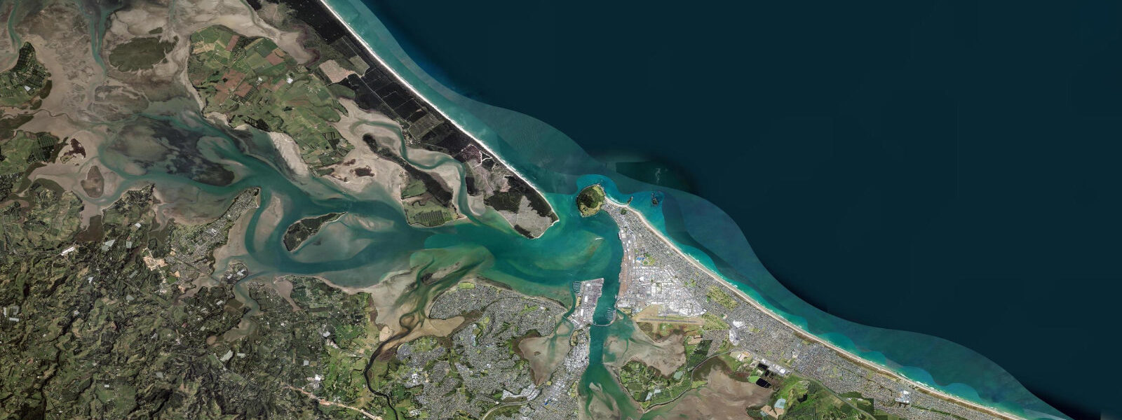
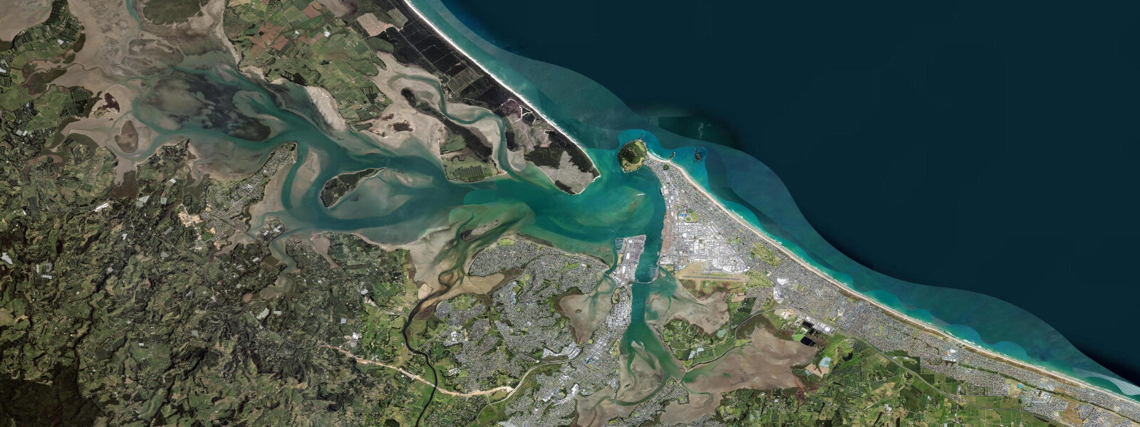
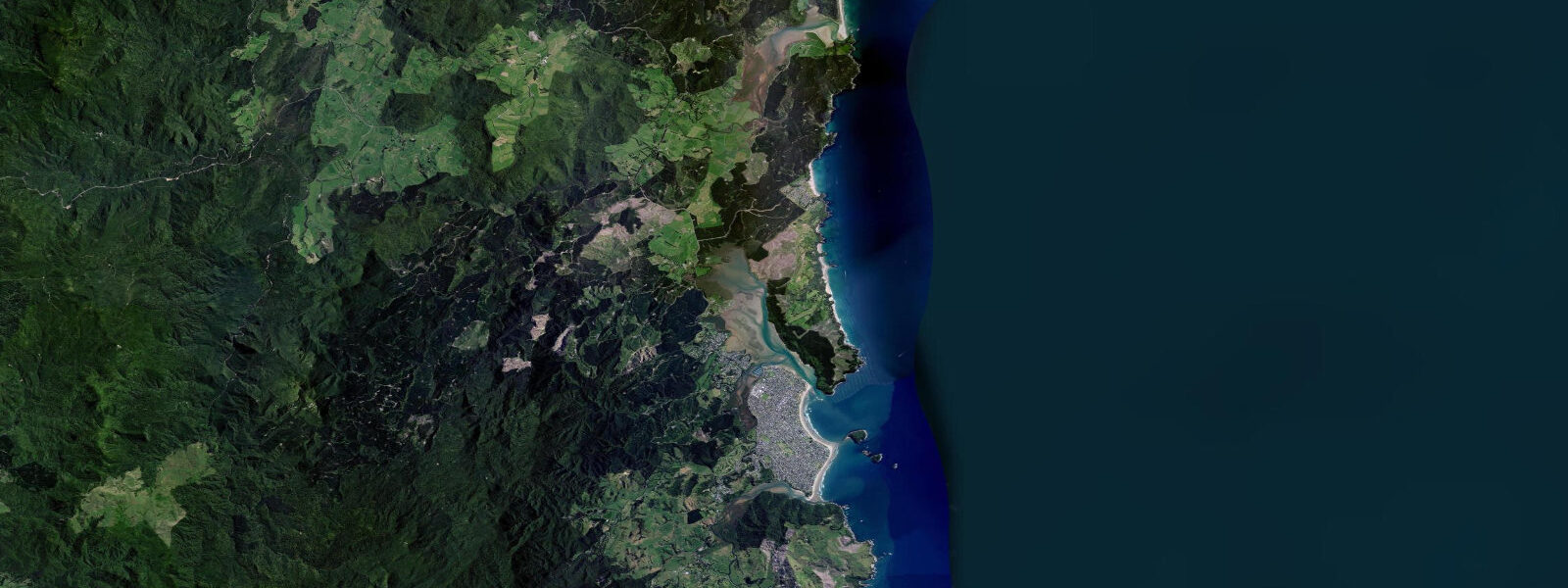
The three closest curated TideTurtle locations to Mount Maunganui, measured by great-circle distance.
Today's solunar windows
Solunar tradition: major periods are the ≈3h windows around moon transit and opposition; minor are ≈2h around moonrise and moonset. Pair with the local tide stage and wind for the best read.
Cycle dates near Mount Maunganui
Next spring tide on Sat 20 Jun (range 1.7m). Next neap on Thu 25 Jun.
Spring tides cluster around new and full moons (biggest swings). Neap tides land on quarter moons (smallest swings). See the spring tide and neap tide glossary entries for the why.
About tides at Mount Maunganui
A short guide to the coastline at Mount Maunganui — geography, sea state, and what the tide is actually doing under your feet.
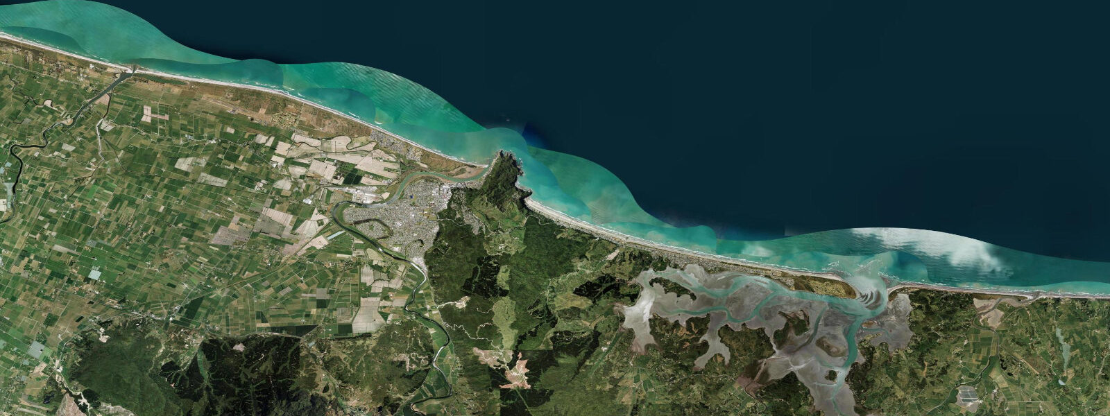
Mount Maunganui is on the eastern Bay of Plenty coast, at the mouth of Tauranga Harbour on a narrow peninsula dominated by the 232-metre volcanic lump known as the Mount (Mauao). The suburb is one of New Zealand's most popular beach destinations — a combination of consistent surf, sheltered harbour swimming, thermal pools, and the Mount summit walk. Tidal pattern is semidiurnal with a mean spring range of about 1.4 metres at the harbour entrance.
Main Beach runs 3 kilometres north from the Mount along the outer coast, facing northeast into the Pacific. It's a reliable beach break with multiple peaks that work on northeast and east swells — the Bay of Plenty's swell window. Winter northeast swells (April through September) deliver the most organised conditions. The beach is patrolled by surf lifeguards from November through April; the Mount Surf Club is one of the most active in New Zealand. Water temperature ranges 18°C in winter to 23°C in summer — a 3mm wetsuit is comfortable in winter.
Tauranga Harbour behind the Mount is the largest harbour in New Zealand by area. The harbour entrance passes between the Mount and Matakana Island; the tidal current through the narrow entrance runs 2 to 3 knots on springs. Inside the harbour, sheltered water extends for 30 kilometres. Kayaking and stand-up paddleboarding in the harbour are popular from the Pilot Bay beach on the western side of the Mount — calm, clear, and protected from the easterly wind.
The Mount summit walk takes about 45 minutes return and gives views across the Bay of Plenty, Tauranga Harbour, Mayor Island (Tuhua), and White Island (Whakaari) — the active volcanic island 50 km offshore. The circuit walk around the base of the Mount (about 3.5 km) passes rock pools and reef platforms accessible at low water for snorkelling and fish viewing. The Kaimai Surf lifeguard-patrolled beach on the south side of the Mount has calmer surf more suited to families and children.
Nearby Whakaari/White Island (50 km offshore) is an active marine volcano accessible by boat tour — the only commercially accessible active volcano in New Zealand. The 2019 eruption caused 22 deaths and has significantly changed the visitor access protocols; check current status before booking any White Island tour.
Predictions on this page come from Open-Meteo Marine, a gridded global ocean model. Accuracy is typically within plus or minus 45 minutes on timing and 0.2 to 0.3 metres on height — model-derived, not from a local gauge. For authoritative New Zealand tide data, consult Land Information New Zealand (LINZ) at linz.govt.nz.
Tide questions about Mount Maunganui
Quick answers to the most common questions about tide times, range, and water access at Mount Maunganui.
What is Main Beach like at Mount Maunganui?
Main Beach is a 3 km beach break facing northeast into the Bay of Plenty. It works best on northeast to east groundswell from the Pacific — most consistent April through September. The beach has multiple peaks across its length; the section near the Mount is popular but can be crowded. Lifeguards patrol from November through April. Wave size is typically 2 to 4 feet in moderate swell; Bay of Plenty occasionally gets 6 to 8 foot east swells after Pacific cyclone systems.
What is the tidal range at Mount Maunganui?
Mean spring tidal range at Mount Maunganui is approximately 1.4 metres. Tauranga Harbour behind the Mount has strong tidal exchange through the entrance channel (2 to 3 knots on springs) due to the large harbour volume. Pilot Bay on the harbour side of the Mount is calmer and more suitable for children's swimming and paddling; Main Beach on the ocean side has typical beach surf conditions.
Is the Mount Maunganui summit walk accessible to everyone?
The standard summit track (Mauao summit track) is a 3.4 km return walk with 232 m of elevation gain — moderately strenuous, taking 45 to 60 minutes return. The path is well-formed and manageable for fit walkers of all ages; it's not suitable for pushchairs or wheelchairs. The base track (3.5 km loop) circles the Mount at sea level with excellent rock pool and reef access at low water — this is fully accessible on good path surfaces. Both tracks are free and open 24 hours.
Is Whakaari/White Island safe to visit?
The 2019 eruption of Whakaari/White Island killed 22 people and injured many more who were on or near the island at the time of the unheralded eruption. New Zealand GNS Science monitors the volcano continuously. As of 2025, access to the island is restricted and all commercial tours must have explicit permission from the island's owners and meet specific safety requirements set by WorkSafe NZ. Check the current status with the Bay of Plenty Regional Council and confirmed tour operators before booking any White Island experience.
What thermal pools are at Mount Maunganui?
The Mount Hot Pools (Adams Avenue, at the base of the Mount) are saltwater geothermal pools fed by natural hot spring water. There are indoor and outdoor pools at varying temperatures (38 to 42°C). Open daily; small admission fee. The pools are popular after surfing — the combination of cold Pacific surf and hot pools is the standard Mount Maunganui afternoon. Book online on busy summer weekends; capacity is managed.
7-day tide table — Mount Maunganui
Heights relative to MSL. Predictions: Open-Meteo Marine (MeteoFrance SMOC, 0.08° grid) — heights relative to MSL (not chart datum / LAT). Model-derived.
| Day | Type | Time | Height |
|---|---|---|---|
| Sun 21 Jun | Low | 04:13 | -0.7m |
| High | 22:48 | 1.1m | |
| Mon 22 Jun | Low | 05:09 | -0.6m |
| High | 11:15 | 0.9m | |
| Low | 17:23 | -0.6m | |
| High | 23:41 | 1.0m | |
| Tue 23 Jun | Low | 06:03 | -0.6m |
| High | 12:10 | 0.9m | |
| Low | 18:16 | -0.5m | |
| Wed 24 Jun | High | 00:33 | 1.0m |
| Low | 06:53 | -0.5m | |
| High | 13:08 | 0.9m | |
| Low | 19:12 | -0.3m | |
| Thu 25 Jun | High | 01:26 | 1.0m |
| Low | 07:45 | -0.4m | |
| High | 14:05 | 1.0m | |
| Low | 20:10 | -0.2m | |
| Fri 26 Jun | High | 02:15 | 1.0m |
| Low | 08:38 | -0.3m | |
| High | 14:58 | 1.0m | |
| Low | 21:02 | -0.1m | |
| Sat 27 Jun | High | 03:08 | 1.0m |