Orewa, Auckland tide times
Orewa, Auckland tide forecast — heights relative to MSL.
Tide chart for Orewa, Auckland
24-hour cosine-interpolated curve around the present moment. Heights relative to MSL. Predictions: Predictions: Open-Meteo Marine (MeteoFrance SMOC, 0.08° grid).
Sun, moon and conditions on Sun 21 Jun
Snapshot at build time — refreshes daily. Sea state from Open-Meteo Marine.
Highs and lows next 7 days
Every predicted high and low for the next week, with the daily tidal coefficient (0–120; higher = bigger swing, > 95 means stronger currents).
Other spots nearby
The three closest curated TideTurtle locations to Orewa, Auckland, measured by great-circle distance.
Today's solunar windows
Solunar tradition: major periods are the ≈3h windows around moon transit and opposition; minor are ≈2h around moonrise and moonset. Pair with the local tide stage and wind for the best read.
Cycle dates near Orewa, Auckland
Next spring tide on Sat 20 Jun (range 2.4m). Next neap on Thu 25 Jun.
Spring tides cluster around new and full moons (biggest swings). Neap tides land on quarter moons (smallest swings). See the spring tide and neap tide glossary entries for the why.
About tides at Orewa, Auckland
A short guide to the coastline at Orewa, Auckland — geography, sea state, and what the tide is actually doing under your feet.
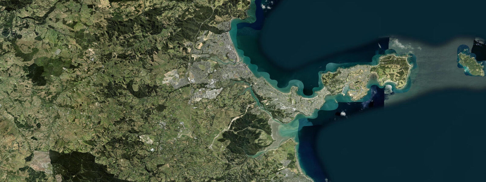
Orewa is a beach suburb on the Hibiscus Coast, 35 km north of Auckland city centre, in the Auckland Region. The Pacific Ocean tidal regime here is semidiurnal with a meaningful diurnal inequality — two highs and two lows per day, but consecutive highs often differ by 0.3–0.5 m in height, and the same is true for the two lows. Mean spring range at Orewa sits in the 2.8–3.5 m band, making tidal variation here significantly larger than most of the tropical destinations on tideturtle.com. The difference matters practically: at low spring water, a beach that is 40 m wide at high tide becomes 120–140 m wide. The tidal flat exposed at low springs is firm sand — walkable, fishable, and photographable in a way the high-water beach is not.
Orewa Beach runs 3 km from north to south. The northern end is anchored by the Orewa River estuary. The river is not large — it drains a modest suburban and rural catchment — but the estuary mouth behaves like a mini-tidal system. On the ebb, the river channel narrows through the sand flat, and the bar that forms across the mouth is exposed at low spring water. The sand bar shifts seasonally; after large rain events the river pushes new material into the estuary and reshapes the bar over a few tidal cycles. At low spring water the bar and the channel running north-south across the flat are both visible and walkable. This is the point where flounder concentrate on the ebb: they follow the draining water off the flat and hold in the channel. Kahawai work the estuary mouth from outside on the incoming tide, chasing baitfish that are pushed in by the flood current. Both species are accessible from the shore — no boat required.
The timing of the low is the most important variable for estuary fishing at Orewa. A low that falls at dawn or dusk is the prime slot: low light reduces fish wariness, and if the low coincides with a spring tide the bar is fully exposed and the channel is running hard. During summer, dawn spring lows frequently occur between 05:30 and 07:00; in winter the same configuration shifts into afternoon. Checking the predicted low against sunrise and sunset times before making the trip is basic trip planning for this location.
South of the estuary, the beach runs open for 2.5 km to the Hatfield Beach section. At high spring water the beach is narrow — perhaps 30–40 m from the dunes to the waterline. At low spring water it is 100–120 m wide, flat, and firm enough for vehicles in some sections (though the beach is not a legal drive-on beach at Orewa). The extra beach width at low tide is the practical space where beach cricket gets played, where dogs run, and where beach-tent families set up well back from the water.
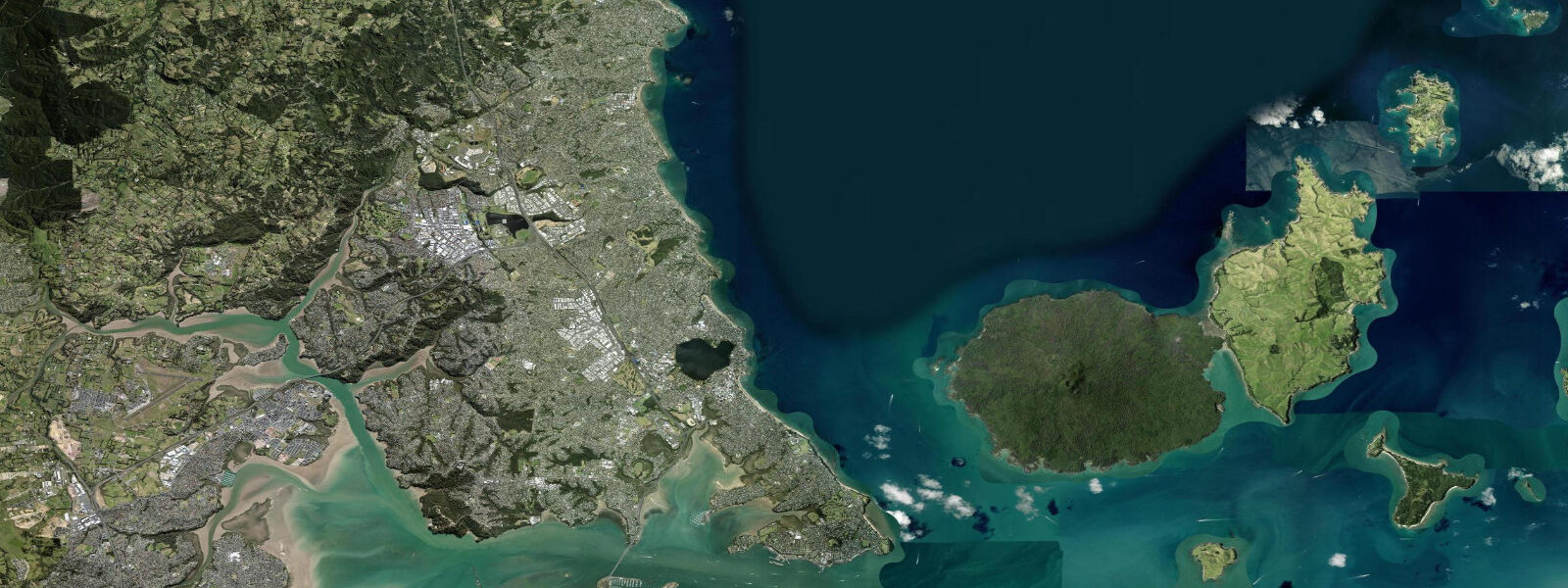
Wenderholm Regional Park is 8 km north of Orewa, where the Puhoi River meets the sea in a separate tidal estuary. The Puhoi is larger than the Orewa River and the estuary is navigable by kayak for approximately 3 km upstream on the flood tide. The flood pushes brackish water up the lower river reaches, and the paddle upstream is assisted by the flood current for the first hour or so after the tide turns. On the ebb, the return downstream is similarly assisted. The timing is straightforward: put in about 90 minutes after low water to catch the building flood, paddle upstream for an hour to an hour and a half, then return on the ebb. The park has a beach at the estuary mouth and basic facilities; the kayak trip is a common Hibiscus Coast day activity.
Waiwera thermal pools, 5 km north of Orewa, are heated by geothermal water at approximately 40°C. They are a spa complex — indoor and outdoor pools — with no tidal component. Many visitors combine a morning low-tide beach session at Orewa with an afternoon visit to Waiwera. The two are close enough to make a single day trip from Auckland practical.
For anglers, Orewa delivers flounder from the estuary flat and kahawai from the estuary mouth and open beach. For kayak paddlers, Wenderholm and the Puhoi estuary 8 km north is the destination. For families, the beach width at low spring water is the main attraction — the scale of the exposed flat is unusual for a suburban beach this close to Auckland. Photographers working the estuary at dawn spring low find a wide sand flat with the river channel cutting through it and, on clear mornings, the Orewa hills behind.
Tide data for Orewa, Auckland comes from the Open-Meteo Marine API, a gridded model product. Timing accuracy is ±45 minutes, height accuracy ±0.3 m — usable for trip planning, not for navigation.
Tide questions about Orewa, Auckland
Quick answers to the most common questions about tide times, range, and water access at Orewa, Auckland.
What is the tidal range at Orewa and how wide does the beach get at low tide?
Orewa sits on the Hibiscus Coast north of Auckland and experiences a Pacific semidiurnal tide with diurnal inequality — two highs and two lows per day, with the two consecutive highs often differing by 0.3–0.5 m. Mean spring range at Orewa is 2.8–3.5 m, which is substantial for a suburban beach. At high spring water the usable beach between dunes and waterline is roughly 30–40 m wide. At low spring water the beach widens to 100–120 m, with a firm sand flat fully exposed. The additional width is most pronounced in the sections north of the town centre. The widest beach condition occurs at low spring water, which falls at different clock times each day as the tidal cycle advances.
When is the best time to fish the Orewa River estuary?
The prime window for fishing the Orewa River estuary is the two hours either side of low water on a spring ebb, ideally at dawn or dusk. Flounder follow the draining water off the tidal flat and concentrate in the estuary channel as it narrows at low tide; they are accessible from the bar and the channel edges on a light spinning or bait rig. Kahawai work the estuary mouth from the sea side on the incoming tide, chasing baitfish pushed in by the flood current. The best combination is a spring low that falls within an hour of sunrise or sunset — low light reduces fish wariness and the stronger spring current concentrates fish. Check the tide table alongside sunrise/sunset times before planning the trip.
Can you kayak the Puhoi River estuary from Wenderholm Regional Park?
Yes. The Puhoi River estuary at Wenderholm Regional Park, 8 km north of Orewa, is navigable by kayak for approximately 3 km upstream from the estuary mouth. The practical approach is to launch about 90 minutes after low water, when the flood tide is building and the upstream current assist is strongest. Paddle upstream for 60–90 minutes, turn around, and return on the ebb current. The flood brings brackish water into the lower river reaches and the paddle upstream through the native bush-lined banks is sheltered from wind. Wenderholm has a beach at the estuary mouth and basic facilities. Kayaks can be hired in Orewa or brought on a roof rack. The trip is suitable for intermediate paddlers and above — the current is manageable but the estuary mouth can have chop on a strong ebb.
What fish species can be caught from Orewa Beach and the estuary?
The Orewa River estuary produces flounder — particularly yellowbelly flounder — on the ebb tide as they follow the draining flat back into the channel. Light bait rigs or soft plastics worked slowly along the sand-channel boundary are the standard approach. Kahawai are caught from the estuary mouth and the open beach on the incoming tide; they are a fast, aggressive species that hits surface lures and cut bait. During summer and autumn, snapper occasionally show in the surf zone on the open beach section south of the estuary, particularly on dawn tides. Mullet are present in the estuary year-round but are not a target species for most anglers. All fishing is subject to New Zealand bag limits and size regulations.
How accurate are the tide predictions for Orewa, Auckland?
Tide times and heights for Orewa come from the Open-Meteo Marine API, a global gridded ocean model. Timing accuracy for the Auckland region is approximately ±45 minutes relative to actual tidal events, and height accuracy is approximately ±0.3 m. Given Orewa's mean spring range of 2.8–3.5 m, a height error of 0.3 m represents about 8–10% of the total range — meaningful but not misleading for most planning purposes. For fishing-window and beach-access planning, the predictions are reliable enough to organise a trip around. For vessel navigation, ramp access timing, or safety-critical decisions, cross-reference with Land Information New Zealand (LINZ) official tide predictions for the Auckland port or nearest reference station.
7-day tide table — Orewa, Auckland
Heights relative to MSL. Predictions: Open-Meteo Marine (MeteoFrance SMOC, 0.08° grid) — heights relative to MSL (not chart datum / LAT). Model-derived.
| Day | Type | Time | Height |
|---|---|---|---|
| Sun 21 Jun | Low | 04:40 | -1.0m |
| High | 10:42 | 1.2m | |
| Low | 16:58 | -1.0m | |
| High | 23:12 | 1.3m | |
| Mon 22 Jun | Low | 05:32 | -0.9m |
| High | 11:40 | 1.1m | |
| Low | 17:50 | -0.9m | |
| Tue 23 Jun | High | 00:07 | 1.3m |
| Low | 06:27 | -0.8m | |
| High | 12:37 | 1.1m | |
| Low | 18:43 | -0.7m | |
| Wed 24 Jun | High | 00:58 | 1.2m |
| Low | 07:19 | -0.7m | |
| High | 13:35 | 1.1m | |
| Low | 19:40 | -0.5m | |
| Thu 25 Jun | High | 01:50 | 1.3m |
| Low | 08:12 | -0.5m | |
| High | 14:24 | 1.2m | |
| Low | 20:39 | -0.4m | |
| Fri 26 Jun | High | 02:45 | 1.2m |
| Low | 09:04 | -0.5m | |
| High | 15:23 | 1.2m | |
| Low | 21:36 | -0.3m | |
| Sat 27 Jun | High | 03:33 | 1.2m |
| Low | 10:01 | -0.5m |