Koumac tide times
Koumac tide forecast — heights relative to MSL.
Today's tide times for Koumac
Tide times at Koumac on Saturday, 27 June 2026: first high tide at 06:38pm. Sunrise 06:39am, sunset 05:32pm.
Tide chart for Koumac
24-hour cosine-interpolated curve around the present moment. Heights relative to MSL. Predictions: Predictions: Open-Meteo Marine (MeteoFrance SMOC, 0.08° grid).
Sun, moon and conditions on Sat 27 Jun
Snapshot at build time — refreshes daily. Sea state from Open-Meteo Marine.
Highs and lows next 7 days
Every predicted high and low for the next week, with the daily tidal coefficient (0–120; higher = bigger swing, > 95 means stronger currents).
Other spots nearby
The three closest curated TideTurtle locations to Koumac, measured by great-circle distance.
Today's solunar windows
Solunar tradition: major periods are the ≈3h windows around moon transit and opposition; minor are ≈2h around moonrise and moonset. Pair with the local tide stage and wind for the best read.
Cycle dates near Koumac
Next spring tide on Fri 03 Jul (range 1.1m). Next neap on Tue 30 Jun.
Spring tides cluster around new and full moons (biggest swings). Neap tides land on quarter moons (smallest swings). See the spring tide and neap tide glossary entries for the why.
About tides at Koumac
A short guide to the coastline at Koumac — geography, sea state, and what the tide is actually doing under your feet.
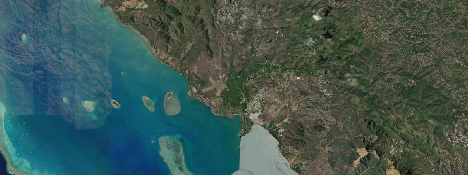
Koumac is a small town on the northwest coast of Grande Terre, New Caledonia's main island, roughly 350 km north of Nouméa by road. The northwest is the arid, mining side of Grande Terre: the mountains here are scrubby and laterite-red, the country drier than the southeast, and the economy built around nickel extraction from the ultramafic soils of the central range. The coast at Koumac faces west into the lagoon, with the barrier reef lying 20–30 km offshore and the lagoon between being some of the most productive fishing ground in the territory.
The tidal regime at Koumac is mixed semidiurnal, broadly consistent with the regional New Caledonia pattern. Spring range approximately 1.0–1.3 m above Chart Datum inside the lagoon; the barrier reef's damping effect applies here as at Nouméa, keeping lagoon tidal range 20–30% below the open-ocean signal. The key local variable at Koumac is the barrier reef pass geometry: the Passe de Koumac and Passe du Solitaire lie 20–25 km offshore and run at 2.5–3.5 knots on spring tides. Any vessel exiting the lagoon through these passes must plan the crossing for the slack-water window.
The Koumac lagoon is shallow: large sections of the inner lagoon between the shore and the reef carry depths of 3–6 m at high water, dropping to 1–3 m at low spring water. This shallowness is the defining operational characteristic for boat work here. Local fishing boats are flat-bottomed or shallow-draught aluminium tinnies that can work 1 m of water; visiting yachts and larger motor-vessels must track the tidal state carefully to avoid stranding on the sand flats that proliferate through the inner lagoon.
For anglers, the Koumac lagoon is exceptional for coral trout, spangled emperor, and trevally. The fishing strategy is straightforward: on the flooding tide, coral trout and emperor move up onto the lagoon sand flats to feed on the crabs and baitfish that the rising water activates. Work the edges of the sand flats with soft plastics in 1–3 m of water as the tide rises through 0.5–0.9 m. The bite turns off quickly when the flat is fully covered at high water and fish retreat to the channel edges. The ebb concentrates fish in the deeper channels as the flat drains: jig the channel edges in 4–8 m on the falling tide for the second feeding window of the day.
Kayakers at Koumac have access to one of the most remote and uncrowded lagoon touring environments in the Pacific. The shallow inner lagoon between Koumac and the barrier reef is navigable by sea kayak at mid-tide and above. Plan multi-day touring for the neap tide period when water levels fluctuate less and the sand-flat navigation window is wider. Spring tides expose large sections of the lagoon floor on the ebb and require careful routing around the shallows; routes that work at 0.8 m on the gauge may be impassable at 0.3 m. Carry a paper chart and GPS alongside TideTurtle's tide table — chart datum for the Koumac area is consistent with the Open-Meteo gauge reference.
For families, the main Koumac beach is a mangrove-backed sandy strip that provides calm, shallow swimming at mid-tide. The inner lagoon at Koumac is notable for its water clarity — the northwest coast receives less river runoff and agricultural sediment than the south, so visibility in the lagoon here runs 8–15 m at mid-flood. Snorkelling directly from the beach at mid-flood gives access to a sandy bottom at 2–4 m with coral patch outcrops starting 200 m from shore.
Photographers in the Koumac area find the red laterite hillsides behind the town creating a striking backdrop for the blue lagoon — a colour combination found nowhere else in New Caledonia. Low spring water exposes the inner lagoon sand flats to the west of town, which catch the orange sunset light from 17:30–18:30 in the southern winter (May–August) and create a vivid foreground for the silhouetted barrier reef profile 25 km offshore.
All tide predictions for Koumac come from the Open-Meteo Marine gridded model. Timing accuracy is ±45 minutes; height accuracy is ±0.3 m above Chart Datum.
Tide questions about Koumac
Quick answers to the most common questions about tide times, range, and water access at Koumac.
How shallow is the Koumac inner lagoon and how does it affect boat access?
Large sections of the inner Koumac lagoon carry 1–3 m at low spring water, rising to 3–6 m at high spring water. Visiting vessels with draft over 1.0 m must plan all movements for tidal gauge readings above 0.6 m and carry large-scale charts of the lagoon. Local flat-bottomed fishing tinnies work the lagoon at all tidal states. The spring tidal range of 1.0–1.3 m means the difference between a navigable channel and a stranded boat is often a matter of 30–45 minutes' wait for the tide to rise. Open-Meteo Marine predictions carry ±45 minutes timing uncertainty — double the safety buffer for inner-lagoon navigation over unmarked sand flats.
When do coral trout feed on the Koumac lagoon sand flats?
Coral trout and spangled emperor move onto the sand flats on the flooding tide, actively feeding when gauge readings rise through 0.5–0.9 m. The prime window is the two hours centred on mid-flood, as the flat comes alive with crabs and baitfish. Work the edges in 1–3 m with soft plastics or live bait. The bite diminishes when the flat is fully covered at high water. A second feeding window occurs on the ebb as the flat drains — jig the channel edges in 4–8 m from mid-ebb to low water. Spring tides give the largest flat area to fish; neap tides produce a smaller feeding zone but can concentrate fish more densely.
What is the safest way to transit the Koumac barrier reef passes?
The Passe de Koumac and Passe du Solitaire run at 2.5–3.5 knots on spring tides. Transit only within 45 minutes of slack water at the relevant high or low — Open-Meteo Marine predictions carry ±45 minutes timing uncertainty, so combine with local tide gauge data from the Port Autonome de Nouvelle-Calédonie for more precise slack timing before attempting either pass in a small vessel. Do not transit on a spring ebb with opposing southeast trade wind above 15 knots — the overfalls at the pass entrance become dangerous in those conditions regardless of predicted slack timing. Neap tides reduce pass current to 1.5–2.0 knots and give a wider safe transit window.
Is the Koumac lagoon safe for multi-day kayak touring?
Multi-day kayak touring in the Koumac lagoon is best planned for the neap tide period, when tidal fluctuation is 0.4–0.6 m rather than 1.0–1.3 m on springs. Smaller tidal range means more hours of the day with adequate depth over the sand flats and fewer navigation complications. The 20–30 km crossing from the coast to the barrier reef is a committed open-water leg — plan it for early morning before trade winds build and ensure weather windows of at least 36 hours are confirmed before departure from shore. The lagoon's remoteness (no settlement between Koumac and the reef) means self-rescue is the only option; carry full offshore safety gear, PLB, and excess water.
When does the sand flat west of Koumac catch the best sunset light for photography?
The inner lagoon sand flats west of Koumac catch warm orange sunset light from approximately 17:30–18:30 during the southern winter (May–August), when the sun sets more northerly and strikes the exposed flat at a low angle. This window only opens when the flat is exposed — gauge reading below 0.4 m above Chart Datum. The combination of low spring water and winter sunset occurs roughly four to six days per lunar cycle. Set up on the beach looking west-northwest with the red laterite hills behind you and the exposed flat in the foreground; the silhouette of the barrier reef appears on the horizon 25 km offshore. Open-Meteo Marine predictions carry ±45 minutes timing uncertainty.
8-day tide table — Koumac
Heights relative to MSL. Predictions: Open-Meteo Marine (MeteoFrance SMOC, 0.08° grid) — heights relative to MSL (not chart datum / LAT). Model-derived.
| Day | Type | Time | Height |
|---|---|---|---|
| Sat 27 Jun | High | 18:38 | 1.0m |
| Sun 28 Jun | Low | 12:10 | 0.0m |
| High | 19:15 | 1.0m | |
| Mon 29 Jun | Low | 01:07 | 0.5m |
| High | 06:07 | 0.9m | |
| Low | 12:45 | 0.0m | |
| High | 19:47 | 1.0m | |
| Tue 30 Jun | Low | 01:47 | 0.4m |
| High | 06:50 | 0.9m | |
| Low | 13:19 | 0.0m | |
| Wed 01 Jul | High | 07:23 | 0.9m |
| Low | 14:03 | 0.0m | |
| High | 21:00 | 1.1m | |
| Thu 02 Jul | Low | 03:00 | 0.4m |
| Fri 03 Jul | High | 08:43 | 0.9m |
| Low | 15:08 | 0.1m | |
| High | 22:02 | 1.1m | |
| Sat 04 Jul | Low | 04:07 | 0.4m |