Schiermonnikoog tide times
Schiermonnikoog tide forecast — heights relative to MSL.
Today's tide times for Schiermonnikoog
Tide times at Schiermonnikoog on Saturday, 27 June 2026: first low tide at 02:00, first high tide at 07:38, second low tide at 14:15, second high tide at 20:04. Sunrise 05:07, sunset 22:08.
Tide chart for Schiermonnikoog
24-hour cosine-interpolated curve around the present moment. Heights relative to MSL. Predictions: Predictions: Open-Meteo Marine (MeteoFrance SMOC, 0.08° grid).
Sun, moon and conditions on Sat 27 Jun
Snapshot at build time — refreshes daily. Sea state from Open-Meteo Marine.
Highs and lows next 7 days
Every predicted high and low for the next week, with the daily tidal coefficient (0–120; higher = bigger swing, > 95 means stronger currents).
Other spots nearby
The three closest curated TideTurtle locations to Schiermonnikoog, measured by great-circle distance.
Today's solunar windows
Solunar tradition: major periods are the ≈3h windows around moon transit and opposition; minor are ≈2h around moonrise and moonset. Pair with the local tide stage and wind for the best read.
Cycle dates near Schiermonnikoog
Next spring tide on Wed 01 Jul (range 2.3m). Last neap on Sat 27 Jun.
Spring tides cluster around new and full moons (biggest swings). Neap tides land on quarter moons (smallest swings). See the spring tide and neap tide glossary entries for the why.
About tides at Schiermonnikoog
A short guide to the coastline at Schiermonnikoog — geography, sea state, and what the tide is actually doing under your feet.
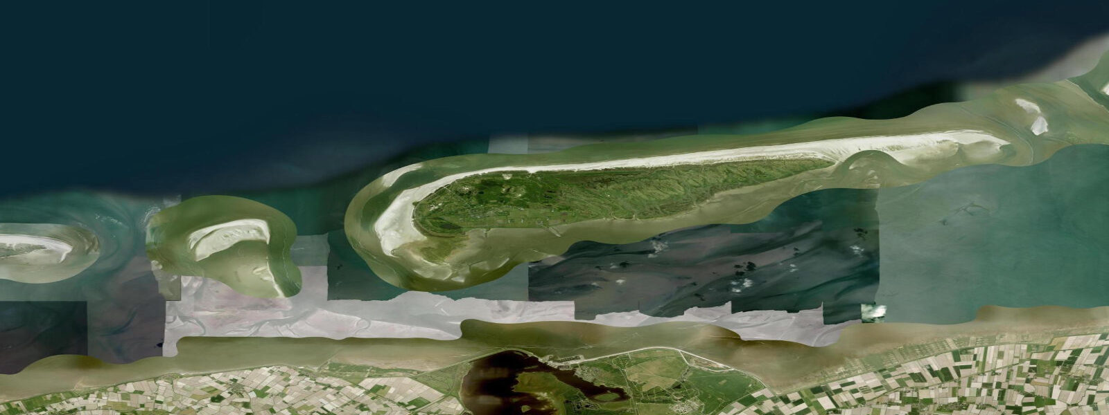
Schiermonnikoog is the easternmost of the Dutch Wadden Islands and, together with Vlieland, one of the two that prohibit private cars. It is a National Park — the only Dutch island where the designation covers the entire island including the inhabited village — and the combination of car-free transport and protected status gives it a stillness that distinguishes it from the more popular Texel and Terschelling. 2 m, the highest of the five Dutch Wadden Islands, driven by the island's position at the eastern end of the Dutch Wadden chain where the tidal wave from the North Sea has had the full width of the Wadden basin to build.
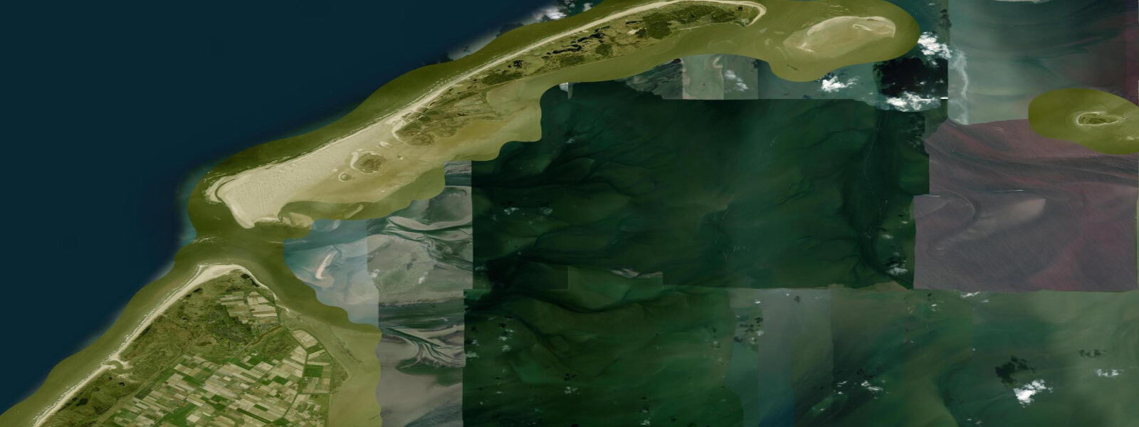
2 m spring range on the north shore is the beach width. At low spring water the beach extends 6 km wide from the dune foot to the waterline — the broadest beach anywhere in the Netherlands. From the top of the dune ridge you look north across what appears to be an ocean of flat sand, the waterline invisible on hazy days.
Photographers plan visits around the 2-3 days of big spring tides when the full 6 km is exposed: the light quality is exceptional in both morning and evening, the sand patterns intricate, and the isolation complete. Amber collectors work the north shore after late-autumn and winter storms. Amber transported from Baltic Sea deposits by long-shore drift washes up on all the Wadden Island beaches, but Schiermonnikoog's position and beach geometry make it the most productive.
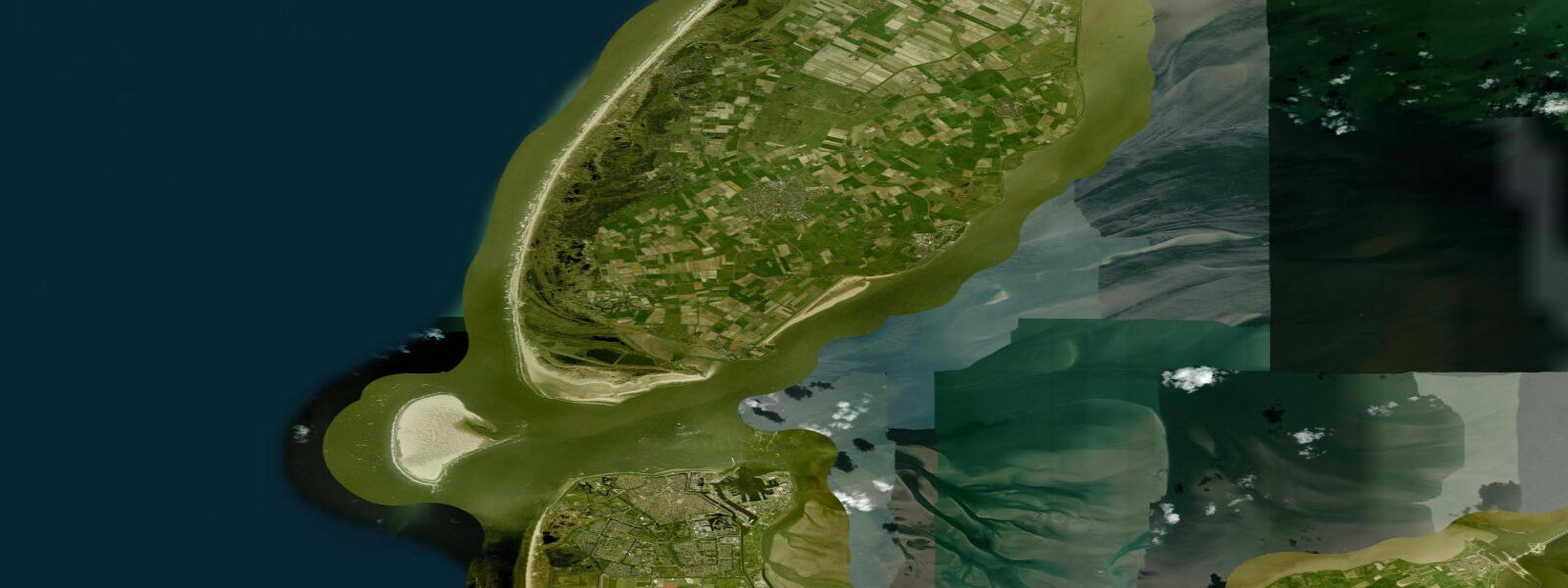
Walk the strand at low tide after a northwesterly storm and scan the strandline for resin-coloured lumps — most finds are pea to marble-sized, occasional pieces run to several centimetres. The Waddenzee side of the island is where the tidal range shows its ecological impact most clearly. At low water the flats east of the village extend for several kilometres, exposing the grey-brown mudflat habitat that underpins the food chain for the island's shorebird populations.
Hundreds of thousands of knot, dunlin, bar-tailed godwit, and oystercatcher stage on these flats during August and September migration; the spectacle of a knot flock lifting in unison as a peregrine makes a pass is one of the reliable wildlife events of the European autumn. Grey seals haul out on the outer flats beyond the eastern tip; harbour seals are distributed across the sandbanks on both sides of the island at low water. Dark-sky designation applies to the island: the absence of cars and limited road lighting means that on a clear autumn night the Milky Way is visible with the naked eye from the north beach.
The best nights are around low water on the new moon in October and November when cloud cover is less consistent but transparency is highest. Transport on the island is by bus (the single island route), bicycle, or on foot. The 12-km walk from the ferry jetty to the western end of the island follows the Waddenzee dike and gives continuous views of the tidal flat — a 3-hour commitment at walking pace timed around low tide.
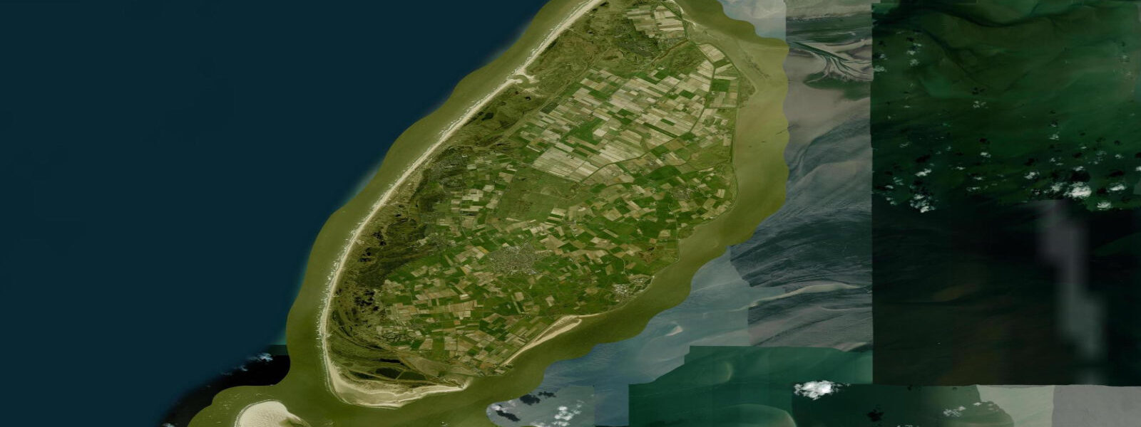
Cycling the island requires a day; the main round route is 35 km. The village is small — one main street, a handful of hotels and rental apartments, two restaurants. The island produces no food commercially other than what the sea provides: seasonal grey shrimp from the Waddenzee channels and, occasionally, mussels from licensed culture plots.
The shrimp season runs June through October and fresh-cooked shrimp are available at the village harbour stall on most mornings after the small boats return on the flood tide. 3 m on height). Not for navigation.
Tide questions about Schiermonnikoog
Quick answers to the most common questions about tide times, range, and water access at Schiermonnikoog.
What is the tidal range at Schiermonnikoog?
Spring tidal range at Schiermonnikoog reaches approximately 2.2 m — the highest of the five Dutch Wadden Islands. This is the primary reason the north-shore beach is the widest in the Netherlands: at low spring water it extends 6 km from the dune foot to the waterline. Neap range is around 1.4 m. The large range also produces extensive Waddenzee flats on the southern side, which dry for several kilometres at low water and are the feeding ground for the island's large migratory shorebird populations.
When is the north beach at its widest?
The beach reaches its full 6 km width only at spring low water — the two days centred on each new and full moon when the tidal range is at its maximum. The effect is strongest when a spring tide coincides with a persistent onshore wind that has pushed the water up for several days and is then followed by a calm. Check the tide tables for the biggest spring lows of the year, which typically fall in autumn (September and October) when the equinoctial enhancement adds extra range to the already large spring cycles.
Can I find amber on Schiermonnikoog?
Yes. Baltic amber transported by longshore drift washes up on all Dutch Wadden Island north-shore beaches, but Schiermonnikoog is generally considered the most productive for collectors due to its east-facing orientation relative to North Sea storm tracks. Walk the strandline at low tide within 24 hours of a northwest or north storm in autumn or winter. Most finds are 1–3 cm, resin-coloured, slightly translucent, and lighter than the stones around them. Spring and summer finds are smaller and less frequent — the big deposits come in winter.
What is the best time for shorebird watching at Schiermonnikoog?
August through October is peak shorebird season on the Waddenzee side. Bar-tailed godwits, knot, dunlin, and oystercatchers stage in the tens to hundreds of thousands on the flats east of the village. The best viewing window is the two hours before high water, when the rising tide concentrates birds on the last exposed ridges in front of the dike — sometimes within 20 m of the path. Bring a scope; a binocular will show the species but not the detail. The ferry jetty area and the dike path east of the village are the standard starting points.
How do I get to Schiermonnikoog and can I bring a car?
Wagenborg operates the Lauwersoog–Schiermonnikoog ferry, a 45-minute crossing. Private cars are prohibited on the island; all visitors leave vehicles at the Lauwersoog car park. From the island jetty a bus connects to the village, a 15-minute ride. Bicycles are the primary transport; rentals are available at the jetty and in the village. Ferries run two to four times daily depending on season; in summer the last sailing back is around 18:00. Book tickets in advance for July and August weekends.
8-day tide table — Schiermonnikoog
Heights relative to MSL. Predictions: Open-Meteo Marine (MeteoFrance SMOC, 0.08° grid) — heights relative to MSL (not chart datum / LAT). Model-derived.
| Day | Type | Time | Height |
|---|---|---|---|
| Sat 27 Jun | Low | 02:00 | -1.2m |
| High | 07:38 | 0.7m | |
| Low | 14:15 | -1.3m | |
| High | 20:04 | 0.6m | |
| Sun 28 Jun | Low | 02:36 | -1.3m |
| High | 08:28 | 0.8m | |
| Low | 15:01 | -1.2m | |
| High | 20:55 | 0.9m | |
| Mon 29 Jun | Low | 03:24 | -1.2m |
| High | 09:15 | 0.8m | |
| Low | 15:51 | -1.3m | |
| High | 21:38 | 0.7m | |
| Tue 30 Jun | Low | 04:07 | -1.3m |
| High | 09:55 | 0.7m | |
| Low | 16:33 | -1.6m | |
| High | 22:25 | 0.4m | |
| Wed 01 Jul | Low | 04:45 | -1.4m |
| High | 10:45 | 0.8m | |
| Low | 17:13 | -1.5m | |
| High | 23:07 | 0.5m | |
| Thu 02 Jul | Low | 05:23 | -1.4m |
| High | 11:33 | 0.8m | |
| Low | 17:53 | -1.4m | |
| High | 23:49 | 0.5m | |
| Fri 03 Jul | Low | 05:59 | -1.3m |
| High | 12:04 | 0.8m | |
| Low | 18:37 | -1.4m | |
| Sat 04 Jul | High | 01:00 | 0.2m |