Zandvoort tide times
Zandvoort tide forecast — heights relative to MSL.
Today's tide times for Zandvoort
Tide times at Zandvoort on Sunday, 21 June 2026: first high tide at 02:00, first low tide at 04:25, second high tide at 08:46, second low tide at 17:04, third high tide at 20:56. Sunrise 05:19, sunset 22:07.
Tide chart for Zandvoort
24-hour cosine-interpolated curve around the present moment. Heights relative to MSL. Predictions: Predictions: Open-Meteo Marine (MeteoFrance SMOC, 0.08° grid).
Sun, moon and conditions on Sun 21 Jun
Snapshot at build time — refreshes daily. Sea state from Open-Meteo Marine.
Highs and lows next 7 days
Every predicted high and low for the next week, with the daily tidal coefficient (0–120; higher = bigger swing, > 95 means stronger currents).
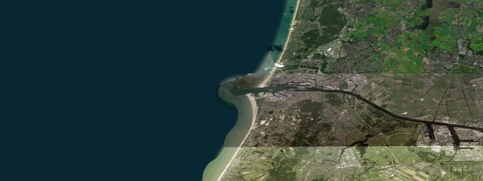
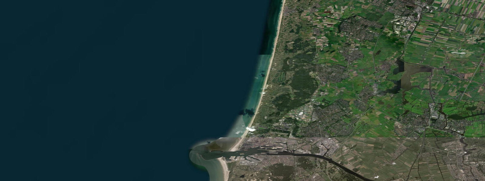
Other spots nearby
The three closest curated TideTurtle locations to Zandvoort, measured by great-circle distance.
Today's solunar windows
Solunar tradition: major periods are the ≈3h windows around moon transit and opposition; minor are ≈2h around moonrise and moonset. Pair with the local tide stage and wind for the best read.
Cycle dates near Zandvoort
Last spring tide on Sun 21 Jun (range 1.9m). Next neap on Thu 25 Jun.
Spring tides cluster around new and full moons (biggest swings). Neap tides land on quarter moons (smallest swings). See the spring tide and neap tide glossary entries for the why.
About tides at Zandvoort
A short guide to the coastline at Zandvoort — geography, sea state, and what the tide is actually doing under your feet.
Zandvoort is the main beach resort for Amsterdam, 40 kilometres to the east by road and 30 minutes on the direct intercity rail service from Amsterdam Centraal. On a summer Saturday the train fills at Central Station and empties at Zandvoort aan Zee, making it one of the busier short-haul beach rail routes in northern Europe. The beach itself is nine kilometres of gently sloping North Sea sand running north from the resort centre.
The surf zone is broad: at the lowest spring tides the beach exposes a wide flat shelf of wet sand extending tens of metres seaward of the normal waterline, and at high water the beach narrows to a smaller strip between the dune foot and the water. 2 metres — enough to make the difference between high and low water a visibly significant event, both for beach width and for the shape of the surf zone. The North Sea here is semidiurnal: two highs and two lows per day, cycling on the roughly 12-hour 25-minute lunar pattern.
The best North Sea surf conditions come during Atlantic storm swells in autumn and winter, when westerly and northwesterly groundswells cross the shallow continental shelf and refract onto the sandbar systems off the beach. Summer is calmer; the onshore afternoon sea-breeze provides consistent wind for kite activities and light chop for paddleboards. Behind the beach and immediately behind the dune line is Circuit Zandvoort — Circuit Park Zandvoort, host of the Dutch Formula One Grand Prix every August since its return to the calendar in 2021.
The circuit runs close enough to the dune face that the sound of F1 cars carries clearly onto the beach during Grand Prix weekend, typically the last weekend in August. The Kennemerduinen National Park begins at the northern end of the resort, where the commercial development gives way to protected dune heath and woodland accessible to walkers. Shore anglers after flatfish — sole, plaice, flounder — find the incoming tide from low to mid-flood the most productive window; the flood covers the sandy flat and carries food particles that draw the fish up from the lower shore.
Paddlers launching from the beach need to read the break condition carefully on swell days; the sandbar system off Zandvoort produces an unpredictable break pattern at mid-tide during moderate swell. For swimmers and families, the broad gently sloping beach is safe and lifeguarded through the summer season; the monitored zones are clearly flagged. The beach concession infrastructure at Zandvoort follows the standard Dutch beach model: strandtenten (beach pavilions built on the sand each spring and removed each autumn) provide food, drink, and sunbed rental along the beach front, with the northernmost section transitioning into the quieter, less commercial zone approaching the Kennemerduinen boundary.
The dune path into the national park from the north end of the resort is accessible without an entry fee and provides immediate contrast to the resort beach: within five minutes of walking, the density drops to nothing and the dune heath opens. nl, which carries real-time gauge data and short-range water-level predictions. KNMI's coastal meteorological forecasts provide the wave and wind context.
3 metres on height. 2 metre spring range, that uncertainty is a modest but real fraction of the total signal. For activity-critical timing — particularly for paddlers and anglers working the tidal change — cross-reference with the Rijkswaterstaat IJmuiden or Zandvoort gauge.
Tide questions about Zandvoort
Quick answers to the most common questions about tide times, range, and water access at Zandvoort.
When is high tide at Zandvoort today?
The hero block at the top of this page shows the next predicted high at Zandvoort in local Central European Time (CET/CEST, UTC+1/UTC+2). The semidiurnal pattern runs roughly 12 hours 25 minutes, so if high tide is at 08:00, the next high is around 20:25, and the lows fall approximately six hours twelve minutes either side. Mean spring range is 1.8 to 2.2 metres — enough to change the beach width and surf zone character noticeably through the day. For the most accurate timing, cross-reference with the Rijkswaterstaat gauge at IJmuiden (waterinfo.rws.nl), 15 km to the south.
What is the tidal range at Zandvoort?
Mean spring tidal range is approximately 1.8 to 2.2 metres — a moderate North Sea range, somewhat smaller than the outer Dutch coast at Den Helder (around 2.0 m spring) and comparable to the Belgian coast further south. Neap tides around quarter moons compress the range to roughly 1.0 to 1.3 metres. The difference between high and low water is visually obvious: the beach narrows substantially at high water and exposes a wide wet-sand flat at low. The spring ebb at Zandvoort runs for around six hours; the flood runs slightly faster.
When is the best time for North Sea surfing at Zandvoort?
Autumn and winter are the productive surf seasons — October through January — when Atlantic low-pressure systems generate westerly and northwesterly groundswells that cross the shallow North Sea shelf and break on the Zandvoort sandbar system. The mid-tide window (two to three hours either side of low water) typically produces the most consistent break as the bars are covered but not drowned by depth. Summer provides occasional smaller swell from North Sea lows and consistent sea-breeze wind for kite activities, but the deep-water summer North Sea rarely produces organised surf. No surf is life-guarded outside the designated beach zones.
Where do these predictions come from?
Open-Meteo Marine, a gridded global ocean model; accuracy is typically plus or minus 45 minutes on timing and 0.2 to 0.3 metres on height. For the most accurate Zandvoort tidal data, Rijkswaterstaat publishes gauge-based water-level observations and short-range forecasts at waterinfo.rws.nl — the IJmuiden gauge (15 km south) and the Petten gauge (30 km north) bracket the Zandvoort stretch and are updated in near real time. Rijkswaterstaat's data is authoritative for the Dutch coastal waterway network; the organisation also publishes storm-surge warnings for North Sea coast events in coordination with KNMI.
Is this page safe to use for navigation?
No. The North Sea approaches off Zandvoort and the IJmuiden harbour entrance carry commercial shipping, North Sea Ferry traffic, and offshore supply vessel movements; they require standard chart navigation and up-to-date Notices to Mariners. Use the Dutch Hydrographic Service charts (Dienst der Hydrografie, Netherlands Ministry of Defence) or the equivalent international North Sea charts, together with Rijkswaterstaat's real-time water-level data. The IJmuiden harbour entrance and the offshore TSS (traffic separation scheme) lanes require correct chart navigation. Open-Meteo Marine gridded predictions are not gauge-calibrated and are not authoritative for any vessel operation.
8-day tide table — Zandvoort
Heights relative to MSL. Predictions: Open-Meteo Marine (MeteoFrance SMOC, 0.08° grid) — heights relative to MSL (not chart datum / LAT). Model-derived.
| Day | Type | Time | Height |
|---|---|---|---|
| Sun 21 Jun | High | 02:00 | -0.9m |
| Low | 04:25 | -1.3m | |
| High | 08:46 | 0.6m | |
| Low | 17:04 | -1.1m | |
| High | 20:56 | 0.2m | |
| Mon 22 Jun | Low | 05:00 | -1.5m |
| High | 10:19 | 0.4m | |
| Low | 17:53 | -1.2m | |
| High | 22:03 | -0.0m | |
| Tue 23 Jun | Low | 05:36 | -1.4m |
| High | 11:46 | 0.5m | |
| Low | 18:38 | -1.1m | |
| Wed 24 Jun | High | 00:18 | 0.2m |
| Low | 06:15 | -1.0m | |
| High | 12:50 | 0.8m | |
| Low | 19:48 | -0.9m | |
| Thu 25 Jun | High | 01:07 | 0.3m |
| Low | 07:45 | -1.2m | |
| High | 13:42 | 0.4m | |
| Low | 20:43 | -1.2m | |
| Fri 26 Jun | High | 02:06 | 0.3m |
| Low | 09:06 | -1.2m | |
| High | 14:38 | 0.4m | |
| Low | 21:41 | -1.1m | |
| Sat 27 Jun | High | 02:55 | 0.5m |
| Low | 07:24 | -0.9m | |
| Low | 10:01 | -1.0m | |
| High | 15:23 | 0.6m | |
| Low | 19:27 | -0.7m | |
| High | 19:40 | -0.6m | |
| Low | 22:41 | -0.9m | |
| Sun 28 Jun | High | 01:00 | -0.1m |