Walvis Bay tide times
Walvis Bay tide forecast — heights relative to MSL.
Today's tide times for Walvis Bay
Tide times at Walvis Bay on Saturday, 27 June 2026: first high tide at 02:00am, first low tide at 07:22am, second high tide at 02:02pm, second low tide at 07:50pm. Sunrise 07:43am, sunset 06:26pm.
Tide chart for Walvis Bay
24-hour cosine-interpolated curve around the present moment. Heights relative to MSL. Predictions: Predictions: Open-Meteo Marine (MeteoFrance SMOC, 0.08° grid).
Sun, moon and conditions on Sat 27 Jun
Snapshot at build time — refreshes daily. Sea state from Open-Meteo Marine.
Highs and lows next 7 days
Every predicted high and low for the next week, with the daily tidal coefficient (0–120; higher = bigger swing, > 95 means stronger currents).
Other spots nearby
The three closest curated TideTurtle locations to Walvis Bay, measured by great-circle distance.

Today's solunar windows
Solunar tradition: major periods are the ≈3h windows around moon transit and opposition; minor are ≈2h around moonrise and moonset. Pair with the local tide stage and wind for the best read.
Cycle dates near Walvis Bay
Next spring tide on Wed 01 Jul (range 1.2m). Last neap on Sat 27 Jun. Next neap on Fri 03 Jul.
Spring tides cluster around new and full moons (biggest swings). Neap tides land on quarter moons (smallest swings). See the spring tide and neap tide glossary entries for the why.
About tides at Walvis Bay
A short guide to the coastline at Walvis Bay — geography, sea state, and what the tide is actually doing under your feet.
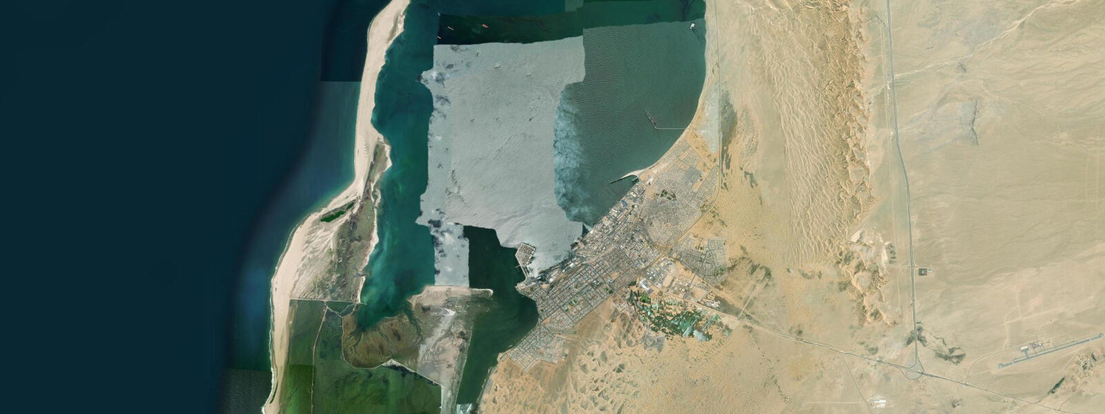
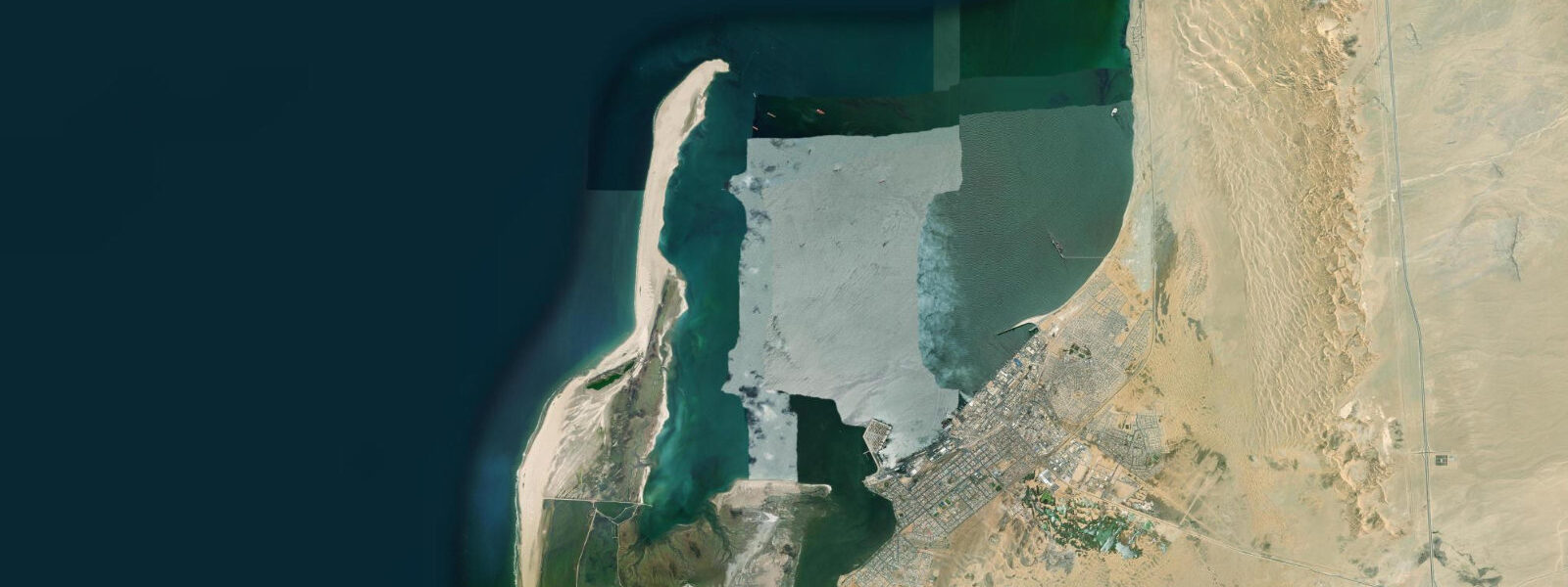
Walvis Bay is Namibia's main deep-water port and commercial hub, set at the southern end of a large, sheltered lagoon on the central Namibian coast. The lagoon, protected from the South Atlantic by the Pelican Point spit — a 10 km sandspit curving northward from the mainland — is one of the most biologically productive coastal wetlands in southern Africa. Up to 50,000 flamingos feed on the tidal flats here: greater flamingos (Phoenicopterus roseus) in the shallower lagoon margins and lesser flamingos (Phoenicopterus minor) in the deeper open-water sections, with the two species dividing the habitat by feeding strategy. The flamingo population peaks in summer (October through March) when the tidal flat algal growth is at maximum.
The tidal regime at Walvis Bay is semidiurnal with a spring range of approximately 1.6 m. The lagoon's semi-enclosed geometry produces a tidal cycle that amplifies slightly relative to the open coast: the tidal flats exposed at spring low water extend over an area of several square kilometres, uncovering the shallow diatomite substrate that supports the algae and crustaceans the flamingos feed on. At spring low water, the water-covered area of the lagoon is perhaps 60% of its high-water extent; the exposed tidal flats are accessible on foot from the southern lagoon shore for visitors who want to observe flamingos at close range. At high water, the flats are covered and the flamingos feed in water 0.3–0.6 m deep, which is less productive for them.
The Benguela fog defines the daily experience at Walvis Bay. Cold Benguela Current water (sea surface temperature 12–16°C) chills the maritime air below its dew point most nights, producing a dense coastal fog that reduces visibility to near zero by dawn. The fog burns off as the sun heats the land surface, typically clearing by 10:00–11:00 in summer and sometimes not clearing until 13:00 in the cooler months (June through August). Visitors expecting clear Atlantic mornings will find Walvis Bay operates in a half-blind state most mornings — the flamingo lagoon in the fog, with the silhouettes of the birds and the hiss of the water audible before anything is visible, is an atmospheric experience without parallel.
Oyster farming operates commercially in the sheltered northern section of the lagoon, where the upwelling-cold, nutrient-rich water produces unusually fast oyster growth — Pacific oysters (Crassostrea gigas) reach market size in 12–18 months here, compared to 3–4 years in colder European waters. The oyster pontoons are visible from the lagoon road; tasting facilities operate on the waterfront. Guided boat tours of the oyster farms depart from the Waterfront area and include the option to pull oysters from the water.
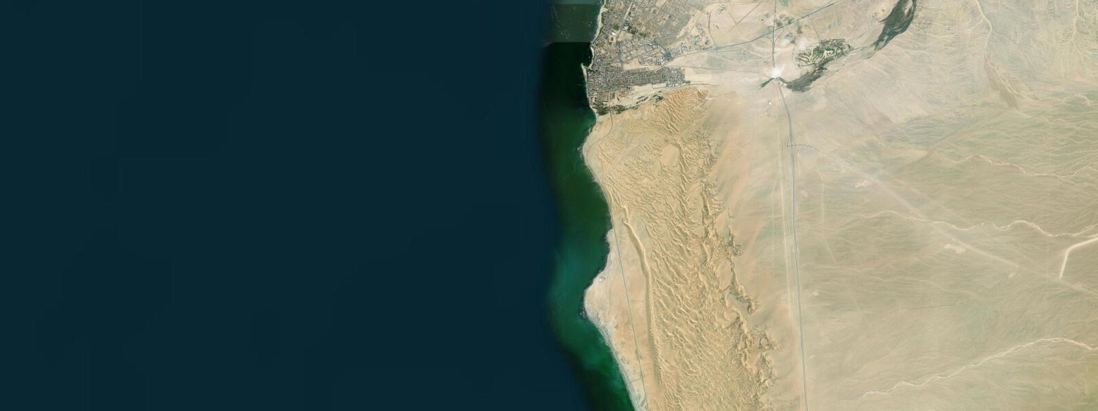
The Pelican Point lighthouse at the tip of the spit is a significant surf fishing location. The spit's orientation creates a rip current on the outgoing tide where the lagoon drains into the open Atlantic: this current concentrates kob (kabeljou, Argyrosomus coronus), steenbras, and galjoen along the spit's Atlantic face. The Pelican Point area is accessible by 4WD on the sand road from the main Walvis Bay road; high-clearance vehicles are needed when the track is wet. Fishing is best in the 2–3 hours around spring low water when the current is strongest and fish congregate at the drainage point.
For paddlers, the lagoon provides calm, wind-sheltered water on most days — the Pelican Point spit blocks swell and the lagoon geometry reduces wind chop. Kayak tours to the colony of Cape fur seals that hauls out at Pelican Point (approximately 3,000 animals) run from the Waterfront area; the round trip is 12–14 km on flat water. The seals are present year-round. The fog means that morning departures (before 10:00) often paddle in reduced visibility; afternoon departures (12:00 or later) get clear conditions but stronger afternoon south-southwest wind.
The commercial port, separate from the lagoon, handles Namibia's fish export, container cargo, and the periodic supply vessels for the offshore diamond-mining operations. The port is industrial and not open to casual visitors, but the presence of large fishing vessels in the approach channel and the fish meal processing plants adjacent to the port are part of the working character of Walvis Bay that distinguishes it from the pure-tourism character of Swakopmund to the north.
All tide predictions for Walvis Bay come from the Open-Meteo Marine gridded model. Timing accuracy is ±45 minutes; height accuracy is ±0.3 m above Chart Datum.
Tide questions about Walvis Bay
Quick answers to the most common questions about tide times, range, and water access at Walvis Bay.
When is the best time to see flamingos at Walvis Bay lagoon?
Flamingo numbers in the Walvis Bay lagoon peak from October through March when tidal flat algal growth is at maximum. The best observation conditions are at spring low water (check the tide table), when the tidal flats expose and flamingos concentrate on the exposed diatomite substrate within walking distance of the southern lagoon shore. The Benguela fog clears by 10:00–11:00 on most days; the combination of clear air and low water in the late morning is the optimal window. Greater and lesser flamingos share the lagoon, distinguishable by size and feeding posture.
What is the Benguela fog and how does it affect visits to Walvis Bay?
The Benguela Current flows northward along the Namibian coast at 12–16°C — cold enough to chill the maritime air below its dew point most nights. The resulting fog forms overnight and reaches maximum density at dawn, reducing visibility to near zero on most mornings. It burns off as the land heats, typically by 10:00–11:00 in summer, later in winter (June–August). Plan morning boat tours for 09:00 or later to avoid the densest fog. The fog is a defining characteristic of the coast, not a seasonal aberration — it is present in some form for 200+ days per year.
What fish species can anglers catch at Pelican Point?
The Pelican Point spit creates a tidal outflow rip on the ebb, concentrating kob (kabeljou), steenbras, and galjoen along the Atlantic face of the spit. The 2–3 hours around spring low water — when the ebb current is strongest and the rip most developed — is the most productive fishing window. Pelican Point is accessible by 4WD on the sand track from Walvis Bay; a high-clearance vehicle is needed when the track is wet. Rods capable of casting 80–100 m into the surf are standard; pilchards and cut bait are the primary baits. The seal colony at the point tip is substantial; losing hooked fish to seals is a routine occurrence.
Is it possible to kayak to the Pelican Point seal colony?
Kayak tours to the Pelican Point Cape fur seal colony (approximately 3,000 animals) run regularly from the Walvis Bay Waterfront, covering 12–14 km return on the lagoon's sheltered flat water. The seals haul out on the sand at the point year-round. Morning departures often paddle in Benguela fog; afternoon departures after 12:00 get clear conditions but face stronger south-southwest winds. Tour operators on the Waterfront run guided trips; paddling independently requires knowledge of the lagoon's tidal channels, which can shoal at low water on the route from the town.
Where are the oyster tasting facilities at Walvis Bay?
Commercial oyster farming operates on pontoons in the northern, sheltered section of the lagoon. Multiple operators run boat tours that include pulling oysters from the water and tasting on board; these depart from the Walvis Bay Waterfront. Waterfront-side tasting stalls and the Raft restaurant on the waterfront serve Walvis Bay oysters directly. The Benguela upwelling water produces unusually fast-growing, clean-tasting oysters — the cold, clear water is the defining quality factor. Best served with lemon; the local preference is a touch of Tabasco and local chilli sauce.
8-day tide table — Walvis Bay
Heights relative to MSL. Predictions: Open-Meteo Marine (MeteoFrance SMOC, 0.08° grid) — heights relative to MSL (not chart datum / LAT). Model-derived.
| Day | Type | Time | Height |
|---|---|---|---|
| Sat 27 Jun | High | 02:00 | 0.0m |
| Low | 07:22 | -0.8m | |
| High | 14:02 | 0.1m | |
| Low | 19:50 | -0.7m | |
| Sun 28 Jun | High | 02:05 | 0.1m |
| Low | 07:57 | -0.9m | |
| High | 14:38 | 0.2m | |
| Low | 20:24 | -0.8m | |
| Mon 29 Jun | High | 15:06 | 0.2m |
| Low | 20:57 | -0.9m | |
| Tue 30 Jun | High | 03:15 | 0.1m |
| Low | 09:05 | -0.9m | |
| High | 15:38 | 0.2m | |
| Wed 01 Jul | Low | 09:35 | -0.9m |
| High | 16:06 | 0.2m | |
| Low | 22:10 | -0.9m | |
| Thu 02 Jul | High | 04:16 | 0.1m |
| Low | 10:06 | -1.0m | |
| High | 16:35 | 0.2m | |
| Low | 22:40 | -0.9m | |
| Fri 03 Jul | High | 04:53 | 0.0m |
| Low | 10:39 | -0.9m | |
| High | 17:08 | 0.2m | |
| Low | 23:17 | -0.9m | |
| Sat 04 Jul | High | 01:00 | -0.7m |