
Lüderitz tide times
Lüderitz tide forecast — heights relative to MSL.
Today's tide times for Lüderitz
Tide times at Lüderitz on Saturday, 27 June 2026: first high tide at 02:00am, first low tide at 07:18am, second high tide at 01:45pm, second low tide at 07:36pm. Sunrise 07:48am, sunset 06:16pm.
Tide chart for Lüderitz
24-hour cosine-interpolated curve around the present moment. Heights relative to MSL. Predictions: Predictions: Open-Meteo Marine (MeteoFrance SMOC, 0.08° grid).
Sun, moon and conditions on Sat 27 Jun
Snapshot at build time — refreshes daily. Sea state from Open-Meteo Marine.
Highs and lows next 7 days
Every predicted high and low for the next week, with the daily tidal coefficient (0–120; higher = bigger swing, > 95 means stronger currents).
Other spots nearby
The three closest curated TideTurtle locations to Lüderitz, measured by great-circle distance.
Today's solunar windows
Solunar tradition: major periods are the ≈3h windows around moon transit and opposition; minor are ≈2h around moonrise and moonset. Pair with the local tide stage and wind for the best read.
Cycle dates near Lüderitz
Next spring tide on Wed 01 Jul (range 1.2m). Last neap on Sat 27 Jun. Next neap on Fri 03 Jul.
Spring tides cluster around new and full moons (biggest swings). Neap tides land on quarter moons (smallest swings). See the spring tide and neap tide glossary entries for the why.
About tides at Lüderitz
A short guide to the coastline at Lüderitz — geography, sea state, and what the tide is actually doing under your feet.
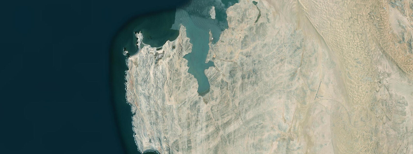
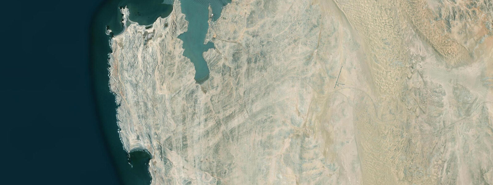
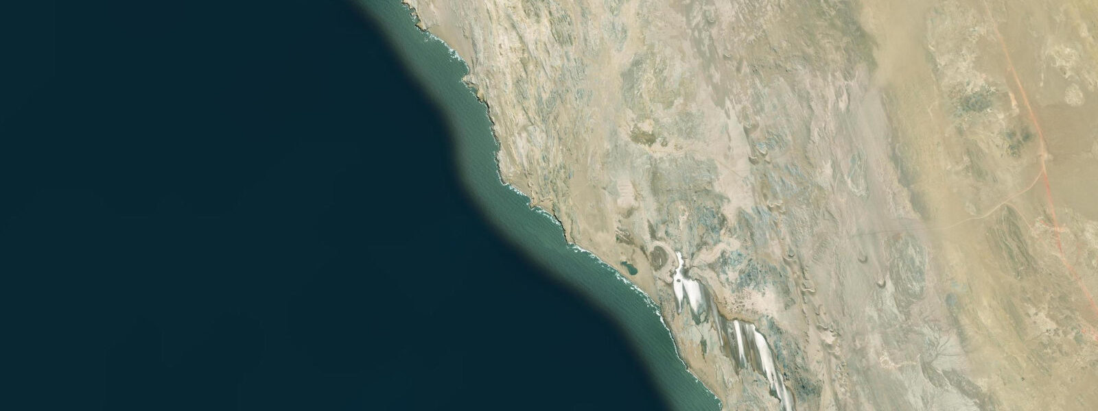
Lüderitz is the most isolated town on the Namibian coast, 450 km south of Swakopmund by road across the Namib Desert, inside the northern boundary of the Sperrgebiet — the forbidden diamond zone established by the German colonial administration in 1908 and maintained under Namibian sovereignty, sealing off 26,000 km² of desert and coast from the public to protect alluvial diamond deposits. The town sits in a small, deeply sheltered bay cut into the rocky coastline, with the harbour protected from the South Atlantic by a granite headland and a scatter of offshore islands that take the brunt of the Southern Ocean swell.
The tidal regime at Lüderitz is semidiurnal with a spring range of approximately 1.6 m — consistent with the Namibian coast to the north. At spring low water, the rocky intertidal zone around the harbour and along the headlands exposes 1.4–1.6 m of vertical rock surface, covering substantial areas of the granite shelf. The mussel, limpet, and chiton communities on this zone are the dietary base for the African penguins (Spheniscus demersus) that nest on Halifax Island, 800 m offshore. Halifax Island's position — just far enough offshore to be safe from terrestrial predators — combined with the nutrient richness of the Benguela upwelling, makes it one of the most secure African penguin colonies on the Namibian coast, with approximately 2,000 breeding pairs.
The Benguela fog is fully operational at Lüderitz: cold Benguela Current water at 10–14°C (slightly colder than Swakopmund and Walvis Bay due to the stronger upwelling at this latitude) creates fog on most mornings from May through November, with the winter months being the densest. The southern position at 26.6°S means the winter fog season is both longer and denser than further north. Boat tours to Halifax Island for penguin viewing depart from the Lüderitz harbour — the morning fog clears by 10:00–11:00 on most days, and the standard departure for penguin tours is 10:30 or later.
Halifax Island penguin colony access is by boat only — the island has no public landing; the tour boats circle the island at close range while penguins swim alongside, stand on the rocks, and call from the colony. The best viewing is at mid-tide: at spring low water, the penguins are on the exposed rock surfaces at the waterline and visible at eye level from the boat; at high water they move higher on the island and the swell against the base of the rocks makes close approach more difficult. Spring tide visits timed for mid-tide on the ebb give the most visible colony activity.
The ghost town of Kolmanskop, 10 km east of Lüderitz, was a diamond-mining settlement that peaked in 1912–1914 and was abandoned in the 1950s when the accessible diamonds ran out. Sand has filled the interiors of most buildings to window-sill height, and the juxtaposition of German colonial architecture — ballroom, hospital, bowling alley — with advancing dunes is one of the most photographed urban decay subjects in Africa. Photography tours run in the early morning when light enters east-facing windows. The standard itinerary is Kolmanskop at dawn (06:00–08:00), then penguins at 10:30 after the fog lifts.
Anglers find Lüderitz uniquely productive: the strong Benguela upwelling supports dense concentrations of kob, geelbek (Cape yellowtail), and steenbras within surf-casting range of the rocky headlands outside the harbour. The ebb is the productive window at exposed headlands; the flood is better inside the bay, where kob move inshore with the rising water. Wind matters more than tide here — the persistent southerly and southwesterly winds reach 30–40 knots in winter, making exposed headland fishing impractical on many days regardless of tidal phase.
Kayakers exploring the Lüderitz bay and its offshore islands face cold water (10–14°C requires a 5 mm wetsuit minimum), persistent swell from the south, and the navigational complexity of the island scatter around the harbour. The reward is access to seal haul-outs, penguin encounters, and the geology of the Namibian coast at close range. The bay interior is calm enough for most skill levels; the outer islands and the Atlantic-facing headlands require experience and proper equipment.
All tide predictions for Lüderitz come from the Open-Meteo Marine gridded model. Timing accuracy is ±45 minutes; height accuracy is ±0.3 m above Chart Datum.
Tide questions about Lüderitz
Quick answers to the most common questions about tide times, range, and water access at Lüderitz.
What is the tidal range at Lüderitz and how does it affect penguin viewing at Halifax Island?
Lüderitz has a spring tidal range of approximately 1.6 m. The best penguin viewing at Halifax Island is at mid-tide on the ebb: as the tide drops, penguins move down to the exposed rock surfaces near the waterline and are visible at eye level from tour boats. At spring low water they concentrate lower on the rock and the receding surf is calmer. At high water the penguins sit higher on the island and the swell breaking against the base of the rocks makes close-approach by tour boats more difficult. Check the tide table before booking a Halifax Island tour and aim for the mid-ebb window.
What is the Sperrgebiet and does it affect access to the coast around Lüderitz?
The Sperrgebiet (German: forbidden zone) is a 26,000 km² coastal and desert area south of Lüderitz that remains restricted to protect alluvial diamond deposits. Established in 1908 under German colonial rule and maintained by Namibia's NAMDEB diamond company, it seals off the coastal zone south and east of Lüderitz. Access to the restricted zone requires a permit from NAMDEB; guided diamond-history tours to the ghost town of Bogenfels (a dramatic sea arch within the Sperrgebiet) are occasionally available. The Lüderitz town itself and the road north to the B4 highway are outside the Sperrgebiet and freely accessible.
What is Kolmanskop and is it worth visiting alongside the penguin tour?
Kolmanskop is a ghost town 10 km east of Lüderitz, a German diamond-mining settlement abandoned in the 1950s that the Namib Desert has reclaimed. Sand fills most buildings to window-height; the ballroom, hospital, and domestic houses are all accessible and spectacularly photogenic. Entry is ticketed and managed; photography light is best from 06:00–08:00 when sun enters east-facing windows and creates shadow patterns in the sand-filled rooms. The standard day itinerary is Kolmanskop at dawn, then Lüderitz harbour for the penguin tour after the fog clears (around 10:30). The two sites together make a full Lüderitz day.
How cold is the water at Lüderitz and what wetsuit thickness is needed for kayaking?
Sea surface temperatures at Lüderitz run 10–14°C year-round due to the strong Benguela upwelling at 26°S. A 5 mm full wetsuit is the minimum for any water activity; a 5/4 mm suit or drysuit is appropriate for extended kayaking or diving. Immersion in 10°C water without thermal protection leads to incapacitation within minutes — this is not an environment for wetsuits rated for warmer climates. The cold water is the consequence of the Benguela upwelling that drives the extraordinary marine productivity here: the same upwelling that makes the water cold is what sustains the penguin colonies and the fish populations.
Where do anglers fish around Lüderitz?
Shore fishing targets the rocky headlands outside the harbour bay for kob, geelbek (Cape yellowtail), and steenbras on the ebb tide. Inside the sheltered bay, the flooding tide is more productive as kob move inshore with the rising water. The most significant variable for Lüderitz shore fishing is wind — the persistent southerly and southwesterly winds at this latitude reach 30–40 knots in winter, making exposed headland fishing impractical regardless of tidal phase. Fish when the wind is below 20 knots; check the wind forecast alongside the tide table. The Benguela upwelling at this latitude makes the fish available in unusually dense concentrations when conditions allow.
8-day tide table — Lüderitz
Heights relative to MSL. Predictions: Open-Meteo Marine (MeteoFrance SMOC, 0.08° grid) — heights relative to MSL (not chart datum / LAT). Model-derived.
| Day | Type | Time | Height |
|---|---|---|---|
| Sat 27 Jun | High | 02:00 | 0.0m |
| Low | 07:18 | -0.8m | |
| High | 13:45 | 0.1m | |
| Low | 19:36 | -0.7m | |
| Sun 28 Jun | High | 01:45 | 0.1m |
| Low | 07:53 | -0.9m | |
| High | 14:20 | 0.2m | |
| Low | 20:15 | -0.8m | |
| Mon 29 Jun | High | 02:20 | 0.1m |
| Low | 08:25 | -0.9m | |
| High | 14:47 | 0.2m | |
| Low | 20:50 | -0.9m | |
| Tue 30 Jun | High | 02:55 | 0.1m |
| Low | 09:00 | -1.0m | |
| High | 15:21 | 0.1m | |
| Wed 01 Jul | Low | 09:26 | -1.0m |
| High | 15:51 | 0.1m | |
| Low | 21:57 | -0.9m | |
| Thu 02 Jul | High | 04:02 | 0.0m |
| Low | 10:02 | -1.0m | |
| High | 16:22 | 0.1m | |
| Low | 22:34 | -1.0m | |
| Fri 03 Jul | High | 17:00 | 0.1m |
| Low | 23:08 | -0.9m | |
| Sat 04 Jul | High | 01:00 | -0.7m |