Lüderitz tide times
Lüderitz tide forecast — heights relative to MSL.
Today's tide times for Lüderitz
Tide times at Lüderitz on Saturday, 4 July 2026: first low tide at 02:00am, first high tide at 05:14am, second low tide at 11:10am, second high tide at 05:34pm, third low tide at 11:53pm. Sunrise 07:48am, sunset 06:18pm.
Tide chart for Lüderitz
24-hour cosine-interpolated curve around the present moment. Heights relative to MSL. Predictions: Predictions: Open-Meteo Marine (MeteoFrance SMOC, 0.08° grid).
Sun, moon and conditions on Sat 04 Jul
Snapshot at build time — refreshes daily. Sea state from Open-Meteo Marine.
Highs and lows next 7 days
Every predicted high and low for the next week, with the daily tidal coefficient (0–120; higher = bigger swing, > 95 means stronger currents).
Other spots nearby
The three closest curated TideTurtle locations to Lüderitz, measured by great-circle distance.

Today's solunar windows
Solunar tradition: major periods are the ≈3h windows around moon transit and opposition; minor are ≈2h around moonrise and moonset. Pair with the local tide stage and wind for the best read.
Cycle dates near Lüderitz
Last spring tide on Sat 04 Jul (range 1.1m). Next spring tide on Fri 10 Jul (range 0.9m). Next neap on Wed 08 Jul.
Spring tides cluster around new and full moons (biggest swings). Neap tides land on quarter moons (smallest swings). See the spring tide and neap tide glossary entries for the why.
About tides at Lüderitz
A short guide to the coastline at Lüderitz — geography, sea state, and what the tide is actually doing under your feet.
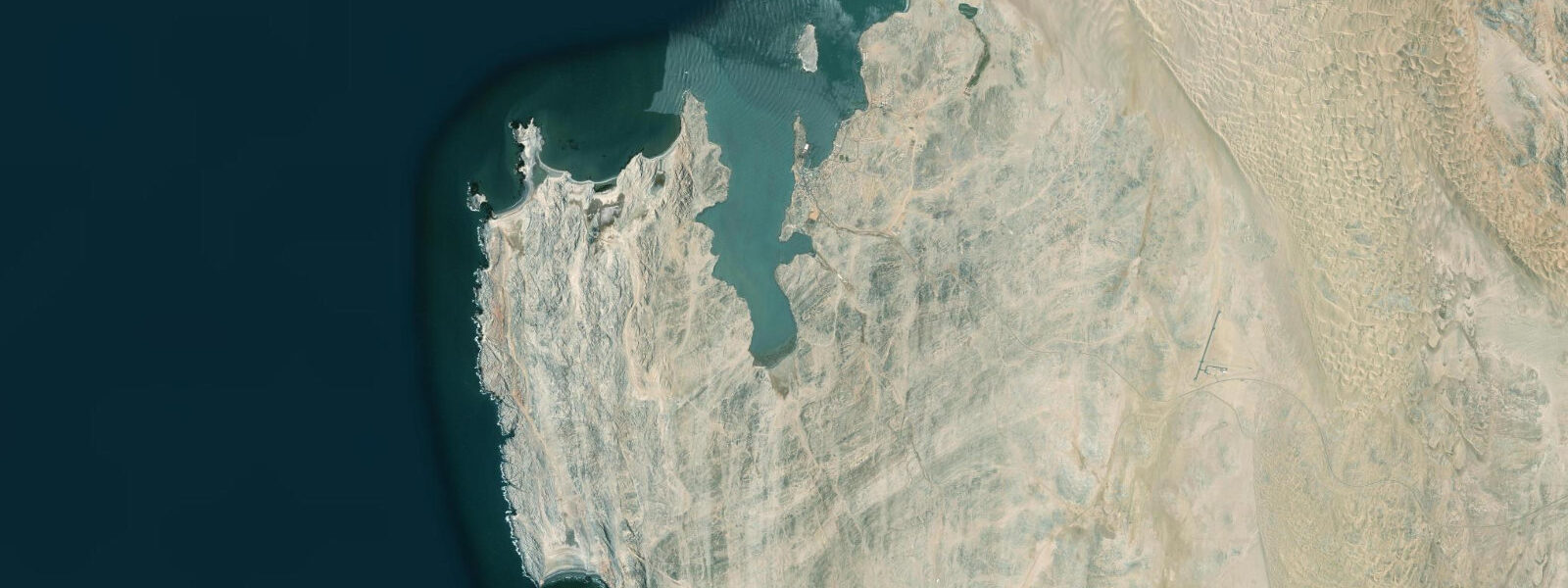
Lüderitz occupies one of the most improbable positions of any town in southern Africa: a Wilhelmine colonial port dropped into the harshest section of the Namibian coast, surrounded by barren gravel plains and the cold South Atlantic, 200 kilometres from the nearest comparable settlement. The town functions because of diamonds and rock lobster; it persists because of its isolation, which has kept the colonial architecture intact and the population small enough that the town remains genuinely itself.
The Benguela Current at this latitude is cold and intense. Sea surface temperatures run 10-14°C year-round, generating the persistent advection fog that blankets the coast on roughly 200 days per year. On fog mornings, the Felsenkirche — the Lutheran church built on a granite outcrop above the harbour in 1912 — materialises and disappears as the fog moves through in layers. The light is flat and grey and the Namib gravel plains extend in every direction beyond the edge of town. This is not a landscape that comforts; it impresses by scale and severity.
The Felsenkirche and the Goerke Haus are the two essential buildings. The Felsenkirche (Rock Church) was completed in 1912, funded in part by the Kaiser, and sits on a granite kopje southeast of the town centre with an unobstructed view of the bay. The building is German Evangelical in style — pointed arch windows, a simple tower, sandstone construction — preserved in extraordinary condition by the hyperarid climate. The interior is original. The Goerke Haus, completed in 1910 for a diamond industry director, is a Jugendstil (art nouveau) building on Diamond Hill above the town, now serving as a public museum. The building quality reflects what diamond revenues could commission at the height of the 1908-1910 diamond rush.
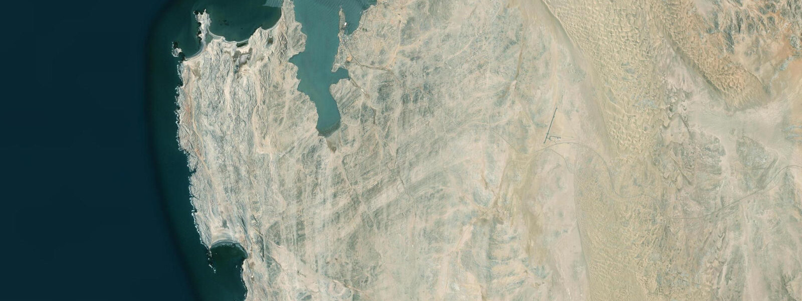
The tidal regime at Lüderitz is mixed semidiurnal with a spring range of approximately 1.5 to 2.0 metres. Southern Ocean swell from the Drake Passage arrives at the exposed headlands on the south and west sides of the peninsula with little attenuation; 3 to 5 metre wave faces on the exposed points are common from May through September, when winter storms in the Southern Ocean generate long-period swell. The harbour itself, protected by the peninsula, is calmer — the fishing fleet and the harbour tour boats operate year-round from the sheltered anchorage.
Diaz Point is 22 kilometres south of the town on a rutted dirt track. The Portuguese explorer Bartolomeu Dias made landfall here in 1488 — one of the first European navigators to reach the Namibian coast. A replica of the original stone cross (padrão) that Dias erected on the headland stands at the site; the original is in the National Museum of Namibia in Windhoek. The drive to Diaz Point crosses a section of the Sperrgebiet National Park perimeter — stay on the designated road, as the restricted diamond zone begins immediately off the track.
The rock lobster (crayfish, Jasus lalandii) fishing fleet operates from Lüderitz harbour. Lüderitz is Namibia's primary rock lobster harvesting centre; the cold, nutrient-rich Benguela water produces a dense reef lobster population along the rocky Namibian coast south to the Orange River. The fresh catch is available from quayside vendors and the handful of seafood restaurants in town. Rock lobster season in Namibia runs from November through August with a closed season in September-October. The harbour early morning, when the fleet returns and the catch is landed, is worth the early start.
Atlantic fur seals haul out on the rocks at the harbour entrance and at Seal Island (Robbeneiland), a guano island visible from the waterfront. Boat tours from the harbour visit Seal Island and the Halifax Island African penguin colony — the latter is one of the more significant penguin breeding sites on the Namibian coast. Both islands are uninhabited except by wildlife; access is by licensed tour operator.
The wind at Lüderitz is a dominant environmental factor. The town sits in a gap in the coastal dunes and funnels the prevailing southwest wind; the Berg Wind (hot, dry, off the interior desert) blows in spring and can raise temperatures briefly and dramatically before the cold ocean air reasserts. On strong wind days, standing at the waterfront requires both hands to be occupied with a hat. The wind is the reason the dunes east of town are the most actively moving dune fields in the southern Namib.
For anglers, the rocks south of the harbour and the jetty produce kabeljou (kob), steenbras, and galjoen. The incoming tide — flood — on a spring cycle is the most productive period. Fishing at Diaz Point requires crossing the national park perimeter; a permit from the Ministry of Environment covers the road access.
Predictions on this page come from Open-Meteo Marine, a gridded global ocean model. Accuracy is typically within plus or minus 45 minutes on timing and 0.2 to 0.3 metres on height — model-derived, not from a local gauge. The authoritative national sources for tidal and maritime data on the Namibian coast are the Namibian Meteorological Service and the Namibia Ports Authority.
Tide questions about Lüderitz
Quick answers to the most common questions about tide times, range, and water access at Lüderitz.
What is the tidal range at Lüderitz and does swell affect harbour access?
Lüderitz has a mixed semidiurnal tidal pattern with a spring range of approximately 1.5 to 2.0 metres. The harbour itself, sheltered by the peninsula, is calmer than the exposed coast and operates in most conditions. The exposed headlands to the south and west of the town receive Southern Ocean swell directly — 3 to 5 metre wave faces are common from May through September when winter storms track across the Drake Passage and generate long-period swell. The harbour tour operators and the rock lobster fleet are familiar with the local swell window and schedule tours accordingly. Independent visitors should check both the tide and the sea state forecast before planning a boat trip or attempting to fish the exposed southern rocks.
What is the significance of Diaz Point near Lüderitz?
Diaz Point is the site where the Portuguese navigator Bartolomeu Dias made landfall in 1488 — one of the earliest European arrivals on the Namibian coast during the Portuguese program of southern African exploration. Dias erected a stone cross (padrão) to mark the Portuguese claim; the original is now in the National Museum of Namibia in Windhoek, and a modern replica stands at the site on the headland 22 kilometres south of Lüderitz. The drive follows a dirt track that skirts the Sperrgebiet National Park boundary — stay on the designated road. The headland itself offers open Atlantic views and, on calm days, fur seals on the offshore rocks. Allow 1.5 hours for the return trip from Lüderitz.
When is the Lüderitz rock lobster in season and where can I buy it fresh?
Namibia's rock lobster (Jasus lalandii) season runs from November through August; September and October are the closed season. Lüderitz is Namibia's primary rock lobster landing port — the fleet is based at the harbour and the catch is landed in the early morning. Fresh lobster is available from quayside vendors on landing days and from the seafood restaurants in town. The cold Benguela water produces firm, dense-bodied lobster with a flavour distinct from warmer-water species. If visiting outside the main season (November-February), availability may be reduced. Ask at the harbour about landing days — the fleet's schedule varies with sea conditions.
Can I visit the Halifax Island penguin colony from Lüderitz?
Halifax Island, roughly 2.5 kilometres offshore from Lüderitz, is one of the more significant African penguin (Spheniscus demersus) breeding sites on the Namibian coast. The island is a protected wildlife reserve and access is by licensed tour boat only — no independent landings are permitted. Harbour tour operators in Lüderitz run trips that circle Halifax Island and visit Seal Island (Atlantic fur seals) in the same excursion. The penguin colony is most active from September through December during the breeding season, but adults are present year-round. Morning departures, before the wind builds, give the calmest conditions for the offshore crossing.
Why is the colonial architecture at Lüderitz so well preserved?
The German colonial buildings at Lüderitz — including the Felsenkirche (1912), the Goerke Haus (1910), and the Bahnhof (railway station, 1908) — survive in exceptional condition for a simple physical reason: the hyperarid Namib climate. Rainfall at Lüderitz averages under 20mm per year. Without moisture, the wood rot, rising damp, metal corrosion, and paint failure that degrade buildings in humid climates simply do not occur at the same rate. The Wilhelmine and Jugendstil (art nouveau) structures built during the diamond boom of 1908-1915 have had their joinery, plasterwork, and ironwork preserved by conditions that would be the envy of any European heritage conservator. The dryness is the reason Lüderitz retains architectural integrity that comparable colonial-era German port towns elsewhere have long since lost.
8-day tide table — Lüderitz
Heights relative to MSL. Predictions: Open-Meteo Marine (MeteoFrance SMOC, 0.08° grid) — heights relative to MSL (not chart datum / LAT). Model-derived.
| Day | Type | Time | Height |
|---|---|---|---|
| Sat 04 Jul | Low | 02:00 | -0.5m |
| High | 05:14 | 0.1m | |
| Low | 11:10 | -0.9m | |
| High | 17:34 | 0.2m | |
| Low | 23:53 | -0.8m | |
| Sun 05 Jul | High | 05:57 | 0.1m |
| Low | 11:48 | -0.8m | |
| High | 18:10 | 0.2m | |
| Mon 06 Jul | Low | 12:36 | -0.7m |
| High | 18:57 | 0.2m | |
| Tue 07 Jul | — | ||
| Wed 08 Jul | Low | 02:24 | -0.8m |
| High | 08:43 | -0.0m | |
| Low | 14:43 | -0.6m | |
| High | 20:50 | 0.1m | |
| Thu 09 Jul | Low | 03:36 | -0.8m |
| High | 10:02 | 0.0m | |
| Low | 15:56 | -0.6m | |
| High | 22:08 | 0.1m | |
| Fri 10 Jul | Low | 04:43 | -0.8m |
| High | 11:12 | 0.1m | |
| Low | 17:18 | -0.7m | |
| High | 23:24 | 0.1m | |
| Sat 11 Jul | Low | 01:00 | -0.0m |