Bogenfels tide times
Bogenfels tide forecast — heights relative to MSL.
Today's tide times for Bogenfels
Tide times at Bogenfels on Saturday, 4 July 2026: first low tide at 02:00am, first high tide at 05:10am, second low tide at 11:02am. Sunrise 07:49am, sunset 06:15pm.
Tide chart for Bogenfels
24-hour cosine-interpolated curve around the present moment. Heights relative to MSL. Predictions: Predictions: Open-Meteo Marine (MeteoFrance SMOC, 0.08° grid).
Sun, moon and conditions on Sat 04 Jul
Snapshot at build time — refreshes daily. Sea state from Open-Meteo Marine.
Highs and lows next 7 days
Every predicted high and low for the next week, with the daily tidal coefficient (0–120; higher = bigger swing, > 95 means stronger currents).
Other spots nearby
The three closest curated TideTurtle locations to Bogenfels, measured by great-circle distance.

Today's solunar windows
Solunar tradition: major periods are the ≈3h windows around moon transit and opposition; minor are ≈2h around moonrise and moonset. Pair with the local tide stage and wind for the best read.
Cycle dates near Bogenfels
Next spring tide on Sun 05 Jul (range 1.0m). Next neap on Thu 09 Jul.
Spring tides cluster around new and full moons (biggest swings). Neap tides land on quarter moons (smallest swings). See the spring tide and neap tide glossary entries for the why.
About tides at Bogenfels
A short guide to the coastline at Bogenfels — geography, sea state, and what the tide is actually doing under your feet.
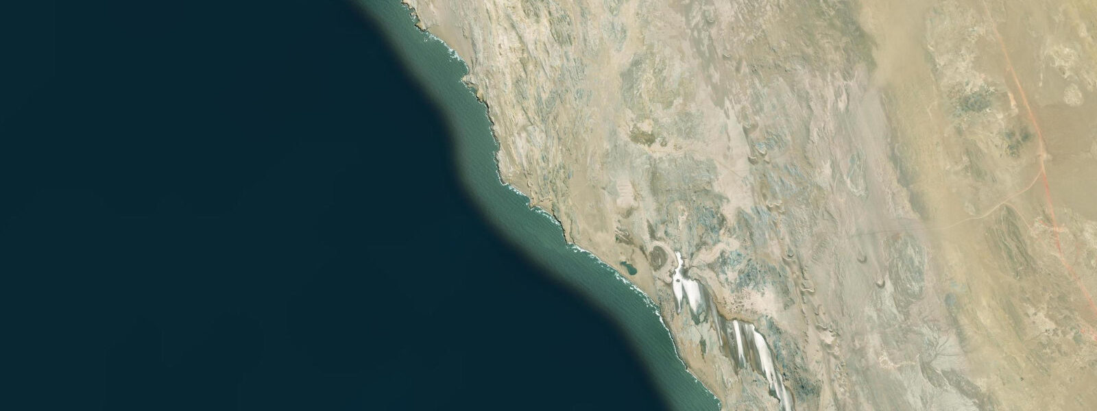
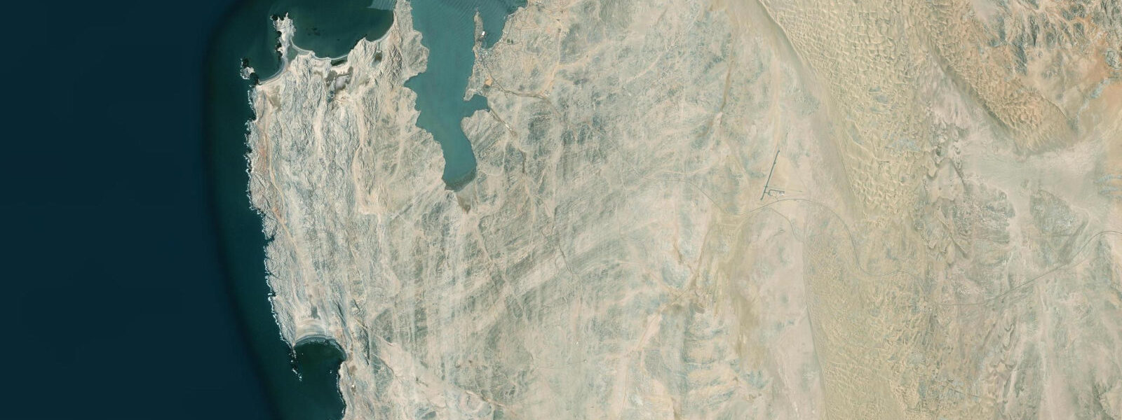
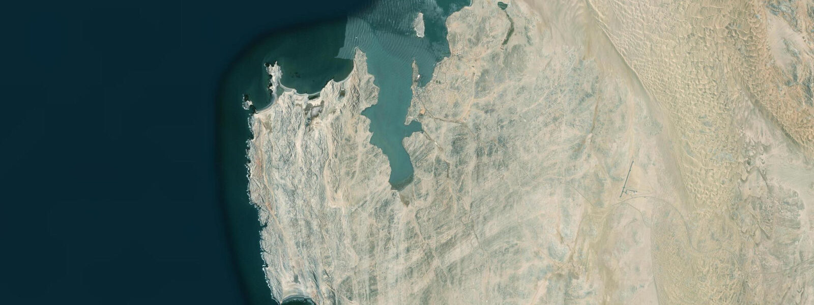
Bogenfels is a sea arch 55 metres high standing on the Atlantic coast 110 kilometres south of Lüderitz, inside the Sperrgebiet National Park. Access requires a permit from the park authority and passage through the active diamond mining zone — this is among the most inaccessible sea arches in the world, which is precisely why the landscape around it is as undisturbed as it is. No casual traffic reaches Bogenfels. The gravel plains, the cliff faces, and the foreshore have had effectively no human presence beyond mining operations for over a century.
The arch itself is basalt and quartzite, carved by Atlantic wave action along joint and fault lines in the cliff. The erosion process that created it is ongoing — the base of the arch and the adjacent wave-cut platform are actively worked by Southern Ocean swell arriving from the Drake Passage. From May through September, storm swell from the Southern Ocean reaches the southern Namibian coast with 3 to 5 metre face heights on exposed headlands; Bogenfels sits on one of the most exposed sections of the Namibian coast and receives swell without any offshore attenuation. At the arch base, wave energy is concentrated and the spray column in heavy swell reaches the underside of the span.
The tidal regime at this latitude is mixed semidiurnal, spring range approximately 1.5 to 2.0 metres. At spring low water, the wave-cut platform extending from the cliff base is exposed for 50 to 80 metres seaward of the normal high-water line — a wide, flat shelf of eroded bedrock populated by limpets, barnacles, chitons, and the kelp holdfasts of Ecklonia maxima. In calm conditions, the platform is walkable at extreme low water and provides the closest approach to the base of the arch on foot. In any kind of swell, the platform is inaccessible — wave sets arrive unpredictably and the platform offers no retreat.
Cape fur seals occupy the offshore rocks south of the arch. The colony is not the scale of Pelican Point or Cape Cross further north, but the seals use the exposed reef as a haul-out point and the surrounding kelp beds as feeding grounds. Cold, nutrient-rich Benguela water at 10-14°C supports dense fish biomass in the kelp canopy; yellowtail, snoek, and various reef species concentrate in the upwelling zone. The Sperrgebiet waters are effectively unfished by recreational anglers — no access for the past century — which means the fish populations here are in better condition than on accessible sections of the coast.
The vegetation at Bogenfels is the vegetation of the southern Namib in its undisturbed state: Welwitschia mirabilis grows at intervals across the gravel plains — the extraordinary gymnosperm that produces only two leaves in its entire lifespan of several centuries, the leaves progressively fraying into leather strips as the plant ages. Lichens crust the pebbles. Nothing else survives at this scale and aridity. The ground-level view across the gravel plain toward the Atlantic, with the arch on the cliff and the cold sea below, is one of those landscapes that communicates scale and isolation without any need for explanation.
Photography at Bogenfels is constrained by access more than by light. The standard approach from the park track puts visitors on the cliff top above the arch, looking down — this is the canonical viewpoint for the 55-metre span. Late afternoon light from the northwest illuminates the arch face. Early morning gives a side-lit view with cooler colour temperature and less heat shimmer off the gravel plain. The fog that covers the coast on many mornings can produce extraordinary conditions: the arch base disappearing into grey, the span in partial light, the sound of surf below the visibility layer.
The Sperrgebiet National Park permit system routes visitors through Lüderitz Safaris and Tours. Tours to Bogenfels are not run on a daily scheduled basis — they require advance booking and sufficient participant numbers to justify the vehicle journey of roughly 2.5 hours each way across unmaintained park tracks. Self-drive within the Sperrgebiet is not permitted; all movement is in licensed vehicles with an accredited guide. The 110-kilometre journey from Lüderitz crosses terrain that ranges from gravel plains to coastal dune fields, with periodic mine infrastructure visible from the track. The journey is as significant as the destination.
There is no infrastructure at Bogenfels beyond the track and a viewing point above the arch. No toilet, no shelter, no water. The fog can reduce visibility to under 50 metres without warning and the wind at the cliff edge is reliably strong. This is managed wilderness, not developed tourism — the inaccessibility is the point.
Predictions for the nearest coastal reference (Lüderitz) come from Open-Meteo Marine, a gridded global ocean model. Accuracy is typically within plus or minus 45 minutes on timing and 0.2 to 0.3 metres on height — model-derived, not from a local gauge. The authoritative national sources for tidal and maritime data on the Namibian coast are the Namibian Meteorological Service and the Namibia Ports Authority.
Tide questions about Bogenfels
Quick answers to the most common questions about tide times, range, and water access at Bogenfels.
How do I get a permit and book a tour to Bogenfels?
Bogenfels is inside the Sperrgebiet National Park — the restricted diamond zone — and all access requires a permit and travel in a licensed vehicle with an accredited guide. Lüderitz Safaris and Tours manages the permit system and organises Sperrgebiet tours. Bogenfels excursions are not run on a daily scheduled basis; they require advance booking and are organised when sufficient participants are available to cover the logistics of a 220-kilometre round trip on unmaintained park tracks. Contact Lüderitz Safaris and Tours directly, at minimum one week ahead, to check tour dates. Self-drive within the Sperrgebiet is prohibited; the mining concession and park restrictions are actively enforced.
What is the geology of the Bogenfels arch and how was it formed?
Bogenfels is carved from basalt and quartzite coastal cliffs on the southern Namibian Atlantic coast. The arch formed by wave erosion working along natural joint and fault lines in the rock — a process called differential erosion, where the sea attacks structurally weak zones preferentially. The initial formation was likely a sea cave cut into the cliff base along a vertical joint; as the cave deepened and its roof thinned, the outer section collapsed, leaving the arch span. The base of the arch is still actively eroded by Atlantic swell. At 55 metres, the arch is taller than most sea arches accessible to the public anywhere in the world; comparable structures include the Pont d'Arc in France (though formed fluvially) and the Azure Window in Malta before its 2017 collapse.
Can I walk on the wave-cut platform at the base of the arch?
In calm conditions only, and at spring low water. The platform exposed at extreme low water extends 50 to 80 metres seaward and is composed of eroded bedrock with limpets, barnacles, and kelp holdfasts. The platform gives the closest accessible approach to the arch base on foot. In any swell, the platform is genuinely dangerous — wave sets from the Southern Ocean arrive irregularly, break across the platform, and offer no retreat path. From May through September, 3 to 5 metre swell faces on this exposed coast make platform access impossible. Your guide will assess conditions on the day; the cliff-top viewpoint is the default and the safer option in all but the calmest summer weather.
What wildlife is present at Bogenfels?
Cape fur seals haul out on the offshore rocks south of the arch and in the kelp beds around the headland. The Sperrgebiet waters are effectively unfished and unvisited — a century without recreational angling pressure means the reef fish populations are in better condition than on accessible sections of the Namibian coast. Yellowtail, snoek, and reef species are present in the cold Benguela kelp zone. Welwitschia mirabilis — the ancient desert gymnosperm — grows on the gravel plains approaching the coast. African black oystercatcher and kelp gull are the most visible coastal birds on the cliff and platform. The absence of human disturbance for over a century makes the wildlife more notable for what is absent than what is present: there are no plastic containers, no fishing gear entanglement, and no bait-fishing pressure on the reef.
What is the best time of year and time of day to visit Bogenfels?
November through April gives the calmest sea conditions — swell from the Southern Ocean is reduced and platform access at low water is occasionally possible on calm days. May through September brings the most dramatic swell conditions: 3 to 5 metre faces on the exposed headlands, spray reaching the arch underside, and a more austere coastal atmosphere. For photography, late afternoon light from the northwest illuminates the arch face; early morning gives side-lit conditions with cooler colour. Morning fog — common on 200 or more days per year at this latitude — creates atmospheric conditions but may obscure the arch entirely for hours. The journey from Lüderitz takes approximately 2.5 hours each way, making a full day the minimum commitment.
8-day tide table — Bogenfels
Heights relative to MSL. Predictions: Open-Meteo Marine (MeteoFrance SMOC, 0.08° grid) — heights relative to MSL (not chart datum / LAT). Model-derived.
| Day | Type | Time | Height |
|---|---|---|---|
| Sat 04 Jul | Low | 02:00 | -0.5m |
| High | 05:10 | 0.1m | |
| Low | 11:02 | -0.9m | |
| Sun 05 Jul | High | 05:53 | 0.1m |
| Low | 11:45 | -0.8m | |
| High | 18:08 | 0.2m | |
| Mon 06 Jul | Low | 12:35 | -0.7m |
| High | 18:53 | 0.2m | |
| Tue 07 Jul | Low | 01:24 | -0.8m |
| High | 19:46 | 0.1m | |
| Wed 08 Jul | Low | 02:23 | -0.8m |
| High | 08:42 | -0.0m | |
| Low | 14:37 | -0.6m | |
| High | 20:51 | 0.1m | |
| Thu 09 Jul | Low | 15:50 | -0.6m |
| High | 22:02 | 0.1m | |
| Fri 10 Jul | Low | 04:42 | -0.8m |
| High | 11:08 | 0.1m | |
| Low | 17:12 | -0.7m | |
| High | 23:19 | 0.1m | |
| Sat 11 Jul | Low | 01:00 | -0.0m |