Kawthaung, Myanmar tide times
Kawthaung, Myanmar tide forecast — heights relative to MSL.
Today's tide times for Kawthaung, Myanmar
Tide times at Kawthaung, Myanmar on Saturday, 4 July 2026: first low tide at 06:30am, first high tide at 11:51am, second low tide at 06:07pm. Sunrise 05:39am, sunset 06:20pm.
Tide chart for Kawthaung, Myanmar
24-hour cosine-interpolated curve around the present moment. Heights relative to MSL. Predictions: Predictions: Open-Meteo Marine (MeteoFrance SMOC, 0.08° grid).
Sun, moon and conditions on Sat 04 Jul
Snapshot at build time — refreshes daily. Sea state from Open-Meteo Marine.
Highs and lows next 7 days
Every predicted high and low for the next week, with the daily tidal coefficient (0–120; higher = bigger swing, > 95 means stronger currents).
Other spots nearby
The three closest curated TideTurtle locations to Kawthaung, Myanmar, measured by great-circle distance.

Today's solunar windows
Solunar tradition: major periods are the ≈3h windows around moon transit and opposition; minor are ≈2h around moonrise and moonset. Pair with the local tide stage and wind for the best read.
Cycle dates near Kawthaung, Myanmar
Last spring tide on Sat 04 Jul (range 2.7m). Next neap on Thu 09 Jul.
Spring tides cluster around new and full moons (biggest swings). Neap tides land on quarter moons (smallest swings). See the spring tide and neap tide glossary entries for the why.
About tides at Kawthaung, Myanmar
A short guide to the coastline at Kawthaung, Myanmar — geography, sea state, and what the tide is actually doing under your feet.
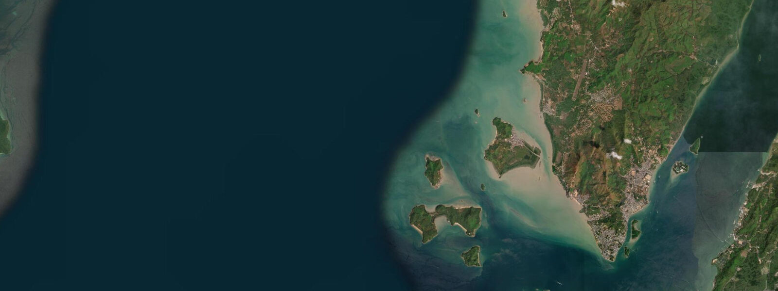
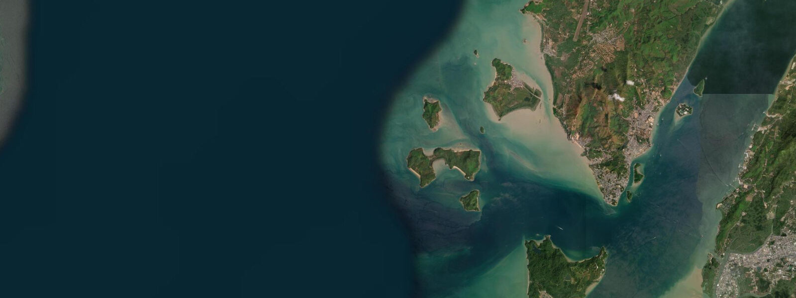
Kawthaung is the southernmost town in Myanmar, occupying a peninsula at the tip of the Tanintharyi Region where the Andaman Sea meets the Strait of Malacca, directly opposite Ranong in Thailand across the Pak Chan River estuary. The two towns are connected by a 15-minute longtail boat crossing; the estuary is 1.5 km wide, the current runs 1 to 2 knots on both ebb and flood, and the crossing is made dozens of times each day by traders, day-trippers with Thai border passes, and travellers completing an overland crossing. The English colonial name Victoria Point appears on older charts and in WWII records of the region.
The town has the practical density of a working border port: a covered market where fresh fish, tropical fruit, and border-trade goods from Thailand sit side by side, a waterfront restaurant strip, a cluster of guesthouses, and the logistics of the liveaboard fleet that provisions here before heading north into the Myeik Archipelago. The pagoda on the hilltop above the town is the visual landmark visible from the Thai side of the estuary.
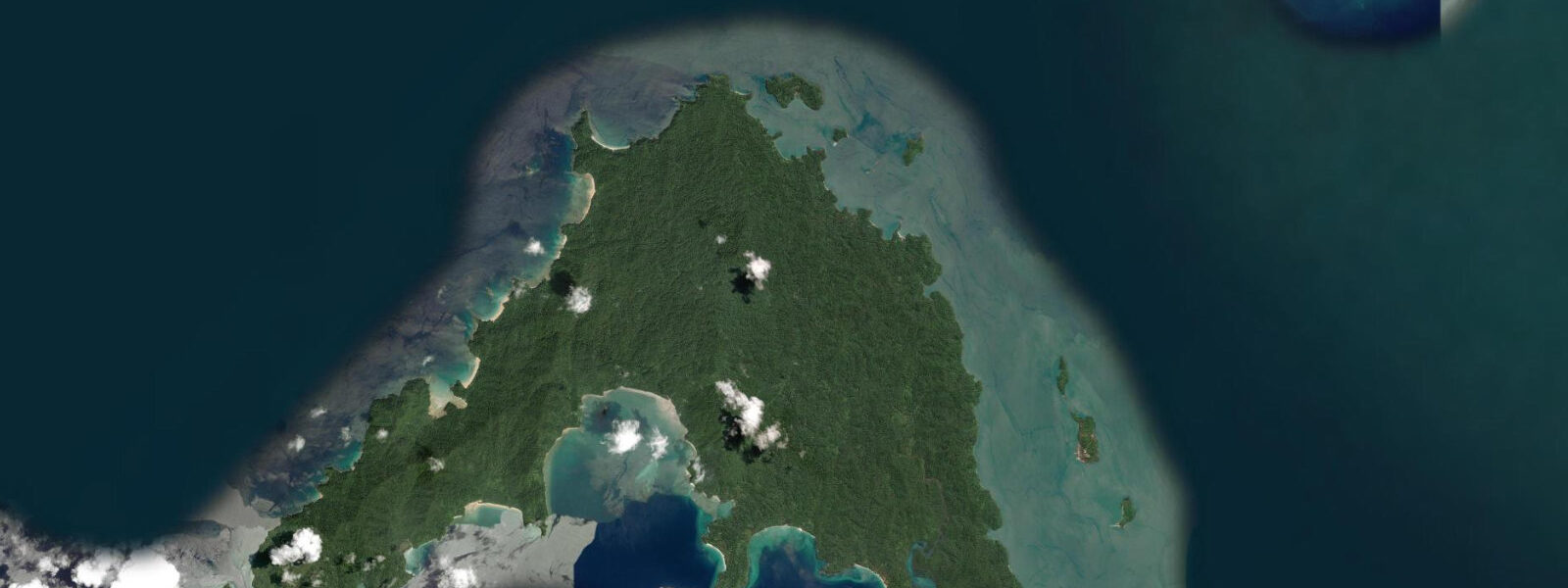
Lampi Marine National Park, accessible by longtail or liveaboard from Kawthaung pier, is the most easily reached significant island in the outer Myeik Archipelago: 20 km long, with mangrove-lined coasts accessible by boat, coral reefs on the western edge, freshwater streams and waterfalls in the interior, and essentially no tourist infrastructure beyond the park office. Day trips from Kawthaung are possible in calm conditions; overnight requires a park permit. The park protects a section of the outer archipelago where Moken sea nomads have traditional seasonal camps, and the terrestrial forest holds hornbills, kingfishers, and the monitor lizard species common throughout the Tanintharyi coast.
The Andaman Sea regime here is semidiurnal macro-tidal: spring range 4.0 to 5.0 m, though at the southernmost point of Myanmar — near the transition toward the smaller tidal ranges of the Strait of Malacca — the range is toward the lower end of that band compared to the Myeik latitude. The Pak Chan estuary current of 1 to 2 knots is the most practically significant local tidal feature; the longtail boat operators are experienced with it and the crossing times vary only marginally with tidal phase. The fish market operates from early morning on the incoming tide as the overnight boats return with Andaman catches — deep-water snapper, grouper, and the seasonal pelagics that make these waters productive. Predictions on this page come from Open-Meteo Marine (gridded model, ±45 min / ±0.2–0.3 m). The Kawthaung morning market operates from before dawn, with fresh Andaman fish, crabs, and the imported goods from the Thai trade trucks lining the road behind the market stalls. The market is at its most active on the incoming tide when the overnight Andaman fishing boats return and sell their catch at the pier end of the market. The walk from the main pier to the hilltop pagoda takes 30 minutes and gives a panoramic view of the Pak Chan estuary, the Thai hills on the other side, and the outer island horizon of the upper Myeik Archipelago. The passage between Kawthaung and Ko Chang Noi in Thailand is busy with cross-border ferry traffic; tidal current in the channel can reach 2 knots at spring tide and the local operators know exactly when to depart to take current with them. Recreational kayakers crossing should consult current tables, not just height predictions. The islands south and east of town are fringed with reef and mangrove; snorkelling conditions on the reef flats are highly tide-dependent, with the clearest water on the first two hours of the incoming flood when offshore water replaces the mixed lagoonal water. The morning market at Kawthaung pier fills with catches landed on the early flood; the fish auction is typically done by 08:00. The broader Mergui Archipelago begins here, and liveaboard dive operators working the outer islands read spring and neap cycles carefully — dive sites on steep walls are relatively tide-neutral, but submerged reef flats require enough water to be safe.
Tide questions about Kawthaung, Myanmar
Quick answers to the most common questions about tide times, range, and water access at Kawthaung, Myanmar.
When is the next high tide at Kawthaung?
The hero block shows the next predicted high at Kawthaung in Myanmar Time (MMT, UTC+6:30). The Andaman Sea here is semidiurnal, spring range 4.0 to 5.0 m — the same macro-tidal regime as the rest of the Tanintharyi coast. The Pak Chan estuary current runs 1 to 2 knots on both the ebb and the flood; longtail boat crossing times to Ranong vary by a few minutes across the tidal cycle. Predictions from Open-Meteo Marine (gridded model, ±45 min / ±0.2–0.3 m).
What is the tidal range at Kawthaung?
Spring range runs 4.0 to 5.0 m; neap range roughly 1.5 to 2.5 m. Kawthaung sits at the southern end of the Andaman macro-tidal zone, near the transition toward the smaller ranges of the Strait of Malacca, so the range here sits toward the lower end of the Tanintharyi band compared to Myeik further north. Two semidiurnal cycles per day, roughly 6 hours apart. The southernmost Tanintharyi range sits at the lower end of the Andaman Sea macro-tidal band, closer to the transition into the Strait of Malacca regime. At neap tides the range falls to 1.5 to 2.5 m and the estuary current drops noticeably.
Where do these predictions come from?
Open-Meteo Marine, a free gridded global ocean model, accuracy ±45 min / ±0.2–0.3 m. Myanmar does not publish open-access gauge data for the Kawthaung area. The Royal Thai Navy publishes tide tables for Ranong, directly opposite Kawthaung across the Pak Chan estuary, which serve as a useful regional cross-reference; Kawthaung tidal timing closely follows Ranong with a small offset. The Ranong gauge on the Thai side of the Pak Chan estuary is published in Royal Thai Navy tide tables; Kawthaung tidal timing is close to Ranong with a small offset, making the Thai tables a practical reference.
How do I cross to Ranong, Thailand from Kawthaung?
Longtail boats cross the Pak Chan estuary between Kawthaung pier and Ranong's Saphan Pla pier, a 15 to 20 minute crossing. Operators run from early morning to late afternoon; negotiate the individual fare or share with other passengers. The crossing is active water — 1 to 2 knot current on the ebb or flood, and the estuary is exposed to wind chop when the afternoon sea breeze builds. The operators handle the conditions routinely. Standard immigration and customs formalities apply on both sides of the crossing.
Is this safe to use for navigation?
No. TideTurtle is a planning tool, not a nautical resource. The Pak Chan estuary has strong tidal current, shifting sand bars, and active commercial and fishing vessel traffic. For vessel operations in the Kawthaung approaches and the estuary, use official chart sources and local pilot knowledge. At 4 to 5 m spring range the grounding risk on the ebb is rapid; conditions change materially in under 2 hours. The Pak Chan estuary has strong spring tidal current and active commercial vessel traffic between the Myanmar fishing fleet and the Thai side; for any vessel operation use official chart sources and local pilot knowledge.
8-day tide table — Kawthaung, Myanmar
Heights relative to MSL. Predictions: Open-Meteo Marine (MeteoFrance SMOC, 0.08° grid) — heights relative to MSL (not chart datum / LAT). Model-derived.
| Day | Type | Time | Height |
|---|---|---|---|
| Sat 04 Jul | Low | 06:30 | -0.4m |
| High | 11:51 | 2.0m | |
| Low | 18:07 | -0.6m | |
| Sun 05 Jul | High | 00:21 | 1.7m |
| Low | 06:06 | -0.5m | |
| High | 12:32 | 1.9m | |
| Low | 18:38 | -0.7m | |
| Mon 06 Jul | High | 01:02 | 1.6m |
| Low | 06:44 | -0.5m | |
| High | 13:13 | 1.8m | |
| Low | 19:10 | -0.6m | |
| Tue 07 Jul | High | 01:54 | 1.6m |
| Low | 19:51 | -0.5m | |
| Wed 08 Jul | High | 02:40 | 1.6m |
| Low | 08:16 | -0.1m | |
| High | 14:54 | 1.5m | |
| Low | 20:43 | -0.3m | |
| Thu 09 Jul | High | 03:38 | 1.6m |
| Low | 09:26 | 0.0m | |
| Fri 10 Jul | High | 04:45 | 1.6m |
| Low | 11:18 | 0.1m | |
| High | 17:06 | 1.3m | |
| Low | 23:33 | -0.2m | |
| Sat 11 Jul | High | 05:30 | 1.6m |