Kawthaung tide times
Kawthaung tide forecast — heights relative to MSL.
Today's tide times for Kawthaung
Tide times at Kawthaung on Saturday, 4 July 2026: first low tide at 06:30am, first high tide at 11:49am, second low tide at 06:06pm. Sunrise 05:39am, sunset 06:20pm.
Tide chart for Kawthaung
24-hour cosine-interpolated curve around the present moment. Heights relative to MSL. Predictions: Predictions: Open-Meteo Marine (MeteoFrance SMOC, 0.08° grid).
Sun, moon and conditions on Sat 04 Jul
Snapshot at build time — refreshes daily. Sea state from Open-Meteo Marine.
Highs and lows next 7 days
Every predicted high and low for the next week, with the daily tidal coefficient (0–120; higher = bigger swing, > 95 means stronger currents).
Other spots nearby
The three closest curated TideTurtle locations to Kawthaung, measured by great-circle distance.

Today's solunar windows
Solunar tradition: major periods are the ≈3h windows around moon transit and opposition; minor are ≈2h around moonrise and moonset. Pair with the local tide stage and wind for the best read.
Cycle dates near Kawthaung
Last spring tide on Sat 04 Jul (range 2.6m). Next neap on Thu 09 Jul.
Spring tides cluster around new and full moons (biggest swings). Neap tides land on quarter moons (smallest swings). See the spring tide and neap tide glossary entries for the why.
About tides at Kawthaung
A short guide to the coastline at Kawthaung — geography, sea state, and what the tide is actually doing under your feet.
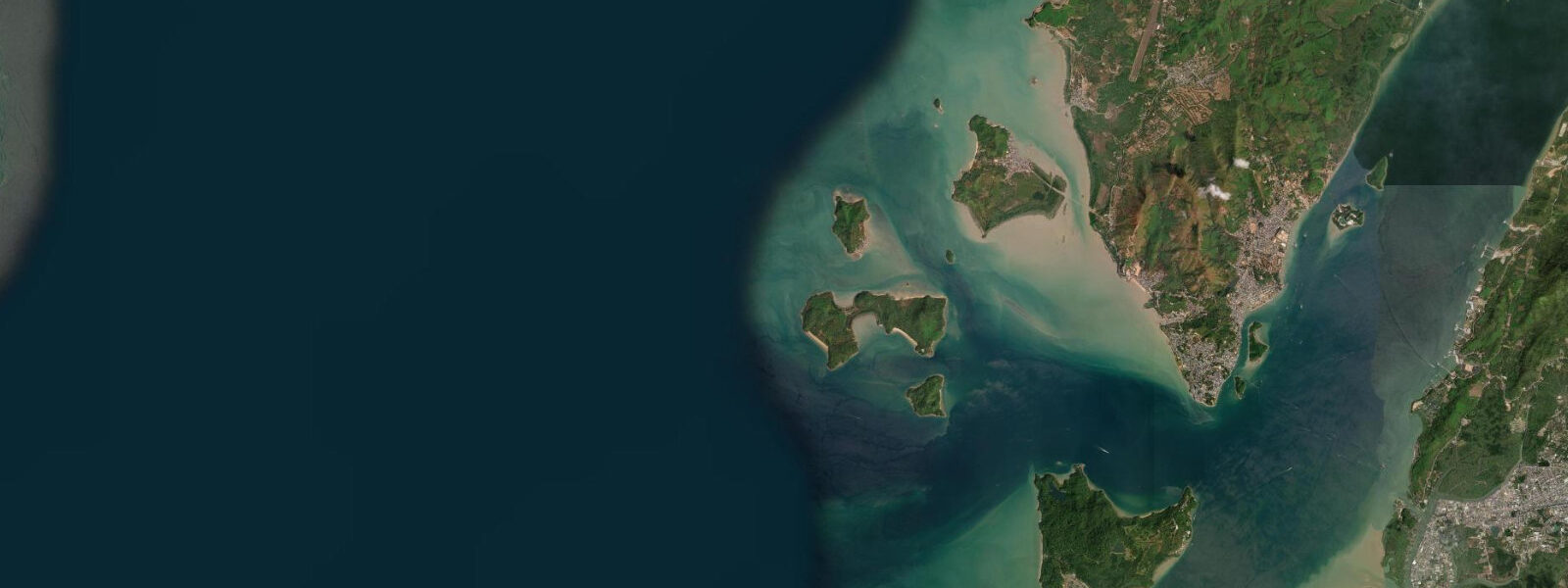
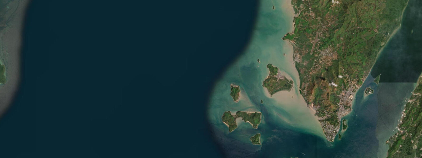
Kawthaung is the southernmost town in Myanmar, at the tip of the Tanintharyi Region's long coastal tail. Across the Paknam channel — barely 500 metres of water — lies Ranong in southern Thailand. The border crossing between Kawthaung and Ranong is an active sea border: passenger ferries run several times daily, carrying Thai day-trippers into Myanmar for visa renewal, and bringing goods and passengers in both directions. The crossing takes 10 minutes.
The tidal regime at Kawthaung is mixed semidiurnal with a large spring range of 4 to 5 metres — slightly greater than at Myeik further north. The Paknam River estuary at Kawthaung amplifies the tidal signal: the channel geometry constricts the tidal flood into a powerful stream, and in certain conditions a tidal bore propagates up the estuary on the spring flood. The bore is modest compared to the famous examples in the Bay of Fundy or the Severn, but it is perceptible — a wave front 0.2 to 0.3 metres high moving upstream at 8 to 12 knots, noticeable to boatmen in the estuary and observable from the riverside in town. The conditions for bore formation require a large spring tide combined with a river flow that is neither too high (which suppresses the bore) nor too low (which reduces the tidal amplification).
Kawthaung is the southern base for liveaboard operations into the Mergui Archipelago. The archipelago's liveaboard season runs November to April; boats depart from Kawthaung harbour northward into the archipelago, covering sites that take 2 to 7 days of transit to reach from Myeik but are accessible from Kawthaung in 4 to 24 hours depending on destination. The permit and visa requirements for liveaboard passengers are handled by operators; foreign nationals need specific Mergui Archipelago liveaboard permits in addition to a Myanmar visa.
The Paknam channel between Kawthaung and Ranong is one of the most active small-boat passages in the Andaman Sea coast. Thai longtail boats (hang yao) make the crossing constantly during daylight hours. The tidal current through the narrow channel runs at 2 to 3 knots at spring peaks — the Thai longtail drivers time their crossings to avoid fighting the stream. Passenger crossing times vary by tidal state from 8 minutes (with current) to 20 minutes (against current).
Fishing from the Kawthaung waterfront and harbour approaches targets the fish that use the Paknam estuary for feeding and shelter: mangrove jack (Lutjanus argentimaculatus), threadfin bream, and black-spotted snapper are caught on the flood tide in the channel. Bottom rigs with fresh squid bait work in 5 to 15 metres off the harbour wall.
The Kawthaung market near the ferry terminal has fresh seafood from the Andaman fishing fleet — reef fish, prawns, squid, and crab — and Thai and Myanmar produce from both sides of the border. The market is most active in the early morning when the overnight fishing boats return on the incoming tide.
Predictions on this page come from Open-Meteo Marine, a gridded global ocean model. Accuracy is typically within plus or minus 45 minutes on timing and 0.2 to 0.3 metres on height — model-derived, not from a local gauge. The local tide authority is the Myanmar Department of Meteorology and Hydrology (DMH).
Tide questions about Kawthaung
Quick answers to the most common questions about tide times, range, and water access at Kawthaung.
Is there a tidal bore at Kawthaung?
A modest tidal bore propagates up the Paknam River estuary at Kawthaung on the largest spring tides under specific conditions — a wave front of approximately 0.2 to 0.3 metres moving upstream at 8 to 12 knots. The bore forms when a large spring tidal flood meets the river outflow in the estuary geometry. The conditions require a large spring tide (near the highest of the monthly cycle) combined with moderate river flow. The bore is perceptible to boatmen in the estuary and observable from the riverside, though it is modest compared to the world's major tidal bore sites. Local boatmen can advise on days when conditions are likely to produce a noticeable bore.
How do I cross the border between Kawthaung and Ranong (Thailand)?
Passenger ferries run several times daily from the Kawthaung ferry terminal across the Paknam channel to Ranong in Thailand — a 10-minute crossing. Thai nationals and Myanmar nationals cross freely for day visits under border crossing arrangements. Foreign nationals crossing require valid Myanmar visa (on entry through Kawthaung) and a Thai visa or visa-on-arrival. The crossing is commonly used for Myanmar visa renewal by Thailand-based travellers. Confirm current border crossing arrangements and visa requirements before travel, as these change periodically. The crossing operates during daylight hours; the last boat is typically in the late afternoon.
What is the tidal range at Kawthaung?
Spring tidal range at Kawthaung is approximately 4 to 5 metres — among the largest in Southeast Asia, slightly greater than at Myeik to the north. The Paknam channel tidal current runs at 2 to 3 knots at spring peaks. The estuary amplification produces the occasional tidal bore on the largest spring tides. At low water springs, the harbour approaches and the estuary banks expose significant mud and sand flats. Predictions here come from Open-Meteo Marine (±45 minutes on timing, ±0.3 m on height). Not for navigation; consult the Myanmar Department of Meteorology and Hydrology (DMH).
Can I start a Mergui Archipelago liveaboard from Kawthaung?
Yes. Kawthaung is one of the two main starting points for Mergui Archipelago liveaboards (the other being Myeik to the north). The southern starting point gives quicker access to the southern archipelago sites. The liveaboard season is November to April. Foreign nationals require a Myanmar visa plus specific Mergui Archipelago access permits — coordinate both with your liveaboard operator before booking. A valid Thai visa or Thailand entry stamp is not a substitute for Myanmar entry through Kawthaung. Allow at least 4 to 6 weeks for permit processing when booking in advance.
What fish can I catch from the Kawthaung waterfront?
The Paknam channel and harbour approaches at Kawthaung hold mangrove jack (Lutjanus argentimaculatus), threadfin bream, black-spotted snapper, and occasional barramundi in the tidal estuary. The flood tide is consistently the most productive window, as fish move into the estuary on the rising water. Bottom rigs with fresh squid bait work in 5 to 15 metres off the harbour wall. The tidal current at springs (2 to 3 knots) makes the channel difficult to fish at peak flow — target the last hour of the flood and first hour of the ebb when the current slackens. Night fishing from the harbour wall on the flood tide is locally popular and productive for snapper and jack.
8-day tide table — Kawthaung
Heights relative to MSL. Predictions: Open-Meteo Marine (MeteoFrance SMOC, 0.08° grid) — heights relative to MSL (not chart datum / LAT). Model-derived.
| Day | Type | Time | Height |
|---|---|---|---|
| Sat 04 Jul | Low | 06:30 | -0.4m |
| High | 11:49 | 2.0m | |
| Low | 18:06 | -0.6m | |
| Sun 05 Jul | High | 00:18 | 1.6m |
| Low | 06:05 | -0.5m | |
| High | 12:30 | 1.9m | |
| Low | 18:37 | -0.7m | |
| Mon 06 Jul | High | 13:10 | 1.7m |
| Low | 19:09 | -0.6m | |
| Tue 07 Jul | High | 01:52 | 1.6m |
| Low | 07:24 | -0.3m | |
| High | 13:57 | 1.6m | |
| Low | 19:50 | -0.5m | |
| Wed 08 Jul | High | 02:40 | 1.6m |
| Low | 08:12 | -0.1m | |
| High | 14:51 | 1.5m | |
| Low | 20:41 | -0.3m | |
| Thu 09 Jul | High | 03:37 | 1.6m |
| Low | 09:25 | 0.0m | |
| Fri 10 Jul | High | 04:45 | 1.5m |
| Low | 11:16 | 0.1m | |
| High | 17:06 | 1.3m | |
| Low | 23:33 | -0.1m | |
| Sat 11 Jul | High | 05:30 | 1.6m |