Xai-Xai Beach tide times
Xai-Xai Beach tide forecast — heights relative to MSL.
Today's tide times for Xai-Xai Beach
Tide times at Xai-Xai Beach on Sunday, 21 June 2026: first low tide at 02:00am, first high tide at 07:33am, second low tide at 01:45pm, second high tide at 08:12pm. Sunrise 06:29am, sunset 05:04pm.
Tide chart for Xai-Xai Beach
24-hour cosine-interpolated curve around the present moment. Heights relative to MSL. Predictions: Predictions: Open-Meteo Marine (MeteoFrance SMOC, 0.08° grid).
Sun, moon and conditions on Sun 21 Jun
Snapshot at build time — refreshes daily. Sea state from Open-Meteo Marine.
Highs and lows next 7 days
Every predicted high and low for the next week, with the daily tidal coefficient (0–120; higher = bigger swing, > 95 means stronger currents).
Other spots nearby
The three closest curated TideTurtle locations to Xai-Xai Beach, measured by great-circle distance.
Today's solunar windows
Solunar tradition: major periods are the ≈3h windows around moon transit and opposition; minor are ≈2h around moonrise and moonset. Pair with the local tide stage and wind for the best read.
Cycle dates near Xai-Xai Beach
Last spring tide on Sun 21 Jun (range 1.3m). Next spring tide on Sat 27 Jun (range 1.3m). Next neap on Wed 24 Jun.
Spring tides cluster around new and full moons (biggest swings). Neap tides land on quarter moons (smallest swings). See the spring tide and neap tide glossary entries for the why.
About tides at Xai-Xai Beach
A short guide to the coastline at Xai-Xai Beach — geography, sea state, and what the tide is actually doing under your feet.
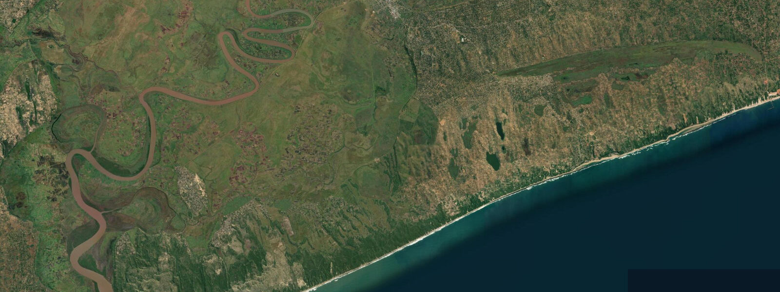
Xai-Xai (pronounced shy-shy) is the provincial capital of Gaza Province, 220 km north of Maputo on the EN1 highway — the closest significant beach destination to the capital by road. The beach itself is centred on the Chongoene resort strip, 20 km south of Xai-Xai town, where casuarina pines and low dunes back a wide strand of Indian Ocean beach. The access road from the EN1 turns off at Chongoene and runs east through low coastal bush to the beach and the cluster of chalets, campgrounds, and small lodge operations.
The tidal range at Xai-Xai Beach is approximately 3.5 m on a spring tide, consistent with the Mozambique Channel macrotidal regime. The beach slope is moderate, and the spring low exposes a wide band of firm wet sand extending 150 to 200 m from the high-water line. Two highs and two lows per day on the standard semidiurnal pattern. The beach is fully exposed to Indian Ocean swell from the southeast and east; there is no reef protection here. Swell of 1.5 to 2.5 m from the southeast is typical for much of the year, producing a consistent shore-break that shapes the lower beach and cuts rip channels through the mid-tide sandbar. The beach profile changes notably between spring and neap cycles — on spring lows the wide sand flat that emerges is firm enough to drive on, which is how most local fishermen and resort guests reach the more remote stretches south of the main resort strip.
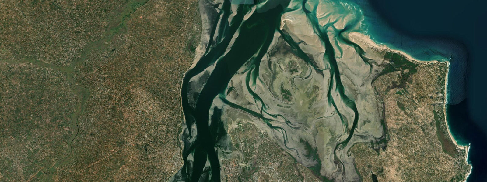
The coastline in this area was severely affected by the 2000 Mozambique floods, the worst flood disaster in the country's recorded history. The Limpopo River — whose mouth enters Delagoa Bay approximately 50 km south of Xai-Xai — breached its banks and inundated a wide swathe of the Gaza Province coastal plain. Communities were stranded on rooftops and in trees for days; the international rescue operation involved helicopter extractions from flooded areas that had become temporary islands. The floodwater remained in the coastal plain for weeks, and the salt intrusion and sediment deposition changed the character of the lower Limpopo delta system for years afterward. The effects on coastal fishing communities — the loss of boats, nets, and fish-drying infrastructure — took a decade to recover.
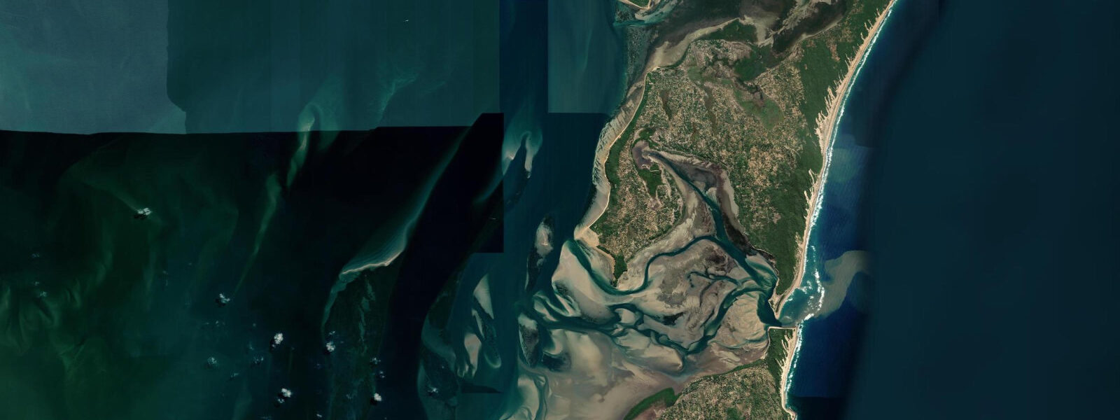
The Limpopo River mouth and the Changane River system to the south contribute estuarine outflow to the coastal zone south of Xai-Xai. After significant rainfall events in the upper Limpopo catchment — extending into South Africa, Botswana, and Zimbabwe — the sea discoloration and freshwater plume can extend several kilometres offshore, and shore fishing is typically poor until the plume disperses. In normal conditions, shore fishing from the beach gutters and the rocky sections at the headlands north of the resort produces garrick, barracuda, snapper, kingfish, and shad. The incoming tide, from the last hour of the ebb through the first two hours of the flood, is the traditional productive window for surf casting from the beach gutters. The angler tradition that uses moon transits to rate fishing days is followed by local fishermen along the Gaza coast; the solunar tradition scores days at the full and new moon highly for the coastal species.
Beach-walkers at low water find the widest sand and the lowest surf-break energy. The early morning low, when light is best for photography and air temperature is comfortable, is the most popular window for the daily beach walk south from Chongoene along the Delagoa Bay shoreline. The beach south of Chongoene toward the Limpopo delta flats is remote and requires a vehicle; the dune-backed beach north toward Bilene (another resort 35 km north) is accessible on foot at low water for those with time. Photographers find the spring low at dawn produces the most expansive perspective: 200 m of reflective wet sand, the casuarina silhouette, and the first light from the east with no buildings in frame.
Predictions for Xai-Xai Beach come from Open-Meteo Marine, a gridded global ocean model; accuracy is typically within plus or minus 45 minutes on timing and 0.2 to 0.3 m on height above chart datum. The authoritative Mozambican tide tables are published by Instituto Nacional de Hidrografia e Navegação (INAHINA). These predictions are not for navigation.
Tide questions about Xai-Xai Beach
Quick answers to the most common questions about tide times, range, and water access at Xai-Xai Beach.
What is the tide range at Xai-Xai Beach?
Spring tidal range at Xai-Xai Beach is approximately 3.5 m, consistent with the macrotidal regime of the Mozambique Channel coast. Neap range drops to around 1.7 m. The regime is semidiurnal — two highs and two lows per day of broadly similar magnitude. At spring low water, the beach exposes 150 to 200 m of firm wet sand from the high-water mark. The beach is fully exposed to southeast Indian Ocean swell — typically 1.5 to 2.5 m — so the visible surf zone and water conditions change more with swell height than with tidal phase. Instituto Nacional de Hidrografia e Navegação (INAHINA) publishes the authoritative Mozambican tide tables; predictions here come from Open-Meteo Marine, accurate to typically plus or minus 45 minutes on timing and 0.2 to 0.3 m on height.
Is shore fishing good at Xai-Xai Beach?
Shore fishing at Xai-Xai Beach is productive in normal sea conditions, with garrick, barracuda, snapper, kingfish, and shad the principal species from the beach gutters and the rocky headland points north of the Chongoene resort strip. The traditional productive window for surf casting is the incoming tide — from the last hour before low water through approximately two hours after the turn. After significant rainfall in the Limpopo catchment, the freshwater plume from the Limpopo River mouth can discolour the sea south of Xai-Xai and reduce fishing quality for several days until the plume dissipates. The rocky points north of the resort at low water expose ledge fishing positions that are submerged on a spring high — these are the most consistent shore spots and require timing the low water to access safely.
What happened to Xai-Xai in the 2000 Mozambique floods?
The 2000 Mozambique floods were triggered by exceptionally heavy rainfall across the Limpopo, Incomati, and Zambezi catchments in February and March 2000. The Limpopo River overflowed its banks across a wide area of Gaza Province, and the coastal plain around Xai-Xai was inundated for weeks. Tens of thousands of people were displaced and many were stranded on rooftops and in elevated ground or trees; international rescue operations extracted people by helicopter from areas surrounded by floodwater. The flooding was described as the worst in 50 years at the time and caused estimated deaths of over 700 people nationally. Coastal fishing communities lost boats, nets, and fish-processing infrastructure, and recovery of the fishing sector in this area took years. The episode illustrates that the most significant water-level events at Xai-Xai come from river flood, not from tidal range.
Where do these tide predictions come from?
Tide predictions for Xai-Xai Beach come from Open-Meteo Marine, a free gridded global ocean model. The model estimates tidal height across a geographic grid; there is no local gauge at Xai-Xai Beach from which the model is calibrated, so predictions carry the standard Open-Meteo Marine accuracy: typically within plus or minus 45 minutes on timing and 0.2 to 0.3 m on height above chart datum. At the 3.5 m spring range of the Mozambique Channel coast, the height uncertainty is below 10% of the total swing — adequate for beach and fishing activity planning. For navigation or survey purposes, consult the tide tables published by Instituto Nacional de Hidrografia e Navegação (INAHINA).
Is the beach at Xai-Xai safe for swimming?
Xai-Xai Beach is an exposed Indian Ocean shore with no reef protection and consistent southeast swell. The shore-break is the main safety consideration: swells of 1.5 m or above produce a strong shore-break that makes swimming uncomfortable for children and non-strong swimmers, and 2 m or above is challenging for most adults. The beach slope is moderate, and rip currents form in the gutters between shore-break banks — look for darker, calmer water running through the white-water line as the rip indicator. Swimming is safest at high water on small-swell days, when the shore-break is reduced and the bank is further from shore. There are no permanent lifeguards at Chongoene. The resort operators post local conditions assessments when staffed. Shark risk on the open beach is low compared to the northern Mozambique reef areas, though bull sharks are present in the estuarine outflow zones south of the beach.
8-day tide table — Xai-Xai Beach
Heights relative to MSL. Predictions: Open-Meteo Marine (MeteoFrance SMOC, 0.08° grid) — heights relative to MSL (not chart datum / LAT). Model-derived.
| Day | Type | Time | Height |
|---|---|---|---|
| Sun 21 Jun | Low | 02:00 | -0.5m |
| High | 07:33 | 0.7m | |
| Low | 13:45 | -0.5m | |
| High | 20:12 | 0.8m | |
| Mon 22 Jun | Low | 02:22 | -0.4m |
| High | 08:25 | 0.6m | |
| Low | 14:39 | -0.4m | |
| High | 21:13 | 0.7m | |
| Tue 23 Jun | Low | 15:50 | -0.3m |
| High | 22:18 | 0.6m | |
| Wed 24 Jun | Low | 04:43 | -0.2m |
| High | 10:56 | 0.5m | |
| Low | 17:10 | -0.3m | |
| High | 23:36 | 0.5m | |
| Thu 25 Jun | Low | 06:00 | -0.4m |
| High | 12:23 | 0.5m | |
| Low | 18:20 | -0.4m | |
| Fri 26 Jun | High | 00:45 | 0.6m |
| Low | 06:57 | -0.5m | |
| High | 13:20 | 0.6m | |
| Low | 19:21 | -0.4m | |
| Sat 27 Jun | High | 01:38 | 0.7m |
| Low | 07:47 | -0.5m | |
| High | 14:05 | 0.8m | |
| Low | 20:06 | -0.5m | |
| Sun 28 Jun | High | 01:00 | 0.7m |