Ponta do Ouro tide times
Ponta do Ouro tide forecast — heights relative to MSL.
Today's tide times for Ponta do Ouro
Tide times at Ponta do Ouro on Sunday, 21 June 2026: first low tide at 01:42pm, first high tide at 08:12pm. Sunrise 06:36am, sunset 05:03pm.
Tide chart for Ponta do Ouro
24-hour cosine-interpolated curve around the present moment. Heights relative to MSL. Predictions: Predictions: Open-Meteo Marine (MeteoFrance SMOC, 0.08° grid).
Sun, moon and conditions on Sun 21 Jun
Snapshot at build time — refreshes daily. Sea state from Open-Meteo Marine.
Highs and lows next 7 days
Every predicted high and low for the next week, with the daily tidal coefficient (0–120; higher = bigger swing, > 95 means stronger currents).
Other spots nearby
The three closest curated TideTurtle locations to Ponta do Ouro, measured by great-circle distance.
Today's solunar windows
Solunar tradition: major periods are the ≈3h windows around moon transit and opposition; minor are ≈2h around moonrise and moonset. Pair with the local tide stage and wind for the best read.
Cycle dates near Ponta do Ouro
Last spring tide on Sun 21 Jun (range 1.2m). Next spring tide on Sat 27 Jun (range 1.2m). Next neap on Wed 24 Jun.
Spring tides cluster around new and full moons (biggest swings). Neap tides land on quarter moons (smallest swings). See the spring tide and neap tide glossary entries for the why.
About tides at Ponta do Ouro
A short guide to the coastline at Ponta do Ouro — geography, sea state, and what the tide is actually doing under your feet.
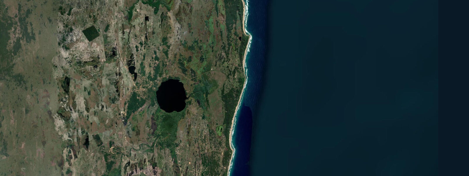
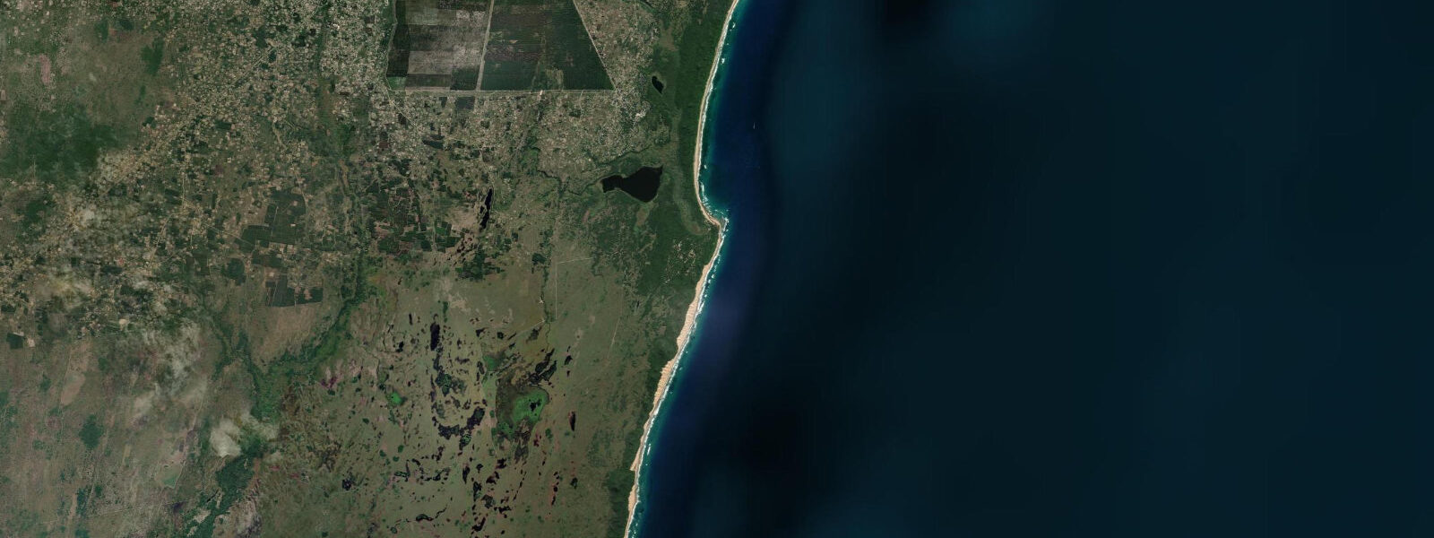
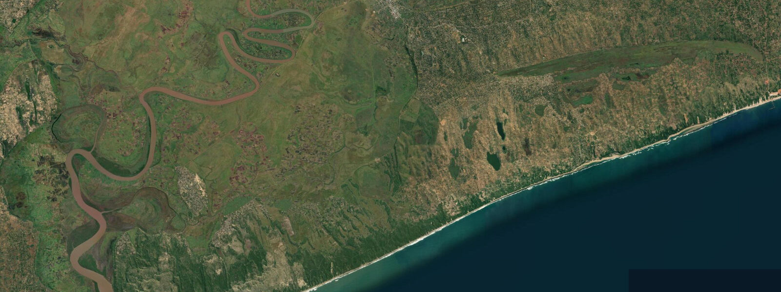
Ponta do Ouro sits at the extreme south of Mozambique, 3 km from the South African border post at Kosi Bay. The name — Point of Gold — is attributed variously to the colour of the high dunes at sunset and to a Portuguese cartographer's optimism. The village is the country's southernmost beach settlement and the main gateway for South African visitors arriving overland by 4WD via the border river crossing, which requires a river ford or a dry-season causeway depending on season.
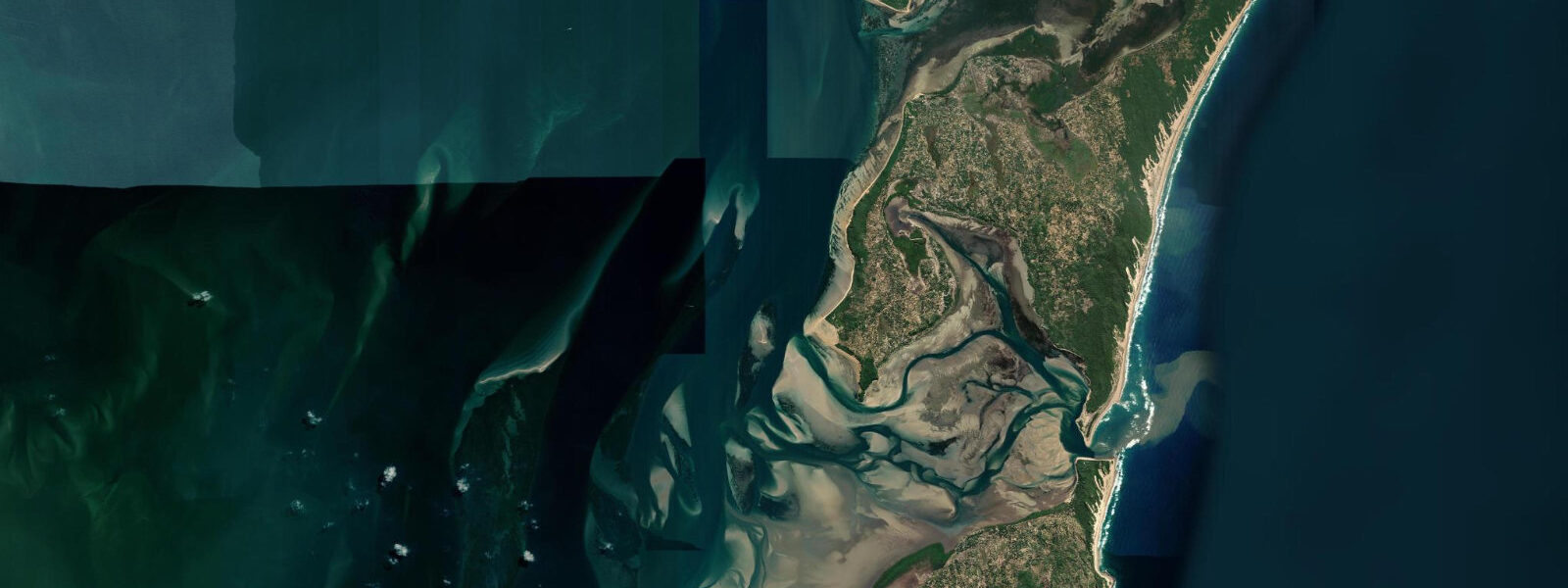
The Baía de Ponta do Ouro opens southeast into the Indian Ocean between two rocky headlands. The northern headland supports a lighthouse; the southern headland, Ponta Mangueza, marks the edge of the dune forest that runs unbroken to the border. The bay's resident population of bottlenose dolphins (Tursiops truncatus) and Indo-Pacific humpback dolphins (Sousa chinensis) is one of the most studied in the southern Indian Ocean — Eduardo Mondlane University has run a long-term dolphin monitoring programme here. Dolphin encounter boat tours run daily from the beach, launching through the surf on the flood tide when the swell angle permits.
The tidal range at Ponta do Ouro is approximately 3.5 m on a spring tide, 1.7 m on a neap. The semidiurnal pattern delivers two highs and two lows per day. At spring low water, the beach north of the bay widens to expose a flat running 200 to 300 m from the high-water mark — firm sand, suited to walking and beach driving by those with permits. The southern section near the headland holds rock pools at low water: urchins, cowries, nudibranchs, and small octopus in the larger pools. The incoming flood covers the flat quickly — rise rate during the flood phase typically exceeds 0.4 m per hour on spring tides — so anyone walking out on the exposed flat at low water should track the time.
The outer reef at Ponta Malongane, 7 km north along the coast, is the main dive destination. The continental shelf here is narrow; the reef drops from 6 m on the inner face to the start of open-ocean conditions at 30 m and beyond. Bull sharks (Carcharhinus leucas) and tiger sharks (Galeocerdo cuvier) are year-round residents; whale sharks (Rhincodon typus) pass through from October to March. The reef dives are planned around sea state and tidal phase — calmer water on the neap slack and the early flood gives the best visibility on the inner reef faces.
Shore fishing from the beach and the headland rocks produces garrick (leerfish, Lichia amia), barracuda, snapper, and kingfish. The incoming tide from one hour before low water to approximately two hours after low produces the best returns from the headland rocks, as the rising water pushes baitfish over the inner reef shelf and predators follow. Cast from the high points on the northern headland or from the beach gutters that form in the shore-break zone where the bank drops off.
Photographers working the bay at low water on a clear morning get the widest beach, the sharpest reflections in the tidal pools, and the Indian Ocean light at a low angle from the northeast. The dolphin tours, if timed for the first launch of the day, often produce surface encounters in the bay mouth before the wind builds.
Predictions for Ponta do Ouro come from Open-Meteo Marine, a gridded global ocean model; accuracy is typically within plus or minus 45 minutes on timing and 0.2 to 0.3 m on height above chart datum. The authoritative Mozambican tide tables are published by Instituto Nacional de Hidrografia e Navegação (INAHINA). These predictions are not for navigation. For vessel operations, consult INAHINA and the relevant Mozambican port authority charts.
Tide questions about Ponta do Ouro
Quick answers to the most common questions about tide times, range, and water access at Ponta do Ouro.
What is the tide range at Ponta do Ouro?
Spring tidal range at Ponta do Ouro is approximately 3.5 m, with the low water exposing a broad sand flat 200 to 300 m wide in front of the bay. Neap range drops to around 1.7 m. The regime is semidiurnal — two highs and two lows each day of broadly similar magnitude. The large range is characteristic of the Mozambique Channel, where tidal energy from the Indian Ocean is amplified as it enters the narrow southern end of the channel. The flood phase rises at roughly 0.4 m per hour on spring tides, so a sand flat that is fully exposed at low water can be thigh-deep within 90 minutes of the turn. Instituto Nacional de Hidrografia e Navegação (INAHINA) publishes the authoritative tide tables for Mozambican ports; predictions here are from Open-Meteo Marine, accurate to typically plus or minus 45 minutes on timing and 0.2 to 0.3 m on height.
Are dolphin encounters reliable at Ponta do Ouro?
The resident bottlenose and Indo-Pacific humpback dolphin populations in Baía de Ponta do Ouro are genuinely resident — not seasonal visitors — and daily boat encounters have been running for more than two decades. The dolphin monitoring programme at Eduardo Mondlane University has documented the resident groups and their ranging patterns. Tours typically launch on the morning flood tide when the swell allows the boats to exit the bay safely; on days with a 2 m or larger swell from the southeast the launch can be delayed or cancelled by the boat operators. The dolphins are not guaranteed on any given day, but the encounter rate from daily tours over months of operation is high. Plan for an early departure — the window before the afternoon sea breeze builds gives the calmest conditions and the best sighting light.
What is the best tide phase for diving at Ponta Malongane reef?
The reef sites at Ponta Malongane, 7 km north of Ponta do Ouro, dive best on the neap-tide slack and the early flood, when the reduced current leaves the 6 to 30 m depth range in clearer, less disturbed water. On spring tides the tidal current runs strongly enough to affect dive planning — most operators here plan to be in the water at or shortly after low slack water and exit before the flood current builds past the 1-knot mark. Whale shark encounters at the surface are largely independent of tidal phase; bull and tiger shark sightings occur throughout the tidal cycle. Visibility on the inner reef faces is typically 10 to 20 m in calm weather and drops to 5 to 8 m after strong southeast swell has stirred the bottom. Dive operators in the village will advise on the day's conditions and timing.
Where do these tide predictions come from?
Tide predictions for Ponta do Ouro come from Open-Meteo Marine, a free gridded global ocean model that computes tidal harmonics across a geographic grid. The model is not calibrated against a local gauge at Ponta do Ouro itself but against the global tidal database used in the model's construction. Accuracy is typically within plus or minus 45 minutes on timing and 0.2 to 0.3 m on height above chart datum — which at Ponta do Ouro's 3.5 m spring range represents a meaningful but manageable uncertainty for beach and coastal activity planning. For survey-grade accuracy or navigation use, consult the tide tables published by Instituto Nacional de Hidrografia e Navegação (INAHINA), the Mozambican hydrographic authority.
Is it safe to walk the tidal flats at low water?
Walking the exposed tidal flat at Ponta do Ouro at low water is practical and interesting — the firm sand holds shells, sand dollars, and tidal pool communities on the rocky northern headland section. The main safety consideration is the speed of the returning flood: on spring tides the water rises at approximately 0.4 m per hour, and a flat that is 300 m wide at low water will be completely covered within 2.5 to 3 hours of the low. Walk out with a clear view of the tide table and a margin of 30 to 45 minutes. On the rocky headland sections north of the bay, wave action can increase quickly if swell builds through the morning — check the swell forecast before walking the outer rocks. The southern beach toward Ponta Mangueza is straightforward flat sand on any tide.
8-day tide table — Ponta do Ouro
Heights relative to MSL. Predictions: Open-Meteo Marine (MeteoFrance SMOC, 0.08° grid) — heights relative to MSL (not chart datum / LAT). Model-derived.
| Day | Type | Time | Height |
|---|---|---|---|
| Sun 21 Jun | Low | 13:42 | -0.5m |
| High | 20:12 | 0.7m | |
| Mon 22 Jun | Low | 14:40 | -0.4m |
| High | 21:16 | 0.6m | |
| Tue 23 Jun | Low | 15:48 | -0.3m |
| High | 22:23 | 0.5m | |
| Wed 24 Jun | Low | 04:47 | -0.2m |
| High | 10:55 | 0.4m | |
| Low | 17:10 | -0.3m | |
| High | 23:37 | 0.5m | |
| Thu 25 Jun | Low | 06:02 | -0.4m |
| High | 12:24 | 0.4m | |
| Low | 18:18 | -0.4m | |
| Fri 26 Jun | High | 00:50 | 0.6m |
| Low | 07:02 | -0.4m | |
| High | 13:24 | 0.6m | |
| Low | 19:20 | -0.4m | |
| Sat 27 Jun | High | 01:38 | 0.7m |
| Low | 07:47 | -0.4m | |
| High | 14:06 | 0.8m | |
| Low | 20:06 | -0.4m | |
| Sun 28 Jun | High | 01:00 | 0.7m |