Woodlands Bay, Montserrat tide times
Woodlands Bay, Montserrat tide forecast — heights relative to MSL.
Today's tide times for Woodlands Bay, Montserrat
Tide times at Woodlands Bay, Montserrat on Saturday, 4 July 2026: first low tide at 12:00pm, first high tide at 09:00pm. Sunrise 05:40am, sunset 06:46pm.
Tide chart for Woodlands Bay, Montserrat
24-hour cosine-interpolated curve around the present moment. Heights relative to MSL. Predictions: Predictions: Open-Meteo Marine (MeteoFrance SMOC, 0.08° grid).
Sun, moon and conditions on Sat 04 Jul
Snapshot at build time — refreshes daily. Sea state from Open-Meteo Marine.
Highs and lows next 7 days
Every predicted high and low for the next week, with the daily tidal coefficient (0–120; higher = bigger swing, > 95 means stronger currents).
Other spots nearby
The three closest curated TideTurtle locations to Woodlands Bay, Montserrat, measured by great-circle distance.
Today's solunar windows
Solunar tradition: major periods are the ≈3h windows around moon transit and opposition; minor are ≈2h around moonrise and moonset. Pair with the local tide stage and wind for the best read.
About tides at Woodlands Bay, Montserrat
A short guide to the coastline at Woodlands Bay, Montserrat — geography, sea state, and what the tide is actually doing under your feet.
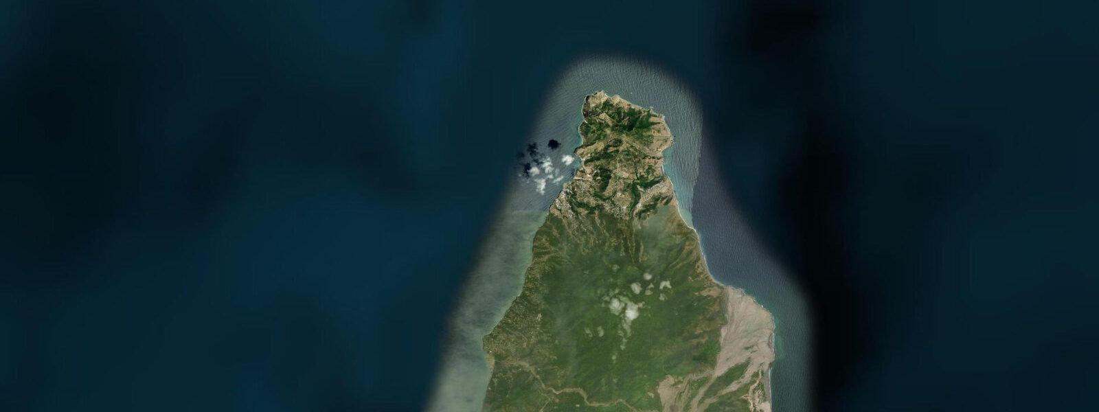
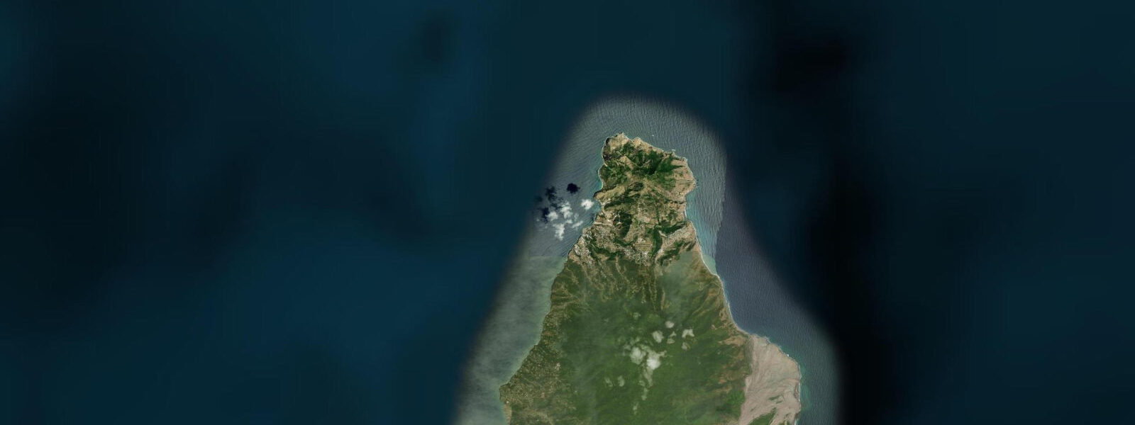
Woodlands Bay is a west-facing beach on Montserrat's leeward coast, approximately 5 kilometres south of Little Bay and north of the exclusion zone boundary. The bay is a quiet, dark volcanic sand beach — the andesitic and basaltic geology of the island produces the characteristic dark sand found throughout Montserrat's beaches in contrast to the white coral-sand beaches of the flat limestone islands to the north. The beach is backed by the vegetation of the Centre Hills, one of the island's primary forest areas, and the offshore reef is one of the most intact sections of the Montserrat west coast.
The tidal regime at Woodlands Bay is Caribbean mixed semidiurnal, spring range 0.3 to 0.5 metres — microtidal. The west-facing leeward coast is sheltered from the northeast Atlantic trades; the bay is calm in all but unusual weather conditions. Two unequal high tides and two unequal low tides per day. The small tidal range means the beach is swimmable and the reef is accessible for snorkelling across the full tidal cycle without meaningful state planning.
Woodlands Bay is one of the safest and most reliable beaches in northern Montserrat for general coastal access. The beach length is approximately 250 metres; a small parking area at the road end gives direct access. The Centre Hills forest behind the beach is habitat for the Montserrat oriole — a bright yellow and black bird endemic to the island and classified as critically endangered after the volcanic crisis reduced its forest habitat significantly. The bird is present in the Centre Hills; bird watchers making a specific trip to Montserrat typically combine the coast with a guided Centre Hills forest walk.
The reef directly offshore from Woodlands Bay is the most practically accessible snorkelling site on the north Montserrat coast. Entry is directly from the beach; the reef structure begins within 30 to 40 metres. Hawksbill turtles feed on the sea grass between the coral heads; green turtles are also present. The fish density on this reef is notably higher than most comparable Leeward Islands sites, reflecting the extremely low boat traffic and the absence of the commercial diving pressure that affects well-known sites in Antigua and Saint Kitts. The reef has not recovered uniformly from Hurricane Hugo in 1989 and subsequent storms, but the sections with structural integrity are excellent.
For the 2021 Montserrat volcanic monitoring updates: Woodlands Bay sits outside the exclusion zone, firmly in the accessible northern section of the island. The volcanic dome and the buried Plymouth are visible from elevated positions above the exclusion zone boundary, approximately 3 kilometres south of Woodlands. The beach itself has no direct view of the volcano; the Centre Hills forest ridge interrupts the sightline.
Swimming from Woodlands Bay is safe and calm in normal conditions. The beach has no facilities beyond the parking area and a small picnic table; bring your own supplies. The island's limited commercial infrastructure means this is a self-sufficient beach experience. Water quality is excellent; Montserrat's minimal coastal development means no significant coastal runoff.
Tide predictions for Woodlands Bay come from Open-Meteo Marine, a global gridded ocean model. Accuracy is typically within plus or minus 45 minutes on timing and 0.2 to 0.3 metres on height.
The Centre Hills are the primary habitat for Montserrat's extraordinary biological concentration: alongside the Montserrat oriole, the hills support three other endemic or highly restricted bird species — the Montserrat galliwasp (a lizard), the mountain chicken (actually a large frog, Leptodactylus fallax, listed as critically endangered), and the Montserrat ash snake. The mountain chicken population on Montserrat is one of the last viable populations of the species after chytrid fungus disease devastated the frog across its Caribbean range. Guided natural history walks in the Centre Hills above Woodlands Bay offer the best access to these species.
Tide questions about Woodlands Bay, Montserrat
Quick answers to the most common questions about tide times, range, and water access at Woodlands Bay, Montserrat.
What is the tide range at Woodlands Bay?
Caribbean microtidal — mixed semidiurnal, spring range 0.3 to 0.5 metres. The leeward west-facing coast is sheltered from the northeast trades; two unequal highs and two unequal lows per day. The small range means Woodlands Bay is accessible for swimming and snorkelling across the full tidal cycle without meaningful tide-state planning. Neap range is around 0.2 metres. Tide predictions come from Open-Meteo Marine — accuracy within plus or minus 45 minutes on timing and 0.2 to 0.3 metres on height.
Can I see sea turtles snorkelling at Woodlands Bay?
Yes, with reasonable reliability. Hawksbill turtles feed on the sea grass beds between the coral heads on the reef 30 to 40 metres from the beach. Green turtles are also present. The morning, before the trade wind develops any surface turbulence, is the clearest window for underwater visibility. Snorkelling encounters are more reliably turtle-free mid-afternoon on high-traffic dive days; at Woodlands Bay there are essentially no high-traffic dive days — this is one of the least-visited functional snorkel reefs in the Leeward Islands. Enter from the beach centre, swim out slowly, and stay near the surface for the best turtle approach without startling them.
What is the Montserrat oriole and can I see it here?
The Montserrat oriole is a critically endangered bird species endemic to Montserrat — found nowhere else on Earth. The adult male is bright yellow and glossy black; the female is olive-green. The species nests exclusively in the Centre Hills forest behind Woodlands Bay and the northern hills; the volcanic crisis reduced its habitat area significantly. Population estimates since the crisis stabilised at 500 to 800 individuals. Bird watchers visit specifically for this species. The Centre Hills forest is accessible by guided trail from Woodlands Bay; a local guide with knowledge of the current nesting areas significantly improves sighting probability. Contact the Montserrat Tourism Division for current guide contact information.
Is Woodlands Bay inside or outside the volcanic exclusion zone?
Woodlands Bay is safely outside the exclusion zone. The zone boundary is several kilometres to the south; Woodlands Bay is in the unrestricted northern section of Montserrat accessible without any permit or guide requirement. The volcano's dome and the buried Plymouth are not directly visible from the beach due to the Centre Hills ridge. The MVO publishes the current exclusion zone map on its website; the boundary has been stable in the northern configuration for several years but is subject to adjustment if volcanic activity increases. Always check the current MVO map before visiting Montserrat.
Is there anywhere to eat near Woodlands Bay?
Woodlands Bay has no beachside facilities. The beach parking area has no kiosks or vendors. For food and drink, the Lookout Bar and Restaurant above the bay on the Centre Hills road serves local food with views across the Caribbean; it is a short drive from the beach. Little Bay, 5 kilometres north, has the island's main commercial area with a restaurant and bar at the ferry terminal area. Brades, the administrative capital, is 3 kilometres north of Little Bay and has shops. Self-catering from Brades before your beach day is the most practical approach for a full day at Woodlands Bay.
7-day tide table — Woodlands Bay, Montserrat
Heights relative to MSL. Predictions: Open-Meteo Marine (MeteoFrance SMOC, 0.08° grid) — heights relative to MSL (not chart datum / LAT). Model-derived.
| Day | Type | Time | Height |
|---|---|---|---|
| Sat 04 Jul | Low | 12:00 | 0.2m |
| High | 21:00 | 0.4m | |
| Sun 05 Jul | — | ||
| Mon 06 Jul | — | ||
| Tue 07 Jul | — | ||
| Wed 08 Jul | Low | 06:00 | 0.2m |
| High | 20:50 | 0.4m | |
| Thu 09 Jul | — | ||
| Fri 10 Jul | Low | 07:10 | 0.1m |
| High | 19:00 | 0.4m | |