Herceg Novi tide times
Herceg Novi tide forecast — heights relative to MSL.
Today's tide times for Herceg Novi
Tide times at Herceg Novi on Sunday, 21 June 2026: first low tide at 03:10am. Sunrise 05:08am, sunset 08:26pm.
Tide chart for Herceg Novi
24-hour cosine-interpolated curve around the present moment. Heights relative to MSL. Predictions: Predictions: Open-Meteo Marine (MeteoFrance SMOC, 0.08° grid).
Sun, moon and conditions on Sun 21 Jun
Snapshot at build time — refreshes daily. Sea state from Open-Meteo Marine.
Highs and lows next 7 days
Every predicted high and low for the next week, with the daily tidal coefficient (0–120; higher = bigger swing, > 95 means stronger currents).
Other spots nearby
The three closest curated TideTurtle locations to Herceg Novi, measured by great-circle distance.
Today's solunar windows
Solunar tradition: major periods are the ≈3h windows around moon transit and opposition; minor are ≈2h around moonrise and moonset. Pair with the local tide stage and wind for the best read.
About tides at Herceg Novi
A short guide to the coastline at Herceg Novi — geography, sea state, and what the tide is actually doing under your feet.
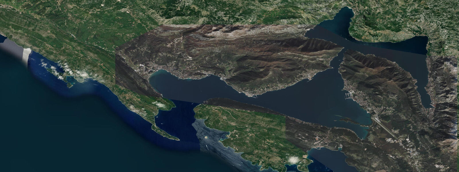
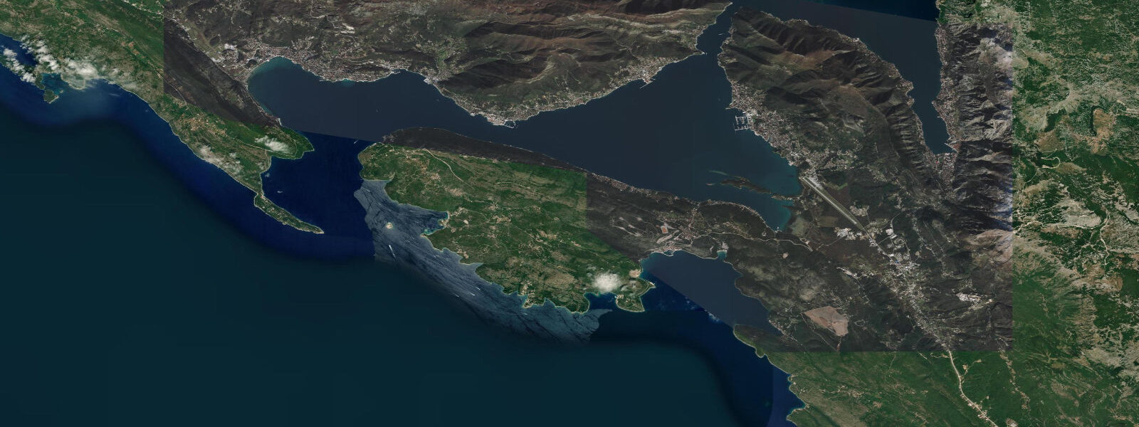
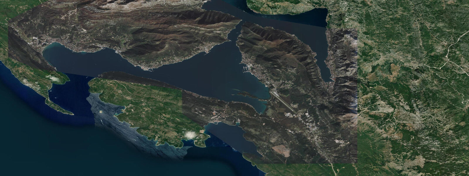
Herceg Novi stands at the outer entrance of the Bay of Kotor, on a steep hillside where the bay meets the open Adriatic approach and the Orjen massif rises directly behind the town to 1,894 metres — the highest peak in the Dinaric Alps facing the sea. The position makes Herceg Novi simultaneously the most Adriatic-exposed town in the Boka system and the one most directly shadowed by the mountain wall above it. The town's layered fortresses tell the history of the bay's contested ownership: the Kanli Kula (Bloody Tower, Ottoman, 16th century) crowns the upper hillside, the Forte Mare sits on the waterfront at the sea entrance, and the Citadela occupies the cliffside between them.
The Venetian clock tower on the Herceg Novi main square is the town's most recognisable landmark. The tidal range at Herceg Novi is the largest in the Bay of Kotor system, because this is the point where the Adriatic tide enters the bay before being attenuated by the Verige Strait and the long inland fetch to Kotor. 55 metres, following the semidiurnal Adriatic pattern with two highs and two lows of roughly equal size per day.
The Croatian Hydrographic Institute (HHI) harmonic data for the outer bay entrance serves as the regional reference; the signal at Herceg Novi is closely comparable to Split and Dubrovnik on the Croatian coast. The jugo makes itself felt most dramatically here at the bay entrance. When a sustained south-easterly runs for two or more days, the sea surface rises against the open outer bay; the Forte Mare waterfront and the lower steps down to the water are the first to show the elevated level.
A jugo surge of 40 to 70 centimetres is possible during the strongest events in autumn and early winter. The Orjen massif behind the town traps moisture from the Adriatic and creates one of the wettest microclimates in Europe — the upper elevations receive over 5,000 mm of precipitation per year. The moisture descending through the scrub and spring water to the coastal zone supports an unusual density of hydrangea (locally called hortenzia) along the Herceg Novi promenade, which blooms from May to October in colours that range from white through pale blue to deep indigo depending on soil pH.
The town promenade runs the length of the lower seafront from the Forte Mare to the Igalo spa area 3 kilometres west. Igalo is separately known for therapeutic peloid mud treatments; the Igalo Institute draws guests from across the former Yugoslav region for respiratory and musculoskeletal therapies using the bay-bottom mud. The institute was founded in the Yugoslav socialist period and built a reputation across the Eastern Bloc countries before 1990; it remains operational with a mix of long-stay residential programmes and short-stay individual treatments available on request.
The seawater at Herceg Novi has the best circulation of any point in the Boka, exchanging freely with the outer Adriatic; water clarity and salinity are higher here than at Kotor or Risan. Summer water temperature at the surface reaches 25 to 27°C. Snorkelling from the rocky points around the Forte Mare offers clear-water viewing of sea bass, bream, and octopus on the limestone substrate.
The Forte Mare and Citadela are open to visitors on most days; the Forte Mare hosts occasional summer concerts with the bay as a backdrop. The annual Herceg Novi Film Festival takes place in late August, using the outdoor spaces of the fortresses and the main square as screening venues. Shore anglers work the outer breakwater and the stone steps below the Forte Mare for sea bream and sea bass on the incoming tide.
Predictions on this page come from Open-Meteo Marine, a gridded global ocean model. 3 metres on height — a meaningful fraction of the Adriatic's small tidal signal. The Croatian Hydrographic Institute (HHI) provides the authoritative harmonic reference for this section of the eastern Adriatic.
Tide questions about Herceg Novi
Quick answers to the most common questions about tide times, range, and water access at Herceg Novi.
When is the next high tide at Herceg Novi?
The hero block at the top of this page shows the next predicted high at Herceg Novi in local Central European Time (CET/CEST, UTC+1/UTC+2). Spring tidal range here is approximately 0.4 to 0.55 metres — the largest in the Bay of Kotor because this is the bay's Adriatic entrance, where the tidal signal is strongest before it attenuates inland through the Verige Strait. The two daily highs and two lows are of roughly equal size. The Croatian Hydrographic Institute (HHI) provides the authoritative harmonic reference for the eastern Adriatic; their data for the outer Boka entrance is closely correlated to the model output shown on this page.
Why are there so many hydrangeas along the Herceg Novi promenade?
The Orjen massif immediately behind Herceg Novi is one of the wettest places in Europe — the upper massif receives over 5,000 millimetres of rainfall per year, among the highest figures on the European mainland. Moisture-laden Adriatic air rises rapidly against the Dinaric limestone wall, cools, and precipitates; the resulting runoff saturates the coastal hillside soils and maintains the consistent moisture and slightly acidic pH that hydrangeas require for dense, blue-toned flowering. The coastal zone benefits from the same moisture regime moderated by the mild Adriatic maritime temperature, allowing the hortenzia to flower from May through October — an unusually long season compared with more continental European settings.
What is the Igalo mud therapy and when is it available?
The Igalo Institute, 3 kilometres west of Herceg Novi's old town, uses peloid mud extracted from the Igalo bay floor for therapeutic treatments targeting musculoskeletal and respiratory conditions. The mud is rich in organic matter and sulphur compounds from the bay-bottom sediment. Treatment programmes run year-round; individual sessions can be booked outside of the multi-week residential programmes, though availability for short-stay guests is better outside July and August. The tidal range in the Igalo bay is the same as at Herceg Novi — approximately 0.4 to 0.55 metres spring — but the bay's gentle slope makes the mud extraction accessible independent of the tide state.
Is the Forte Mare area safe to fish from?
Shore fishing from the stone steps and the outer breakwater near the Forte Mare is a long-standing local practice. The target species are sea bream (Sparus aurata, Diplodus spp.), sea bass (Dicentrarchus labrax), and mullet working the rock edges. The incoming tide — the flood from low toward high — is the traditional window, typically producing more active fish movement over the limestone substrate. The outer steps below the Forte Mare expose more rock as the tide drops, giving casters a lower platform at low water. A sustained jugo produces elevated sea-state and wave splash even in the bay; during strong jugo events the lower steps become unsafe and fishing should move to more sheltered ground.
Where do these tide predictions come from?
Open-Meteo Marine, a free gridded global ocean model. The model estimates tidal height from oceanographic equations applied across a geographic grid. Accuracy is typically within plus or minus 45 minutes on timing and 0.2 to 0.3 metres on height. At Herceg Novi, where spring range is 0.4 to 0.55 metres, that uncertainty covers a significant portion of the total astronomical signal. The Croatian Hydrographic Institute (HHI) provides the authoritative harmonic reference for the eastern Adriatic and the outer Bay of Kotor; for any activity that depends on precise water level, their published data is the appropriate source. This page is not suitable for navigation.
8-day tide table — Herceg Novi
Heights relative to MSL. Predictions: Open-Meteo Marine (MeteoFrance SMOC, 0.08° grid) — heights relative to MSL (not chart datum / LAT). Model-derived.
| Day | Type | Time | Height |
|---|---|---|---|
| Sun 21 Jun | Low | 03:10 | -0.7m |
| Mon 22 Jun | — | ||
| Tue 23 Jun | — | ||
| Wed 24 Jun | — | ||
| Thu 25 Jun | High | 14:10 | -0.4m |
| Low | 21:00 | -0.6m | |
| Fri 26 Jun | — | ||
| Sat 27 Jun | High | 03:00 | -0.5m |
| Low | 08:10 | -0.6m | |
| High | 15:10 | -0.3m | |
| Low | 22:10 | -0.6m | |
| Sun 28 Jun | High | 01:00 | -0.5m |