Isla Mujeres, Yucatán tide times
Isla Mujeres, Yucatán tide forecast — heights relative to MSL.
Tide chart for Isla Mujeres, Yucatán
24-hour cosine-interpolated curve around the present moment. Heights relative to MSL. Predictions: Predictions: Open-Meteo Marine (MeteoFrance SMOC, 0.08° grid).
Sun, moon and conditions on Fri 19 Jun
Snapshot at build time — refreshes daily. Sea state from Open-Meteo Marine.
Highs and lows next 7 days
Every predicted high and low for the next week, with the daily tidal coefficient (0–120; higher = bigger swing, > 95 means stronger currents).
Other spots nearby
The three closest curated TideTurtle locations to Isla Mujeres, Yucatán, measured by great-circle distance.
Today's solunar windows
Solunar tradition: major periods are the ≈3h windows around moon transit and opposition; minor are ≈2h around moonrise and moonset. Pair with the local tide stage and wind for the best read.
About tides at Isla Mujeres, Yucatán
A short guide to the coastline at Isla Mujeres, Yucatán — geography, sea state, and what the tide is actually doing under your feet.
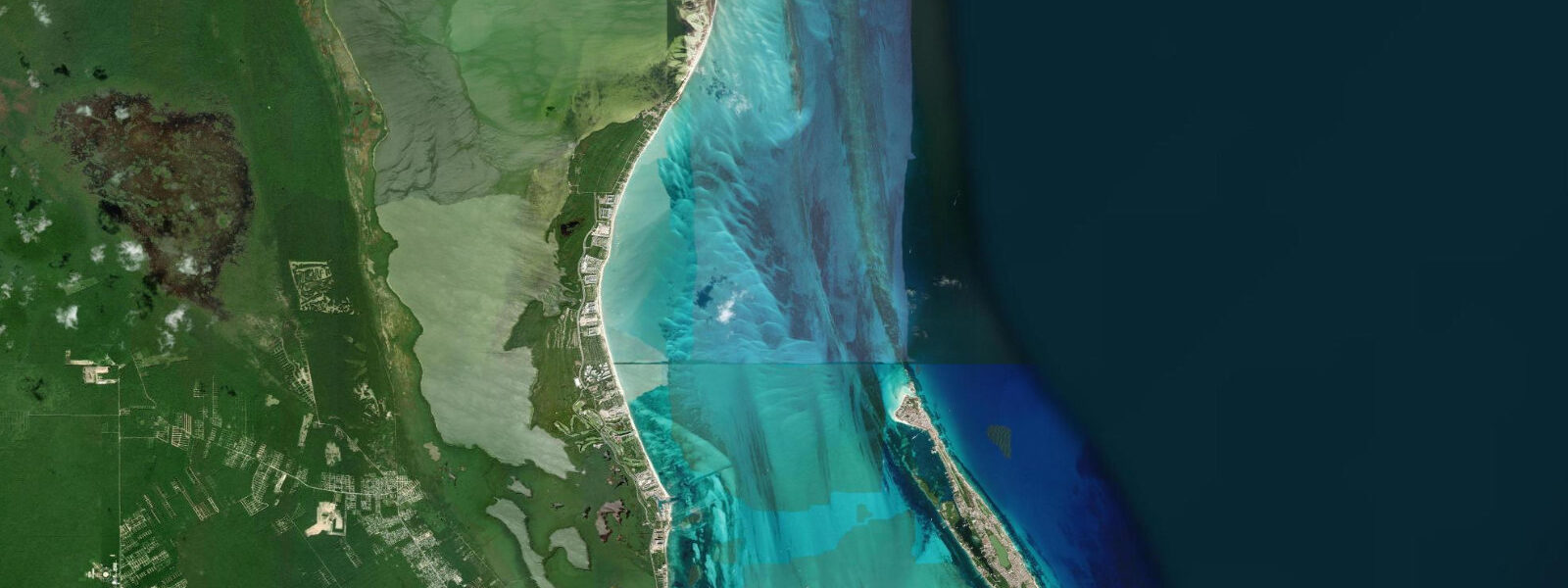
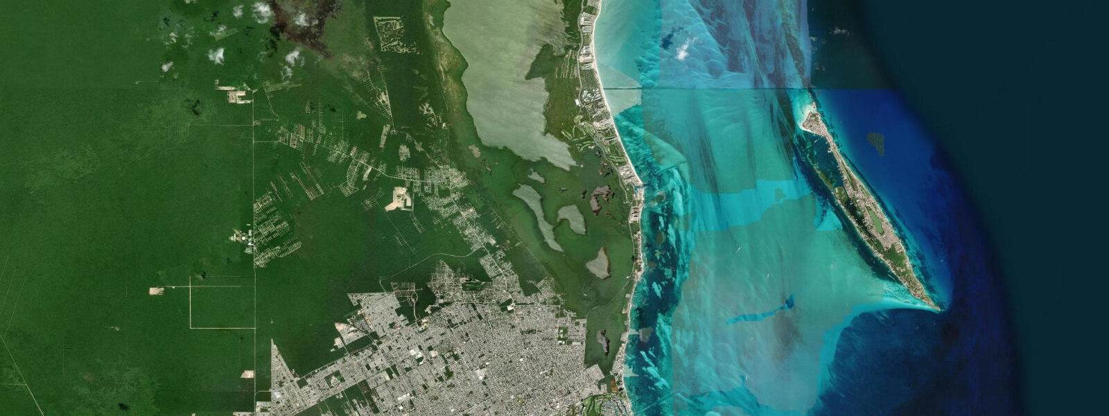
Isla Mujeres is a narrow limestone island 13 km northeast of Cancún, 7 km long and at its widest barely 650 m across. The island splits two entirely different water environments: the western shore faces the sheltered Bahía de Mujeres, calm and clear, turquoise in the way Caribbean postcards promise; the eastern shore faces the open Caribbean with the full strength of the northeast trade winds generating a consistent rolling swell against the ironshore rock.
The Caribbean is one of the world's most microtidal seas. At Isla Mujeres, the mean spring tidal range is 0.2–0.4 m — small enough that casual visitors rarely notice the tide at all. There are two tidal cycles per day, but the inequality between them and the shallow overall range mean that the water appears to most people as simply calm or rough depending on wind and swell, not rising and falling with any drama. The exceptions are the inshore reef zones and the narrow channel between the island and the Yucatan Peninsula mainland to the west.
The channel that separates Isla Mujeres from the peninsula coast focuses the tidal exchange for the Bahía de Mujeres. On the flood tide, water moves north through this channel; on the ebb, it runs south. The current is perceptible rather than powerful — in the 0.5–1.0 knot range — but snorkellers in the zone near El Garrafón National Park on the southern tip of the island notice it as a directional pull. Divers are advised to plan their entry and exit on the ebb current near Punta Sur, using the south-running flow to return to the boat rather than swimming against it.
El Garrafón National Park occupies the southern tip reef system. The reef here is partly degraded from hurricane damage and visitor pressure over the years but remains a functional snorkelling site with parrotfish, sergeant majors, and the occasional nurse shark resting in the channels between coral heads. The park operates glass-bottom boat tours alongside the snorkelling programme. The tidal change is small enough that the timing of a visit matters far less here than at temperate reefs — water clarity is governed more by wind direction and recent storms than by tidal stage.
Punta Sur, the southernmost point of Isla Mujeres, is also technically the easternmost point of Mexico. The lighthouse at Punta Sur marks a rocky promontory where the Caribbean swell wraps around the tip and meets water from the channel — a confused, irregular sea that is interesting to watch from the cliffs but not somewhere to swim. The sculpture garden at Punta Sur, built among the ironshore rock, is accessible on foot via a path from the road.
The MUSA (Museo Subacuático de Arte) underwater sculpture museum has installations at 4–8 m depth in two sites: one off the western shore near Isla Mujeres and one off Cancún. The installations are visited by snorkellers in the shallower sections and by scuba divers throughout. Statues of cast-iron figures populate the seabed in formations designed to attract coral growth — and after 15 years of submersion, the colonisation is substantial. The tidal range at MUSA is small enough to be irrelevant to dive planning; visibility and current — which tracks the tidal exchange in the channel — are the key variables. The best visibility typically occurs during the dry season, November through April.
Sea turtle nesting on Isla Mujeres runs from May through September, with green and loggerhead turtles using the northern beaches. The low tidal range means nesting turtles encounter relatively stable beach conditions compared to higher-tidal coasts; females select nest sites based on sand temperature and moisture rather than tidal history. Conservation volunteers patrol the northern beaches from dusk through midnight during nesting season. Visitors are permitted to observe at a distance from designated viewpoints.
Whaleshark aggregation season runs June through September, centred on a zone called Afuera approximately 35 km northeast of Isla Mujeres. The whale sharks gather in surface waters where gulf-stream upwelling concentrates fish eggs, primarily from little tunny spawning. Tour boats depart from Isla Mujeres and Cancún from early morning. On the boat ride out, the tidal stage determines whether the departure from the island's dock is at low ramp angle or high; the aggregation zone itself is open ocean and irrelevant to tidal planning.
Isla Mujeres has no cars for most visitors — golf carts and bicycles are the standard transport, available for rent from dozens of outlets on the main avenue. The ferry crossing from Puerto Juárez in Cancún takes 15–20 minutes on the passenger ferry and the calm of the Bahía de Mujeres makes it comfortable at any tidal stage throughout the year.
Tide data for Isla Mujeres, Yucatán comes from the Open-Meteo Marine API, a gridded model product. Timing accuracy is ±45 minutes, height accuracy ±0.3 m — usable for trip planning, not for navigation.
Tide questions about Isla Mujeres, Yucatán
Quick answers to the most common questions about tide times, range, and water access at Isla Mujeres, Yucatán.
What is the tidal range at Isla Mujeres and does it affect beach conditions?
The tidal range at Isla Mujeres is 0.2–0.4 m on spring tides — among the smallest tidal ranges in the Caribbean and tropics generally. Two tidal cycles run per day, but the vertical movement is so small that most visitors do not notice any meaningful change in water depth or beach width throughout the day. Beach conditions at Isla Mujeres are governed far more by wind direction — northers in winter can push water against the western shore and increase chop in the bahía — and by swell from the northeast than by tidal stage. The main practical effect of the small tidal variation is a slight change in the current direction through the channel between the island and the mainland coast.
When does the whale shark season run and how do you join a tour?
Whale shark aggregation season near Isla Mujeres runs from June through September, peaking in July and August. The sharks gather at a surface feeding zone called Afuera, roughly 35 km northeast of the island, where spawning little tunny concentrate fish eggs that the whale sharks filter-feed. Tour operators depart from Isla Mujeres and from Cancún's Hotel Zone daily during the season, typically at 07:00–08:00. Tours are limited to six swimmers per whale shark at any moment by Mexican marine regulation. Book directly with certified operators — CONANP licences are required and capped. Morning departures are recommended; afternoon sea conditions northeast of the island often become choppy with the trade wind build.
How does the tidal current affect snorkelling at El Garrafón and MUSA?
El Garrafón National Park at the southern tip of Isla Mujeres sits near the narrows between the island and the mainland. The tidal exchange through this channel produces a perceptible current of 0.5–1.0 knots, directional with the tide — northbound on the flood, southbound on the ebb. Snorkellers in the shallow reef zone will notice being pushed gently in one direction. Experienced snorkellers can use the ebb current to drift south along the reef with minimal effort, then exit before the current rounds Punta Sur. At MUSA, which sits on the calmer western side of the island, the current is lighter and the tidal effect on diving conditions is minimal — plan by visibility forecast, not by tidal stage.
When do sea turtles nest on Isla Mujeres and can visitors watch?
Sea turtle nesting on Isla Mujeres runs May through September, with green turtles and loggerheads using the northern beaches. Nesting occurs at night, typically between 21:00 and 02:00. Conservation volunteers from the local turtle protection programme patrol the beaches and can guide visitors to observation positions at a safe distance — usually 10–15 m from the nesting female — without lights or flash photography. The low tidal range means the beach profile stays relatively consistent throughout the night, so nesting turtles are not timing their emergence to tidal windows as they would on higher-tidal coasts. Contact the isla's turtle programme through the town hall (presidencia municipal) for current access rules each season.
What is the ferry crossing from Cancún like and does it run at all tidal stages?
The passenger ferry from Puerto Juárez in Cancún to Isla Mujeres takes 15–20 minutes across the Bahía de Mujeres. The crossing operates at all tidal stages year-round — the small tidal range (0.2–0.4 m) produces no meaningful wave height change in the bahía, and the floating docks at both terminals adjust to the water level. The only conditions that affect the crossing are strong norther winds (nortes), which blow from the north between November and March and can generate 0.5–1.0 m chop in the bay. Crossings still run in all but extreme norte conditions, but the ride becomes noticeably rougher. The last ferry back from Isla Mujeres to Puerto Juárez departs around 23:00; check the current schedule with the operator as it adjusts seasonally.
7-day tide table — Isla Mujeres, Yucatán
Heights relative to MSL. Predictions: Open-Meteo Marine (MeteoFrance SMOC, 0.08° grid) — heights relative to MSL (not chart datum / LAT). Model-derived.
| Day | Type | Time | Height |
|---|---|---|---|
| Fri 19 Jun | — | ||
| Sat 20 Jun | Low | 07:00 | -0.2m |
| Sun 21 Jun | High | 15:00 | -0.1m |
| Mon 22 Jun | Low | 09:50 | -0.3m |
| High | 16:00 | -0.1m | |
| Tue 23 Jun | Low | 11:00 | -0.3m |
| Wed 24 Jun | High | 05:00 | -0.1m |
| Low | 11:50 | -0.3m | |
| Thu 25 Jun | High | 05:50 | -0.1m |