Cancún tide times
Cancún tide forecast — heights relative to MSL.
Today's tide times for Cancún
Tide times at Cancún on Thursday, 30 July 2026: first low tide at 18:00. Sunrise 05:20, sunset 18:27.
Tide chart for Cancún
24-hour cosine-interpolated curve around the present moment. Heights relative to MSL. Predictions: Predictions: Open-Meteo Marine (MeteoFrance SMOC, 0.08° grid).
Sun, moon and conditions on Thu 30 Jul
Snapshot at build time — refreshes daily. Sea state from Open-Meteo Marine.
Highs and lows next 7 days
Every predicted high and low for the next week, with the daily tidal coefficient (0–120; higher = bigger swing, > 95 means stronger currents).
Other spots nearby
The three closest curated TideTurtle locations to Cancún, measured by great-circle distance.
Today's solunar windows
Solunar tradition: major periods are the ≈3h windows around moon transit and opposition; minor are ≈2h around moonrise and moonset. Pair with the local tide stage and wind for the best read.
About tides at Cancún
A short guide to the coastline at Cancún — geography, sea state, and what the tide is actually doing under your feet.
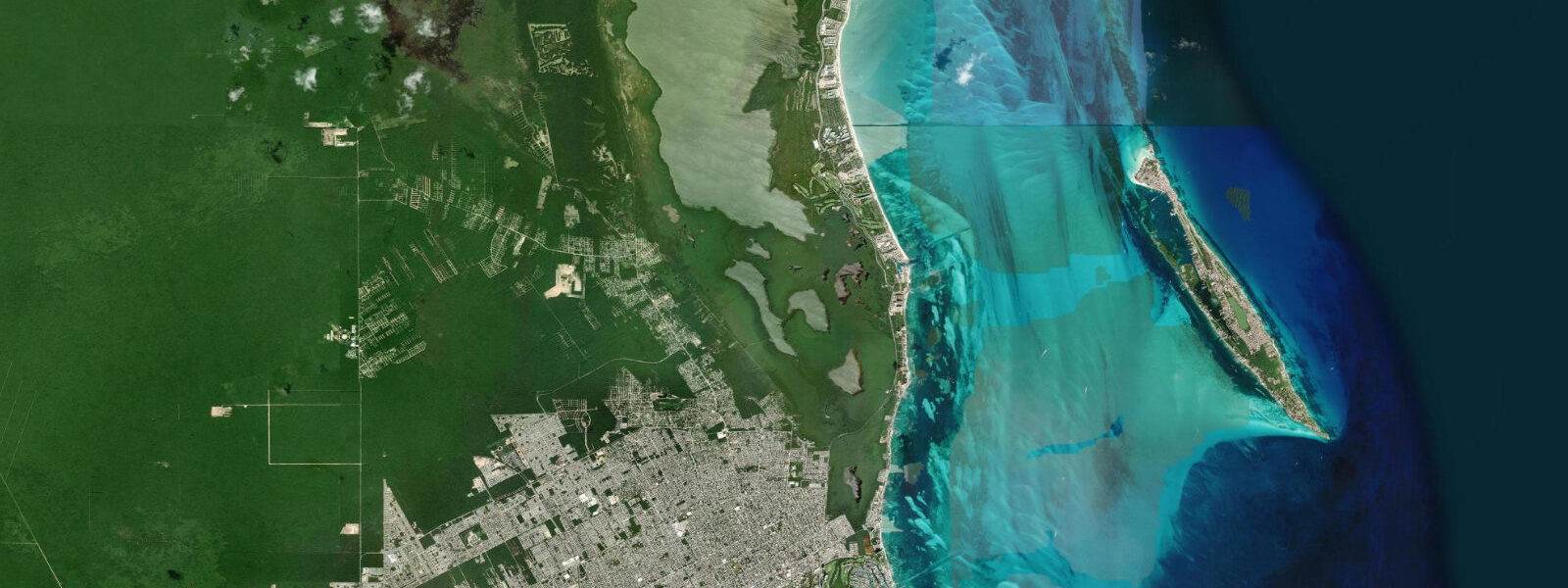
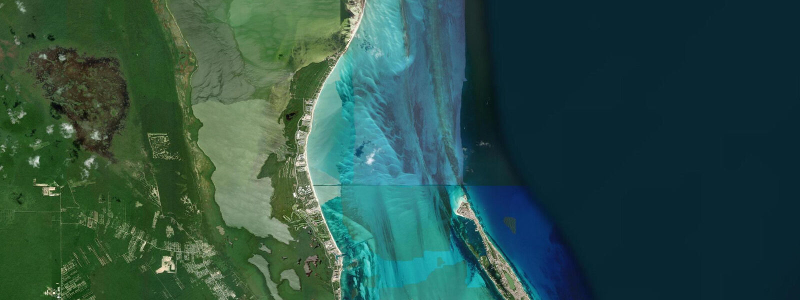
Cancún sits at the northeast corner of the Yucatan Peninsula on a narrow sandspit — the Hotel Zone — that separates Nichupté Lagoon from the Caribbean Sea. The sandspit is roughly 25 kilometres long and nowhere more than a few hundred metres wide, with the high-rise hotels facing east onto the Caribbean and the marina and lagoon docks on the sheltered western side. The geography sets up the basic split that governs how tides, current, and weather play out here: the Caribbean face is exposed, the lagoon side is not, and the two are in almost no tidal communication at all.
On the Caribbean side, the astronomical tide is 0.2 to 0.3 metres on a typical day — genuinely negligible. The water column at Playa Delfines or Playa Chac Mool does not move up and down in the way a visitor from a British or Breton coast would expect. What does move the waterline here is swell height, wind direction, and storm surge. A 1.5-metre Caribbean swell on a northeast wind will push the wave run-up significantly higher on the beach than any astronomical high tide would. The practical implication: checking the tide table tells you almost nothing about where the water will be at Playa Gaviota Azul at 2 pm on a given afternoon. Checking the wind and wave forecast tells you considerably more.
The offshore reef system changes everything for snorkellers and divers. The Mesoamerican Reef — the second-longest barrier reef in the world — runs roughly parallel to the Cancún coast, about 20 to 30 kilometres offshore in the northern section and closer in further south toward Playa del Carmen and Tulum. The inner reef and patch reefs between the barrier and the shore create a calmer, shallower lagoon zone. Snorkelling at Punta Nizuc, the southern tip of the Hotel Zone where the reef comes closest to shore, is typically best during slack water — the shift between the weak incoming and outgoing Caribbean tidal current — when the water clarity peaks and the current is not pushing swimmers off the reef edge. The tidal current here, though generated by a small range, is still perceptible enough to matter when snorkelling in confined passages between coral heads.
Nichupté Lagoon is a different system entirely. It has essentially no tidal exchange with the open Caribbean. The water level in the lagoon responds to rainfall events, wind setup, and evaporation — not to the Moon's position. Kayakers and SUP riders on the lagoon can ignore the tide table completely. The lagoon's value is its calm water and mangrove shoreline; the access channels between lagoon and sea are controlled by the causeway bridges, and the exchange through those channels is minimal.
The cenotes — sinkholes and cave pools in the limestone karst — are fully decoupled from ocean tides. The cenote water table reflects the regional aquifer, which fluctuates with seasonal rainfall, not with tidal cycles. Cenotes at Kantun Chi, Dos Ojos, or the Gran Cenote near Tulum are swimming and diving sites where the tide table is irrelevant; visibility depends on weather (heavy rain turns the freshwater layer turbid) and on season.
Hurricane season runs June through November. Storm surge is the dominant coastal forcing event of any magnitude — a direct hurricane landfall produces sea-level rise of several metres above the normal waterline, which on this microtidal coast means the storm surge alone is ten to twenty times the normal tidal range. The Hotel Zone sandspit took catastrophic storm damage during Hurricane Wilma in 2005. The beach itself has been substantially rebuilt since, including beach nourishment projects to restore sand width.
Sargassum is an increasingly significant seasonal variable. From roughly March through August — with year-to-year variation — mats of pelagic Sargassum seaweed carried by the North Equatorial Current beach on the Caribbean coast. On heavy sargassum days, the open sea beaches carry a line of washed-up, decomposing weed that affects swimming and snorkelling. The southern Hotel Zone beaches and beaches further south at Playa del Carmen tend to receive heavier loadings; the northern Hotel Zone nearer downtown Cancún is sometimes cleaner, depending on current direction.
Fishing in the Cancún area is primarily offshore: blue marlin, sailfish, mahi-mahi, and wahoo in the open Caribbean, worked from the marina at Puerto Juárez or from operators along the Hotel Zone lagoon docks. Inshore, the lagoon channels hold snook, tarpon, and permit — species that respond to tidal flow even in a near-tideless system, moving on the weak ebb and flood through the mangrove channels. The best inshore fishing here is at first light, on whatever minimal tidal movement exists, in the quieter northern sections of the lagoon away from the marina traffic.
The tide predictions on this page are from Open-Meteo Marine, a gridded global ocean model. Accuracy is typically within plus or minus 45 minutes on timing and 0.2 to 0.3 metres on height — model-derived, not a local gauge. At Cancún, where the total tidal range is itself only 0.2 to 0.3 metres, these uncertainty margins span the entire tide. Use the predictions for orientation, not precision. Mexico's SEMAR (Secretaría de Marina) publishes official tide tables for Mexican ports including Cancún.
Tide questions about Cancún
Quick answers to the most common questions about tide times, range, and water access at Cancún.
What is the tide range at Cancún?
Mean tidal range at Cancún is approximately 0.2 to 0.3 metres — genuinely microtidal. The Caribbean Sea is a semi-enclosed basin separated from the open Atlantic by island arcs, and the restricted tidal forcing produces a very small astronomical tide. Spring tides around new and full moons push the range toward 0.4 metres at most; neap tides compress it toward 0.1 to 0.15 metres. In practical terms, the astronomical tide does not meaningfully alter the waterline at Cancún's beaches. What moves the shoreline day to day is swell height and wind direction. A 1.5-metre northeast swell will change the wave run-up far more than any tidal state.
Does the tide affect snorkelling at the Cancún reef?
Reef snorkelling in the Cancún area — at Punta Nizuc, Isla Mujeres, or the Garrafon reef — is most practical at slack water, the brief period around the turn of the tide when the weak tidal current is minimal. Even though the tidal range is small, the current that flows in and out of the passages between coral heads is perceptible enough to affect swimmers and to stir up fine sediment, reducing visibility. Slack water corresponds to the predicted high or low tide time, typically within 15 to 30 minutes either side. Water clarity is generally best in morning before sea breeze sets in. Heavy rain events degrade visibility for 24 to 48 hours as runoff reaches the coast.
Do tides affect Nichupté Lagoon?
Nichupté Lagoon has essentially no tidal signal. The lagoon sits behind the Hotel Zone sandspit and its connections to the open Caribbean through the causeways are too restricted to allow meaningful tidal exchange. Water level in the lagoon is driven by rainfall, evaporation, and wind setup — not by the astronomical tide. Kayakers, paddleboarders, and kitesurfers on the lagoon can ignore the tide table entirely. The calm water and mangrove-lined shoreline are the draw; tidal state has no bearing on conditions.
When is sargassum worst at Cancún beaches?
Sargassum typically arrives on the Caribbean coast of the Yucatan from roughly March through August, with peak landings often in June and July, though year-to-year intensity varies considerably. The seaweed is carried from offshore accumulation zones in the central Atlantic by the North Equatorial Current. South-facing and southeast-facing beaches tend to receive heavier loadings; north-facing sections of the Hotel Zone and beaches north of Cancún toward Isla Mujeres are sometimes cleaner depending on current direction. Sargassum does not follow the tide — it arrives in pulses driven by offshore current patterns and wind.
Where do the Cancún tide predictions come from, and how reliable are they?
Predictions on this page come from Open-Meteo Marine, a gridded global ocean model — model-derived, not a local gauge. Accuracy is typically within plus or minus 45 minutes on timing and 0.2 to 0.3 metres on height. At Cancún, where the total tidal range is itself only 0.2 to 0.3 metres, those uncertainty margins span the entire tide range. The predictions are useful for knowing when high and low water fall in the day, but the absolute height figures carry wide relative uncertainty. For authoritative data, Mexico's Secretaría de Marina (SEMAR) publishes official tide predictions for Mexican coastal ports.
8-day tide table — Cancún
Heights relative to MSL. Predictions: Open-Meteo Marine (MeteoFrance SMOC, 0.08° grid) — heights relative to MSL (not chart datum / LAT). Model-derived.
| Day | Type | Time | Height |
|---|---|---|---|
| Thu 30 Jul | Low | 18:00 | -0.2m |
| Fri 31 Jul | High | 09:00 | -0.1m |
| Sat 01 Aug | Low | 03:00 | -0.3m |
| Sun 02 Aug | High | 22:10 | -0.1m |
| Mon 03 Aug | Low | 05:00 | -0.2m |
| Tue 04 Aug | High | 12:50 | -0.1m |
| Wed 05 Aug | Low | 08:00 | -0.3m |
| Thu 06 Aug | High | 02:00 | -0.1m |
| Low | 17:00 | -0.2m |