Blue Bay tide times
Blue Bay tide forecast — heights relative to MSL.
Today's tide times for Blue Bay
Tide times at Blue Bay on Sunday, 21 June 2026: first high tide at 04:00am, first low tide at 10:45am, second high tide at 05:06pm, second low tide at 11:18pm. Sunrise 06:43am, sunset 05:37pm.
Tide chart for Blue Bay
24-hour cosine-interpolated curve around the present moment. Heights relative to MSL. Predictions: Predictions: Open-Meteo Marine (MeteoFrance SMOC, 0.08° grid).
Sun, moon and conditions on Sun 21 Jun
Snapshot at build time — refreshes daily. Sea state from Open-Meteo Marine.
Highs and lows next 7 days
Every predicted high and low for the next week, with the daily tidal coefficient (0–120; higher = bigger swing, > 95 means stronger currents).
Other spots nearby
The three closest curated TideTurtle locations to Blue Bay, measured by great-circle distance.
Today's solunar windows
Solunar tradition: major periods are the ≈3h windows around moon transit and opposition; minor are ≈2h around moonrise and moonset. Pair with the local tide stage and wind for the best read.
About tides at Blue Bay
A short guide to the coastline at Blue Bay — geography, sea state, and what the tide is actually doing under your feet.
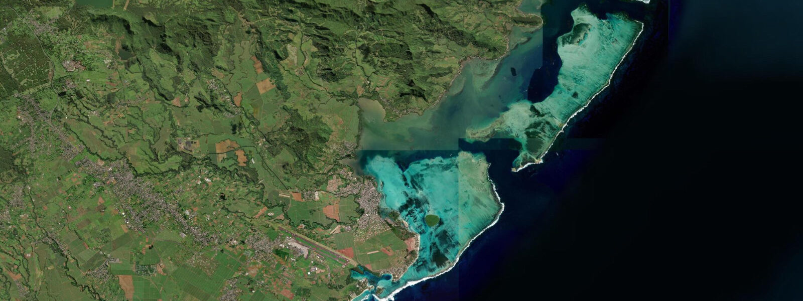
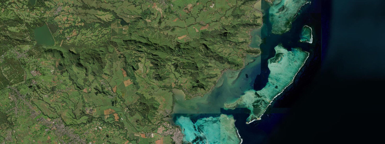
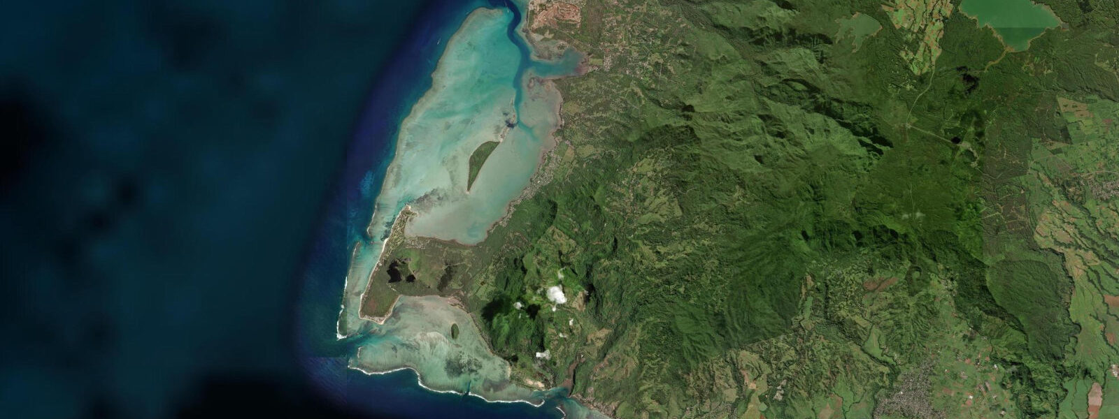
Blue Bay Marine Park covers roughly 0.35 km² of coral reef on the southeastern coast of Mauritius, enclosed within the barrier reef in a bay that opens northeast. The coral coverage inside the park — hard and soft corals with over 50 recorded species — is among the densest in the Mascarene region, and the fish biomass within the protected boundary is substantially higher than the surrounding reefs. The park was gazetted in 2000 under the Fisheries and Marine Resources Act; entry requires a permit issued at the park office on the public beach.
The tidal regime is semidiurnal, with spring range 0.8–1.0 m following the Port Louis gauge. Neap range 0.3–0.5 m. The bay is enclosed by the outer reef and substantially protected from Indian Ocean swell; however, the southeastern exposure means that swell from the south and southeast, generated by the Roaring Forties, wraps through the reef passes during large Southern Ocean events. The lagoon depth inside Blue Bay ranges from 1 m over the reef flat at low water to 3–4 m in the channels; the deeper zones at mean water level are 2–4 m.
The tidal state is the primary determinant of snorkelling quality at Blue Bay. At high water (spring range 0.8–1.0 m), the reef flat is covered to 0.8–1.5 m and accessible across its full width; the corals are submerged and the fish communities are distributed across the whole reef rather than concentrated in the deeper channels. At low spring water, the shallowest sections of the reef flat — primarily the broad platform that runs across the western half of the park — can be as shallow as 0.1–0.3 m. Crossing this section at low water risks damaging the coral and injuring unprotected feet on the coral surface. The Marine Park Authority enforces a no-standing-on-coral rule; rangers operate glass-bottom boats within the park and observe.
Glass-bottom boat tours inside the marine park depart from the park's boat ramp on the public beach approximately every 30–45 minutes from 09:00 to 15:30. The standard tour covers the main coral garden in the western section of the park and a mooring area where snorkellers can enter the water. A park entry permit (fee at the gate, approximately MUR 200 per adult as of 2025) is required for all visitors, including glass-bottom boat passengers. Independent snorkelling from the beach directly into the park is permitted but requires the permit.
Blue Bay public beach sits adjacent to the marine park, 400 m of white sand facing the lagoon with casuarina shade trees. The beach is managed by the local district council (Savanne district). Sir Seewoosagur Ramgoolam International Airport is 8 km northwest; aircraft on final approach to runway 14 pass low over the southern lagoon on a track that crosses the park boundary at roughly 300 m altitude. Aircraft noise at Blue Bay during peak hours (10:00–14:00 on heavy-traffic days) is a consistent feature. For beach-based photography from the Blue Bay side, aircraft can be incorporated into the frame — or avoided by timing shots between approach intervals.
For anglers, the marine park boundary enforces a complete fishing prohibition inside. Shore anglers fishing the open lagoon south of Blue Bay, outside the park boundary, work the channels through the southern reef for barracuda and trevally on the early morning ebb. The low-water period exposes the reef flat and concentrates fish in the remaining water-filled channels — the 90-minute window from two hours before low water through the lowest point has the most concentrated fish activity in the channels.
Snorkellers based at the public beach should enter and exit through the clearly marked park entry point rather than walking across the reef flat in search of deeper water. The sandy entry channel from the beach to the deeper coral zone is indicated by buoys; following it at any tidal state avoids both coral damage and the ankle injuries that result from stepping on submerged coral at low water.
Predictions for Blue Bay on this page come from Open-Meteo Marine, a gridded global ocean model; accuracy is typically ±45 minutes on timing and ±0.2–0.3 m on height.
Tide questions about Blue Bay
Quick answers to the most common questions about tide times, range, and water access at Blue Bay.
What is the best tidal state for snorkelling at Blue Bay Marine Park?
High water and the rising tide approaching high give the best snorkelling conditions at Blue Bay. At high spring water (spring range 0.8–1.0 m) the reef flat is covered to 0.8–1.5 m across its full width, the corals are submerged and accessible without risk of contact, and the fish communities are distributed across the reef rather than concentrated in the deeper channels. At low spring water, the shallow western reef flat can be 0.1–0.3 m deep — walking across it risks coral damage and injury. The Marine Park Authority enforces a no-standing-on-coral rule and rangers on glass-bottom boats observe compliance inside the park. Enter via the marked buoyed channel from the public beach regardless of tidal state.
Do I need a permit to enter Blue Bay Marine Park?
Yes. A park entry permit is required for all visitors to Blue Bay Marine Park — snorkellers, swimmers, and glass-bottom boat passengers. The permit fee was approximately MUR 200 per adult (around EUR 4 / USD 4.50 at 2025 rates) and is payable at the Marine Park Authority office on the public beach. The office is open from approximately 08:30 to 16:00. The fee applies to Mauritian residents and non-residents alike. Glass-bottom boat operators typically include the permit in the tour price — confirm this when booking. Independent snorkellers must purchase a permit before entering the park boundary.
How does the airport near Blue Bay affect the beach?
Sir Seewoosagur Ramgoolam International Airport (MRU) is 8 km northwest of Blue Bay. Aircraft on final approach to runway 14, the main arrival runway during southeast trade-wind conditions, pass over the southeastern lagoon at 250–350 m altitude on a track that crosses near the park boundary. On peak-traffic days (particularly afternoon arrivals from Europe and Asia, typically 10:00–14:00 Mauritius time) aircraft pass at intervals of roughly 5–15 minutes. The noise is noticeable but not overwhelming at beach level. Runway 32 approaches arrive from the south over land and do not affect Blue Bay. If the arrival runway configuration is a concern, check the day's wind direction — the runway in use is typically announced on aviation tracking apps.
What fish and coral species can I see at Blue Bay?
Blue Bay Marine Park has recorded over 50 coral species (both hard and soft corals), with Acropora, Porites, Goniastrea, and Platygyra among the dominant hard coral genera. Fish species regularly observed include parrotfish, surgeonfish (including the powder-blue surgeonfish, Acanthurus leucosternon), moorish idol, various wrasse and damselfish, hawksbill turtle (Eretmochelys imbricata), and grouper in the deeper channel zones. Reef sharks (blacktip reef shark, Carcharhinus melanopterus) are occasionally sighted in the deeper channels at the southern boundary of the park. The fish density inside the protected park boundary is noticeably higher than the adjacent unprotected reefs, demonstrating the effect of the 2000 gazettement.
Is Blue Bay suitable for children?
Yes, with attention to tidal state. At high water the lagoon inside the marked snorkel entry channel is 1.5–2.0 m deep — requiring swim confidence from children. The glass-bottom boat tour is the better option for younger children (typically from age 4 upward): the 30–45 minute tour views coral and fish through the hull without entering the water. For children who want to snorkel, the rising tide window (2 hours before high water) gives sufficient depth over the entry channel while the reef flat ahead is still not fully covered — making it easier to see the bottom and maintain orientation. The Marine Park Authority rangers on the glass-bottom boats are attentive to swimmer safety inside the park boundary.
8-day tide table — Blue Bay
Heights relative to MSL. Predictions: Open-Meteo Marine (MeteoFrance SMOC, 0.08° grid) — heights relative to MSL (not chart datum / LAT). Model-derived.
| Day | Type | Time | Height |
|---|---|---|---|
| Sun 21 Jun | High | 04:00 | 0.9m |
| Low | 10:45 | 0.5m | |
| High | 17:06 | 0.8m | |
| Low | 23:18 | 0.5m | |
| Mon 22 Jun | High | 05:00 | 0.8m |
| Tue 23 Jun | Low | 00:50 | 0.6m |
| High | 06:10 | 0.7m | |
| Wed 24 Jun | — | ||
| Thu 25 Jun | Low | 15:10 | 0.6m |
| Fri 26 Jun | High | 10:45 | 0.8m |
| Low | 16:00 | 0.6m | |
| High | 22:06 | 0.9m | |
| Sat 27 Jun | Low | 05:00 | 0.4m |
| High | 11:15 | 0.8m | |
| Low | 16:50 | 0.5m | |
| High | 22:50 | 1.0m | |
| Sun 28 Jun | Low | 03:00 | 0.6m |