Trou-aux-Biches tide times
Trou-aux-Biches tide forecast — heights relative to MSL.
Today's tide times for Trou-aux-Biches
Tide times at Trou-aux-Biches on Sunday, 21 June 2026: first high tide at 04:50am, first low tide at 11:42am. Sunrise 06:43am, sunset 05:38pm.
Tide chart for Trou-aux-Biches
24-hour cosine-interpolated curve around the present moment. Heights relative to MSL. Predictions: Predictions: Open-Meteo Marine (MeteoFrance SMOC, 0.08° grid).
Sun, moon and conditions on Sun 21 Jun
Snapshot at build time — refreshes daily. Sea state from Open-Meteo Marine.
Highs and lows next 7 days
Every predicted high and low for the next week, with the daily tidal coefficient (0–120; higher = bigger swing, > 95 means stronger currents).
Other spots nearby
The three closest curated TideTurtle locations to Trou-aux-Biches, measured by great-circle distance.
Today's solunar windows
Solunar tradition: major periods are the ≈3h windows around moon transit and opposition; minor are ≈2h around moonrise and moonset. Pair with the local tide stage and wind for the best read.
Cycle dates near Trou-aux-Biches
Last spring tide on Sun 21 Jun (range 0.3m). Next neap on Mon 22 Jun.
Spring tides cluster around new and full moons (biggest swings). Neap tides land on quarter moons (smallest swings). See the spring tide and neap tide glossary entries for the why.
About tides at Trou-aux-Biches
A short guide to the coastline at Trou-aux-Biches — geography, sea state, and what the tide is actually doing under your feet.
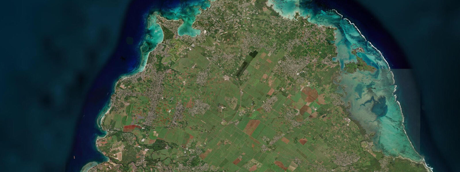
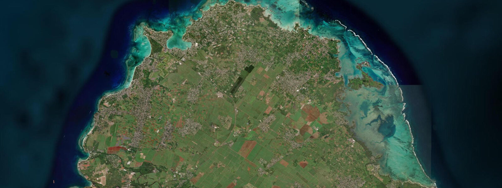
Trou-aux-Biches sits 5 km south of Grand Baie on the sheltered northwest coast of Mauritius, where the barrier reef runs closest to the shore and the lagoon between reef and beach is at its narrowest and shallowest. The beach arc is roughly 1.2 km of fine white sand lined with casuarina trees; a public beach occupies the northern two-thirds and the Trou-aux-Biches Beachcomber Resort — one of Mauritius's longest-established resort properties — fronts the southern section.
The name, which translates loosely as Deer Hole, refers to a freshwater spring that used to emerge near the beach before the area was developed; there is no surface trace of it today. The beach itself is the reason to be here: the lagoon inside the barrier reef is exceptionally calm, the sand is fine enough to squeak underfoot when dry, and the casuarina shade makes midday on the beach bearable.
The tidal regime is semidiurnal, with spring range 0.8–1.0 m above chart datum and neap range 0.3–0.5 m, following the Port Louis reference gauge. The lagoon at Trou-aux-Biches is shallower than Grand Baie — the reef runs only 300–500 m offshore here — and the tidal effect is more visible. At mean water level the lagoon over the sand and seagrass beds between the beach and the reef is 0.5–1.5 m deep; at low spring water the seagrass beds closest to the beach shallow to 0.1–0.3 m and the light-coloured sand shows clearly through the water. At high spring water the same beds are 0.8–1.3 m deep — enough for comfortable snorkelling across the full lagoon width without scraping the seagrass.
The seagrass beds at Trou-aux-Biches are feeding habitat for green sea turtles (Chelonia mydas), which graze the beds at dawn and dusk. The best observation window is the early morning, 06:00–08:00, when turtles are most active before boat traffic begins. The high-water window during those hours provides the clearest view into the grass beds without the sun glare that builds by 09:00. A slow wade or quiet snorkel along the outer margin of the seagrass toward the reef is more productive than swimming directly over the feeding area.
Glass-bottom boat tours to the outer reef operate from the public beach area, with typical departures at 09:30 and 14:00. The excursion follows the lagoon channel to a pass in the outer reef and crosses into open water to show coral formations and fish on the outer reef slope. The outer reef diving and snorkelling is substantially richer in coral cover and fish diversity than the inner lagoon. The best visibility on these tours is during the flood tide or at high slack water; the outgoing tide carries suspended sediment from the lagoon through the reef pass and reduces visibility on the outer reef face.
Shore anglers working the Trou-aux-Biches lagoon at dawn target the species that move onto the seagrass flat on the incoming tide — bonefish (Albula vulpes), bluefin trevally, and barracuda patrol the grass edge in the low-light hours. The last two hours of the incoming tide, when water is still rising over the grass and the predators are actively hunting, is the most productive window. A light spinning rod and a small jig or live bait cast to the seagrass edge is the standard approach.
For families, Trou-aux-Biches is one of the most consistently calm and shallow beaches on Mauritius. The lagoon depth at 30 m from shore at high water is 0.6–1.0 m — waist depth for most adults, knee depth for children — and the absence of surf or significant current makes it safe for young children to wade. The public beach has picnic tables under the casuarinas, a bus stop on the coast road behind the beach (Bus Route 215 from Port Louis), and a selection of small restaurants within 200 m.
Predictions for Trou-aux-Biches on this page come from Open-Meteo Marine, a gridded global ocean model; accuracy is typically ±45 minutes on timing and ±0.2–0.3 m on height.
Tide questions about Trou-aux-Biches
Quick answers to the most common questions about tide times, range, and water access at Trou-aux-Biches.
Can you see sea turtles at Trou-aux-Biches?
Green sea turtles (Chelonia mydas) graze the seagrass beds between the Trou-aux-Biches beach and the outer reef, most actively in the early morning from approximately 06:00 to 08:30 before boat traffic begins. The best approach is a slow snorkel or quiet wade along the outer edge of the seagrass — the beds are 0.5–1.5 m deep at mean water level, and the tidal state affects how easily you can access the outer margin. At low spring water (spring range 0.8–1.0 m) the inner grass beds shallow to 0.1–0.3 m and may be too shallow to snorkel without disturbing the bottom; access from slightly deeper water toward the reef. Turtles are protected under Mauritian law; maintain 3 m distance and do not pursue or touch.
What is the best tide state for snorkelling the lagoon at Trou-aux-Biches?
High water or the rising tide approaching high gives the best snorkelling conditions in the Trou-aux-Biches lagoon. At high spring water (spring range 0.8–1.0 m) the seagrass beds that are ankle-deep or dry at low water are covered to 0.8–1.3 m — enough for comfortable snorkelling across the full lagoon width without touching the seagrass. Visibility is also best at high water or on the flood tide, when cleaner ocean water is pushing in through the reef passes rather than lagoon sediment going out. The outer reef slope, reached by glass-bottom boat through the reef pass, has better coral and fish diversity than the inner lagoon; ask the boat operator for the departure time nearest to the high-water window.
What is the tidal range at Trou-aux-Biches?
Spring range at Trou-aux-Biches is 0.8–1.0 m above chart datum, following the Port Louis reference gauge (20 km south). Neap range is 0.3–0.5 m. The semidiurnal regime produces two highs and two lows daily. The shallow lagoon here — the reef is only 300–500 m offshore — makes the tidal swing more visible than at the wider Grand Baie lagoon. At low spring water, the inner seagrass beds can shallow to 0.1–0.3 m. At high spring water the same beds are 0.8–1.3 m deep. Open-Meteo Marine predictions on this page carry ±45 minutes / ±0.2–0.3 m accuracy; the Mauritius Oceanography Institute (MOI) at Albion publishes the authoritative harmonic tide tables.
Is the beach at Trou-aux-Biches public?
Yes. The northern two-thirds of the Trou-aux-Biches beach arc is fully public. The Trou-aux-Biches Beachcomber Resort fronts the southern section, but under Mauritian law the foreshore to the high-water mark is public access; guests of the resort and members of the public share the same beach. There is a public bus stop on the coast road behind the beach (Bus Route 215 from Port Louis, roughly 45 minutes). Picnic tables under the casuarinas, small restaurants within 200 m on the road parallel to the beach, and glass-bottom boat departure points on the public section of the beach.
Is Trou-aux-Biches safe for children to swim?
Yes, Trou-aux-Biches is one of the more family-friendly beaches on Mauritius. The outer reef absorbs all Indian Ocean swell; the lagoon is calm and the beach slope is gentle. At high water the depth at 30 m from shore is 0.6–1.0 m — waist depth for most adults, knee depth for children. At low water the same point is 0.1–0.4 m, essentially wading territory. There is no surf, no bar, and no tidal current inside the lagoon that presents a hazard for children. Boat traffic on the glass-bottom tour route passes through the centre of the lagoon — keep children away from the channel when tours are running (typically 09:30 and 14:00). Cyclone season warnings from Mauritius Meteorological Services should always be monitored November–April.
8-day tide table — Trou-aux-Biches
Heights relative to MSL. Predictions: Open-Meteo Marine (MeteoFrance SMOC, 0.08° grid) — heights relative to MSL (not chart datum / LAT). Model-derived.
| Day | Type | Time | Height |
|---|---|---|---|
| Sun 21 Jun | High | 04:50 | 0.8m |
| Low | 11:42 | 0.5m | |
| Mon 22 Jun | High | 06:00 | 0.8m |
| Tue 23 Jun | Low | 02:00 | 0.6m |
| Wed 24 Jun | High | 21:10 | 0.8m |
| Thu 25 Jun | Low | 04:10 | 0.6m |
| High | 11:10 | 0.8m | |
| Low | 16:00 | 0.7m | |
| High | 21:50 | 0.8m | |
| Fri 26 Jun | Low | 05:00 | 0.5m |
| High | 11:45 | 0.8m | |
| Low | 16:45 | 0.6m | |
| Sat 27 Jun | High | 23:06 | 0.9m |
| Sun 28 Jun | Low | 03:00 | 0.6m |