Grand Baie tide times
Grand Baie tide forecast — heights relative to MSL.
Today's tide times for Grand Baie
Tide times at Grand Baie on Sunday, 21 June 2026: first high tide at 04:50am, first low tide at 11:42am. Sunrise 06:43am, sunset 05:38pm.
Tide chart for Grand Baie
24-hour cosine-interpolated curve around the present moment. Heights relative to MSL. Predictions: Predictions: Open-Meteo Marine (MeteoFrance SMOC, 0.08° grid).
Sun, moon and conditions on Sun 21 Jun
Snapshot at build time — refreshes daily. Sea state from Open-Meteo Marine.
Highs and lows next 7 days
Every predicted high and low for the next week, with the daily tidal coefficient (0–120; higher = bigger swing, > 95 means stronger currents).
Other spots nearby
The three closest curated TideTurtle locations to Grand Baie, measured by great-circle distance.
Today's solunar windows
Solunar tradition: major periods are the ≈3h windows around moon transit and opposition; minor are ≈2h around moonrise and moonset. Pair with the local tide stage and wind for the best read.
Cycle dates near Grand Baie
Last spring tide on Sun 21 Jun (range 0.3m). Next neap on Mon 22 Jun.
Spring tides cluster around new and full moons (biggest swings). Neap tides land on quarter moons (smallest swings). See the spring tide and neap tide glossary entries for the why.
About tides at Grand Baie
A short guide to the coastline at Grand Baie — geography, sea state, and what the tide is actually doing under your feet.
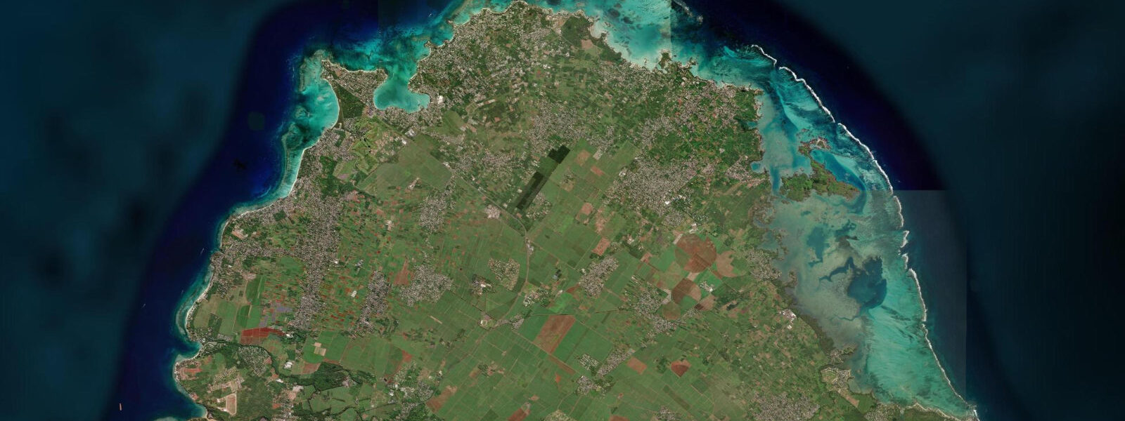
Grand Baie occupies a sheltered natural bay on the north coast of Mauritius, opening northwest through a wide gap in the outer barrier reef. It is the main tourist and commercial hub for northern Mauritius — the largest concentration of restaurants, shops, watersports operators, and nightlife venues outside Port Louis, built around the bay's curved inner waterfront. The bay itself is roughly 1.5 km across at the reef opening, narrowing to a 600 m arc of beach and pontoon infrastructure at the shore.
The tidal regime at Grand Baie is semidiurnal — two highs and two lows per day — in contrast to the mixed predominantly diurnal pattern of the Seychelles, 1,100 km to the north. Spring range at Port Louis (the reference gauge for Mauritius, 20 km southwest): 0.8–1.0 m above chart datum. Neap range: 0.3–0.5 m. The small range means the bay character changes little through a typical tidal cycle; the pontoons and beach facilities are fixed infrastructure designed around a static lagoon level, and they function at all tidal states. The one practical tidal consideration at Grand Baie is the depth over the shallowest sections of the reef at the bay entrance — the gap in the outer reef is wide and dredged, but boats taking the shorter passes between reef sections near the flanks of the bay at low spring tide should know the reduced depth.
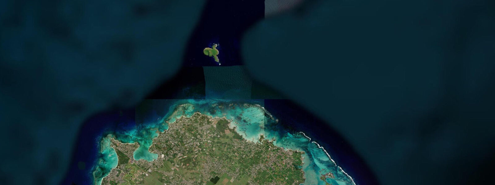
Watersports departures from the Grand Baie pontoon area — catamarans for snorkelling excursions, speedboats for the northern islets, parasailing and jet-ski operators — run on tide-independent schedules. The main excursion destinations from Grand Baie are Flat Island (Île Plate, 16 km north) and Gabriel Island, both uninhabited with snorkelling reefs and sandy beaches. The speedboat journey to Flat Island takes 30–45 minutes; the reef system around Gabriel Island on its south side is considered the finest close to the northern Mauritius coast. Snorkelling there is best on the slack period around high water when tidal flushing through the reef is minimal.
The beach arc inside Grand Baie itself is modest — public beach sections between hotel frontages total roughly 400 m. The more usable public beach is at La Cuvette, a small protected cove 500 m east of the main bay centre, where the municipality maintains a beach with lifeguards on weekdays. La Cuvette faces north-northeast and is protected by a short rock breakwater; the water is calm at virtually all tidal states within the lagoon.
Anglers fishing from the reef edge north of Grand Baie at night target carangidae (trevally) and barracuda in the channels between reef sections. The outgoing tide produces a current in the channels that concentrates baitfish and draws predators; the hour before and during the ebb has the strongest channel current of the tidal cycle. Day fishing from the boats includes bottom fishing for bourgeois (Lethrinus mahsena) and grouper on the banks to the northeast.
The lagoon water temperature at Grand Baie runs 26–28°C from November through April and 23–25°C from June through September. Cyclone season is November–April; the northern Mauritius coast is partially sheltered by the Mauritian mainland from southerly and southeastern cyclone quadrant winds, but direct northerly or northeastern tracks can produce destructive wave conditions in the bay. The Mauritius Meteorological Services issues cyclone warnings (Classes 1–4) that govern public coastal activity during named systems.
Predictions for Grand Baie on this page come from Open-Meteo Marine, a gridded global ocean model; accuracy is typically ±45 minutes on timing and ±0.2–0.3 m on height. The Mauritius Oceanography Institute (MOI) at Albion publishes authoritative harmonic tide predictions for Mauritius based on the Port Louis gauge.
Tide questions about Grand Baie
Quick answers to the most common questions about tide times, range, and water access at Grand Baie.
What is the tidal range at Grand Baie and does it affect the lagoon?
Spring range at Grand Baie is 0.8–1.0 m (referenced to Port Louis, the Mauritius gauge, 20 km southwest). Neap range is 0.3–0.5 m. The semidiurnal regime produces two highs and two lows per day. In practical terms, the small range means the lagoon and beach character change minimally through the tidal cycle; the fixed pontoons, beach furniture, and watersports launch areas function at all states. The one place where tidal state matters is the depth over the shallowest reef sections at the bay flanks, used by smaller local boats on shortcuts into the bay. Open-Meteo Marine predictions on this page carry the standard accuracy of ±45 minutes and ±0.2–0.3 m. For precise depths, consult the UKHO Indian Ocean charts for the Mauritius region.
What is the best excursion from Grand Baie for snorkelling?
The reef system around Gabriel Island, 16 km north of Grand Baie, is rated among the finest accessible from northern Mauritius. The southern side of Gabriel has coral gardens in 2–5 m of water with good fish density. The snorkelling window is best at or near high water (spring range 0.8–1.0 m) when tidal flushing through the reef passages is minimal and visibility is highest. The speedboat journey from the Grand Baie pontoon takes 30–45 minutes. Operators run departures starting at 08:30 most days; book the morning trip rather than the afternoon to get the better light angle. Flat Island (Île Plate) further north is a longer trip (45–60 minutes) with a sandy beach and calmer snorkelling in the shallows.
Where do the tide predictions for Grand Baie come from?
Predictions on this page come from Open-Meteo Marine, a free gridded global ocean model with typical accuracy of ±45 minutes on timing and ±0.2–0.3 m on height. The authoritative source for Mauritius tide predictions is the Mauritius Oceanography Institute (MOI) at Albion, which publishes annual tide tables using harmonic analysis of the Port Louis gauge record. Port Louis is 20 km southwest of Grand Baie; the tidal range and timing at Grand Baie differ by less than 5 minutes and 0.05 m from Port Louis. The Mauritius Meteorological Services website also provides tide table downloads for operational planning.
Is Grand Baie safe for swimming and watersports?
Grand Baie is one of the safest bays on Mauritius for swimming. The outer reef absorbs the Indian Ocean swell; the lagoon inside is calm at virtually all tidal states and all wind directions except during tropical cyclones. The public beach at La Cuvette (500 m east of the main bay centre) has lifeguard coverage on weekdays. The bay is busy with boat traffic from the pontoon operators — maintain awareness of speedboat and catamaran approaches when swimming more than 50 m from the beach. Cyclone season (November–April) requires monitoring Mauritius Meteorological Services Class warnings; Class 2 and above triggers restrictions on coastal activities.
Is it safe to use these tide predictions for boat navigation in Grand Baie?
No. Open-Meteo Marine gridded predictions are not gauge-calibrated harmonic data and are not suitable for navigational decisions. For vessel operations in and around Grand Baie, including passage through the outer reef, use the UKHO Admiralty charts for the Indian Ocean (relevant chart BA 711 covers Mauritius waters) and the MOI harmonic tide tables for Port Louis. Reef passages into Grand Baie vary in charted depth; the main channel is dredged, but the flanking passes between reef sections carry reduced depth at low spring water. The harbour authority (Mauritius Ports Authority) manages vessel movements in the Grand Baie anchorage.
8-day tide table — Grand Baie
Heights relative to MSL. Predictions: Open-Meteo Marine (MeteoFrance SMOC, 0.08° grid) — heights relative to MSL (not chart datum / LAT). Model-derived.
| Day | Type | Time | Height |
|---|---|---|---|
| Sun 21 Jun | High | 04:50 | 0.8m |
| Low | 11:42 | 0.5m | |
| Mon 22 Jun | High | 06:00 | 0.8m |
| Tue 23 Jun | Low | 02:00 | 0.6m |
| Wed 24 Jun | High | 21:10 | 0.8m |
| Thu 25 Jun | Low | 04:10 | 0.6m |
| High | 11:10 | 0.8m | |
| Low | 16:00 | 0.7m | |
| High | 21:50 | 0.8m | |
| Fri 26 Jun | Low | 05:00 | 0.5m |
| High | 11:45 | 0.8m | |
| Low | 16:45 | 0.6m | |
| Sat 27 Jun | High | 23:06 | 0.9m |
| Sun 28 Jun | Low | 03:00 | 0.6m |