Coin de Mire tide times
Coin de Mire tide forecast — heights relative to MSL.
Today's tide times for Coin de Mire
Tide times at Coin de Mire on Sunday, 21 June 2026: first high tide at 05:00am. Sunrise 06:43am, sunset 05:38pm.
Tide chart for Coin de Mire
24-hour cosine-interpolated curve around the present moment. Heights relative to MSL. Predictions: Predictions: Open-Meteo Marine (MeteoFrance SMOC, 0.08° grid).
Sun, moon and conditions on Sun 21 Jun
Snapshot at build time — refreshes daily. Sea state from Open-Meteo Marine.
Highs and lows next 7 days
Every predicted high and low for the next week, with the daily tidal coefficient (0–120; higher = bigger swing, > 95 means stronger currents).
Other spots nearby
The three closest curated TideTurtle locations to Coin de Mire, measured by great-circle distance.
Today's solunar windows
Solunar tradition: major periods are the ≈3h windows around moon transit and opposition; minor are ≈2h around moonrise and moonset. Pair with the local tide stage and wind for the best read.
About tides at Coin de Mire
A short guide to the coastline at Coin de Mire — geography, sea state, and what the tide is actually doing under your feet.
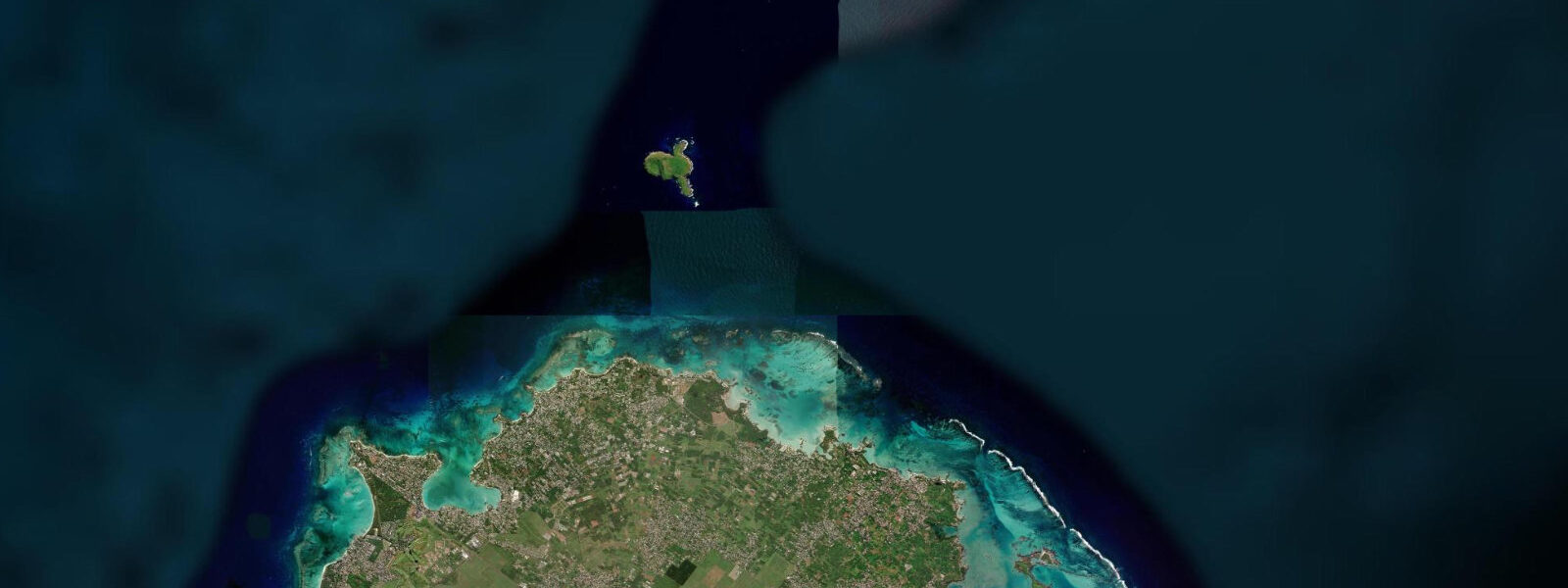
Coin de Mire — Gunner's Quoin in English, the name derived from the wedge-shaped wooden tool used to adjust cannon elevation — is a small basaltic island 8 km north of the Mauritian mainland, rising to 284 m from the ocean. The island is roughly 1 km long and 500 m wide, with sheer cliffs on the north side and a more accessible slope on the southern lee. It has been a nature reserve since 1983 and is closed to overnight landing; no permanent residents and no infrastructure of any kind exist on the island. All access is by day-trip speedboat from Grand Baie (20–30 minutes), and the boat anchors offshore while passengers snorkel from the hull.
The tidal regime affecting Coin de Mire is the same semidiurnal regime as the Mauritius mainland, with spring range 0.8–1.0 m. However, as an open-ocean island with no barrier reef on its northern and eastern sides, Coin de Mire is exposed to the full Indian Ocean swell. The southern lee provides shelter and that is where the snorkelling operations anchor; the northern and eastern reefs are exposed to swell and are accessible only to experienced divers and in very calm conditions.
The snorkelling habitat around Coin de Mire is among the most ecologically significant accessible by day trip from northern Mauritius. The southern reef consists of a shallow platform (1–4 m at mean water level) that drops to a rubble-and-sand floor at 6–8 m, then a steeper outer slope descending toward the oceanic depth. The coral coverage on the southern platform has recovered substantially from the bleaching events of 1998 and 2016; the fish biomass — particularly the predator community of large trevally, grouper, barracuda, and the occasional dogtooth tuna — is noticeably higher than the lagoonal reefs inside the Mauritius barrier.
Timing the snorkel to the tidal state matters here in a way that differs from the inner-lagoon sites at Trou-aux-Biches. At Coin de Mire, the tidal stream through the channels between the southern reef features can reach 0.5–0.8 knots on spring tides. On the incoming tide, cleaner offshore water is drawn over the reef from the south; on the outgoing tide, the current reverses and any suspended material from the northern exposed reef washes through. The slack period at high water — typically 30–45 minutes of minimal current — and the first half of the flood give the clearest water and the most comfortable snorkelling. In practice, the speedboat operators plan departures from Grand Baie at 08:30 or 09:00 to arrive at Coin de Mire near the mid-flood on most days; ask the operator about the day's tide timing when booking.
Seabird nesting at Coin de Mire includes white-tailed tropicbird (Phaethon lepturus, locally called paille-en-queue), the red-tailed tropicbird (Phaethon rubricauda), and wedge-tailed shearwater (Ardenna pacifica). The cliff ledges on the northern and western faces are the primary nesting sites, most visible from the south anchorage on a calm day. Nesting season is October–May; during that period Mauritian National Parks and Conservation Service rangers may restrict approach to the cliff base.
For anglers, Coin de Mire represents the northern boundary of the Mauritian trolling and deep-sea fishing zone; charter vessels out of Grand Baie run past Coin de Mire on the way to the northern banks. The island itself is not a shore-fishing site — access to the ledges is restricted by the reserve status and the cliff topography. Deep-sea fishing charters from Grand Baie typically depart at 07:00 and fish the banks between Coin de Mire and Flat Island; billfish, wahoo, and dogtooth tuna are the primary targets.
Predictions for Coin de Mire on this page come from Open-Meteo Marine, a gridded global ocean model; accuracy is typically ±45 minutes on timing and ±0.2–0.3 m on height. For any navigational approach to Coin de Mire, use UKHO Admiralty charts for Mauritius (BA 711).
Tide questions about Coin de Mire
Quick answers to the most common questions about tide times, range, and water access at Coin de Mire.
What is the best time to snorkel at Coin de Mire?
The optimal window at Coin de Mire is the incoming flood tide and the slack at high water, when clean offshore water is drawn over the southern reef platform from open ocean. Tidal stream through the southern reef channels can reach 0.5–0.8 knots on spring tides; during the ebb, reversed flow from the northern exposed reef carries suspended material that reduces visibility. The slack period at high water — approximately 30–45 minutes on a spring day — is the calmest for snorkelling the platform in 1–4 m of water. Most Grand Baie operators depart at 08:30–09:00 to align with the morning flood; confirm the day's tide timing with your operator when booking, as the semidiurnal spring range of 0.8–1.0 m means the high-water window shifts roughly 50 minutes later each day.
Can you land on Coin de Mire?
No. Coin de Mire has been a nature reserve since 1983 and is closed to landing without a permit from the Mauritius National Parks and Conservation Service. Day-trip boats anchor offshore and passengers snorkel from the hull; no one goes ashore. The restriction protects nesting seabirds including white-tailed tropicbird (paille-en-queue, Phaethon lepturus), red-tailed tropicbird (Phaethon rubricauda), and wedge-tailed shearwater (Ardenna pacifica). During peak nesting season (October–May) rangers may additionally restrict close approach to the cliff faces. The southern anchorage area is the access point for all snorkelling operations.
How do I get to Coin de Mire from Mauritius?
All access to Coin de Mire is via speedboat from Grand Baie on the north coast of Mauritius. The crossing takes 20–30 minutes depending on sea state. Multiple operators on the Grand Baie waterfront run day trips that include Coin de Mire snorkelling, usually combined with a stop at Flat Island (Île Plate) or Gabriel Island. Typical departures are 08:30–09:30. Book in advance during July–August peak season; trips are cancelled by the operators when sea state exceeds their operational limits, which occurs most often during the NW monsoon (December–March) when northerly swell affects the crossing. The south-lee anchorage at Coin de Mire is accessible in conditions that would make the northern side impossible.
What will I see when snorkelling at Coin de Mire?
The southern reef platform at Coin de Mire (1–4 m at mean water level, dropping to 6–8 m) has substantially recovered coral cover following the 1998 and 2016 bleaching events. Common species on the platform include various Acropora and Porites coral formations, parrotfish, surgeonfish, moorish idol, and blue-and-yellow fusiliers in large schools. The predator community is noticeably richer than the inshore lagoon reefs — large trevally (Caranx species), grouper (Epinephelus), and barracuda regularly patrol the platform edge. The occasional dogtooth tuna (Gymnosarda unicolor) passes through the deeper water below. Hawksbill turtles (Eretmochelys imbricata) are seen on almost every trip. Maintain 3 m distance from turtles as required under Mauritian law.
Is it safe to use these tide predictions for navigation to Coin de Mire?
No. Open-Meteo Marine gridded predictions are not gauge-calibrated harmonic data and are not adequate for vessel navigation. Coin de Mire sits 8 km north of the Mauritian mainland in open water; the passage from Grand Baie crosses the outer reef line through the main northern channel. For navigation in Mauritius waters, use UKHO Admiralty chart BA 711 (Mauritius) and the MOI harmonic tide tables for Port Louis. The tidal stream between Coin de Mire and the mainland runs north-south on the semidiurnal cycle; any passage through the reef in reduced visibility or rough conditions requires local knowledge and proper chart navigation.
8-day tide table — Coin de Mire
Heights relative to MSL. Predictions: Open-Meteo Marine (MeteoFrance SMOC, 0.08° grid) — heights relative to MSL (not chart datum / LAT). Model-derived.
| Day | Type | Time | Height |
|---|---|---|---|
| Sun 21 Jun | High | 05:00 | 0.8m |
| Mon 22 Jun | — | ||
| Tue 23 Jun | — | ||
| Wed 24 Jun | — | ||
| Thu 25 Jun | Low | 04:10 | 0.6m |
| High | 11:00 | 0.8m | |
| Low | 16:00 | 0.7m | |
| High | 22:00 | 0.8m | |
| Fri 26 Jun | Low | 05:00 | 0.5m |
| Sat 27 Jun | High | 23:15 | 0.9m |
| Sun 28 Jun | Low | 03:00 | 0.6m |