Salines Beach tide times
Salines Beach tide forecast — heights relative to MSL.
Today's tide times for Salines Beach
Tide times at Salines Beach on Sunday, 21 June 2026: first low tide at 01:50pm, first high tide at 09:00pm. Sunrise 05:35am, sunset 06:34pm.
Tide chart for Salines Beach
24-hour cosine-interpolated curve around the present moment. Heights relative to MSL. Predictions: Predictions: Open-Meteo Marine (MeteoFrance SMOC, 0.08° grid).
Sun, moon and conditions on Sun 21 Jun
Snapshot at build time — refreshes daily. Sea state from Open-Meteo Marine.
Highs and lows next 7 days
Every predicted high and low for the next week, with the daily tidal coefficient (0–120; higher = bigger swing, > 95 means stronger currents).
Other spots nearby
The three closest curated TideTurtle locations to Salines Beach, measured by great-circle distance.
Today's solunar windows
Solunar tradition: major periods are the ≈3h windows around moon transit and opposition; minor are ≈2h around moonrise and moonset. Pair with the local tide stage and wind for the best read.
About tides at Salines Beach
A short guide to the coastline at Salines Beach — geography, sea state, and what the tide is actually doing under your feet.
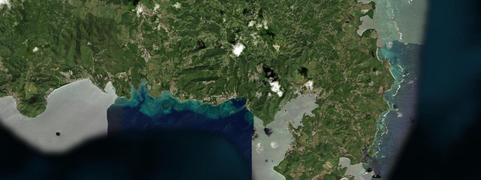
Grande Anse des Salines occupies the southern tip of Martinique — 1.5 km of white coral-sand beach curving in a broad arc, backed by coconut palms, facing S-SW into the open Caribbean. It is the southernmost beach on the island and consistently ranked the finest. Access requires a 10-minute walk along a sandy path from the parking area at the end of Route des Salines; the walk filters the number of visitors and keeps the beach free of the infrastructure found at more accessible beaches.
The tidal regime here is mixed semidiurnal with a spring range of 0.3–0.4 m. The south-southwest exposure means the beach faces the open Caribbean fetch, and sea state is more strongly influenced by trade-wind strength than by tidal phase. On a typical dry-season day (December through June), the easterly trade wind at 10–15 knots generates a slight swell from the southeast that wraps around the southern tip; by the afternoon the wind strengthens and the surface chop builds to 0.3–0.5 m. The beach is still swimmable in these conditions because the water is shallow and the fetch is not extreme, but the morning is meaningfully calmer for anyone who prefers flat water. Rainy season (July–November) brings lighter and more variable winds, often producing glassy morning conditions with occasional stronger gusts from passing weather systems.
At low spring tide, the beach widens by 12–15 m compared to high water. The sand in the intertidal zone is firm and pale, excellent for walking the length of the beach. The hard-packed wet sand at the low-tide line is the practical walking corridor when the upper beach is deep and soft under the palms. A complete low-tide traverse of the 1.5 km beach and back takes around 45 minutes at a leisurely pace.
Rocher du Diamant — Diamond Rock — is visible to the southwest from the beach, rising 175 m straight from the sea approximately 8 km offshore. The British Royal Navy commissioned the basalt plug as HMS Diamond Rock in 1804 and used it as a signal and supply station for 17 months before the French retook it in 1805. From the Salines viewpoint on a clear day, the rock's profile is unmistakable: a steep, slightly pyramidal mass with no vegetation on the upper section. Boat trips from Le Marin (20 km NE by sea) and Sainte-Anne (15 km NE) pass within 200 m of the rock.
Snorkelling at the southern end of the beach, where rock outcrops break the sand line, reveals small reef fish, sea urchins in the rock crevices, and occasional hawksbill turtle. The turtles — mostly Caribbean hawksbills — have nested on quieter sections of the Martinique south coast for decades. At Salines, turtle nesting activity is concentrated on the section of beach furthest from the parking-area approach, generally the western end. Between May and October, nesting females occasionally come ashore; disturbance of nesting turtles is prohibited under French Overseas Territory conservation law.
For photographers, the beach has two reliable lighting windows. Early morning: the sun rises to the east and illuminates the palm canopy above the beach in low-angle light while the beach itself is in partial shadow until the sun clears the palms, around 08:30–09:00. The reflective white sand then becomes very bright by mid-morning; graduated ND filters or RAW processing are needed for balanced exposures of palm-shaded foreground and bright sand. Late afternoon: the sun drops toward the SW and the light rakes across the sand surface at around 17:00; Diamond Rock is backlit from the beach perspective, creating a strong silhouette subject. Tidal phase affects the foreground — low tide reveals wet-sand reflections in the afternoon light; high tide brings the water to the base of the palms.
Tide data for Salines Beach comes from the Open-Meteo Marine API, a gridded global ocean model. Timing accuracy is ±45 minutes, height accuracy ±0.2–0.3 m. SHOM publishes harmonic predictions for the Martinique south coast referenced to Le Robert.
Tide questions about Salines Beach
Quick answers to the most common questions about tide times, range, and water access at Salines Beach.
What is the best time of day to visit Salines Beach?
Early morning — arrival by 08:00 — combines the calmest sea state with the lowest visitor numbers and the most useful light for photography. The easterly trade wind is lightest in the morning; by 14:00 it has typically built to 12–18 knots, raising surface chop and making the beach noticeably less calm for swimming. The 10-minute walk from the parking area deters casual visitors, so the beach is never overrun, but the car park fills from 10:00 onward on weekends and French public holidays. On a low-tide morning, the wet-sand walking corridor along the full 1.5 km beach is wide and firm — a complete traverse takes 45 minutes. The shade from the coconut palms retreats by 10:00 in the dry season; after that, the palm fringe is the only relief from direct sun on an otherwise open beach.
Can I see hawksbill turtles at Salines Beach?
Caribbean hawksbill turtles (Eretmochelys imbricata) use the quieter sections of the Martinique south coast for nesting, and Salines is one of the sites with documented nesting activity. The nesting season runs from May through October, with females coming ashore at night to lay. Daytime turtle sightings in the water off the southern end of the beach — where rock outcrops create light reef structure — are reported year-round by snorkellers, though sightings are not guaranteed. If a nesting turtle is encountered on the beach at night, keep 10 m clear, use no white light (red torch if any), and do not approach or photograph with flash. Disturbing nesting sea turtles is an offence under French territorial conservation law. The OMMM (Observatoire des Milieux et des Mammifères Marins) coordinates turtle monitoring in Martinique.
How far is Diamond Rock from Salines Beach, and can I visit it by boat?
Rocher du Diamant (Diamond Rock) sits approximately 8 km southwest of Salines Beach by direct line. It is visible from the beach on any clear day. The rock is not accessible on foot — it rises directly from the sea with no landing beach. Boat tours passing Diamond Rock depart from Le Marin marina and from Sainte-Anne, both on the SE coast of Martinique. A typical half-day catamaran tour includes a pass close to the rock, snorkelling at a site nearby, and a return to port. The crossing from Le Marin takes 45–60 minutes each way; from Sainte-Anne, slightly less. Sea state on the approach to the rock depends on the Atlantic swell and trade-wind strength; operators cancel or divert when swell exceeds 1.5 m on the south Martinique coast.
Does the tide affect snorkelling conditions at Salines Beach?
Snorkelling at the rock outcrop section of Salines Beach is best at mid-to-high water, when the water column over the rocks is deepest and the surge from any swell is least concentrated. At low spring tide (water level roughly 0.3 m lower than high water), the rocks at the southern end of the beach are shallower and any residual swell produces stronger surge, making finning around the rocks more work. High incoming tide adds 0.3 m of depth and reduces surge over the shallower features. In flat calm conditions — typical early mornings in the dry season — the difference is minor. In any swell above 0.4 m, snorkelling around the rocks is uncomfortable regardless of tidal state and the beach swimming area is better suited.
Is the walk from the parking area to Salines Beach wheelchair or pushchair accessible?
The path from the Salines Beach car park to the beach is approximately 600 m of unpaved sandy trail through coastal woodland. The surface is sand and compacted earth; it is level but soft in places. A well-designed pushchair with larger wheels (not a lightweight umbrella stroller) can manage the path in dry conditions. The path becomes deeper sand near the beach entrance and is difficult for standard wheelchair users without assistance. In wet conditions, the path becomes muddy in sections. There are no facilities on the path itself — no shade benches, no rest points. In the dry season (December–June), the walk takes about 10 minutes at walking pace; in the heat of midday it is more taxing. Early morning arrival avoids peak heat.
7-day tide table — Salines Beach
Heights relative to MSL. Predictions: Open-Meteo Marine (MeteoFrance SMOC, 0.08° grid) — heights relative to MSL (not chart datum / LAT). Model-derived.
| Day | Type | Time | Height |
|---|---|---|---|
| Sun 21 Jun | Low | 13:50 | 0.1m |
| High | 21:00 | 0.3m | |
| Mon 22 Jun | — | ||
| Tue 23 Jun | — | ||
| Wed 24 Jun | — | ||
| Thu 25 Jun | — | ||
| Fri 26 Jun | Low | 07:45 | -0.0m |
| High | 15:00 | 0.2m | |
| Low | 18:00 | 0.2m | |
| Sat 27 Jun | High | 00:10 | 0.4m |
| Low | 08:10 | -0.1m | |
| High | 15:50 | 0.2m | |