Saint-Pierre tide times
Saint-Pierre tide forecast — heights relative to MSL.
Today's tide times for Saint-Pierre
Tide times at Saint-Pierre on Sunday, 21 June 2026: first low tide at 02:00am, first high tide at 09:00pm. Sunrise 05:36am, sunset 06:36pm.
Tide chart for Saint-Pierre
24-hour cosine-interpolated curve around the present moment. Heights relative to MSL. Predictions: Predictions: Open-Meteo Marine (MeteoFrance SMOC, 0.08° grid).
Sun, moon and conditions on Sun 21 Jun
Snapshot at build time — refreshes daily. Sea state from Open-Meteo Marine.
Highs and lows next 7 days
Every predicted high and low for the next week, with the daily tidal coefficient (0–120; higher = bigger swing, > 95 means stronger currents).
Other spots nearby
The three closest curated TideTurtle locations to Saint-Pierre, measured by great-circle distance.
Today's solunar windows
Solunar tradition: major periods are the ≈3h windows around moon transit and opposition; minor are ≈2h around moonrise and moonset. Pair with the local tide stage and wind for the best read.
About tides at Saint-Pierre
A short guide to the coastline at Saint-Pierre — geography, sea state, and what the tide is actually doing under your feet.
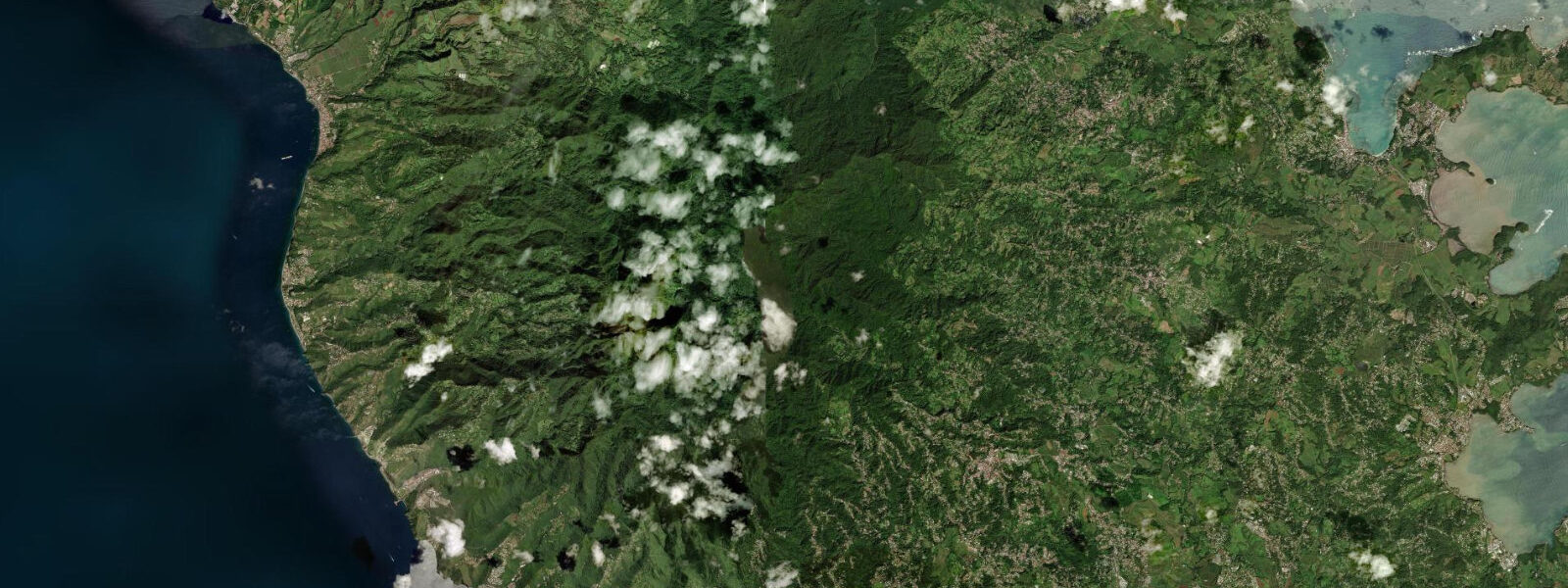
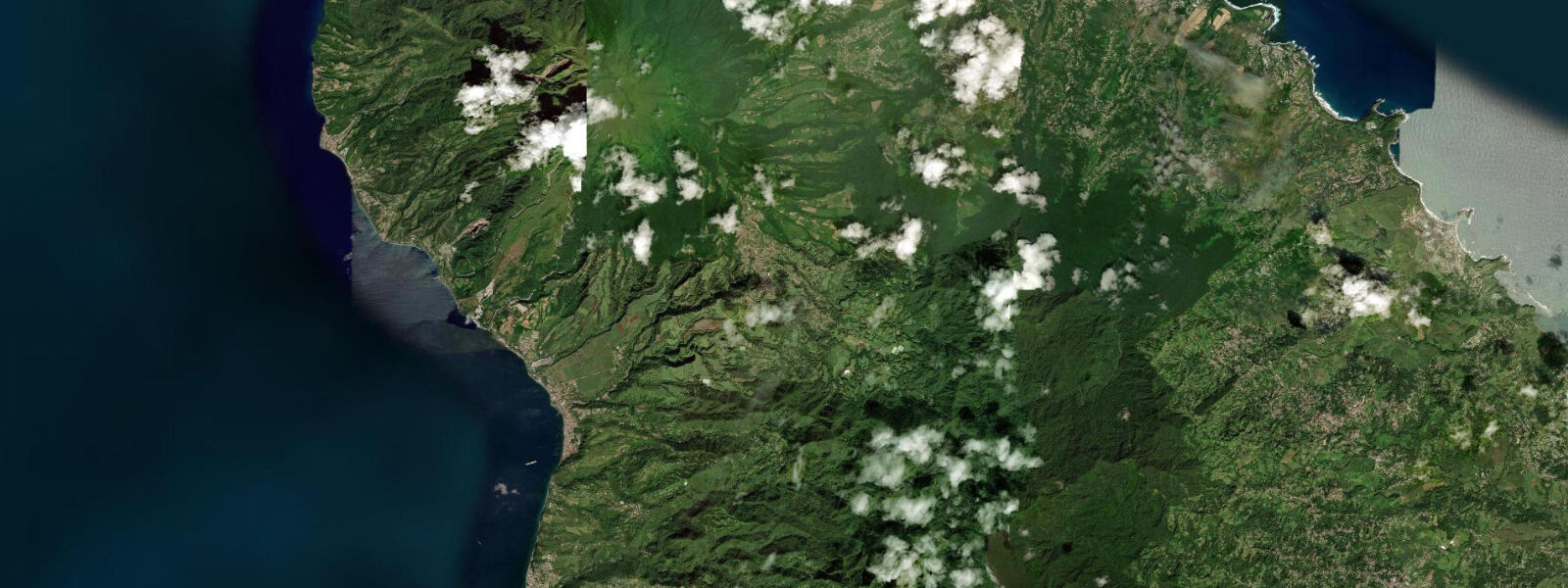
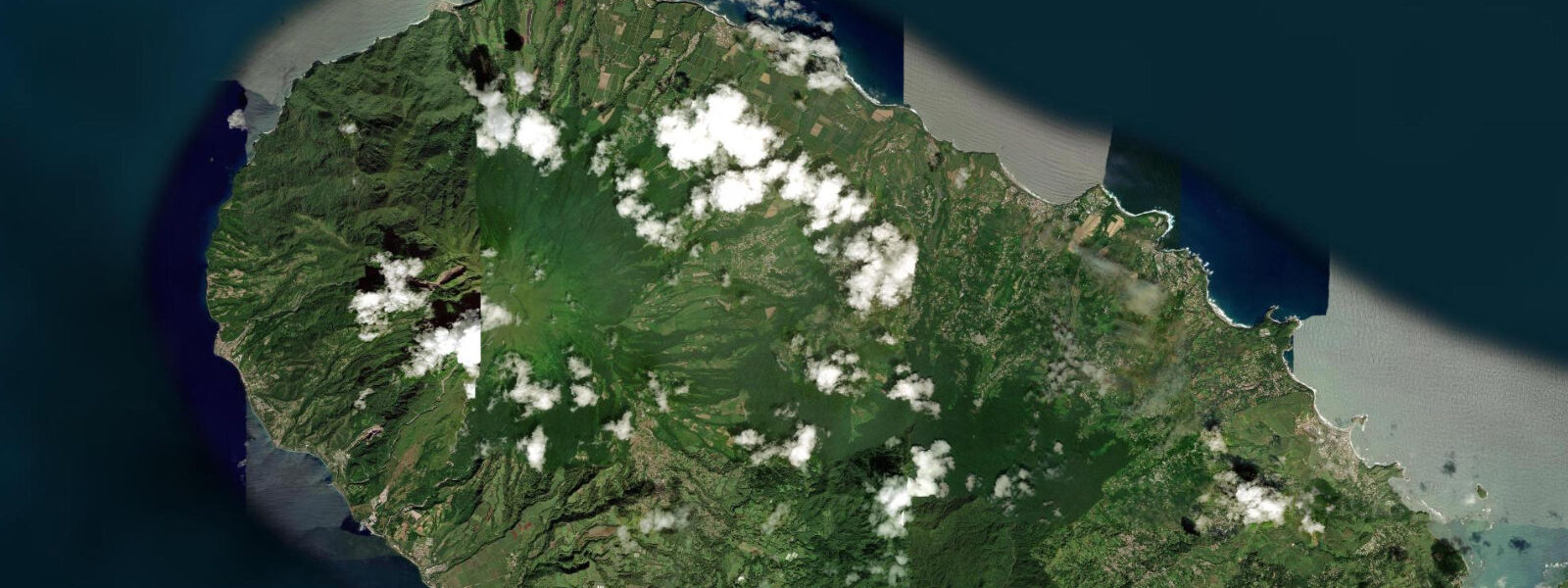
Saint-Pierre sits on the northwest coast of Martinique, facing the Caribbean in a wide bay backed by the forested slopes of Montagne Pelée. On 8 May 1902, the volcano discharged a pyroclastic surge that killed approximately 30,000 people — nearly the entire population of the town — in under three minutes. The town never fully recovered its former scale; the ruins of the pre-eruption theatre, hospital, and waterfront warehouses remain standing in the modern settlement as open-air monuments. The bay held 18 ships at anchor when the eruption hit. All 18 were sunk by the combination of the surge, superheated air, and subsequent tsunami-like wave. They remain on the bottom of Baie de Saint-Pierre and constitute one of the most concentrated collections of diveable wrecks in the world.
The wrecks lie in 5–50 m of water across the bay, arranged across roughly 3 km of seafloor. The shallow wrecks — Tamaya (10–15 m), Gabrielle (12 m), Roraima (15–45 m) — are accessible to Open Water certified divers. The deeper wrecks, including the Pouyer-Quertier at 60 m, are technical dives. Visibility is typically 15–25 m in the dry season (January through June) and drops to 10–15 m during the rainy season (July–December) as river runoff and biological productivity cloud the water. Dive operators based at the Saint-Pierre waterfront — several running from the road adjacent to the ruins — offer guided wreck dives year-round.
Tide at Saint-Pierre is mixed semidiurnal with a spring range of 0.3–0.4 m. Two unequal highs and two unequal lows occur each day, but the variation in water level is small enough that wreck dive depths are not meaningfully affected by tidal state. Tidal current in the bay is light — under 0.3 knots on most stages. Dive timing at Saint-Pierre is driven by boat schedule, visibility conditions, and diver certification level, not by the tide.
The surface beach is black volcanic sand, the colour reflecting the Pelée origin of the material. The beach runs north from the town centre for roughly 800 m before the road curves inland toward Le Prêcheur. The black sand retains heat through the afternoon — significantly more than white coral sand beaches. Arrival before 09:00 or after 16:00 is more comfortable for extended beach time in the dry-season heat. The beach is narrow: at low spring tide (approximately 0.3 m above chart datum versus high at 0.6 m), the beach widens by less than 10 m given the steep underwater slope — the tidal range barely registers as a width change here.
The ruins of the Saint-Pierre theatre (Théâtre de Saint-Pierre) stand one block from the waterfront. The structure was completed in 1786 and modelled partially on the Grand Théâtre de Bordeaux; only the stone shell survived the 1902 eruption. The Musée Volcanologique Frank Perret on the main street documents the eruption with photographs, instruments, and artefacts recovered from the ruins, including clock faces stopped at the minute the surge hit — 07:52. The museum is the most useful preparatory stop before diving the wrecks: the artefacts give physical context to what divers encounter on the wreck sites.
For anglers, the deep water close to shore at Saint-Pierre means productive bottom fishing from the jetty and from boats directly off the beach. The abrupt volcanic drop-off holds amberjack, snapper, and grouper year-round. Shore casting from the black-sand beach is less productive — the bottom is sand and rock rubble, not reef structure. Boat fishing from the bay, drifting the 20–40 m contour along the base of the volcanic slope, is the standard approach.
Tide data for Saint-Pierre comes from the Open-Meteo Marine API, a gridded global ocean model. Timing accuracy is ±45 minutes, height accuracy ±0.2–0.3 m. SHOM (Service Hydrographique et Océanographique de la Marine) publishes the authoritative harmonic predictions for Martinique; Saint-Pierre predictions are secondary-corrected from the Le Robert reference station.
Tide questions about Saint-Pierre
Quick answers to the most common questions about tide times, range, and water access at Saint-Pierre.
How many wrecks can I dive at Saint-Pierre, and what certification do I need?
Eighteen ships sank in Baie de Saint-Pierre during the 1902 Montagne Pelée eruption. Around 12–14 of those are regularly dived by operators based at the Saint-Pierre waterfront. Shallow wrecks — Tamaya (10–15 m), Gabrielle (12 m), and the upper structure of Roraima (15 m) — are accessible to Open Water certified divers. Advanced Open Water certification opens most of the fleet down to 30 m. The deeper wrecks, including the Pouyer-Quertier at 60 m, require technical diving certification (TDI or PADI TecRec equivalent). Most visiting divers do a two-dive morning trip covering two wrecks matched to their certification level. Operators are based along the waterfront road and take walk-in bookings, though advance reservation is recommended in peak dry-season months (February through April).
What is the best time of year for wreck diving visibility at Saint-Pierre?
Visibility in Baie de Saint-Pierre is best during the dry season, broadly January through June, when river runoff is low and biological productivity in the water column is reduced. Typical dry-season visibility on the wreck sites is 15–25 m, occasionally higher on calm days with no recent rain. The rainy season (July through November, peaking September–October during the Atlantic hurricane season) brings reduced visibility — 8–15 m is typical. Water temperature varies between 26°C in the dry season and 29–30°C at the height of the rainy season; the warm conditions eliminate wetsuit requirements for most divers. The wrecks are diveable year-round; the dry-season window is when the photographic results are most consistent.
Does the tide affect diving on the Saint-Pierre wrecks?
Tidal range at Saint-Pierre is 0.3–0.4 m at spring tides — small enough that wreck depths are not meaningfully affected by tidal state. The Tamaya, for example, lies in 10–15 m regardless of where the tide is in its cycle. Tidal current in the bay is light, typically under 0.3 knots, so current is not a planning factor the way it is on exposed reef or channel dive sites. Dive timing at Saint-Pierre is primarily driven by visibility conditions (morning is generally cleaner before afternoon winds pick up), dive operator schedules, and sea state. If you see a flat-calm early morning, that is the best combination of conditions regardless of the tidal phase.
Can I shore-fish or fish by boat at Saint-Pierre?
Boat fishing off Saint-Pierre is productive. The volcanic seabed drops sharply from shore, reaching 20–40 m within a few hundred metres of the beach. The slope and structure hold amberjack, snapper (vivaneau), and grouper (mérou) year-round. Drift fishing along the 20–40 m contour with live bait or jigs is the standard approach; local operators offer half-day fishing charters from the Saint-Pierre waterfront. Shore casting from the black-sand beach is possible but less productive — the bottom near shore is sand and rubble without significant reef structure to hold fish. The jetty at the southern end of the waterfront gives better access to slightly deeper water and is used by local shore fishermen, particularly in the early morning before dive-boat traffic increases.
What is the Musée Volcanologique, and is it worth visiting before diving the wrecks?
The Musée Volcanologique Frank Perret occupies a stone building on Saint-Pierre's main street, one block from the waterfront. It was established by American vulcanologist Frank Perret, who studied Montagne Pelée after the 1902 eruption. The collection includes photographs of the pre-eruption town, instruments from the eruption period, and artefacts recovered from the ruins and wreck sites — notably clock faces and ship fittings stopped or distorted at the moment of the surge. The museum is small and can be covered in 45–60 minutes. Visiting before diving gives useful context: the scale models of the wreck positions help orientate first-time divers to the bay, and the physical artefacts from wreck recovery make the underwater objects more legible. Admission is a few euros; the museum opens by 09:00 most mornings.
7-day tide table — Saint-Pierre
Heights relative to MSL. Predictions: Open-Meteo Marine (MeteoFrance SMOC, 0.08° grid) — heights relative to MSL (not chart datum / LAT). Model-derived.
| Day | Type | Time | Height |
|---|---|---|---|
| Sun 21 Jun | Low | 02:00 | 0.3m |
| High | 21:00 | 0.3m | |
| Mon 22 Jun | — | ||
| Tue 23 Jun | Low | 06:00 | 0.1m |
| High | 21:50 | 0.4m | |
| Wed 24 Jun | — | ||
| Thu 25 Jun | — | ||
| Fri 26 Jun | — | ||
| Sat 27 Jun | Low | 08:15 | -0.0m |
| High | 19:00 | 0.2m | |