Le Prêcheur tide times
Le Prêcheur tide forecast — heights relative to MSL.
Today's tide times for Le Prêcheur
Tide times at Le Prêcheur on Sunday, 21 June 2026: first low tide at 02:00am, first high tide at 09:00pm. Sunrise 05:36am, sunset 06:36pm.
Tide chart for Le Prêcheur
24-hour cosine-interpolated curve around the present moment. Heights relative to MSL. Predictions: Predictions: Open-Meteo Marine (MeteoFrance SMOC, 0.08° grid).
Sun, moon and conditions on Sun 21 Jun
Snapshot at build time — refreshes daily. Sea state from Open-Meteo Marine.
Highs and lows next 7 days
Every predicted high and low for the next week, with the daily tidal coefficient (0–120; higher = bigger swing, > 95 means stronger currents).
Other spots nearby
The three closest curated TideTurtle locations to Le Prêcheur, measured by great-circle distance.
Today's solunar windows
Solunar tradition: major periods are the ≈3h windows around moon transit and opposition; minor are ≈2h around moonrise and moonset. Pair with the local tide stage and wind for the best read.
About tides at Le Prêcheur
A short guide to the coastline at Le Prêcheur — geography, sea state, and what the tide is actually doing under your feet.
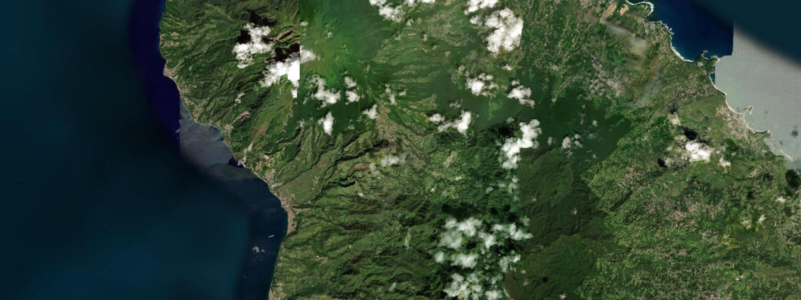
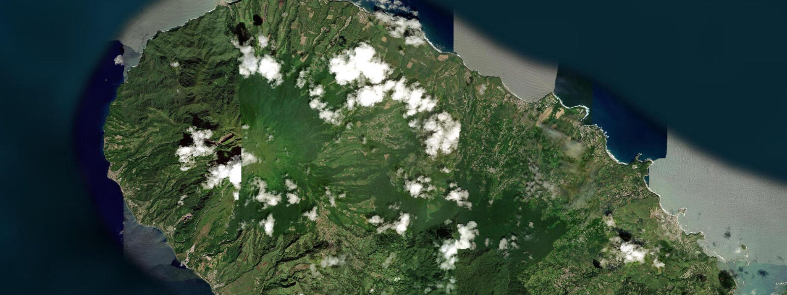
Le Prêcheur is the northernmost settlement on Martinique's Caribbean coast, a small fishing village pressed between the sea and the northwest flank of Montagne Pelée. The summit — 1,397 m — is visible directly overhead on clear mornings, though it spends much of the day capped in cloud. The road connecting Le Prêcheur to Saint-Pierre, 8 km to the south, clings to the cliff face above the water; sections were damaged by the 1902 Pelée eruption and rebuilt, and a 2009 lahar — a volcanic mudflow triggered by heavy rainfall saturating loose eruption debris on the upper slopes — reached the coast near here and disrupted the road again. The ongoing volcanic geology is not abstract background: it shapes the beach colour, the seafloor contour, and the accessibility of the village itself.
The beach at Le Prêcheur is black volcanic sand, finer-grained than the coarser material at Saint-Pierre and steep in profile — the seabed drops quickly, giving deep water within 20–30 m of the shore. Spring tidal range is 0.3–0.4 m; the beach width changes by less than 8 m between low and high water given the steep underwater slope. The black sand heats substantially during the dry-season afternoon sun; morning visits before 10:00 are more comfortable for extended beach time from February through June.
The village has a working fishing jetty extending from the northern end of the waterfront. Local fishermen operate traditionally-built wooden boats, typically fiberglass-hulled now but following the pirogue-style hull form. Shore fishing from the jetty and the rocky outcrops on either side of the beach targets snapper and jack in the early morning and late afternoon. The drop-off close to shore means boat fishing can start from relatively shallow water — the 20 m contour is within 200 m of the beach.
Free-diving on the volcanic rock formation north of the village, past the jetty toward the point, is a low-key activity practised by local swimmers and occasional visiting snorkellers. The rock structure holds sea urchins, small reef fish, and the occasional octopus in the crevices. Visibility from shore is typically 8–12 m on calm mornings, dropping when wind or swell disturbs the surface layer. There is no dive operator in Le Prêcheur; Saint-Pierre's operators (8 km south) are the nearest professional diving infrastructure.
The Montagne Pelée volcano looms as a practical consideration beyond the visual. The summit is an active monitoring target of the Observatoire Volcanologique et Sismologique de la Martinique (OVSM-IPGP). Volcanic activity alerts in Martinique use a five-level alert scale; Le Prêcheur and the other northern villages have evacuation plans in place given their position below the northwest flank. Under normal conditions — alert level 1, the baseline — coastal activities proceed without restriction.
For photographers, the combination of black sand, steep volcanic cliff, and the volcano summit frame above makes Le Prêcheur visually distinctive. Morning light from the east catches the face of Pelée and illuminates the beach in direct sun from about 08:00; by midday the cliff shadow has moved and the light becomes harsh. The village waterfront, with its painted wooden boats hauled up the beach or resting against the jetty pilings, is a productive subject in early light.
For hikers, the coastal trail north from Le Prêcheur toward Grand Rivière — the Trace du Nord — runs along clifftops and through coastal forest. The trail is approximately 14 km one way and is physically demanding; the northern section becomes increasingly remote and requires water and adequate time. The trailhead at Le Prêcheur is marked at the northern end of the village. Tide state does not affect the trail directly, but high sea state from Atlantic-sourced swell wrapping around the northern tip of Martinique can make the trail edge more exposed in sections.
Tide data for Le Prêcheur comes from the Open-Meteo Marine API, a gridded global ocean model. Timing accuracy is ±45 minutes, height accuracy ±0.2–0.3 m. SHOM harmonic predictions for Martinique use Le Robert as the reference station; secondary corrections apply for northern coast locations.
Tide questions about Le Prêcheur
Quick answers to the most common questions about tide times, range, and water access at Le Prêcheur.
Is the road to Le Prêcheur accessible year-round?
The coastal road connecting Le Prêcheur to Saint-Pierre is the village's only land access. The road passes through an area known for rockfall and lahar risk from Montagne Pelée's northwest flank — sections were damaged in the 1902 eruption and again during the 2009 lahar event. The Route Nationale is maintained and passable under normal conditions but can be temporarily closed after heavy rainfall events during the rainy season (July–November) if the monitoring authority (OVSM-IPGP) identifies elevated risk. Checking road status via the Collectivité Territoriale de Martinique traffic information before driving in from the south is advisable after any significant rainfall. A boat alternative exists in calm conditions — Saint-Pierre's dive operators sometimes offer water taxi service for visitors.
What is the tidal range at Le Prêcheur, and does it affect the beach?
Spring tidal range at Le Prêcheur is 0.3–0.4 m — the same mixed semidiurnal microtidal regime that covers all of Martinique's western coast. The beach profile here is steep due to the volcanic origin of the sand and the abrupt underwater slope. At low spring tide versus high water, the beach widens by approximately 6–8 m. This is not a dramatic change and does not materially alter the usable beach area. The more relevant tide effect on this steep shoreline is wave run-up at high water: on days with any Caribbean swell, waves reach higher on the beach at high tide than at low, which matters for positioning towels, bags, and vehicles parked near the waterline.
Can I snorkel at Le Prêcheur without a guided tour?
Independent snorkelling is practical at Le Prêcheur. The rocky outcrops north of the jetty hold reef fish, sea urchins, and crevice fauna in 2–8 m of water. Entry from the beach over the black sand is straightforward; entry directly off the rocks at the point requires care over the urchin-dense surface. Visibility from shore runs 8–12 m on calm mornings and drops on afternoons when trade wind chop disturbs the surface layer. Arriving by 08:00–09:00 gives the best surface conditions before the daily wind builds. There are no facilities at the snorkel sites — no gear rental in the village. Bring all equipment from Saint-Pierre or your accommodation. Free-divers should follow standard buddy practices; there is no organised dive safety presence at Le Prêcheur.
What fish species can shore anglers catch from the Le Prêcheur jetty?
The jetty at Le Prêcheur reaches over water that drops to 4–6 m within 30 m of the end. Shore casting and bottom fishing from the jetty targets vivaneau (snapper), carangues (jacks), and balaous (needlefish) in the early morning and at dusk. The deep water close inshore is characteristic of this volcanic coast and gives shore anglers access to species that would require a boat on shallower beaches elsewhere. Local fishermen use cut bait — small fish and squid — fished on the bottom on standard sliding-sinker rigs. The incoming tide is generally the more productive window for snapper on this type of structure; the first two hours of flood, when the current begins to move and disturbs resting fish, is the conventional local preference.
Does the Montagne Pelée volcano affect safety planning for Le Prêcheur?
Le Prêcheur sits directly below the northwest flank of Montagne Pelée, an active volcano monitored continuously by the Observatoire Volcanologique et Sismologique de la Martinique (OVSM-IPGP). The observatory uses a five-level alert scale: Level 1 (yellow, vigilance) is the baseline under normal conditions. Levels 3–5 trigger partial or full evacuations of the northern zone, which includes Le Prêcheur. The OVSM-IPGP publishes daily bulletins at ovsm.ipgp.fr; the current alert level is shown prominently. Under Level 1 conditions, visiting the village and its beach is unrestricted. Visitors with specific concerns about volcanic activity should check the observatory bulletin before travelling north from Fort-de-France. The 2009 lahar — a rainfall-triggered mudflow — demonstrates that volcanic hazard in this zone is not solely eruption-dependent.
7-day tide table — Le Prêcheur
Heights relative to MSL. Predictions: Open-Meteo Marine (MeteoFrance SMOC, 0.08° grid) — heights relative to MSL (not chart datum / LAT). Model-derived.
| Day | Type | Time | Height |
|---|---|---|---|
| Sun 21 Jun | Low | 02:00 | 0.3m |
| High | 21:00 | 0.3m | |
| Mon 22 Jun | — | ||
| Tue 23 Jun | Low | 06:00 | 0.1m |
| High | 22:00 | 0.3m | |
| Wed 24 Jun | — | ||
| Thu 25 Jun | — | ||
| Fri 26 Jun | — | ||
| Sat 27 Jun | Low | 08:15 | -0.0m |
| High | 19:00 | 0.2m | |