Grand Rivière tide times
Grand Rivière tide forecast — heights relative to MSL.
Today's tide times for Grand Rivière
Tide times at Grand Rivière on Sunday, 21 June 2026: first low tide at 02:00am, first high tide at 09:00pm. Sunrise 05:36am, sunset 06:36pm.
Tide chart for Grand Rivière
24-hour cosine-interpolated curve around the present moment. Heights relative to MSL. Predictions: Predictions: Open-Meteo Marine (MeteoFrance SMOC, 0.08° grid).
Sun, moon and conditions on Sun 21 Jun
Snapshot at build time — refreshes daily. Sea state from Open-Meteo Marine.
Highs and lows next 7 days
Every predicted high and low for the next week, with the daily tidal coefficient (0–120; higher = bigger swing, > 95 means stronger currents).
Other spots nearby
The three closest curated TideTurtle locations to Grand Rivière, measured by great-circle distance.
Today's solunar windows
Solunar tradition: major periods are the ≈3h windows around moon transit and opposition; minor are ≈2h around moonrise and moonset. Pair with the local tide stage and wind for the best read.
About tides at Grand Rivière
A short guide to the coastline at Grand Rivière — geography, sea state, and what the tide is actually doing under your feet.
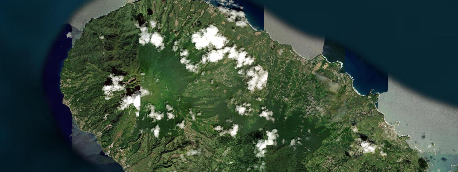
Grand Rivière is the northernmost settlement in Martinique, a village of around 700 people at the mouth of the Rivière Grand Rivière where it meets the Caribbean. The village is accessible from the west by the coastal road from Le Prêcheur — a 14 km route of switchbacks and cliff sections — or from the south via the Trace des Jésuites hiking trail through the interior forest. There is no road connecting Grand Rivière to the Atlantic coast to the east; the terrain is too steep. This geographic isolation defines the village's character: Grand Rivière has remained a fishing community built around the sea because the sea was historically the easiest way in and out.
The river bar at the mouth of the Grand Rivière is the tidal feature that matters most here. The river carries sediment from the inland slopes of Montagne Pelée; at the mouth, that sediment builds a shifting bar in the breaking zone. Spring tidal range at Grand Rivière is 0.3–0.5 m — genuinely small — but on a shallow bar in breaking swell, 0.3 m of additional depth at high water is the difference between a safe crossing and a boat-stopping ground. Local fishermen time departures and returns around the tide: the standard pattern is to depart on the high water before dawn, fish the open waters off the northern tip of Martinique through the morning, and return on the afternoon high water before the tide drops and the bar shallows again.
The fishing boats of Grand Rivière are wooden pirogues, hand-built in the village using traditional techniques passed down through generations of boat builders. The hulls are typically 5–7 m in length, single-engine, and light enough to be hauled up the beach above the high-water line by a small crew. Several workshops in the village remain active; visitors can observe the construction process during weekday mornings when building is underway. The designs have evolved over generations to handle the specific conditions at the Grand Rivière bar — a sea-kindly entry that minimises risk on crossing.
Beyond the river bar, the waters immediately off the northern tip of Martinique carry the interaction between the Atlantic and Caribbean, with tidal current mixing into the prevailing easterly trade-wind current to produce variable sea states. The fishermen here work wahoo, dorado (mahi-mahi), and tuna on the offshore banks, reading the conditions daily before committing to departure. In settled trade-wind weather — typically February through June — the morning run north is manageable; when the trade wind backs south or squalls come through from passing weather systems, departures are postponed.
The Trace des Jésuites hiking trail, which ends at Grand Rivière from the south, runs through the heart of the Parc Naturel Régional de la Martinique. The trail is 14 km long and typically walked south-to-north, finishing at the village. Hikers arriving at Grand Rivière on foot will find a small number of restaurants, a gîte for overnight accommodation, and the working fishing harbour. The arrival at the harbour after a full day's hiking — seeing the boats hauled up the beach and the village going about its daily routine — is a particular kind of travel experience that requires no embellishment.
For kayakers, the waters off Grand Rivière in calm conditions are accessible from the beach. The coastal clifftops to the west offer dramatic scenery; the waters around the river mouth have some current interaction worth noting on the ebb. The open waters to the north are for experienced sea kayakers only — the crossing conditions can deteriorate rapidly and there is no shelter until the western coast of Martinique opens up several kilometres south. Do not underestimate the sea state at the northern tip; what looks manageable from the beach can be significantly more exposed 500 m offshore.
Tide data for Grand Rivière comes from the Open-Meteo Marine API, a gridded global ocean model. Timing accuracy is ±45 minutes, height accuracy ±0.2–0.3 m. For river-bar crossing decisions, local fishermen's knowledge of the daily sea state — not the tide table alone — is the critical input.
Tide questions about Grand Rivière
Quick answers to the most common questions about tide times, range, and water access at Grand Rivière.
Why do the Grand Rivière fishermen time their departures around the tide?
The river bar at the mouth of the Grand Rivière creates a shallow break zone where the river current meets the sea. The bar depth shifts with the tidal cycle: at low spring tide (roughly 0.3 m above chart datum), the bar may be 0.4–0.6 m deep in places, too shallow for the wooden fishing pirogues to cross safely under power when swell is breaking. At high water (0.6–0.8 m above chart datum), the additional 0.3–0.5 m of depth provides clearance. The combination of tide state, swell height, and bar position determines the safe departure window. Local fishermen know the bar behaviour from years of daily observation; the conventional departure is on the morning high water before dawn, with return on the afternoon high water before the bar shallows on the ebb.
Can visitors watch the pirogue boat builders working in Grand Rivière?
Several boat-building workshops in Grand Rivière remain active, continuing a tradition of wooden pirogue construction specific to the village. The boats are typically 5–7 m hulls built from local tropical hardwood, shaped by eye and template rather than from plans. Weekday mornings are the most likely time to find construction underway; weekends and afternoon visits are less reliable. There is no formal workshop tour or admission fee — boat building is a working commercial activity, not a demonstration. Visitors who approach respectfully and ask permission before entering a workshop are generally welcomed. The grand-rivière.com mairie website and local accommodation hosts can advise on current workshop activity.
How difficult is the hike from the Trace des Jésuites to Grand Rivière?
The Trace des Jésuites connects the interior of Martinique to Grand Rivière over approximately 14 km of forest trail. The route is classified as moderate-to-difficult by the Office National des Forêts: the terrain is rugged, the path is often wet and muddy, and the final descent to the village is steep. Allow 5–7 hours depending on pace and fitness. The trail passes through the tropical forest of the Parc Naturel Régional; humidity is high even in the dry season. Bring 2–3 litres of water per person, food for the day, trail shoes with grip, and a waterproof layer. A GPS track or paper map is essential — the trail is marked but junctions are not always obvious. Check weather before departure; the northern forest receives more rainfall than the southern coast and trails become significantly more difficult after heavy rain.
Is sea kayaking from Grand Rivière safe?
Coastal kayaking from Grand Rivière in the sheltered bay immediately west of the river mouth is practical for experienced paddlers in settled conditions. The water is calm in the lee of the northern cliff, and the coastal scenery is dramatic. The open water north of the village — past the point where the cliff line ends — is a different matter. The northern tip of Martinique sits in the crossing between the Atlantic and Caribbean; trade-wind currents, swell refraction around the headlands, and the absence of shelter for several kilometres make conditions unpredictable and potentially dangerous. Solo paddlers and those without open-sea kayaking experience should not round the northern point. Any kayaking in the area should be planned with a known exit point, a weather window of at least 10 knots of easterly trade wind, and another person aware of the plan on shore.
What species do the Grand Rivière fishermen catch offshore?
The offshore banks north of Martinique are productive for pelagic and deep-water species. Grand Rivière's fishermen target wahoo (thazard bâtard), dorado (mahi-mahi, called coryphène locally), and yellowfin tuna on the open banks, typically trolling or drift-fishing with live bait in the 50–200 m depth range. Closer to the volcanic northern shore, bottom fishing produces red snapper (vivaneau) and grouper (mérou) in the 30–80 m range. The season runs year-round, with the best offshore weather window from February through June during settled trade-wind conditions. The fishing is artisanal-scale: small wooden boats, one or two crew, daily trips rather than multi-day offshore runs. No charter fishing operation is currently based at Grand Rivière; the fleet is working-fisherman only.
5-day tide table — Grand Rivière
Heights relative to MSL. Predictions: Open-Meteo Marine (MeteoFrance SMOC, 0.08° grid) — heights relative to MSL (not chart datum / LAT). Model-derived.
| Day | Type | Time | Height |
|---|---|---|---|
| Sun 21 Jun | Low | 02:00 | 0.2m |
| High | 21:00 | 0.3m | |
| Mon 22 Jun | — | ||
| Tue 23 Jun | — | ||
| Wed 24 Jun | — | ||
| Thu 25 Jun | Low | 07:10 | 0.0m |
| High | 23:00 | 0.3m | |