Marsaxlokk, Southern Harbour District tide times
Marsaxlokk, Southern Harbour District tide forecast — heights relative to MSL.
Today's tide times for Marsaxlokk, Southern Harbour District
Tide times at Marsaxlokk, Southern Harbour District on Friday, 19 June 2026: first low tide at 02:00am, first high tide at 06:50pm. Sunrise 05:45am, sunset 08:20pm.
Tide chart for Marsaxlokk, Southern Harbour District
24-hour cosine-interpolated curve around the present moment. Heights relative to MSL. Predictions: Predictions: Open-Meteo Marine (MeteoFrance SMOC, 0.08° grid).
Sun, moon and conditions on Fri 19 Jun
Snapshot at build time — refreshes daily. Sea state from Open-Meteo Marine.
Highs and lows next 7 days
Every predicted high and low for the next week, with the daily tidal coefficient (0–120; higher = bigger swing, > 95 means stronger currents).
Other spots nearby
The three closest curated TideTurtle locations to Marsaxlokk, Southern Harbour District, measured by great-circle distance.
Today's solunar windows
Solunar tradition: major periods are the ≈3h windows around moon transit and opposition; minor are ≈2h around moonrise and moonset. Pair with the local tide stage and wind for the best read.
About tides at Marsaxlokk, Southern Harbour District
A short guide to the coastline at Marsaxlokk, Southern Harbour District — geography, sea state, and what the tide is actually doing under your feet.
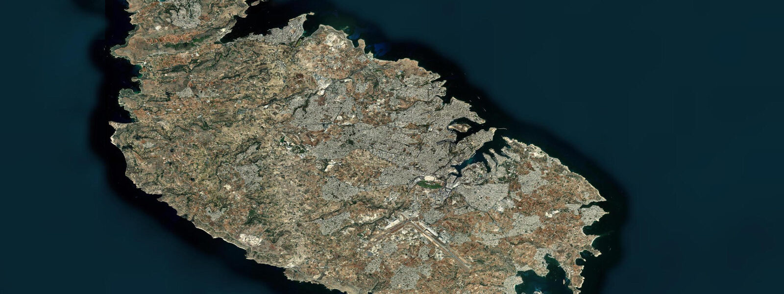
Marsaxlokk Bay sits at the southeast corner of Malta, opening wide to the east-southeast in a shallow arc of limestone and sand. The village of Marsaxlokk — the name derives from Arabic via Maltese, meaning harbour of the southeast wind — has been a working fishing settlement for at least a thousand years. Today it holds the title of Malta's largest fishing village, a fact you can read immediately from the water: the bay is carpeted in luzzu.
The luzzu is the symbol of Maltese maritime culture. These flat-bottomed wooden boats — roughly 7 metres stem to stern, painted in deep red, yellow, green, and blue — carry the Eye of Osiris on each bow prow, a pre-Christian protective symbol that has persisted through Phoenician, Roman, Arab, and Catholic Malta without interruption. At Marsaxlokk they moor three or four deep along the village quay, rising and falling with the harbour swell. The tidal range here is among the smallest in the Mediterranean: mean spring range 0.2 m, neap range 0.1 m. A 0.15 m tide change across a full 6-hour cycle is not a current you navigate — it is a slow, barely visible breath. The luzzu fleet moors and unmoors on fishing schedules, not tidal ones.
The Sunday market along the Marsaxlokk promenade is the most direct interface between the fleet and visitors. It opens daily for general goods and souvenirs, but expands significantly on Sunday mornings when the morning catch arrives: lampuki (mahi-mahi, the island's autumn flagship), swordfish, dentex, octopus, and sea bream laid out on trestle tables within metres of the boats that caught them. By 10:00 the quayside is impassable. Anglers watching the market from the village jetty on a Sunday morning should know that the water at their feet drops to around 3 m at the quay and reaches 6-8 m toward the bay mouth — not technically demanding, but the bottom is sandy limestone rubble, productive for saddled bream and mullet with simple ledger rigs.
The bay's character is defined by its bottom. At 3-8 m depth throughout the enclosed portion, the sandy floor scatters light upward even in moderate sun. At low sun angles — early morning, late afternoon — the water turns a dense jade green that looks implausible for a sea. Photographers working this bay should position for golden hour from the southern promenade where the luzzu fleet, Valletta peninsula faintly visible on the horizon, and the green-lit water all align. There is no significant low-water exposure: the bay does not drain, does not reveal sand flats, does not produce tidal pools of any consequence. The 0.2 m range simply cannot move enough water to uncover the bottom. Plan any shoreline photography around light, not tide height.
At the eastern end of the bay, Delimara Point marks Malta's true southeast corner. The 3 km walk from Marsaxlokk village to the point runs along a road past the Delimara power station — Malta's primary fuel-oil generation plant, its stack visible from most of the bay. The power station is operational and private; the coast beyond it is accessible on foot. St. Peter's Pool, roughly 2.5 km from the village, is a natural swimming hole cut by the sea into the limestone platform. At low water (such as it is: 0.05-0.10 m below mean sea level) the pool is calmer and its edges more exposed for entry and exit. At mean and high water the ledges are submerged and the pool becomes rougher in any easterly swell. There are no facilities at St. Peter's Pool — no changing rooms, no café, no lifeguard. Entry and exit are over raw limestone. The water is clear to the bottom at roughly 4 m.
The Freeport container terminal occupies the western shore of Marsaxlokk Bay, beginning about 1.5 km from the fishing village. Container ships of up to 350 m berth here; their superstructures are visible above the village roofline from the promenade. Kayakers and paddleboarders launching from the village should stay in the northern half of the bay, away from the terminal approach lanes. The bay's enclosed shape means wind chop is the main hazard rather than ocean swell — Marsaxlokk opens southeast, so a sustained Sirocco (southeasterly) will push a short, steep chop into the bay within a few hours. The same orientation means the bay is protected from the Gregale (northeast) and Majjistral (northwest) that affect Malta's north coast.
For families with children, the lack of tidal variation is almost entirely positive: the water level at the village beach steps does not change in any meaningful way between morning and afternoon. The beach pebbles and sandy patches in front of the promenade are accessible throughout the day. The shallow, warm bay water — surface temperatures reach 28°C in August — heats quickly in summer and holds heat into October. Swimming conditions here are determined by wind direction, not tide tables.
Tide data for Marsaxlokk comes from the Open-Meteo Marine API, a gridded model product. Timing accuracy is ±45 minutes, height accuracy ±0.3 m — usable for trip planning, not for navigation.
Tide questions about Marsaxlokk, Southern Harbour District
Quick answers to the most common questions about tide times, range, and water access at Marsaxlokk, Southern Harbour District.
Does the tide actually matter for visiting Marsaxlokk?
For most purposes, no. The mean tidal range at Marsaxlokk is 0.1-0.2 m — less than the variation from wind-driven swell or a passing boat wake. The fishing village promenade, the Sunday market, and the luzzu quay are accessible at all tide states. The sandy bay bottom stays submerged throughout the tidal cycle. The only context where tide height is worth checking is St. Peter's Pool at Delimara Point, where a low reading (near 0.0 m) gives calmer, slightly more exposed limestone ledges for entry. Even there, the difference between low and high water is under 0.2 m.
What is the best time to photograph the luzzu fleet at Marsaxlokk?
Early morning on Sunday. The fishing boats return and the market is setting up from around 06:30; the light is low and the quay is active before the crowds arrive. The bay's southeast orientation means the sun rises almost directly over the water in summer, backlighting the fleet from about 06:00 to 08:00. The green-tinted water caused by the sandy bottom and shallow depth is most vivid in low-angle light. Bring a polarising filter to cut the surface glare. By 10:00 the promenade is packed with market visitors and the photographic angles become difficult to hold.
Is it safe to kayak or paddleboard in Marsaxlokk Bay?
The enclosed bay is generally suitable for paddling, but stay in the northern half, away from the container terminal approach on the western shore. The main hazard is Sirocco — a sustained southeast wind funnels directly into the bay and builds a short, steep chop within two to three hours. Check wind forecasts before launching; if the Sirocco is forecast above 15 knots, postpone. Tidal currents are negligible (range 0.1-0.2 m) and do not affect paddling conditions. Launch from the village beach steps or the small sandy areas north of the promenade. There are no dedicated kayak launch facilities at Marsaxlokk.
How do I reach St. Peter's Pool from Marsaxlokk village?
Walk or drive east along the Delimara road from the village — approximately 2.5 km to the pool, 3 km to Delimara Point itself. On foot it takes around 35 minutes each way. The road passes the Delimara power station (private, do not enter). After the power station, a footpath leads down to the limestone platform. Wear shoes you can get wet: the limestone entry ledges are rough and slightly submerged at mean water level. There are no facilities at the pool — no shade, no water, no toilets. Bring everything you need. The pool is best in morning before the sun is directly overhead and before afternoon easterly sea breezes arrive.
When does the Marsaxlokk Sunday fish market run and what is sold?
The market operates daily along the Marsaxlokk promenade for general goods and local handicrafts, but the fish market is largest on Sunday mornings, typically from around 06:30 to 12:00. The catch varies by season: lampuki (mahi-mahi) is the autumn highlight, running September to November; swordfish is common in summer; dentex, sea bream, octopus, and various Mediterranean species are available year-round. Prices are set by the vendors and negotiation is normal. The fish comes directly from the luzzu fleet moored at the quay — most boats unload on Saturday evening or early Sunday morning. Arrive before 09:00 for the best selection.
7-day tide table — Marsaxlokk, Southern Harbour District
Heights relative to MSL. Predictions: Open-Meteo Marine (MeteoFrance SMOC, 0.08° grid) — heights relative to MSL (not chart datum / LAT). Model-derived.
| Day | Type | Time | Height |
|---|---|---|---|
| Fri 19 Jun | Low | 02:00 | -0.5m |
| High | 18:50 | -0.4m | |
| Sat 20 Jun | — | ||
| Sun 21 Jun | Low | 02:00 | -0.6m |
| Mon 22 Jun | — | ||
| Tue 23 Jun | — | ||
| Wed 24 Jun | — | ||
| Thu 25 Jun | High | 13:00 | -0.4m |