Marsaskala tide times
Marsaskala tide forecast — heights relative to MSL.
Today's tide times for Marsaskala
Tide times at Marsaskala on Saturday, 4 July 2026: first low tide at 02:00am, first high tide at 06:10pm. Sunrise 05:49am, sunset 08:21pm.
Tide chart for Marsaskala
24-hour cosine-interpolated curve around the present moment. Heights relative to MSL. Predictions: Predictions: Open-Meteo Marine (MeteoFrance SMOC, 0.08° grid).
Sun, moon and conditions on Sat 04 Jul
Snapshot at build time — refreshes daily. Sea state from Open-Meteo Marine.
Highs and lows next 7 days
Every predicted high and low for the next week, with the daily tidal coefficient (0–120; higher = bigger swing, > 95 means stronger currents).
Other spots nearby
The three closest curated TideTurtle locations to Marsaskala, measured by great-circle distance.
Today's solunar windows
Solunar tradition: major periods are the ≈3h windows around moon transit and opposition; minor are ≈2h around moonrise and moonset. Pair with the local tide stage and wind for the best read.
About tides at Marsaskala
A short guide to the coastline at Marsaskala — geography, sea state, and what the tide is actually doing under your feet.
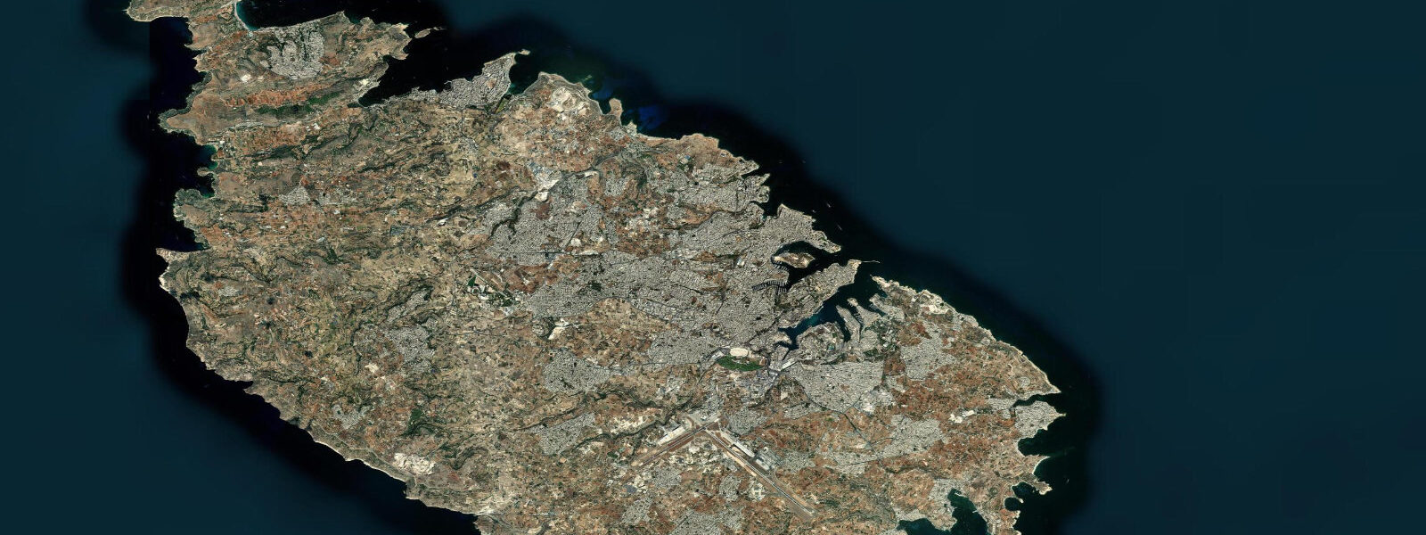
Marsaskala is a fishing village at the head of a long, narrow sheltered bay on Malta's southeastern coast, 12 km southeast of Valletta, that has grown steadily into a residential town without entirely losing the promenade and fishing-village character that defined it. The Marsaskala Bay (Marsaxlokk Bay's neighbour to the north) cuts 3 km inland from the coast, sheltered on both sides by low limestone headlands; the village wraps around the head of the bay with a waterfront promenade where traditional Maltese luzzu fishing boats and dghajsa water taxis are moored alongside the pleasure craft.
Boċċi — the Maltese variant of bowls, played with steel balls on a raked gravel court — is played on the promenade courts at Marsaskala and at several other seafront locations around Malta. The game is taken seriously: formal leagues operate, and the seafront courts are in regular use on evenings and weekends throughout the year. The sound of steel balls striking on a calm evening is the characteristic Marsaskala harbour ambiance.
Peter's Pool (Ħnejjiet ta' San Pietru), 2 km south of Marsaskala village, is a natural swimming platform in the coastal limestone: wave erosion has created a series of smooth-floored channels and pools in the rock at the cliff base, accessible by a short walk from the road and a steep descent to the water. The pools are filled and refreshed by the sea at high tide; at low water they can be warm and calm enough for extended swimming. The geometry requires moderate swimming ability and confidence on the rocky access; it is not a beach, and entry is from the rock platform directly into open water 3 to 4 m deep. The view from the platform extends south toward Delimara Point and the Marsaxlokk power station — functional industrial coast, but the swimming quality in calm conditions is among the better rock-platform experiences on Malta.
St. Thomas Bay, 1 km north of Marsaskala, has a sandy beach accessible by road — one of the few south-facing sandy beaches on the Malta main island, sheltered from the northwest and with a reputation for warmer water temperatures than the exposed northern coast. Zonqor headland, between Marsaskala and St. Thomas Bay, provides a viewpoint over both bays.
The Mediterranean tidal regime at Marsaskala is microtidal: mean spring range 0.3 to 0.4 m. Marsaskala Bay's semi-enclosed geometry reduces the tidal amplitude slightly at the bay head compared to the open coast. Storm surges from southerly Sirocco events can raise the water level at the head of the bay by 0.2 to 0.4 m beyond the astronomical prediction — the bay's funnel geometry concentrates the setup. Predictions on this page come from Open-Meteo Marine gridded model. For authoritative Maltese tide data, Transport Malta publishes tide tables; the Valletta gauge is the closest reference station.
Tide questions about Marsaskala
Quick answers to the most common questions about tide times, range, and water access at Marsaskala.
When is the next high tide at Marsaskala?
The hero block at the top of this page shows the next predicted high at Marsaskala in local Central European Time (CET/CEST, UTC+1/UTC+2). Marsaskala has a Mediterranean microtidal tide with a spring range of 0.3 to 0.4 m. The sheltered bay head sees a slightly reduced tidal amplitude and a lag behind the open coast. Transport Malta publishes the authoritative tide tables for Maltese waters; the Valletta gauge is the nearest reference station.
What is the tidal range at Marsaskala?
Mean spring range is 0.3 to 0.4 m on the open Malta coast; slightly less at the head of Marsaskala Bay due to the sheltering effect of the bay geometry. Neap range compresses to 0.1 to 0.2 m. Sirocco (southerly) storm setup can add 0.2 to 0.4 m above the predicted level at the bay head — enough to briefly flood the lower promenade in extreme events. The astronomical tide is otherwise a minor influence on day-to-day water conditions here.
Where do these tide predictions come from?
Open-Meteo Marine, a free gridded global ocean model. At Marsaskala's 0.3 to 0.4 m spring range, the model's typical accuracy (plus or minus 45 minutes, 0.2 to 0.3 m) is comparable to the total signal. For authoritative Maltese tide data, Transport Malta and the University of Malta's Physical Oceanography Research Group publish tide tables. The Valletta gauge is the standard reference for the southeastern Malta coast.
Is Peter's Pool accessible and safe to swim?
Peter's Pool is accessible by car (parking on the road above) and a 10-minute walk on a rough limestone path to the cliff edge, then a careful descent on carved rock steps to the pool level. The pools are natural rock formations at the cliff base, filled by the sea — there is no sand, no gradual entry, and no lifeguard. Entry is by jumping or lowering into clear water 3 to 4 m deep. This is suitable for confident swimmers who are comfortable with deep open-water entry from rock. Avoid the site in any swell above 0.5 m from the south — wave surge in the pools can be significant and unpredictable in rough sea conditions. Calm summer mornings before the afternoon sea breeze is the ideal window.
Is this safe to use for navigation?
No. TideTurtle is a planning tool for recreational coastal activity, not a navigation resource. Marsaskala Bay is used by pleasure craft; the bay is unlit and the approach requires awareness of the rocky headlands at the entrance. Transport Malta publishes the authoritative charts for Maltese waters. Open-Meteo Marine gridded predictions do not replace authoritative navigation sources.
7-day tide table — Marsaskala
Heights relative to MSL. Predictions: Open-Meteo Marine (MeteoFrance SMOC, 0.08° grid) — heights relative to MSL (not chart datum / LAT). Model-derived.
| Day | Type | Time | Height |
|---|---|---|---|
| Sat 04 Jul | Low | 02:00 | -0.4m |
| High | 18:10 | -0.3m | |
| Sun 05 Jul | Low | 00:10 | -0.5m |
| High | 18:50 | -0.3m | |
| Mon 06 Jul | Low | 01:00 | -0.5m |
| High | 07:00 | -0.3m | |
| Tue 07 Jul | Low | 01:50 | -0.5m |
| Wed 08 Jul | — | ||
| Thu 09 Jul | — | ||
| Fri 10 Jul | High | 12:00 | -0.2m |