Birżebbuġa, Southern Harbour District tide times
Birżebbuġa, Southern Harbour District tide forecast — heights relative to MSL.
Today's tide times for Birżebbuġa, Southern Harbour District
Tide times at Birżebbuġa, Southern Harbour District on Friday, 19 June 2026: first low tide at 02:00am, first high tide at 06:50pm. Sunrise 05:45am, sunset 08:20pm.
Tide chart for Birżebbuġa, Southern Harbour District
24-hour cosine-interpolated curve around the present moment. Heights relative to MSL. Predictions: Predictions: Open-Meteo Marine (MeteoFrance SMOC, 0.08° grid).
Sun, moon and conditions on Fri 19 Jun
Snapshot at build time — refreshes daily. Sea state from Open-Meteo Marine.
Highs and lows next 7 days
Every predicted high and low for the next week, with the daily tidal coefficient (0–120; higher = bigger swing, > 95 means stronger currents).
Other spots nearby
The three closest curated TideTurtle locations to Birżebbuġa, Southern Harbour District, measured by great-circle distance.
Today's solunar windows
Solunar tradition: major periods are the ≈3h windows around moon transit and opposition; minor are ≈2h around moonrise and moonset. Pair with the local tide stage and wind for the best read.
About tides at Birżebbuġa, Southern Harbour District
A short guide to the coastline at Birżebbuġa, Southern Harbour District — geography, sea state, and what the tide is actually doing under your feet.
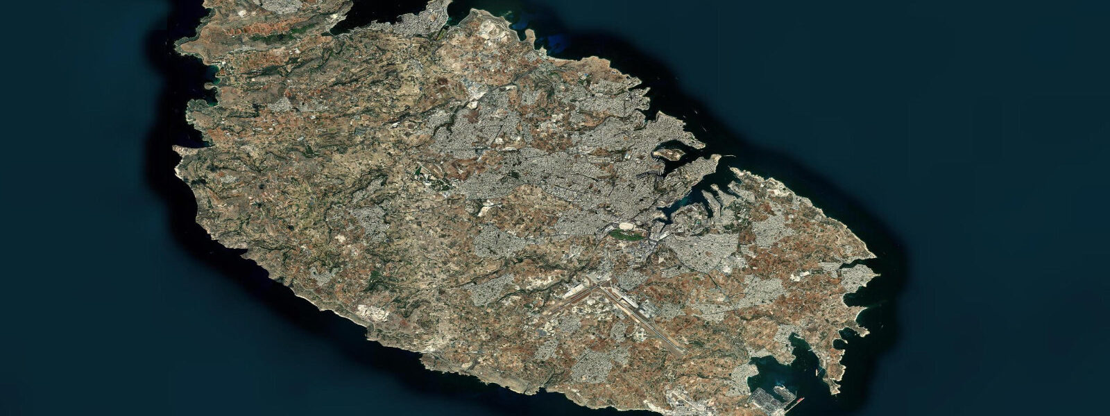
Birżebbuġa sits at Malta's southeast corner, where a fine-sand beach — Pretty Bay, the English translation of the village name — runs directly alongside one of the Mediterranean's busiest container terminals. On any given morning you can be swimming in clear, warm water while a container ship 300 m long creeps past to its berth at Malta Freeport. It is a genuinely odd juxtaposition, and it defines the character of the place.
The beach itself is about 200 m of maintained sand, managed by Malta's beach authority. At low water — and low water here means perhaps 0.05-0.10 m below mean sea level, given a mean tidal range of 0.1-0.2 m — the sand extends 30-40 m from the promenade wall to the water's edge. At mean sea level, the beach narrows to 20-25 m. The difference is measurable but not dramatic. Mediterranean microtidal means the beach is effectively the same width whether you arrive at 08:00 or 16:00. The sandy bottom slopes gradually, reaching 2-3 m depth at around 50 m from shore, which makes it one of the safer family beaches on Malta's south coast.
The water is warm — 27-28°C in August — and exceptionally clear in calm conditions. The clarity is partly an illusion of the Freeport proximity: the terminal's outer breakwater shelters the bay from easterly swell, creating a more sheltered sea state than the exposed coastline south of Delimara. When the Sirocco blows from the southeast, Pretty Bay is one of the first places on Malta's south coast to see chop build, and the beach closes to swimming in the harbour authority's informal bad-weather protocol. On those days the Freeport terminal, a kilometre to the northeast, is clearly visible behind a veil of blown spray.
Above the bay, perhaps 150 m from the beach and 20 m in elevation, is Għar Dalam cave — and here is where the tidal story of Birżebbuġa becomes genuinely interesting. The cave contains the oldest evidence of human habitation in Malta, dated to approximately 7,400 years BP. But the lower cave layers hold something older: bones of Pleistocene megafauna — dwarf elephants (Elephas falconeri, shoulder height around 90 cm), dwarf hippopotami, and giant dormice — that lived on Malta during the Pleistocene, when sea levels were 60-120 m lower than today. Malta was then connected, or nearly connected, to the Sicilian land mass, and the animals walked in. The hippo bones in the lower cave levels were deposited when the cave was at or near sea level during a higher Pleistocene sea-stand — the cave opening, now roughly 6 m above the current high-water mark, has been alternately submerged and exposed multiple times as ice ages cycled through.
This is directly relevant to anyone who reads tide pages. The water line you see at Birżebbuġa beach today — oscillating through a 0.2 m tidal range around a mean that itself shifts by millimetres per year — is a snapshot in a geological story measured in tens of metres and tens of thousands of years. The 0.10 m reading on the tide gauge at 13:45 this afternoon and the hippo femur in Għar Dalam's lower chamber are the same story at different time scales. The cave museum is open Tuesday through Sunday, 09:00 to 17:00; the entrance fee covers the cave and the adjacent museum of Maltese natural history.
For shore fishing, the limestone ledges around the bay headlands are productive for saddled bream, grey mullet, and occasional octopus. The terminal breakwater is off-limits — it is active port infrastructure. The rocky points north and south of Pretty Bay are accessible on foot and give clean water over rocky substrate at 2-4 m depth. Ledger rigs with bread or prawn work well for mullet along the beach margins at dusk. The tide has no meaningful effect on fishing timing here; the light change at dawn and dusk drives activity more than the 0.15 m tidal cycle.
Paddleboarders and kayakers can launch from the beach directly. The bay is sheltered from northwest and northeast winds; an easterly Sirocco is the wind to avoid. Morning conditions are typically the calmest as thermal winds develop through the afternoon. Given the terminal traffic, stay inside the bay mouth rather than paddling around Cape Delimara to the south.
Family logistics at Pretty Bay are straightforward: the beach has showers, a seasonal café, and pedalos for hire. Parking is available on the promenade road, tight in July and August. The combination of child-friendly sand depth, warm water, and shelter from the Freeport breakwater makes this one of the more forgiving south Malta beaches for younger children.
Tide data for Birżebbuġa comes from the Open-Meteo Marine API, a gridded model product. Timing accuracy is ±45 minutes, height accuracy ±0.3 m — usable for trip planning, not for navigation.
Tide questions about Birżebbuġa, Southern Harbour District
Quick answers to the most common questions about tide times, range, and water access at Birżebbuġa, Southern Harbour District.
Is Pretty Bay beach affected by the nearby Freeport container terminal?
Directly, in two ways: the terminal's outer breakwater shelters the bay from easterly swell, making Pretty Bay calmer than exposed south Malta coastline. And the visual presence of the terminal — its cranes and container stacks — is constant from the beach. Malta's environmental agency monitors water quality at Pretty Bay regularly; the beach holds a Blue Flag designation in most seasons, indicating water quality meets EU bathing standards. The terminal handles container cargo rather than bulk liquids, so contamination risk from normal operations is low. In rough easterly weather, port traffic does not stop and the beach does close to swimming.
What is Għar Dalam and is it worth visiting from the beach?
Għar Dalam is a 144-metre limestone cave about 150 m uphill from Pretty Bay. The lower cave layers contain Pleistocene megafauna bones — dwarf elephants and dwarf hippopotami — dating to periods when sea levels were 60-120 m lower and Malta was connected or nearly connected to Sicily. The upper layers hold the earliest human occupation evidence in Malta, approximately 7,400 years old. The cave itself is a 20-minute walk from the beach; the museum is adjacent. Opening hours are Tuesday through Sunday, 09:00 to 17:00. It is the only location in Malta where the full depth of the island's Pleistocene past is directly visible and interpreted, and it takes about 45 minutes to do properly.
Does the tide change how much beach is available at Pretty Bay?
Barely. The mean tidal range at Birżebbuġa is 0.1-0.2 m. At the lowest tidal readings, the sand extends roughly 30-40 m from the promenade wall to the water; at mean sea level it narrows to around 20-25 m. The difference between low and high water on any given day is under 15 m of beach width — noticeable if you are measuring it, irrelevant if you are laying out a towel. The beach is maintained sand with a gradual sandy slope, so there is no dramatic exposure of rock or reef at low water. Plan your visit around weather and crowds, not the tide chart.
What fish can I catch from the rocks around Pretty Bay?
The limestone ledges on the headlands north and south of the beach hold saddled bream, grey mullet, and occasional ornate wrasse. Octopus can be found in the rocky crevices south of the bay. The terminal breakwater is off-limits — it is active port infrastructure. Ledger rigs with bread, prawn, or mussel work for mullet and bream. Spinning with small lures along the rocky points can produce wrasse in summer. The Sirocco churns up sediment and drops fishing quality — plan for settled weather, typically mid-week rather than after a weekend blow. Tidal state does not significantly shift fish activity given the minimal range.
Can I paddleboard or kayak at Birżebbuġa safely?
Yes, with wind awareness. Pretty Bay is sheltered from northwest and northeast winds by the surrounding headlands and the Freeport breakwater structure to the northeast. The risk is a sustained Sirocco — a southeast wind that funnels directly into the bay and builds short chop quickly above 15 knots. Check the wind forecast before launching: southeasterly above 15 knots means stay on the beach. Launch directly from the sand. Stay inside the bay mouth; do not paddle around Cape Delimara to the south, which is exposed and has no easy landing for several kilometres. Morning typically gives the calmest window before thermal sea breezes develop.
7-day tide table — Birżebbuġa, Southern Harbour District
Heights relative to MSL. Predictions: Open-Meteo Marine (MeteoFrance SMOC, 0.08° grid) — heights relative to MSL (not chart datum / LAT). Model-derived.
| Day | Type | Time | Height |
|---|---|---|---|
| Fri 19 Jun | Low | 02:00 | -0.5m |
| High | 18:50 | -0.4m | |
| Sat 20 Jun | — | ||
| Sun 21 Jun | Low | 02:00 | -0.6m |
| Mon 22 Jun | — | ||
| Tue 23 Jun | — | ||
| Wed 24 Jun | — | ||
| Thu 25 Jun | High | 13:00 | -0.4m |