Sliema, Northern Harbour District tide times
Sliema, Northern Harbour District tide forecast — heights relative to MSL.
Today's tide times for Sliema, Northern Harbour District
Tide times at Sliema, Northern Harbour District on Friday, 19 June 2026: first low tide at 02:00am, first high tide at 06:50pm. Sunrise 05:45am, sunset 08:20pm.
Tide chart for Sliema, Northern Harbour District
24-hour cosine-interpolated curve around the present moment. Heights relative to MSL. Predictions: Predictions: Open-Meteo Marine (MeteoFrance SMOC, 0.08° grid).
Sun, moon and conditions on Fri 19 Jun
Snapshot at build time — refreshes daily. Sea state from Open-Meteo Marine.
Highs and lows next 7 days
Every predicted high and low for the next week, with the daily tidal coefficient (0–120; higher = bigger swing, > 95 means stronger currents).
Other spots nearby
The three closest curated TideTurtle locations to Sliema, Northern Harbour District, measured by great-circle distance.
Today's solunar windows
Solunar tradition: major periods are the ≈3h windows around moon transit and opposition; minor are ≈2h around moonrise and moonset. Pair with the local tide stage and wind for the best read.
About tides at Sliema, Northern Harbour District
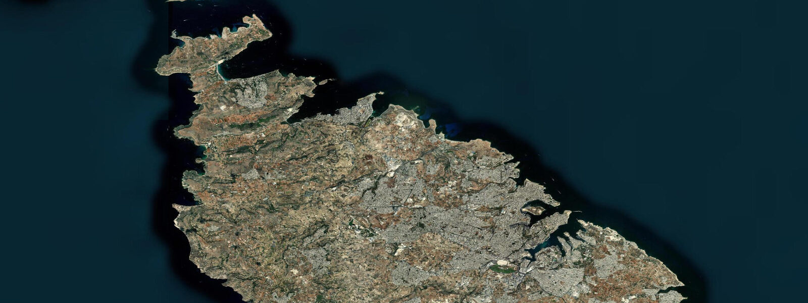
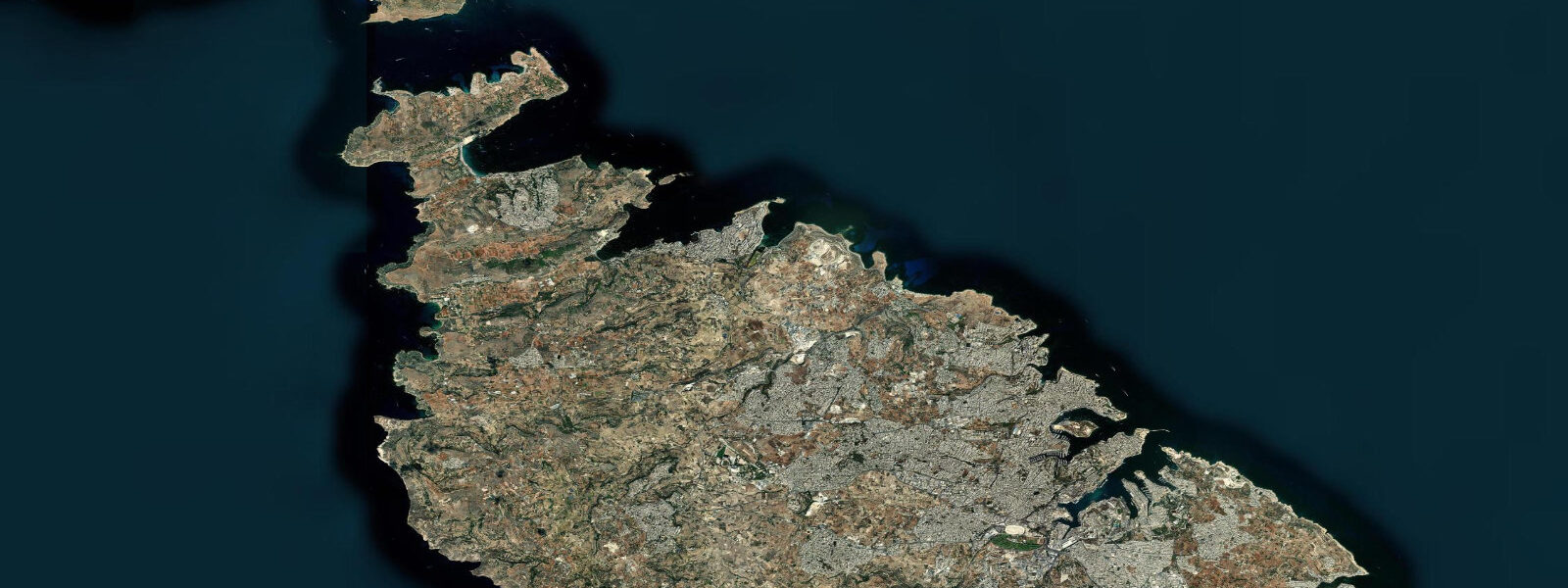
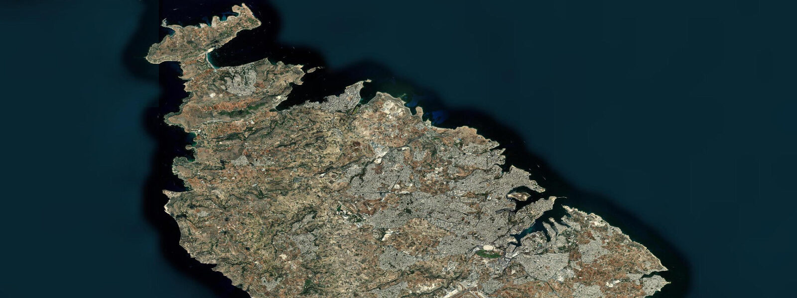
A short guide to the coastline at Sliema, Northern Harbour District — geography, sea state, and what the tide is actually doing under your feet.
Sliema and Valletta face each other across 700 m of Marsamxett Harbour, connected by a ferry that takes 8 minutes and runs every 30 minutes. The crossing is one of the most historically layered short sea passages in the world: the same stretch of water was contested during the Great Siege of 1565, ran with convoy supply ships through the WWII Siege of Malta, and today carries commuters, tourists, and school groups in a converted wooden launch under the shadow of Valletta's 16th-century bastions. At any tidal state — and tidal states at Sliema span a range of 0.1-0.2 m — the ferry runs. The tide has no say in the schedule.
This is worth stating plainly because it shapes how you plan a day at Sliema. Mediterranean microtidal means the water level when you arrive at the ferry terminal at Sliema Creek at 08:30 is within 0.1 m of what it will be when you return at 17:00. The limestone steps at the embarkation point, cut directly into the quay, are accessible at all times. The fortifications you see across the water — St. Elmo, the Lascaris bastions, the Grand Harbour entrance — are reflected in the same still-dark harbour water whether you look at low tide or high. Plan the crossing around the ferry timetable, not around tide windows.
Sliema's waterfront, Ix-Xatt ta' Sliema, runs approximately 2 km from Sliema Creek in the south around the headland to Tigné Point in the north. It is Malta's most-walked public promenade: cafés, restaurants, and retail at pavement level, apartment buildings and hotels stacked behind, and the limestone sea edge directly below the road. There is no sandy beach anywhere along this front. Swimming at Sliema is from lido steps — ledges and stairways cut directly into the natural limestone platform, each one a slightly different geometry depending on which stretch of shore you are on. Some lidos are operated by adjacent establishments and charge a daybed fee; others are fully public and require nothing but a towel and the ability to navigate wet limestone.
The limestone itself is the point. This is globigerina limestone, a fine-grained pale yellow sedimentary rock that covers most of Malta and forms the sea ledges here. At the water's edge it is always slightly slippery — coraline algae and biofilm colonise the splash zone year-round. The Mediterranean's minimal tidal range means the splash zone is narrow, the algae persistent, and the footing unpredictable. Reef shoes are strongly advisable for anyone entering or exiting the water from the Sliema lido steps, especially with children. Once in the water the ledges drop quickly to 2-4 m depth and the swimming is open and unobstructed.
Water quality at Sliema requires a geographic distinction. Marsamxett Harbour — the inner water between Sliema and Valletta — is a working harbour: ferry traffic, leisure boats, the occasional coastal freighter. Swimming is prohibited in the inner harbour. Swimming is on the outer, seaward side of the Sliema headland, facing north and northeast, where the water is actively monitored and generally clear. The distinction is obvious on the ground: the promenade shifts character as you round the headland from the ferry terminal at the south to the open sea lidos at the north and west of the peninsula.
Tigné Point, the northern terminus of the promenade walk, was a British military fortification — Fort Tigné, built in 1793, is now part of a mixed-use development. From Tigné the view back across to Valletta's sea-facing bastions is the classic postcard angle: the fortifications rising directly from the water, their honey-coloured stone warm in morning or evening light. Photographers: the best light on the Valletta fortifications from Sliema is in the morning (east-facing walls lit from 07:00 to 11:00) and at blue hour after sunset. At that point the tidal range — 0.15 m spring, 0.10 m neap — is entirely irrelevant to the foreground water. The harbour is too deep and the range too small to produce any visible shoreline change. Shoot the reflections.
For anglers, the outer Sliema limestone ledges are accessible along the promenade and at Tigné Point. Saddled bream and grey mullet work the ledge edges; bait fishing with bread or small cubes of squid is standard. Evening is the most productive period. The ferry crossing at dusk is also an unexpectedly good vantage point for spotting fish movement in the Marsamxett channel — mullet shoals are visible from above in calm conditions.
Paddleboarders and sea kayakers should launch from the outer sea side of the Sliema headland, away from the harbour ferry lanes. The northern exposure means the Gregale (northeast wind) is the wind to watch; it can build quickly to whitecap conditions on the open sea side. The inner Marsamxett is calmer and technically paddleable but is a working harbour with ferry traffic — stay well clear of the crossing lanes.
Tide data for Sliema comes from the Open-Meteo Marine API, a gridded model product. Timing accuracy is ±45 minutes, height accuracy ±0.3 m — usable for trip planning, not for navigation.
Tide questions about Sliema, Northern Harbour District
Quick answers to the most common questions about tide times, range, and water access at Sliema, Northern Harbour District.
Does the Sliema to Valletta ferry run at all tide states?
Yes. The ferry operates on a 30-minute schedule and the 8-minute crossing is unaffected by tidal state. The mean tidal range at Sliema is 0.1-0.2 m — the Marsamxett Harbour is too deep and the range too small to affect navigation at any point in the cycle. The ferry runs from Sliema Creek (south end of the promenade, near the Strand roundabout) and lands at the Valletta waterfront. Services typically run from 07:00 to 23:00 or later in summer. The only conditions that interrupt the ferry are extreme weather events — a sustained Gregale storm or exceptionally rough harbour conditions. A 0.15 m tidal swing is not one of those conditions.
Where do people swim at Sliema, and is there a sandy beach?
There is no sandy beach at Sliema. Swimming is from lido steps cut into the natural limestone platform on the outer, seaward side of the headland — facing north and northeast, away from Marsamxett Harbour. Some lidos are operated by adjacent restaurants and require a daybed fee; others are fully public at no cost. The limestone is slippery with algae in the splash zone year-round — reef shoes are strongly recommended, especially for children. Swimming in the inner Marsamxett Harbour (the channel between Sliema and Valletta) is prohibited. The distinction is clear on the ground: the working harbour side versus the open-sea lido side of the headland.
What is the best spot and time to photograph the Valletta fortifications from Sliema?
The best angle is from the Sliema promenade (Ix-Xatt ta' Sliema) or from Tigné Point at the north end of the walk. Morning light (07:00 to 11:00) hits the east-facing Valletta bastions directly, turning the globigerina limestone warm amber. Blue hour after sunset produces strong reflections in the calm harbour water. The tidal range of 0.1-0.2 m does not change the waterline in any visible way — the harbour is deep and the fortifications rise directly from the quay. Focus on light angle and sea state rather than tide timing. A polarising filter helps cut surface glare in midday shooting.
Is sea kayaking or paddleboarding possible from Sliema?
Yes, from the outer sea side of the headland — not from the inner harbour. Launch from the limestone lido areas facing north and northeast. The main wind hazard is the Gregale (northeast), which builds quickly on the open sea side and can go from calm to choppy in under an hour. Check the wind forecast before launching; if Gregale is above 15-20 knots, the outer sea is uncomfortable to dangerous. Tidal currents at Sliema are negligible given the 0.1-0.2 m range. Avoid the Marsamxett ferry crossing lanes entirely — the ferries run to a fixed schedule and do not yield to small craft in their lane.
What fish can be caught from the Sliema waterfront limestone ledges?
Saddled bream and grey mullet are the most consistent catches along the outer limestone ledges. Ornate wrasse and two-banded bream appear in summer. Evening is the most productive fishing period; the outer lido areas at the northern end of the promenade are accessible after the daytime swimmers leave. Bait fishing with bread, mussel, or small squid cubes on a simple ledger rig produces bream; mullet are targeted with bread flake near the surface. The tidal range (0.1-0.2 m) does not create feeding windows or slack periods in any meaningful sense — fish activity tracks light change more than tidal state at Sliema.
7-day tide table — Sliema, Northern Harbour District
Heights relative to MSL. Predictions: Open-Meteo Marine (MeteoFrance SMOC, 0.08° grid) — heights relative to MSL (not chart datum / LAT). Model-derived.
| Day | Type | Time | Height |
|---|---|---|---|
| Fri 19 Jun | Low | 02:00 | -0.5m |
| High | 18:50 | -0.4m | |
| Sat 20 Jun | Low | 01:00 | -0.5m |
| Sun 21 Jun | High | 08:00 | -0.5m |
| Low | 14:00 | -0.5m | |
| Mon 22 Jun | High | 22:00 | -0.4m |
| Tue 23 Jun | Low | 03:00 | -0.5m |
| High | 11:00 | -0.4m | |
| Low | 17:00 | -0.5m | |
| Wed 24 Jun | — | ||
| Thu 25 Jun | High | 13:00 | -0.3m |