Malé, Maldives tide times
Malé, Maldives tide forecast — heights relative to MSL.
Today's tide times for Malé, Maldives
Tide times at Malé, Maldives on Sunday, 26 July 2026: first low tide at 05:00, first high tide at 11:54. Sunrise 06:03, sunset 18:21.
Tide chart for Malé, Maldives
24-hour cosine-interpolated curve around the present moment. Heights relative to MSL. Predictions: Predictions: Open-Meteo Marine (MeteoFrance SMOC, 0.08° grid).
Sun, moon and conditions on Sun 26 Jul
Snapshot at build time — refreshes daily. Sea state from Open-Meteo Marine.
Highs and lows next 7 days
Every predicted high and low for the next week, with the daily tidal coefficient (0–120; higher = bigger swing, > 95 means stronger currents).
Other spots nearby
The three closest curated TideTurtle locations to Malé, Maldives, measured by great-circle distance.
Today's solunar windows
Solunar tradition: major periods are the ≈3h windows around moon transit and opposition; minor are ≈2h around moonrise and moonset. Pair with the local tide stage and wind for the best read.
Cycle dates near Malé, Maldives
Next spring tide on Thu 30 Jul (range 0.9m). Last neap on Sun 26 Jul.
Spring tides cluster around new and full moons (biggest swings). Neap tides land on quarter moons (smallest swings). See the spring tide and neap tide glossary entries for the why.
About tides at Malé, Maldives
A short guide to the coastline at Malé, Maldives — geography, sea state, and what the tide is actually doing under your feet.
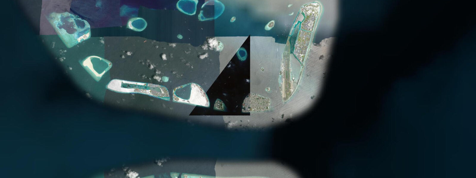
8-square-kilometre coral cay at the northern edge of Kaafu Atoll in the central Indian Ocean about 700 kilometres south-west of the Indian mainland. 4 metres, and roughly 80% of the 1,200 islands sit less than one metre above sea level. The country has been the most prominent voice in the UNFCCC Small Island Developing States bloc on sea-level rise since the 1989 Malé Declaration, and the 2009 underwater cabinet meeting that President Mohamed Nasheed convened on a coral reef to sign a climate-change document remains a defining international image of the existential threat.
3 on neaps. Two highs and two lows of unequal size each day, with the asymmetry varying through the lunar month and the equatorial position keeping the seasonal cycle weak. The atoll lagoon hydrodynamics are distinctive — the ring of coral reef and the natural channels (kandus) between the islands concentrate tidal exchange, with currents through the deeper kandus exceeding two knots on the change of tide.
The defining seasonal force is the monsoon. The iruvai north-east monsoon from December through April brings calmer weather on the western side of the atolls and the working dive season at the Banana Reef and HP reef sites; the hulhangu south-west monsoon from May through November drives swell, rain, and the surf season at the Pasta Point and Sultans breaks at the southern tip of North Malé Atoll about 8 kilometres south-east of Malé. Hulhumalé is the reclaimed island just north of Malé that the government built to provide a safer base for population growth — the new island sits about 2 metres above sea level and houses Velana International Airport, the Sinamale Bridge connection to Malé, and the long-term housing programme that targets a population of 240,000 by 2050.
Resort dhonis crossing between the atoll islands, the working tuna fleet out of the Malé fish market on the northern waterfront, the airport seaplane operations between Velana and the outlying island resorts, the snorkellers and divers reading reef-shelf access at low water, and the surf charters out to Pasta Point and Sultans all read the table for different windows. The Maldives Meteorological Service and the National Bureau of Statistics publish the authoritative tide tables; Open-Meteo Marine drives the gridded predictions on this page.
Tide questions about Malé, Maldives
Quick answers to the most common questions about tide times, range, and water access at Malé, Maldives.
When is the next high tide at Malé?
The hero block shows the next high tide at the Malé reference gauge in local Maldives time (MVT, UTC+5, no DST). The 7-day table covers all daily highs and lows. The mixed semidiurnal pattern produces two highs and two lows of unequal size each day, with the asymmetry varying through the lunar month and the equatorial position keeping the seasonal cycle weak.
What's the typical tide range at Malé?
Mean range at the Malé reference gauge is about 0.7 metres — a small Indian Ocean atoll signal. Spring tides push close to 1.1 metres and neaps drop near 0.3. The atoll geometry concentrates tidal exchange through the natural channels (kandus) between islands, where currents can exceed two knots on the change of tide. Sea-surface temperatures stay between 27 and 30 degrees year-round at the equatorial latitude.
Where do these tide predictions come from?
Open-Meteo Marine, a gridded global ocean model. Useful for planning resort dhoni crossings, snorkel-and-dive windows at the Banana Reef and HP reef sites, the Pasta Point and Sultans surf timing during the south-west monsoon, and the airport seaplane operations between Velana and the outlying island resorts. For authoritative Maldivian tide data, the Maldives Meteorological Service and the National Bureau of Statistics publish the official tide tables.
How does sea-level rise shape the working coast and the country's policy stance?
The Maldives is the lowest-lying nation on Earth — the average elevation is about 1.5 metres above mean sea level, the highest natural point in the country is 2.4 metres, and roughly 80% of the 1,200 islands sit less than one metre above sea level. The country has been the most prominent voice in the UNFCCC Small Island Developing States bloc on sea-level rise since the 1989 Malé Declaration, and the 2009 underwater cabinet meeting that President Mohamed Nasheed convened on a coral reef to sign a climate-change document remains a defining international image of the existential threat. Hulhumalé reclaimed island sits about 2 metres above sea level as a longer-term population centre.
Is this safe to use for navigation?
No. For piloting in or out of the Malé harbour, the Velana International Airport seaplane terminal, or any inter-atoll dhoni crossing use the Maldives Meteorological Service authoritative tide tables, the Maldives Ports Limited pilotage guidance, and the UK Hydrographic Office Indian Ocean pilot for the kandu channels between atolls. The kandu currents can exceed two knots on the change of tide and the reef-shelf hazards require working pilotage for any commercial transit.
8-day tide table — Malé, Maldives
Heights relative to MSL. Predictions: Open-Meteo Marine (MeteoFrance SMOC, 0.08° grid) — heights relative to MSL (not chart datum / LAT). Model-derived.
| Day | Type | Time | Height |
|---|---|---|---|
| Sun 26 Jul | Low | 05:00 | 0.2m |
| High | 11:54 | 0.7m | |
| Mon 27 Jul | Low | 05:00 | 0.2m |
| High | 12:12 | 0.8m | |
| Tue 28 Jul | Low | 05:40 | 0.1m |
| High | 12:40 | 0.8m | |
| Low | 19:20 | 0.3m | |
| Wed 29 Jul | High | 00:00 | 0.6m |
| Low | 06:12 | 0.1m | |
| High | 13:12 | 0.9m | |
| Low | 19:38 | 0.3m | |
| Thu 30 Jul | High | 00:40 | 0.6m |
| Low | 06:43 | 0.1m | |
| High | 13:36 | 1.0m | |
| Low | 19:55 | 0.3m | |
| Fri 31 Jul | High | 01:12 | 0.7m |
| Low | 07:12 | 0.1m | |
| High | 13:50 | 1.0m | |
| Low | 20:15 | 0.3m | |
| Sat 01 Aug | High | 01:52 | 0.8m |
| Low | 07:37 | 0.2m | |
| High | 14:15 | 1.0m | |
| Sun 02 Aug | Low | 04:00 | 0.7m |