
Hanifaru Bay tide times
Hanifaru Bay tide forecast — heights relative to MSL.
Today's tide times for Hanifaru Bay
Tide times at Hanifaru Bay on Saturday, 4 July 2026: first high tide at 05:00, first low tide at 07:55. Sunrise 05:59, sunset 18:24.
Tide chart for Hanifaru Bay
24-hour cosine-interpolated curve around the present moment. Heights relative to MSL. Predictions: Predictions: Open-Meteo Marine (MeteoFrance SMOC, 0.08° grid).
Sun, moon and conditions on Sat 04 Jul
Snapshot at build time — refreshes daily. Sea state from Open-Meteo Marine.
Highs and lows next 7 days
Every predicted high and low for the next week, with the daily tidal coefficient (0–120; higher = bigger swing, > 95 means stronger currents).
Other spots nearby
The three closest curated TideTurtle locations to Hanifaru Bay, measured by great-circle distance.
Today's solunar windows
Solunar tradition: major periods are the ≈3h windows around moon transit and opposition; minor are ≈2h around moonrise and moonset. Pair with the local tide stage and wind for the best read.
Cycle dates near Hanifaru Bay
Next spring tide on Sun 05 Jul (range 0.6m). Last neap on Sat 04 Jul. Next neap on Fri 10 Jul.
Spring tides cluster around new and full moons (biggest swings). Neap tides land on quarter moons (smallest swings). See the spring tide and neap tide glossary entries for the why.
About tides at Hanifaru Bay
A short guide to the coastline at Hanifaru Bay — geography, sea state, and what the tide is actually doing under your feet.
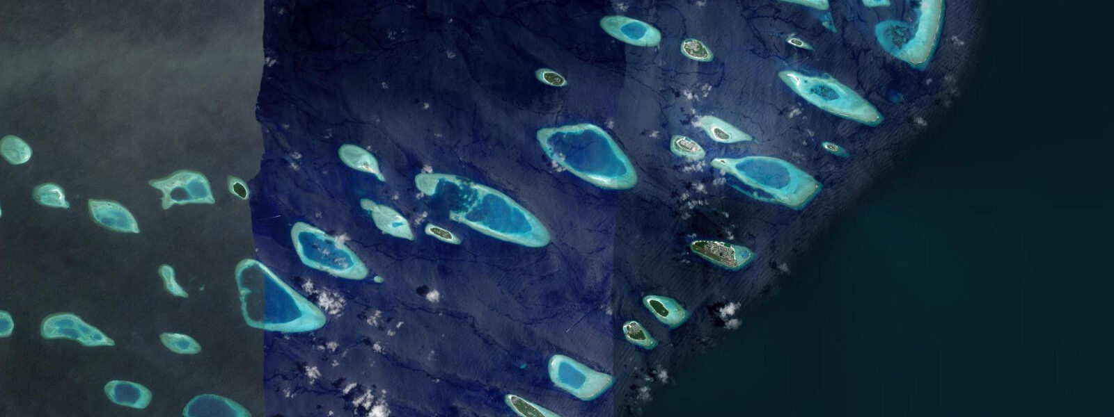
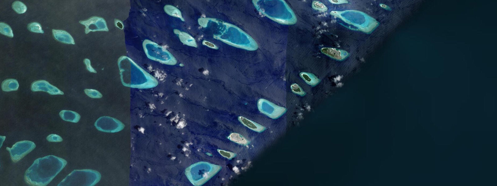
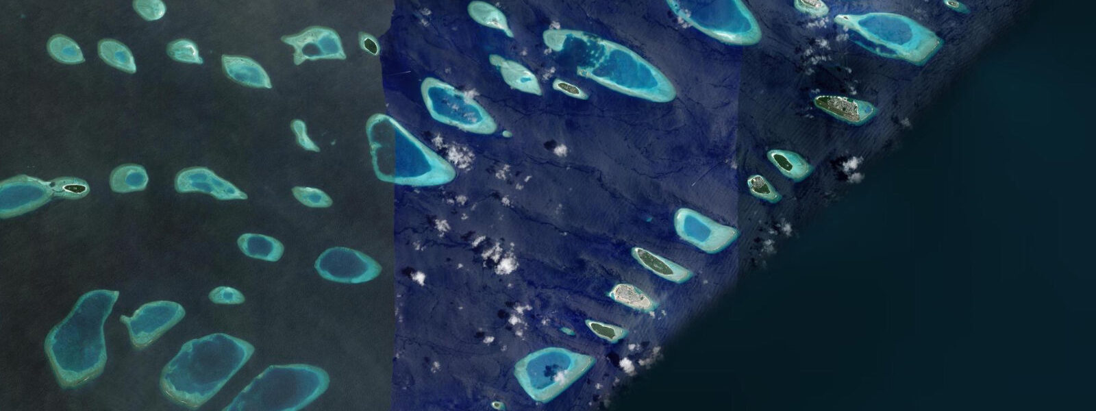
Hanifaru Bay is a shallow, enclosed bay on the eastern rim of Baa Atoll in the northern Maldives, approximately 250 metres across at its widest point. The bay's geometry — a funnel-shaped depression in the reef with a narrow northern entrance — interacts with the tidal cycle to create conditions that are unique in the world for the concentration and predictability of manta ray feeding aggregations. The mechanism is direct: on incoming spring tides during the southwest monsoon season (June to October), plankton-rich water from the open Indian Ocean is pushed through the bay's entrance and compressed into the bay's enclosed volume. Plankton densities reach levels that are otherwise unattainable in the open ocean, and manta rays — both reef mantas (Mobula alfredi) and oceanic mantas (Mobula birostris) — aggregate to exploit this resource.
The aggregation is tide-dependent in a precise sense: it occurs on the flood phase of spring tides, typically within 2 hours of low water when the flood is running at its strongest through the bay entrance. On days when the tidal amplitude is high, the plankton compression is most intense, and the largest aggregations are recorded. Up to 200 manta rays have been counted in Hanifaru Bay in a single session; whale sharks are also present, drawn by the same plankton bloom. On days with a large incoming spring tide and a wind direction that aligns with the bay entrance to push surface plankton inward, the density of mantas can be high enough that the animals stack vertically — 5 to 10 mantas in a column from the surface to 5 metres depth, performing forward somersaults to re-enter the plankton column with their mouths open.
Scuba diving is prohibited inside Hanifaru Bay by the Baa Atoll UNESCO Biosphere Reserve regulations. Snorkelling with a licensed guide is the only access. This restriction protects the mantas from bubble disturbance, which has been shown to interrupt feeding behaviour. Guides manage visitor numbers inside the bay — a maximum of 45 snorkellers at any one time — and govern entry and exit timing based on manta behaviour. Entry is not permitted when mantas are in chainfeeding formation, as this is the peak feeding state and disturbance at this point causes the formation to collapse and the aggregation to disperse.
Access to Hanifaru Bay requires a licensed boat and guide. The nearest inhabited island base is Dharavandhoo (Baa Atoll), a 15-minute boat ride. Most visitors access Hanifaru from a resort in Baa Atoll or on a liveaboard. The Maldives Underwater Initiative (MUI) has conducted long-term monitoring of the Hanifaru aggregation since 2006; researchers have individually identified over 3,000 manta rays by their unique spot patterns and track their movements across the Indian Ocean through return visits.
The aggregation season is June to October, aligning with the southwest monsoon. July and August consistently produce the largest aggregations when sea temperatures (28 to 30 degrees Celsius) and plankton blooms are at their peak. Outside the season (November to May), the bay sees occasional manta visits but not the mass aggregations. Water visibility inside the bay during active feeding is often reduced by the plankton density itself — 3 to 6 metres is typical during a feeding event, compared to 15 to 25 metres in open water on the same day.
Predictions on this page come from Open-Meteo Marine, a gridded global ocean model. Accuracy is typically within plus or minus 45 minutes on timing and 0.2 to 0.3 metres on height — model-derived, not from a local gauge. The local tide authority is the Maldives Meteorological Service, which publishes tidal predictions for Maldivian reference stations.
Tide questions about Hanifaru Bay
Quick answers to the most common questions about tide times, range, and water access at Hanifaru Bay.
Why does the manta ray aggregation at Hanifaru Bay depend on the tide?
The aggregation mechanism is directly tidal. Hanifaru Bay is a shallow, enclosed depression with a narrow northern entrance. On incoming spring tides — the largest tidal floods of the monthly cycle — plankton-rich Indian Ocean water is pushed through the entrance and compressed into the bay's enclosed volume. Plankton density in the compressed water rises to levels that trigger mass manta feeding. The aggregation occurs on the flood phase of spring tides, typically within 2 hours of low water when the flood current is strongest. On neap tides, when the tidal amplitude is smaller, the plankton compression is weaker and aggregations are smaller or absent.
When is the best time to visit Hanifaru Bay?
The aggregation season runs June to October, aligning with the southwest monsoon. July and August consistently produce the largest aggregations, with sea temperatures of 28 to 30 degrees Celsius and peak plankton blooms. Access requires a licensed boat and guide; most visits are organised from Baa Atoll resorts or liveaboards. On any given day in the season, the key variable is the tidal phase — the aggregation occurs on the flood of spring tides. A visit timed to a neap tide in August may see fewer mantas than a spring-tide day in early June. Ask your guide or operator to confirm the tidal phase before booking the day trip.
Can I scuba dive in Hanifaru Bay?
No. Scuba diving is prohibited inside Hanifaru Bay under the Baa Atoll UNESCO Biosphere Reserve regulations. Research has shown that exhaled scuba bubbles interrupt manta ray feeding behaviour, causing the aggregation to disperse. Snorkelling with a licensed guide is the only permitted access. The guide manages entry and exit timing based on manta behaviour — entry is not permitted during active chainfeeding formation. Maximum 45 snorkellers are allowed inside the bay at any one time. Dive operators in Baa Atoll run snorkel-only excursions to Hanifaru.
How large do manta ray aggregations at Hanifaru Bay get?
Up to 200 individual manta rays have been counted during a single session in Hanifaru Bay. This is the largest documented manta ray feeding aggregation in the world. Both reef mantas (Mobula alfredi, wingspan up to 5.5 metres) and oceanic mantas (Mobula birostris, wingspan up to 7 metres) are present. Whale sharks (Rhincodon typus) are also regularly recorded in the bay during feeding events. On days with the highest plankton density, mantas perform forward somersaults in columns of 5 to 10 animals stacked vertically from the surface to 5 metres depth — a behaviour called cyclone feeding.
What is the tidal range in Baa Atoll?
The tidal range in Baa Atoll is approximately 0.8 to 1.2 metres at springs — modest by global standards, but the tidal signal is ecologically critical because of Hanifaru Bay's amplifying geometry. The regime is mixed semidiurnal with a moderate diurnal inequality. The difference between spring tides (larger range, stronger currents) and neap tides (smaller range, weaker currents) directly determines the intensity of plankton concentration in the bay. Predictions here come from Open-Meteo Marine (±45 minutes on timing, ±0.3 m on height). Not for navigation; consult the Maldives Meteorological Service for reference station predictions.
8-day tide table — Hanifaru Bay
Heights relative to MSL. Predictions: Open-Meteo Marine (MeteoFrance SMOC, 0.08° grid) — heights relative to MSL (not chart datum / LAT). Model-derived.
| Day | Type | Time | Height |
|---|---|---|---|
| Sat 04 Jul | High | 05:00 | 0.3m |
| Low | 07:55 | 0.1m | |
| Sun 05 Jul | High | 15:21 | 0.9m |
| Low | 21:47 | 0.2m | |
| Mon 06 Jul | High | 03:40 | 0.6m |
| Low | 22:20 | 0.2m | |
| Tue 07 Jul | High | 15:54 | 0.8m |
| Low | 22:54 | 0.2m | |
| Wed 08 Jul | High | 16:18 | 0.8m |
| Low | 23:42 | 0.2m | |
| Thu 09 Jul | High | 07:00 | 0.7m |
| Fri 10 Jul | — | ||
| Sat 11 Jul | Low | 01:42 | 0.1m |
| High | 04:00 | 0.2m | |