Toliara tide times
Toliara tide forecast — heights relative to MSL.
Today's tide times for Toliara
Tide times at Toliara on Saturday, 4 July 2026: first low tide at 03:00am, first high tide at 07:03am, second low tide at 01:12pm. Sunrise 06:47am, sunset 05:31pm.
Tide chart for Toliara
24-hour cosine-interpolated curve around the present moment. Heights relative to MSL. Predictions: Predictions: Open-Meteo Marine (MeteoFrance SMOC, 0.08° grid).
Sun, moon and conditions on Sat 04 Jul
Snapshot at build time — refreshes daily. Sea state from Open-Meteo Marine.
Highs and lows next 7 days
Every predicted high and low for the next week, with the daily tidal coefficient (0–120; higher = bigger swing, > 95 means stronger currents).
Other spots nearby
The three closest curated TideTurtle locations to Toliara, measured by great-circle distance.
Today's solunar windows
Solunar tradition: major periods are the ≈3h windows around moon transit and opposition; minor are ≈2h around moonrise and moonset. Pair with the local tide stage and wind for the best read.
Cycle dates near Toliara
Last spring tide on Sat 04 Jul (range 1.9m). Next neap on Fri 10 Jul.
Spring tides cluster around new and full moons (biggest swings). Neap tides land on quarter moons (smallest swings). See the spring tide and neap tide glossary entries for the why.
About tides at Toliara
A short guide to the coastline at Toliara — geography, sea state, and what the tide is actually doing under your feet.
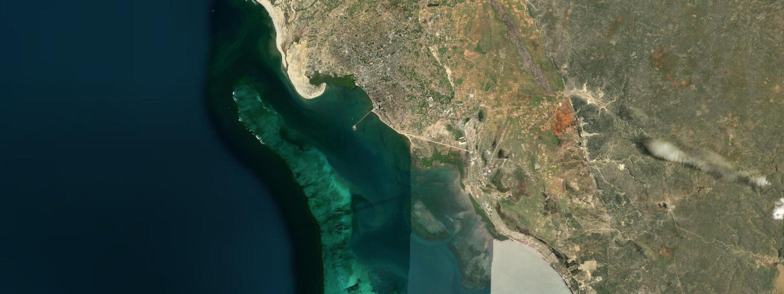
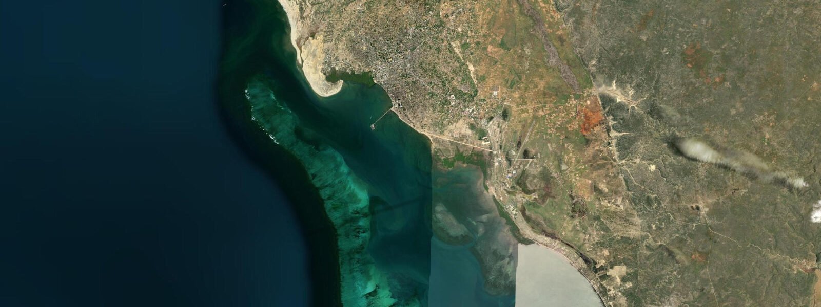
Toliara — formally Toliara, historically Tuléar — is the regional capital of the Atsimo-Andrefana region and the largest city on the southwest coast of Madagascar. It sits at the head of the Bay of Saint Augustine, a broad, reef-protected embayment where the Fiherenana River meets the Mozambique Channel. The city functions as the hub for everything on this coast: the port handles fuel, cargo, and fishing, and the market distributes produce from the spiny dry forest interior to the fishing villages along the reef.
The Bay of Saint Augustine is wide and shallow, sheltered from the open Indian Ocean swell by the barrier reef that runs offshore. The bay's inner margins are sand and reef flat; at spring low water, the flat extends 300 to 500 metres from the shore, exposing coral heads, sea cucumbers, and seagrass beds that are otherwise invisible. 5 metres.
The drop is visible against the port quay: at low water the pirogues are beached on the mud at the harbour edge; at high water they float at quay level. Port Toliara handles inter-island shipping and is the departure point for speedboat transfers south to Anakao and for sporadic cargo connections to the outer communities along the reef coast. The Mahavatse fishing community on the southern fringe of the city maintains one of the last active pirogue-building traditions on the southwest coast.
Traditional outriggers are hewn from a single log — typically from trees sourced inland — and finished with an outrigger float and boom lashed with natural fibre or increasingly with synthetic cord. Watching a hull being shaped by adze is a reminder that the tools and technique have not changed substantially since the Vezo first settled this coast. The Arboretum d'Antsokay lies 12 kilometres northeast of the city centre on the road toward Ihosy.
Founded by Hermann Petignat, a Swiss botanist who spent decades cataloguing the endemic plant life of southwest Madagascar, the arboretum now holds more than 900 plant species native to the region. The standout family is the Didieraceae — the spiny succulent trees that look from a distance like something between a cactus and a Dr. Seuss illustration, found nowhere else on Earth except this corner of Madagascar.
Allied with them are pachypodiums, endemic aloes, and a remarkable variety of succulents that have evolved to withstand near-zero annual rainfall. The arboretum is accessible at any tide state and makes a logical half-day from town when a low-water reef visit would need to wait. The beach south of the city centre at Toliara runs along the bay shore and is used by local families and fishers.
The open-ocean beaches — particularly the stretch north toward Mangily — are better for swimming, as the inner bay can be shallow and stirred by afternoon wind. The reef protects the lagoon from heavy swell, but the southerly trade wind often raises a short chop from early afternoon that makes snorkelling uncomfortable. Morning is generally calmer.
Toliara's climate is defined by aridity. Annual rainfall is around 350 millimetres, falling mostly in a concentrated wet season from December to March. The rest of the year is dry, hot, and sunny with a persistent southerly trade wind that picks up through the afternoon.
Sea temperatures run around 25 to 27°C at the surface through the dry season and slightly warmer in the austral summer. Humpback whales pass through the Mozambique Channel from July to September; the channel is visible from the higher ground south of the city and from the port, and blow spouts can sometimes be spotted on flat-calm mornings. The practical base for exploring the Toliara Coast, the city has guesthouses, hotels, restaurants, vehicle hire, and fuel.
Flights connect Toliara to Antananarivo on Air Madagascar. The university in Toliara has a marine biology faculty and runs ongoing research on the barrier reef system — a resource for anyone seeking current scientific data on reef health in the region. Predictions on this page come from Open-Meteo Marine, a gridded global ocean model.
3 metres on height — model-derived, not from a local gauge. For authoritative maritime information on Malagasy waters, consult the Délégation Générale à la Mer (DGMER) of Madagascar.
Tide questions about Toliara
Quick answers to the most common questions about tide times, range, and water access at Toliara.
What is the tidal range at Toliara and how does it affect the reef flat?
Toliara's tidal range on spring tides runs approximately 2.5 to 3.5 metres — one of the larger ranges on Madagascar's west coast. This drop exposes the reef flat in the Bay of Saint Augustine by 300 to 500 metres at spring low water, turning submerged lagoon into walkable terrain. The difference between neap and spring low water is significant: on neap tides the flat barely exposes. Check the tide table before planning any reef walk or snorkel from shore. The mixed semidiurnal pattern gives two highs and two lows per day, often unequal in size.
Where is the Arboretum d'Antsokay and what will I find there?
The Arboretum d'Antsokay is 12 kilometres northeast of Toliara's city centre on the road toward Ihosy, roughly a 20-minute drive. It holds more than 900 plant species endemic to southwest Madagascar, with the Didieraceae family — the extraordinary spiny succulent trees unique to this region — as the centrepiece. The arboretum is a research and conservation facility as well as a visitor site. The best time to visit is the dry season (April to November) when the track is accessible and the plants are in their characteristic arid-season form. Entry is ticketed and guided walks are available.
Is Toliara a good base for day trips along the Toliara Coast?
Yes. Toliara has the infrastructure — accommodation, vehicle hire, fuel, flights — that the smaller coastal villages lack. Ifaty is 27 kilometres north (40 to 60 minutes by road); Anakao is 50 kilometres south and reachable by speedboat from Toliara port in about two hours. The Reniala Reserve and Mangily beach are accessible in under an hour. Most visitors spend a night or two in Toliara to sort logistics then base themselves further up the coast at Ifaty or south at Anakao. The city's domestic airport connects to Antananarivo on Air Madagascar, making it a logical entry and exit point for the southwest.
Can I see traditional pirogue construction at Toliara?
The Mahavatse community on the southern fringe of Toliara maintains an active pirogue-building tradition. Traditional outrigger canoes are still shaped from single logs using adzes and hand tools, a technique the Vezo have used on this coast for centuries. The work happens in the open — on the beach and in the yards of the community — and visitors can watch without disrupting. The best time to observe is morning, before the heat of the day. There is no formal tour structure; showing up respectfully and asking permission before photographing is the correct approach.
What is the best season to visit Toliara?
The dry season from April to November is the practical window for most visits. Rainfall is near zero, roads and tracks are passable, and the southerly trade wind keeps temperatures bearable (27 to 32°C during the day). July to September adds humpback whale activity in the Mozambique Channel. The wet season from December to March brings short heavy rains that can make the coastal tracks impassable and reduce visibility on the reef. Sea temperatures are comfortable year-round — around 25 to 27°C in the dry season, slightly warmer in austral summer.
8-day tide table — Toliara
Heights relative to MSL. Predictions: Open-Meteo Marine (MeteoFrance SMOC, 0.08° grid) — heights relative to MSL (not chart datum / LAT). Model-derived.
| Day | Type | Time | Height |
|---|---|---|---|
| Sat 04 Jul | Low | 03:00 | -0.1m |
| High | 07:03 | 1.4m | |
| Low | 13:12 | -0.6m | |
| Sun 05 Jul | High | 07:40 | 1.3m |
| Low | 13:45 | -0.5m | |
| High | 20:02 | 1.4m | |
| Mon 06 Jul | Low | 02:16 | -0.5m |
| High | 08:18 | 1.1m | |
| Low | 14:24 | -0.5m | |
| High | 20:42 | 1.2m | |
| Tue 07 Jul | Low | 02:58 | -0.4m |
| High | 09:05 | 1.0m | |
| Low | 15:08 | -0.4m | |
| High | 21:26 | 1.1m | |
| Wed 08 Jul | Low | 03:46 | -0.3m |
| High | 10:02 | 1.0m | |
| Low | 16:07 | -0.2m | |
| High | 22:25 | 1.0m | |
| Thu 09 Jul | Low | 04:51 | -0.2m |
| High | 11:13 | 0.9m | |
| Low | 17:25 | -0.1m | |
| High | 23:45 | 0.9m | |
| Fri 10 Jul | Low | 06:11 | -0.1m |
| High | 12:45 | 0.9m | |
| Low | 19:02 | -0.1m | |
| Sat 11 Jul | High | 01:15 | 0.9m |