Toliara tide times
Toliara tide forecast — heights relative to MSL.
Today's tide times for Toliara
Tide times at Toliara on Friday, 31 July 2026: first low tide at 03:00am, first high tide at 05:48am, second low tide at 11:52am, second high tide at 06:08pm. Sunrise 06:41am, sunset 05:42pm.
Tide chart for Toliara
24-hour cosine-interpolated curve around the present moment. Heights relative to MSL. Predictions: Predictions: Open-Meteo Marine (MeteoFrance SMOC, 0.08° grid).
Sun, moon and conditions on Fri 31 Jul
Snapshot at build time — refreshes daily. Sea state from Open-Meteo Marine.
Highs and lows next 7 days
Every predicted high and low for the next week, with the daily tidal coefficient (0–120; higher = bigger swing, > 95 means stronger currents).
Other spots nearby
The three closest curated TideTurtle locations to Toliara, measured by great-circle distance.
Today's solunar windows
Solunar tradition: major periods are the ≈3h windows around moon transit and opposition; minor are ≈2h around moonrise and moonset. Pair with the local tide stage and wind for the best read.
Cycle dates near Toliara
Next spring tide on Sat 01 Aug (range 2.5m). Next neap on Thu 06 Aug.
Spring tides cluster around new and full moons (biggest swings). Neap tides land on quarter moons (smallest swings). See the spring tide and neap tide glossary entries for the why.
About tides at Toliara
A short guide to the coastline at Toliara — geography, sea state, and what the tide is actually doing under your feet.
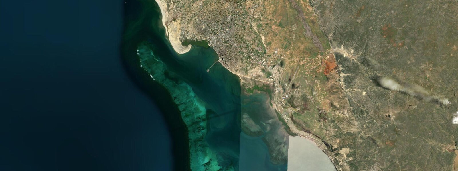
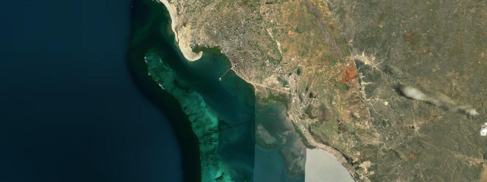
Toliara sits on the southwest coast of Madagascar where the Mozambique Channel meets one of the driest corners of the island — the spiny desert of the Mahafaly plateau runs inland, while the sea side is fringed by the Grand Récif de Toliara, a fringing reef system that curves around the bay and creates a protected lagoon of shallow, warm water between town and open ocean. The tide here is semidiurnal: two highs and two lows each day, with a mean range of roughly 2.0 to 3.5 metres on springs and neaps respectively. That is a meaningful range by Indian Ocean standards, and it shapes everything that happens on and near the water.
At a spring low — the lowest lows occur in the days following a new or full moon — the outer sections of the reef flat can drop to knee depth or less over the coral. The branching Acropora and table corals in those zones are easily damaged underfoot, and walking the reef flat barefoot on a low spring is both uncomfortable and ecologically corrosive. The better window for snorkelling the outer reef is the two to three hours either side of a mid-tide on the flood, when the water is moving over the reef edge, visibility is usually at its best, and the depth over the coral gives comfortable clearance. At high water the back lagoon behind the reef fills enough to kayak directly from the town beach toward the reef pass.
Kite-surfers based at Ifaty and Mangily — the beach resort strip about fifteen kilometres north of Toliara town — work one of the most reliable kite windows in the Indian Ocean. The south and southwest trades blow with enough consistency from April through October that riders sometimes describe the forecast as a formality: if the month is right, the wind is there. But the reef access at several of the kite launches north of town is tide-dependent. Some entry points require at least a metre over the reef flat to bring in a board without damage; local operators who have worked the area for years time their morning sessions to an incoming tide that clears the launch by mid-morning.
Anglers from the Vezo fishing communities south of Toliara and in the mangrove-fringed estuary systems north toward Ifaty work the tide as a direct fishing signal. The ebb concentrates baitfish at the reef passes as water drains from the lagoon; snapper, trevally and barracuda stack at these choke points, and the best fishing window in many sessions is the last two hours of the ebb and the first hour of the flood. Mangrove channel fishing for mullet and juvenile snapper runs best on the flood, when the channels fill and the fish disperse into the vegetation to feed. Traditional pirogues, paddled rather than motored, can navigate the lagoon through most of the tide cycle, but the reef passes require at least half a metre of depth for the keel and outrigger combination.
Divers heading to the outer reef wall and the deeper Mozambique Channel sites time their entries to the tidal exchange at the main pass south of town. A slack period of 20 to 40 minutes occurs at each high and each low; the current over the wall runs at a knot or more during the middle two hours of each half-tide. Most dive operators run a morning schedule timed to a manageable current and a maximum incoming flood on the wall — but schedules shift week to week as the tidal timing moves through the lunar cycle. Checking the actual tide time rather than assuming a fixed departure time is standard practice among operators who have been here more than a season.
Tide predictions on this page come from Open-Meteo Marine, a gridded global ocean model. The model is typically accurate to within plus or minus 45 minutes on timing and 0.2 to 0.3 metres on height. At Toliara's range of 2.0 to 3.5 metres, that uncertainty is a manageable fraction of the total signal for general planning — but not precise enough for reef navigation, pass timing in a vessel, or dive operations in strong current. The authoritative harmonic reference for Toliara is the SHOM (Service Hydrographique et Océanographique de la Marine) port file for Tuléar, available through SHOM's online catalogue. The Toliara port authority also holds gauge records. For any decision where being 45 minutes early or late on the tide time has consequences, use the SHOM data directly.
Tide questions about Toliara
Quick answers to the most common questions about tide times, range, and water access at Toliara.
When is the next high tide at Toliara?
The prediction block at the top of this page shows the next predicted high tide at Toliara in Madagascar local time (EAT, UTC+3). The tide here is semidiurnal — two highs and two lows each day, roughly 12 hours 25 minutes apart on the lunar cycle. The range varies from about 2.0 metres on small neaps to 3.5 metres on large springs, with the largest springs occurring in the days after a new or full moon. Times shift forward by about 50 minutes each day through the lunar cycle. For the authoritative harmonic prediction, the SHOM Tuléar port file is the reference.
Why is the tide range so much larger here than on other Indian Ocean coasts?
The Mozambique Channel between Madagascar and mainland Africa has a resonant geometry that amplifies the Indian Ocean tidal signal considerably. Mean range at Toliara runs 2.0 to 3.5 metres — significantly larger than, say, the Maldives (under 1 metre) or the Seychelles (under 1.5 metres). The southwestern Indian Ocean semidiurnal tide propagates into the channel and arrives at Toliara with a frequency close to the channel's natural resonance period, which produces the amplification. This is why the reef flat here drains noticeably at spring low rather than staying submerged as Indian Ocean reefs usually do.
Where do these tide predictions come from?
Predictions on this page come from Open-Meteo Marine, a free gridded global ocean model. It derives tidal heights from a geographic grid rather than from harmonic analysis of the local Toliara gauge record. Typical accuracy is within plus or minus 45 minutes on timing and 0.2 to 0.3 metres on height — usable for general activity planning at Toliara's range of 2.0 to 3.5 metres, but not precise enough for vessel navigation through reef passes or current-sensitive dive timing. The authoritative reference is the SHOM (Service Hydrographique et Océanographique de la Marine) harmonic publication for Tuléar.
Is the reef safe to snorkel at low tide?
Snorkelling the outer reef flat at spring low water is not recommended. Depth over the branching coral can drop to knee level or less, creating a collision risk and causing real damage to the coral structure. The recommended window is the two to three hours either side of the mid-tide flood, when water is moving over the reef, depth is comfortable, and the current is bringing plankton in from the channel. The back lagoon inside the reef is accessible for swimming and snorkelling at almost any tide state; it offers calmer, shallower water and is the standard family swim zone. Local dive and snorkel operators adjust their schedule weekly to match the tidal window.
Can this page be used for boat navigation through the reef passes?
No. Reef pass navigation at Toliara requires accurate depth knowledge, chart data, and current prediction beyond what Open-Meteo Marine gridded predictions provide. The Grand Récif de Toliara is extensive and the passes are narrow; depth in the passes changes by 2 to 3 metres between spring low and spring high, and the current during the middle two hours of each half-tide can exceed one knot. Use the SHOM (Service Hydrographique et Océanographique de la Marine) Tuléar chart and port file for any vessel transit, and consult the Toliara port authority or an experienced local operator for current pass conditions.
8-day tide table — Toliara
Heights relative to MSL. Predictions: Open-Meteo Marine (MeteoFrance SMOC, 0.08° grid) — heights relative to MSL (not chart datum / LAT). Model-derived.
| Day | Type | Time | Height |
|---|---|---|---|
| Fri 31 Jul | Low | 03:00 | 0.5m |
| High | 05:48 | 1.5m | |
| Low | 11:52 | -0.8m | |
| High | 18:08 | 1.7m | |
| Sat 01 Aug | Low | 00:15 | -0.7m |
| High | 06:15 | 1.6m | |
| Low | 12:22 | -0.8m | |
| High | 18:35 | 1.7m | |
| Sun 02 Aug | Low | 00:45 | -0.7m |
| High | 06:46 | 1.5m | |
| Low | 12:51 | -0.8m | |
| High | 19:03 | 1.7m | |
| Mon 03 Aug | Low | 01:14 | -0.7m |
| High | 07:15 | 1.5m | |
| Low | 13:21 | -0.7m | |
| High | 19:34 | 1.6m | |
| Tue 04 Aug | Low | 01:45 | -0.6m |
| High | 07:47 | 1.4m | |
| Low | 13:54 | -0.6m | |
| High | 20:04 | 1.4m | |
| Wed 05 Aug | Low | 02:16 | -0.5m |
| High | 08:22 | 1.2m | |
| Thu 06 Aug | Low | 02:55 | -0.4m |
| High | 09:06 | 1.0m | |
| Low | 15:15 | -0.2m | |
| High | 21:25 | 1.0m | |
| Fri 07 Aug | Low | 02:00 | 0.0m |