Nida tide times
Nida tide forecast — heights relative to MSL.
Tide chart for Nida
24-hour cosine-interpolated curve around the present moment. Heights relative to MSL. Predictions: Predictions: Open-Meteo Marine (MeteoFrance SMOC, 0.08° grid).
Sun, moon and conditions on Sat 27 Jun
Snapshot at build time — refreshes daily. Sea state from Open-Meteo Marine.
Highs and lows next 7 days
Every predicted high and low for the next week, with the daily tidal coefficient (0–120; higher = bigger swing, > 95 means stronger currents).
Other spots nearby
The three closest curated TideTurtle locations to Nida, measured by great-circle distance.
Today's solunar windows
Solunar tradition: major periods are the ≈3h windows around moon transit and opposition; minor are ≈2h around moonrise and moonset. Pair with the local tide stage and wind for the best read.
About tides at Nida
A short guide to the coastline at Nida — geography, sea state, and what the tide is actually doing under your feet.
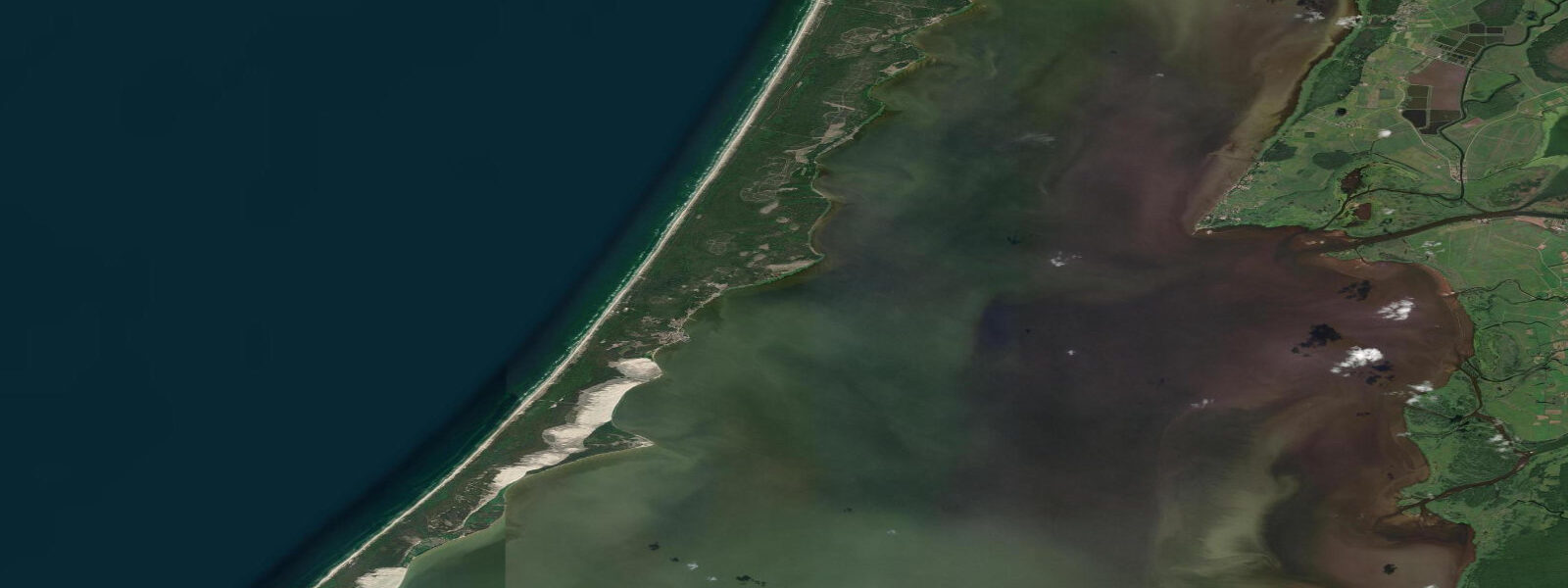
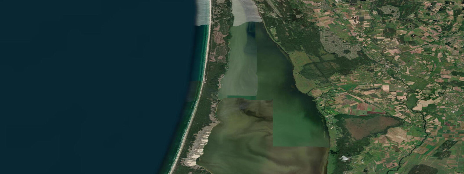
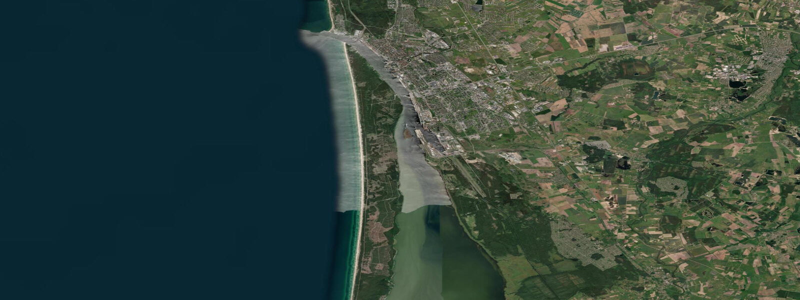
Nida sits at the southern end of the Lithuanian portion of the Curonian Spit — the UNESCO World Heritage sandbar that separates the Curonian Lagoon from the Baltic Sea. The Spit is 98 km long and nowhere more than 4 km wide; Nida is on the lagoon side, 50 km south of Klaipėda, with the highest dunes in Central Europe (up to 65 m) between the village and the Baltic beach. The Russian exclave of Kaliningrad begins 3 km south of Nida; the border is marked but the dune landscape continues uninterrupted into Russian territory.
Nida has two coastlines with different characters. The lagoon shore on the east side of the Spit is calm — the Curonian Lagoon is a freshwater-to-brackish enclosed body 1.5–4.0 m deep, protected from Baltic swells, and warm in summer (20–23 °C in July). The Baltic shore on the west side of the Spit, reached from the village by climbing the dune ridge (30-minute walk), faces the open Baltic with the same wind-driven water level variability and swell exposure as Palanga to the north.
Neither coastline has meaningful astronomical tides. The lagoon is essentially closed and has its own wind-driven seiche pattern; water level in the lagoon rises 0.3–0.6 m when northerly winds push Baltic water through the Klaipėda Strait into the lagoon, and drops by a similar amount when southerlies drain it. The Baltic side of the Spit shares the Lithuanian coast's wind-driven character: swell from westerly and northwesterly systems, water level rise of 0.2–0.5 m in sustained onshore wind, no tidal cycle.
For swimmers and beach families, the lagoon beach at Nida is the more child-friendly option. The calm, shallow water (0.5–1.0 m depth 20–30 m from shore), the warm lagoon temperature, and the absence of breaking waves make it a safer and more comfortable environment for young children than the Baltic beach. The lagoon beach in summer can develop a surface bloom of blue-green algae (cyanobacteria) during prolonged warm, calm, high-nutrient conditions — check for local warnings before swimming, particularly in July and August.
The dune ridge between the village and the Baltic is the iconic landscape of Nida. The Parnidis Dune, 52 m high on the Lithuanian side of the border, has a sundial monument at the top and provides a 360-degree view: the Baltic to the west, the lagoon to the east, the Russian dunes to the south. The dune surface is sensitive — the visitor path is flagged and boots are required on the loose sand. The best photography is from the dune crest at golden hour: sunrise from the Baltic side, sunset from the lagoon side.
For kayakers and canoeists, the Curonian Lagoon provides one of the best flat-water touring environments in the Baltic region. The lagoon is calm, the distances between villages are manageable (10–20 km per day), and the fishing villages of Pervalka and Juodkrantė to the north are accessible by paddle. The lagoon current is driven by wind: paddling from Nida north toward Klaipėda into a southerly tail wind is straightforward; the same route into a northerly headwind is a solid workout. The lagoon shallows (1.5–2.5 m) mean capsizes are not life-threatening in the way they are at sea, but hypothermia from Baltic water temperatures below 18 °C remains a risk.
Anglers at Nida find the lagoon productive for pikeperch (zander) and perch year-round, and for eel in summer. The Baltic beach is accessible for sea trout spinning in autumn. Eel fishing from the Nida pier on the lagoon side is a traditional local activity; eels are caught by bottom-setting overnight and harvested in the morning. A fishing permit from Lithuanian Fish & Wildlife Services is required.
All tide predictions for Nida come from the Open-Meteo Marine gridded model. Timing accuracy is ±45 minutes; height accuracy is ±0.3 m above Chart Datum. The astronomical signal is negligible at both the Baltic and lagoon coasts of the Spit. Wind-driven water level changes dominate both sides.
Tide questions about Nida
Quick answers to the most common questions about tide times, range, and water access at Nida.
Is the lagoon or the Baltic beach better for swimming at Nida?
The lagoon beach is better for most visitors, particularly families with children. The lagoon is calm, shallow (0.5–1.0 m depth 20–30 m from shore), and warm (20–23 °C in July) — protected from Baltic swells. The Baltic beach, accessed by a 30-minute walk over the dune ridge, has higher wave energy in any westerly or northwesterly swell and cooler water. The main lagoon caveat is cyanobacteria blooms in July–August during warm, calm, high-nutrient periods; check the Lithuanian beach monitoring authority (gamta.lt) for swim advisories before entering the lagoon. Neither beach has meaningful tidal variation — conditions are weather-driven on both sides.
Can kayakers paddle the Curonian Lagoon from Nida?
The Curonian Lagoon is one of the best flat-water touring environments in the Baltic. The lagoon is calm, 1.5–4.0 m deep, and the distance from Nida to Juodkrantė (30 km north) is a comfortable 2-day paddle with an overnight at Pervalka. The water is freshwater to slightly brackish — salinity increases toward the Klaipėda Strait. Wind drives both water level and surface chop: a southerly tail wind makes the northbound passage effortless; a northerly headwind turns it into a 4-knot slog. Hypothermia risk remains real when water temperature is below 18 °C. Kayak rentals are available in Nida in summer; no permits are required for the lagoon transit.
What is the Parnidis Dune and how do visitors access it?
Parnidis is the highest dune on the Lithuanian portion of the Curonian Spit at 52 m elevation, topped by a granite sundial monument constructed in 1995. From the dune crest, the view spans the full width of the Spit: Baltic Sea to the west, Curonian Lagoon to the east, Russian dunes continuing to the south. A marked visitor path climbs from Nida village to the crest in approximately 30 minutes. The dune surface is stabilised but fragile — visitors must stay on the marked path; the fencing is there to prevent accelerated erosion. The dune face on the Baltic side is a large active slip face. Sunset photography from the crest above the lagoon is excellent in late afternoon.
What fish are caught in the Curonian Lagoon at Nida?
Pikeperch (zander) and perch are the primary species in the lagoon, available year-round. Eel are caught in summer by overnight bottom sets from the Nida lagoon pier — a traditional local fishing method. Bream and roach are plentiful and targeted by local subsistence anglers using nets (commercial licence required). Sport anglers from the pier target pikeperch on evening lure sessions in summer and autumn. A Lithuanian fishing licence is required for all species. The eel population in Baltic lagoons is declining due to commercial pressure and the blocking of migration routes; handle eels carefully and check current Lithuanian regulations on eel retention limits.
Does water level in the Curonian Lagoon change and what drives it?
The Curonian Lagoon has no tidal cycle. Water level changes are wind-driven: northerly winds push Baltic water through the Klaipėda Strait into the lagoon, raising levels on the southern lagoon shore at Nida by 0.3–0.6 m over a sustained event. Southerly winds reverse the flow, draining water through the Strait and lowering lagoon levels. The effect on Nida's lagoon beach is a change in beach width — at higher lagoon levels the beach narrows and the jetty steps may be partially submerged; at lower levels the sandy bottom is exposed further from the normal waterline. The changes are gradual (hours, not minutes) and pose no sudden hazard.
6-day tide table — Nida
Heights relative to MSL. Predictions: Open-Meteo Marine (MeteoFrance SMOC, 0.08° grid) — heights relative to MSL (not chart datum / LAT). Model-derived.
| Day | Type | Time | Height |
|---|---|---|---|
| Sat 27 Jun | — | ||
| Sun 28 Jun | Low | 17:00 | -0.2m |
| Mon 29 Jun | High | 12:50 | -0.0m |
| Tue 30 Jun | — | ||
| Wed 01 Jul | Low | 17:00 | -0.0m |
| Thu 02 Jul | High | 15:00 | 0.1m |