
Tyre (Sur) tide times
Tyre (Sur) tide forecast — heights relative to MSL.
Today's tide times for Tyre (Sur)
Tide times at Tyre (Sur) on Saturday, 4 July 2026: first high tide at 03:00am, first low tide at 06:45am. Sunrise 05:34am, sunset 07:52pm.
Tide chart for Tyre (Sur)
24-hour cosine-interpolated curve around the present moment. Heights relative to MSL. Predictions: Predictions: Open-Meteo Marine (MeteoFrance SMOC, 0.08° grid).
Sun, moon and conditions on Sat 04 Jul
Snapshot at build time — refreshes daily. Sea state from Open-Meteo Marine.
Highs and lows next 7 days
Every predicted high and low for the next week, with the daily tidal coefficient (0–120; higher = bigger swing, > 95 means stronger currents).
Other spots nearby
The three closest curated TideTurtle locations to Tyre (Sur), measured by great-circle distance.
Today's solunar windows
Solunar tradition: major periods are the ≈3h windows around moon transit and opposition; minor are ≈2h around moonrise and moonset. Pair with the local tide stage and wind for the best read.
About tides at Tyre (Sur)
A short guide to the coastline at Tyre (Sur) — geography, sea state, and what the tide is actually doing under your feet.
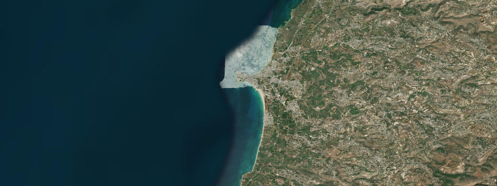
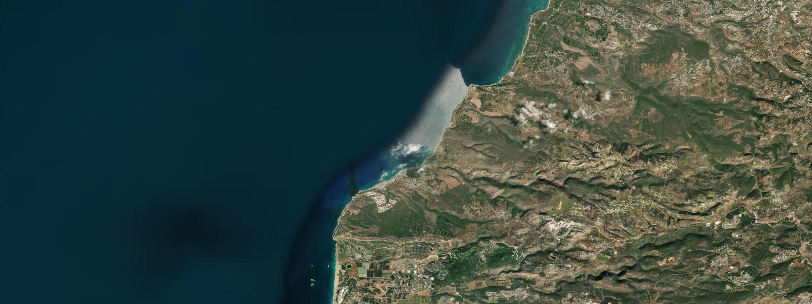
Tyre — known in Arabic as Sur — is one of the oldest continuously inhabited cities on earth, built on what was originally a small island that Alexander the Great connected to the mainland by causeway in 332 BC. The causeway silted up over two millennia into a broad sand isthmus, and the modern city occupies the resulting peninsula that juts into the eastern Mediterranean. The sea is present on three sides: the northern and southern bays, and the open western face where the Roman-era hippodrome sits at the waterline.
The tidal context at Tyre is the most important caveat for any water-level planning: the eastern Mediterranean is nearly tideless. Spring tidal range at Tyre is less than 0.3 metres — often cited as under 20 centimetres. Tide predictions here come from Open-Meteo Marine's global gridded model; with a range this small, the model's ±45 minute timing accuracy and ±0.2 to 0.3 metre height tolerance mean the tidal signal is at the noise floor of the model. Wind setup, seiches (Mediterranean basin-scale oscillations), and atmospheric pressure changes each drive water-level anomalies that dwarf the astronomical tide.
For practical purposes at Tyre, forget the tide: the sea level on any given day is determined by the wind. Easterly winds pile water against the coast, raising levels by 0.2 to 0.4 metres. The mistral-equivalent westerly systems push water away, dropping levels. Storm surges during winter low-pressure systems have inundated the isthmus road in recent decades. The archaeological sites, particularly the Roman hippodrome at the southern beach, are affected by wave overtopping during winter storms.
The hippodrome at Tyre is the largest Roman hippodrome in the world, running parallel to the sea at the southern end of the peninsula. Races once ran with the open Mediterranean as backdrop. Today the track is partially excavated and open to visitors; the proximity to the waterline means wave spray reaches the stone courses during winter swells. The best light for photography is early morning from the beach side, with the hippodrome in the foreground and the Lebanese coast receding north.
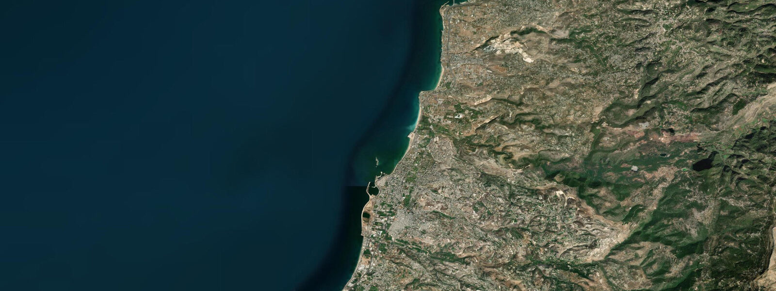
The old harbour on the north side of the peninsula — the Phoenician harbour — is now a small modern fishing port. The south harbour, where Alexander's navy anchored after the siege, is today the city's main beach zone. The Al-Bass archaeological site contains one of the best-preserved Roman road and colonnaded street sections outside Italy.
For swimmers, both the north and south bays are swimmable in calm conditions. The south beach is the main family beach. The underwater topography around the peninsula includes Phoenician harbour walls submerged to 2 to 5 metres depth — a draw for snorkellers. The water is clear (10 to 20 metres visibility in summer) and warm (26 to 28°C in August). There are no significant currents on calm days.
Water temperature in winter drops to 17 to 19°C; summer runs 26 to 28°C. The sea at Tyre is swimmable year-round for those tolerant of cooler temperatures; the main beach season runs May through October.
The Tyre Coast Nature Reserve, established in 1998, protects the beach section south of the hippodrome — the last remaining sandy beach in southern Lebanon with active sea turtle nesting. The reserve covers approximately 380 hectares and is managed by the Lebanese Ministry of Environment. Loggerhead and green sea turtles nest on the beach from May through August. The reserve's management team monitors nests and provides guided visits during the nesting season. The combination of a UNESCO World Heritage ancient city and an active sea turtle nesting reserve on the same beach is unusual even by Mediterranean standards.
The old Phoenician harbour on the north side of the Tyre peninsula shows its ancient morphology most clearly from the water. Looking at the harbour entrance from a small boat, the submerged remnants of the Phoenician mole and harbour walls are visible at 2 to 5 metres depth in calm, clear conditions. The Roman harbour improvements are superimposed on the Phoenician structure; Roman concrete (opus caementicium) is distinguishable from the Phoenician cut-stone blocks by colour and texture. Underwater photography of the submerged harbour walls, using natural light in the morning before the sun angle becomes vertical, is one of the more productive diving activities at Tyre.
Access to Tyre from Beirut runs on the coastal highway south, a distance of approximately 85 kilometres with a travel time of 90 minutes to 2 hours depending on traffic. The Beirut–Saida (Sidon) section of the road is often congested; the Saida–Sour (Tyre) stretch is faster.
Tide questions about Tyre (Sur)
Quick answers to the most common questions about tide times, range, and water access at Tyre (Sur).
What is the tidal range at Tyre?
The eastern Mediterranean at Tyre is effectively microtidal. Spring tidal range is less than 0.3 metres — often under 20 centimetres — making the astronomical tide nearly irrelevant to practical water-level planning. Tide data here uses Open-Meteo Marine's global model; at this range, the model's ±45 minute timing tolerance and ±0.2 to 0.3 metre height tolerance exceed the tidal signal itself. Wind setup, atmospheric pressure (the inverse barometer effect), and Mediterranean seiches are the dominant drivers of actual water-level variability. For most coastal activities at Tyre, the wind and swell forecast is the operational variable, not the tide.
Can I swim near the Roman hippodrome at Tyre?
The Roman hippodrome sits at the southern end of the Tyre peninsula, immediately adjacent to the beach. The beach south and east of the hippodrome is swimmable in calm conditions from May through October. The underwater approaches to the hippodrome stone courses are used by snorkellers exploring the submerged Roman structure, accessible from the beach in clear conditions. Winter months bring larger swells and occasional storm surge that overwashes the beach near the hippodrome; swimming is inadvisable in these conditions. Summer conditions are typically calm with 10 to 20 metres underwater visibility.
What is the best archaeological site to visit at Tyre?
Tyre has three main UNESCO-listed archaeological zones. The Al-Bass site, at the landward end of the isthmus, contains a Roman triumphal arch and one of the best-preserved Roman road sections in the Levant. The City site (Tyr al-Bass) on the peninsula holds the Hippodrome — the largest Roman hippodrome known, 480 metres long — with the Mediterranean visible from the stands. The old harbour on the north side shows remnants of Phoenician-period harbour works. All three are open to visitors; the Hippodrome and Al-Bass are the most visually impactful. Arrive in the morning to photograph with the sea as background before the midday haze builds.
Is it safe to visit Tyre given Lebanon's current situation?
Tyre is in southern Lebanon, approximately 85 kilometres south of Beirut and 30 kilometres north of the Israeli border. Security conditions in southern Lebanon change periodically; the situation as of the data available here (mid-2025) requires checking current travel advisories from your government before visiting. When conditions allow, Tyre is accessible by service taxi from Beirut (approximately 2 hours) or private vehicle. The archaeological sites are managed by the Lebanese Ministry of Culture and UNESCO; they open and close based on security conditions. Confirm current site access before making the journey.
What is Tyre's connection to Alexander the Great?
The Phoenician city of Tyre was originally on an island 800 metres offshore. When Alexander the Great besieged it in 332 BC, the island's defences proved impenetrable by conventional assault. Alexander ordered the construction of a causeway (mole) from the mainland to the island — a massive engineering project completed after seven months of work and a total siege of seven months. The causeway silted up over subsequent centuries into the broad sand isthmus visible today, permanently connecting the island to the mainland. The modern city's peninsula geography is a direct consequence of this ancient military engineering. The submerged sections of the original Phoenician island harbour walls are still visible to divers at 2 to 8 metres depth on the north side of the peninsula.
6-day tide table — Tyre (Sur)
Heights relative to MSL. Predictions: Open-Meteo Marine (MeteoFrance SMOC, 0.08° grid) — heights relative to MSL (not chart datum / LAT). Model-derived.
| Day | Type | Time | Height |
|---|---|---|---|
| Sat 04 Jul | High | 03:00 | -0.2m |
| Low | 06:45 | -0.4m | |
| Sun 05 Jul | High | 13:45 | -0.1m |
| Low | 20:10 | -0.3m | |
| Mon 06 Jul | — | ||
| Tue 07 Jul | — | ||
| Wed 08 Jul | High | 17:00 | -0.1m |
| Thu 09 Jul | Low | 12:00 | -0.3m |