Sidon tide times
Sidon tide forecast — heights relative to MSL.
Today's tide times for Sidon
Tide times at Sidon on Saturday, 4 July 2026: first high tide at 03:00am, first low tide at 06:50am, second high tide at 01:10pm. Sunrise 05:32am, sunset 07:52pm.
Tide chart for Sidon
24-hour cosine-interpolated curve around the present moment. Heights relative to MSL. Predictions: Predictions: Open-Meteo Marine (MeteoFrance SMOC, 0.08° grid).
Sun, moon and conditions on Sat 04 Jul
Snapshot at build time — refreshes daily. Sea state from Open-Meteo Marine.
Highs and lows next 7 days
Every predicted high and low for the next week, with the daily tidal coefficient (0–120; higher = bigger swing, > 95 means stronger currents).
Other spots nearby
The three closest curated TideTurtle locations to Sidon, measured by great-circle distance.

Today's solunar windows
Solunar tradition: major periods are the ≈3h windows around moon transit and opposition; minor are ≈2h around moonrise and moonset. Pair with the local tide stage and wind for the best read.
About tides at Sidon
A short guide to the coastline at Sidon — geography, sea state, and what the tide is actually doing under your feet.
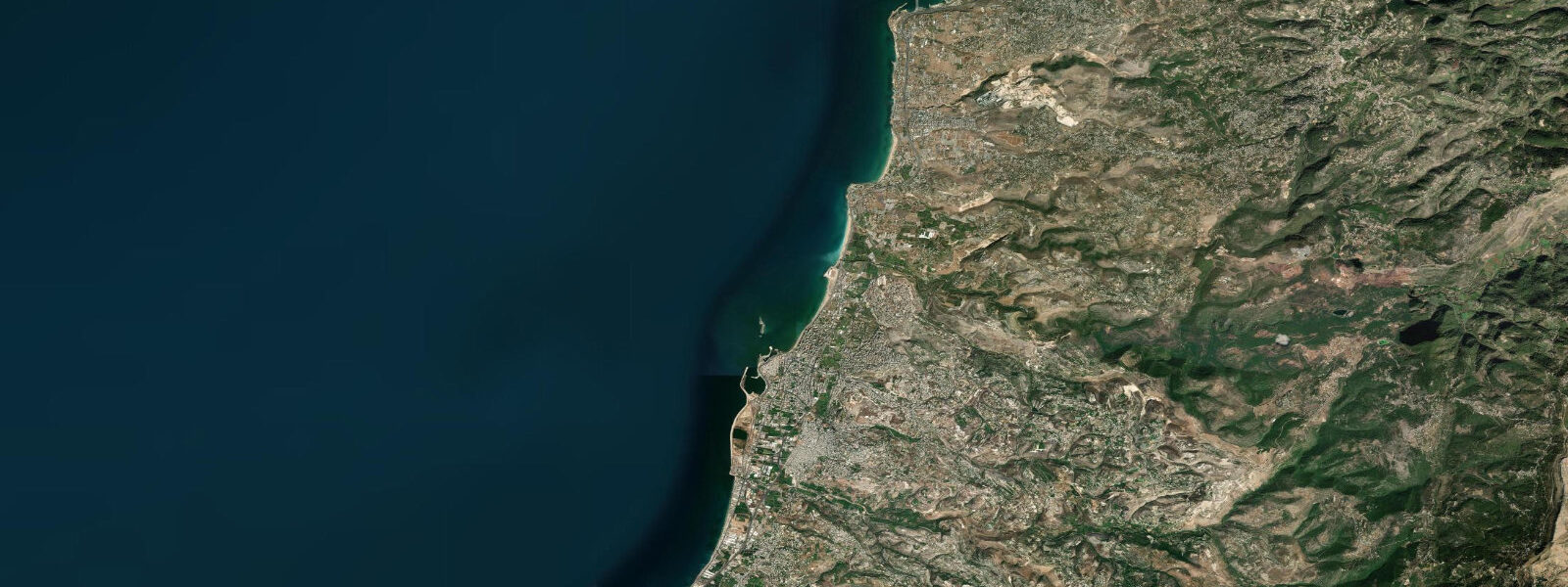
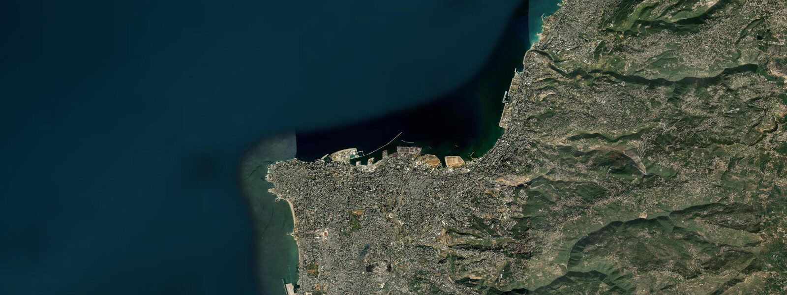
Sidon — Arabic Saida, Phoenician Sidon — is one of the oldest maritime cities in the world, a former Phoenician capital that appears in texts as early as the 14th century BCE and is mentioned in Homer's Iliad. Modern Sidon is a city of around 200,000 people, Lebanon's third-largest, and its coastline carries 3,000 years of continuous use as a harbour, a fishing port, and a coastal trading centre in a concentrated and legible form.
The most visible piece of that history is the Sea Castle (Qalaat al-Bahr), a Crusader fortress built in 1228 by the Knights Hospitaller on a small islet about 80 metres offshore and connected to the mainland by a stone causeway. The castle sits directly at the entry to the old harbour — it controlled the harbour entrance for 300 years of Crusader use and was subsequently modified by Mamluks and Ottomans. Today it is one of Lebanon's most photographed coastal landmarks, and the view from the castle walls over the old city and the Mediterranean is among the finest on the Lebanese coast.
The old harbour of Sidon — the northern harbour, which the Phoenicians used — is still an active fishing harbour. Wooden fishing boats operate from here year-round, targeting sea bream, mullet, snapper, and seasonal tuna. The harbour is compact and the fish market adjacent to the quay is one of the authentic maritime markets on the Lebanese coast, operating from early morning. The smell of fish, diesel, and the sea is part of the experience.
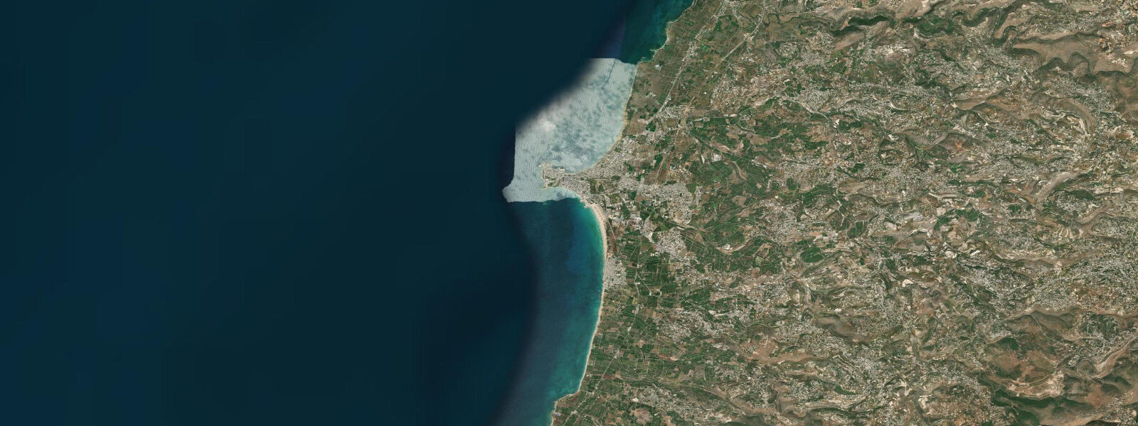
For swimmers and snorkellers, the coast south of the old harbour has cleaner water than the harbour itself. The beach south of the Sea Castle — locally called the corniche beach — is a public beach used by Sidon residents, backed by the corniche walkway. Water clarity here is typically 6–10 metres visibility on calm days. Rocky sections at either end of the beach have small coral formations, sponge, and sea bream at 2–8 metres depth, accessible for snorkellers. The coast further south toward the Sidon-Tyre highway has several additional beach access points with rocky snorkelling that sees fewer visitors than the main beach.
Tides along the South Lebanon coast are microtidal: spring range under 0.3 metres. The eastern Mediterranean tidal signal is attenuated to negligible levels by the enclosed basin geometry, and the pattern is mixed semidiurnal with significant diurnal inequality. Seasonal sea level variation is more significant than tidal variation — the eastern Mediterranean is typically 15–20 cm higher in October–November than in April. Wind from the west and northwest is the dominant sea-state variable; the winter westerlies can build significant swell on Sidon's open west-facing coast and make the corniche beach uncomfortable. Summer conditions are typically calm.
The city itself rewards a day or two of slow exploration: the Sea Castle, the Khan al-Franj (a 17th-century caravanserai built by the Emir Fakhreddine), the covered souk, the Sidon Soap Museum (soap-making was Sidon's primary export industry for centuries), and the ancient tell beneath the modern city where Phoenician and Bronze Age layers are periodically exposed by construction works. The Roman road south toward Tyre — parts of which are still visible at Jal el-Bahr, about 15 km south — makes the drive toward Tyre historically layered.
Predictions on this page come from Open-Meteo Marine. For South Lebanon coastal forecasts, consult the Lebanese Meteorological Department at meteo.gov.lb. Travel advisories for the Sidon-Tyre area should be checked before visiting; the political situation in South Lebanon can change, and the coastal areas south of Sidon require current awareness.
The Sidon soap museum is an unexpectedly interesting stop on a coastal visit. Soap production was one of Sidon's primary export industries for centuries — the Phoenicians traded olive oil soap from Sidon across the Mediterranean world, and by the medieval period Sidon soap was an export commodity shipped to markets as far as Venice. The museum occupies a historic soap-making building near the old city and demonstrates the traditional production process: olive oil, water, and lye in large vats, then cutting and aging. The connection between the coastal city's olive oil trade and its maritime history is made concrete here in a way that a standard archaeology museum does not.
Tide questions about Sidon
Quick answers to the most common questions about tide times, range, and water access at Sidon.
What is the Sea Castle at Sidon, and can I visit it?
The Sea Castle (Qalaat al-Bahr) is a Crusader fortress built in 1228 on a small islet 80 metres offshore from the Sidon waterfront, connected to land by a stone causeway. It was constructed by the Knights Hospitaller to control access to the old harbour and was subsequently modified by Mamluk and Ottoman forces. The castle is one of the best-preserved coastal fortifications in Lebanon. It is open to visitors for a small entrance fee; the walk along the causeway and the views from the tower walls over the harbour and old city are the highlights. Opening hours are typically 08:00–17:00 daily, though hours can vary by season and situation — confirm locally before visiting.
Is the water clean enough to swim at Sidon?
The corniche beach south of the Sea Castle has acceptable water quality for swimming on most days in summer, with visibility of 6–10 metres in calm conditions. The old harbour to the north has the water quality typical of a working fishing harbour — not suitable for swimming. The coast further south of the city, toward the Sidon-Tyre highway, has better water quality than the urban beach due to reduced runoff and sewage proximity, and several local families use these less-visited entry points. Lebanon has had ongoing coastal water quality issues due to infrastructure gaps; swimming after heavy rain events is not advisable anywhere on the coast. The Sidon area has generally been better than Beirut in this regard.
What is the tidal range at Sidon?
Under 0.3 metres — microtidal, consistent with the entire eastern Mediterranean. Sidon's south Lebanon coast sits at the far eastern end of the Mediterranean basin, where the Atlantic tidal wave has been attenuated to negligible levels. The pattern is mixed semidiurnal with diurnal inequality, but effective day-to-day tidal variation is 0.1–0.2 metres and largely irrelevant for recreational purposes. Seasonal sea level is more significant: the eastern Mediterranean rises 15–20 cm between spring and autumn. Wind from the west and northwest drives the dominant swell and setup; winter westerlies can make Sidon's open west-facing coast rough and the corniche beach unusable for swimming, while summer brings reliably calm conditions.
What can I see snorkelling near Sidon?
The rocky sections at both ends of the corniche beach — and the coast further south — have the most accessible snorkelling. At 2–8 metres depth on the rock sections, you'll find small coral formations (Cladocora caespitosa, the endemic Mediterranean cup coral), sponge encrustation, sea bream, mullet, wrasse, and occasional cuttlefish. The seabed between the rocky sections is sandy with sea-grass patches. Visibility is typically 6–10 metres in calm conditions. The snorkelling is modest by Red Sea or Atlantic standards but offers the specific character of the eastern Mediterranean — ancient harbours visible in the shallows nearby, the Sea Castle visible from the water, and very little competition for the sites.
Is it safe to visit Sidon and the South Lebanon coast?
Sidon city itself has generally been stable and accessible for visitors throughout most of Lebanon's political turbulence. The coastal route and the city's waterfront, souk, and historical sites have remained open to tourists in most periods. However, the situation in South Lebanon south of Sidon has been more variable, with periods of heightened security concern affecting the Tyre area and the coast toward the Israeli border. Before visiting, check current travel advisories from your government's foreign affairs department — the situation can change with limited warning. On the day, ask locally in Sidon about conditions on any road you plan to travel further south. The city itself warrants a visit; the further south you travel, the more current awareness matters.
7-day tide table — Sidon
Heights relative to MSL. Predictions: Open-Meteo Marine (MeteoFrance SMOC, 0.08° grid) — heights relative to MSL (not chart datum / LAT). Model-derived.
| Day | Type | Time | Height |
|---|---|---|---|
| Sat 04 Jul | High | 03:00 | -0.2m |
| Low | 06:50 | -0.4m | |
| High | 13:10 | -0.1m | |
| Sun 05 Jul | Low | 20:10 | -0.3m |
| Mon 06 Jul | — | ||
| Tue 07 Jul | High | 15:50 | -0.1m |
| Low | 21:50 | -0.3m | |
| Wed 08 Jul | High | 04:10 | -0.1m |
| Low | 22:50 | -0.3m | |
| Thu 09 Jul | High | 05:15 | -0.1m |
| Low | 12:00 | -0.3m | |
| High | 18:00 | -0.1m | |
| Fri 10 Jul | Low | 00:00 | -0.3m |