Naqoura tide times
Naqoura tide forecast — heights relative to MSL.
Today's tide times for Naqoura
Tide times at Naqoura on Saturday, 4 July 2026: first high tide at 03:00am, first low tide at 06:45am. Sunrise 05:35am, sunset 07:52pm.
Tide chart for Naqoura
24-hour cosine-interpolated curve around the present moment. Heights relative to MSL. Predictions: Predictions: Open-Meteo Marine (MeteoFrance SMOC, 0.08° grid).
Sun, moon and conditions on Sat 04 Jul
Snapshot at build time — refreshes daily. Sea state from Open-Meteo Marine.
Highs and lows next 7 days
Every predicted high and low for the next week, with the daily tidal coefficient (0–120; higher = bigger swing, > 95 means stronger currents).
Other spots nearby
The three closest curated TideTurtle locations to Naqoura, measured by great-circle distance.

Today's solunar windows
Solunar tradition: major periods are the ≈3h windows around moon transit and opposition; minor are ≈2h around moonrise and moonset. Pair with the local tide stage and wind for the best read.
About tides at Naqoura
A short guide to the coastline at Naqoura — geography, sea state, and what the tide is actually doing under your feet.
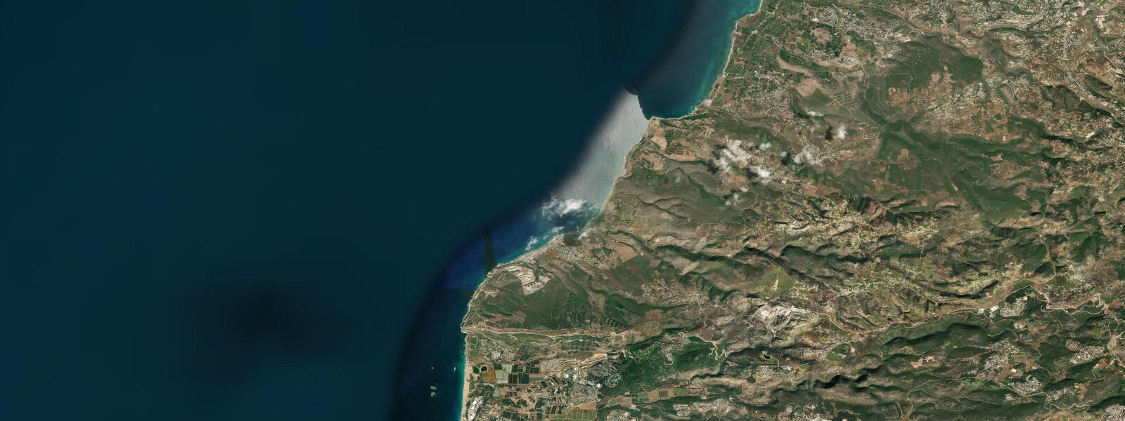
Naqoura is the southernmost coastal town in Lebanon, positioned at the base of a rocky limestone headland that drops to the Mediterranean just a few kilometres north of the border with Israel. The town is the headquarters of UNIFIL — the United Nations Interim Force in Lebanon — and the UN compound occupies a significant portion of the headland. The harbour is small, used by local fishermen who work the rocky reef and shallow bank system that extends offshore.
The coastal setting at Naqoura is distinct from the sandy beaches further north: the shoreline is predominantly rocky limestone, with small cobble and shingle coves between headlands, and the clarity of the Mediterranean here is striking — the deep blue of the open sea against pale limestone is characteristic of the south Lebanon coast.
Tide data for Naqoura comes from Open-Meteo Marine. Timing accuracy ±45 minutes, height accuracy ±0.2 to 0.3 metres. The eastern Mediterranean at Naqoura is effectively microtidal: spring tidal range is less than 0.3 metres. As with Tyre and Sidon to the north, wind setup and atmospheric pressure dominate water-level variability. The tidal prediction here provides background context; the operational variables for coastal access are wind direction and swell height.
Fishing at Naqoura targets the rocky reef species characteristic of the eastern Mediterranean: grouper, sea bream, and mullet in the shallow reef zones; red mullet and small pelagics over the sandy patches. The rocky limestone bottom drops quickly offshore — the 50-metre depth contour is within 2 to 3 kilometres of the coast — giving access to deeper-water species from small boats. Local fishermen use hand lines, trammel nets, and longlines on the reef.
The offshore bank structure near Naqoura is productive for diving and snorkelling in calm conditions. The rocky ledges at 5 to 20 metres depth have moray eels, saddled bream, and occasionally larger pelagic visitors on the outer edges. Underwater visibility in summer runs 10 to 20 metres; winter visibility is reduced but still serviceable. There is no established commercial dive operation at Naqoura; the nearest dive centres are in Sidon.
The border proximity creates a security dimension that must be factored into any visit. UNIFIL's presence provides a degree of stability monitoring, but southern Lebanon's security situation changes. The coastal road from Tyre to Naqoura is the main access route and runs through a Lebanese Army checkpoint zone. Travel advisories should be checked before visiting.
Water temperature follows the eastern Mediterranean pattern: 17 to 19°C in February and March, rising to 27 to 29°C in August and September. The warm summer sea and calm summer conditions make the rocky coves of Naqoura excellent for snorkelling from June through October.
The headland at Naqoura itself is a significant geological feature: the limestone promontory, rising to 40 to 50 metres above sea level, shows the characteristic erosional profiles of the eastern Mediterranean coast — wave-cut notches at current sea level and older notches at higher elevations that mark past high-stand sea levels from interglacial periods. Geologists use these notch sequences to reconstruct Mediterranean sea-level history; the Naqoura headland has been cited in several studies of Holocene sea-level change in the Levant.
The small fishing harbour at Naqoura serves a community of artisanal fishermen who work the reef and shallow bank system between the headland and the Tyros Bank offshore. The fishing boats at Naqoura are the traditional fibre-glass speedboats common to the Lebanon coast; the fleet is small, perhaps 15 to 20 active vessels. The catch is sold locally and in the Tyre market. Fish prices in south Lebanon follow the Lebanese economic situation closely; the pound's devaluation since 2019 has complicated the economics of the fishery significantly, though the fishing itself continues.
The UNIFIL headquarters compound at Naqoura employs local Lebanese staff alongside international military personnel; the compound's economic impact on the small town is significant. Hotels, restaurants, and services that cater to UNIFIL personnel account for a notable proportion of Naqoura's commercial activity. This gives the town a character somewhat different from purely Lebanese coastal communities — more multilingual, more internationally oriented, with regular turnover of personnel.
Tide questions about Naqoura
Quick answers to the most common questions about tide times, range, and water access at Naqoura.
What is the tidal range at Naqoura?
Naqoura is in the eastern Mediterranean, where astronomical tides are extremely small. Spring range is under 0.3 metres — often under 20 centimetres. Tide predictions here come from Open-Meteo Marine's global model; with such a small range, the model's ±0.2 to 0.3 metre height tolerance and ±45 minute timing tolerance mean the data is indicative rather than precise. Wind setup, atmospheric pressure changes, and Mediterranean seiches routinely produce water-level anomalies larger than the tidal range. For coastal access planning at Naqoura, the wind and swell forecast is the relevant variable.
What is UNIFIL and why is it based at Naqoura?
UNIFIL — the United Nations Interim Force in Lebanon — was established by the UN Security Council in 1978 following Israeli military operations in southern Lebanon. Its mandate covers monitoring the cessation of hostilities and supporting the Lebanese government in establishing authority in southern Lebanon. The Naqoura headquarters was chosen for its position at the Lebanon-Israel border, giving UNIFIL direct access to the boundary line. The compound occupies the headland above the town harbour. UNIFIL's presence is a defining feature of Naqoura's landscape and economy; the town's hotels and services cater significantly to international UN personnel.
Is snorkelling good at Naqoura?
The rocky limestone reef and clear eastern Mediterranean water make Naqoura a good snorkelling site in calm conditions. Summer — June through September — gives the best combination of calm sea, warm water (26 to 28°C), and 10 to 20 metres visibility. The rocky ledges at 2 to 8 metres depth have saddled bream, wrasse, moray eels, and octopus. Entry and exit requires care on the cobble and rock shoreline; water shoes are recommended. There is no dedicated snorkel rental or guided service at Naqoura; bring your own equipment. Check sea conditions locally before entering — south-facing swells can push directly onto the rocky shore.
How do I get to Naqoura from Beirut?
Naqoura is approximately 130 kilometres south of Beirut. The route runs south on the coastal road via Sidon (Saida) and Tyre (Sur). Travel time is 2 to 3 hours by private vehicle or longer by shared service taxis, which are the main form of public transport on this route. The Lebanese Army maintains checkpoints on the approach to Naqoura; carry identification. Given the security situation in southern Lebanon, check current travel advisories from your government before making the journey. The most recent reliable information will come from UNIFIL's public communications or Lebanese Army announcements on the status of the coastal road.
What fish are caught around Naqoura?
The rocky reef around the Naqoura headland holds grouper (Epinephelus species), various sea bream, and mullet in the shallow zones. Red mullet are caught on trammel nets over sandy patches at 10 to 30 metres depth and are commercially significant in the local fishery. The offshore drop-off — the 50-metre contour is within a few kilometres — gives access to dentex, amberjack, and occasionally swordfish for the deeper-water fleet. Bluefin tuna pass through the eastern Mediterranean seasonally; occasional surface-feeding schools are encountered by local boat fishermen in spring and autumn. Shore fishing from the rocky ledges with bait rigs targets bream and mullet on outgoing wind-driven currents.
8-day tide table — Naqoura
Heights relative to MSL. Predictions: Open-Meteo Marine (MeteoFrance SMOC, 0.08° grid) — heights relative to MSL (not chart datum / LAT). Model-derived.
| Day | Type | Time | Height |
|---|---|---|---|
| Sat 04 Jul | High | 03:00 | -0.2m |
| Low | 06:45 | -0.4m | |
| Sun 05 Jul | High | 13:50 | -0.1m |
| Low | 20:10 | -0.3m | |
| Mon 06 Jul | — | ||
| Tue 07 Jul | High | 03:10 | -0.1m |
| Low | 09:15 | -0.3m | |
| High | 15:50 | -0.1m | |
| Wed 08 Jul | Low | 10:50 | -0.3m |
| Thu 09 Jul | High | 05:10 | -0.1m |
| Fri 10 Jul | — | ||
| Sat 11 Jul | Low | 01:10 | -0.3m |