Tripoli tide times
Tripoli tide forecast — heights relative to MSL.
Today's tide times for Tripoli
Tide times at Tripoli on Saturday, 4 July 2026: first high tide at 01:10pm. Sunrise 05:28am, sunset 07:52pm.
Tide chart for Tripoli
24-hour cosine-interpolated curve around the present moment. Heights relative to MSL. Predictions: Predictions: Open-Meteo Marine (MeteoFrance SMOC, 0.08° grid).
Sun, moon and conditions on Sat 04 Jul
Snapshot at build time — refreshes daily. Sea state from Open-Meteo Marine.
Highs and lows next 7 days
Every predicted high and low for the next week, with the daily tidal coefficient (0–120; higher = bigger swing, > 95 means stronger currents).
Other spots nearby
The three closest curated TideTurtle locations to Tripoli, measured by great-circle distance.
Today's solunar windows
Solunar tradition: major periods are the ≈3h windows around moon transit and opposition; minor are ≈2h around moonrise and moonset. Pair with the local tide stage and wind for the best read.
About tides at Tripoli
A short guide to the coastline at Tripoli — geography, sea state, and what the tide is actually doing under your feet.
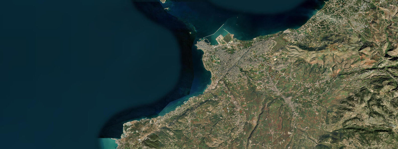
Tripoli (Arabic: Trablous) is Lebanon's second city and the largest city of the north, built at the point where the Qadisha Valley opens to the Mediterranean coast. The modern city occupies the coastal plain; the historic old city (Mina district) is on the waterfront peninsula that juts into the sea. Inland, the Citadel of Raymond de Saint-Gilles — a Crusader fortification built in 1103 and substantially expanded by later occupiers — dominates the hillside above the souks of the old Islamic city.
The coast at Tripoli is a double geography: the Mina waterfront peninsula to the north, with a working fishing harbour and ferry terminal, and the main city beachfront to the south. The sea here is the eastern Mediterranean, effectively microtidal — spring range under 0.3 metres — and the tidal cycle has minimal practical effect on coastal conditions. As throughout the Lebanon coast, the operational variables for sea access are wind direction, swell height, and water clarity.
Tide data for Tripoli uses Open-Meteo Marine. Timing accuracy ±45 minutes, height accuracy ±0.2 to 0.3 metres. With a range of under 0.3 metres, the tidal signal is at the model's noise floor; wind setup and pressure effects dominate actual water-level variability.
The old city of Tripoli — the largest and best-preserved medieval Islamic city in Lebanon — covers the blocks between the Citadel and the corniche. The covered souks (Khan al-Askar, Khan al-Saboun), hammams dating to the Mamluk period (14th to 15th century), and the Friday mosque built on the site of a Crusader church of St Mary form a continuous historic fabric within walking distance of the sea. The combination of Crusader fortification and Mamluk urban order within view of the Mediterranean is unique to Tripoli.
The Mina (port) district at the tip of the peninsula has a fish market, the ferry terminal for the nearby Palm Islands Nature Reserve, and the city's main fish restaurants. The fish market is most active in the early morning as the overnight fleet returns. The Palm Islands — three uninhabited islands 5 kilometres offshore — are a UNESCO Biosphere Reserve and nature reserve, home to nesting loggerhead sea turtles, monk seals (historically), and migratory bird populations.
For divers and snorkellers, the rocky reef around the Mina peninsula and the offshore structure toward the Palm Islands offers sea bream, grouper, and the occasional sea turtle. The water clarity around the Palm Islands — further from urban influence — is typically better than inshore. Day trips to the Palm Islands run from the Mina port by small boat, typically April through October.
Water temperature peaks at 27 to 28°C in August and September, dropping to 17 to 18°C in February. The main beach season runs May through October.
The fish restaurants of the Mina district are an established part of the Lebanese coastal experience that extends beyond Tripoli. The Lebanese tradition of meze-based fish dining — small plates of grilled fish, shrimp, calamari, and raw seafood alongside the standard meze spread — is practised in its Tripoli form at the Mina waterfront restaurants. The fish is sourced directly from the harbour market; freshness is the primary product quality marker. Dining at Mina is most productive at lunch, when the morning catch has been through the market and the kitchens are working with same-day ingredients.
The history of Tripoli as a Mediterranean trading city goes back to Phoenician and later Seleucid Greek occupation. The name Tripolis ("three cities") reflects the original urban structure: three distinct Phoenician settlements — from Arados, Sidon, and Tyre — that established their own quarters at the same coastal location. This tripartite settlement pattern is lost in the modern city but persists in historical accounts. The Mamluk period (13th to 16th century) was the last great building era in the old city before Ottoman rule; the covered souks and hammams that survive are largely Mamluk in form.
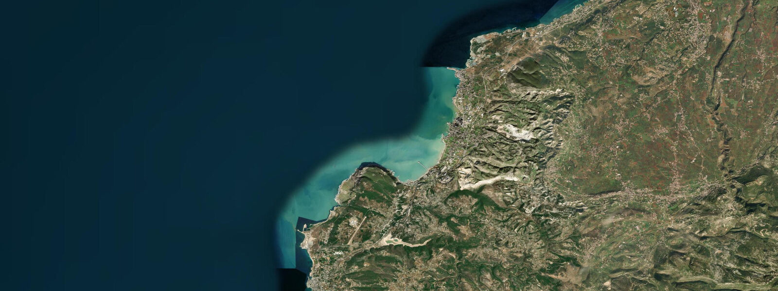
The northern Lebanon coastline between Tripoli and the Syrian border, rarely visited by international tourists, has some of the more intact sections of the eastern Mediterranean rocky coast. The coastal road north from Tripoli passes through Chekka and then into the narrow coastal zone backed by the Lebanon Mountains before reaching the border. Several small bays and fishing villages lie along this stretch.
Tide questions about Tripoli
Quick answers to the most common questions about tide times, range, and water access at Tripoli.
What is the tidal range at Tripoli?
Tripoli is on the north Lebanese Mediterranean coast. Spring tidal range is under 0.3 metres — microtidal. Tide predictions here come from Open-Meteo Marine's global model; with the range this small relative to the model's ±0.2 to 0.3 metre height tolerance, the tidal prediction is indicative rather than operational. Wind setup and atmospheric pressure are the dominant drivers of real water-level change at this location: an onshore easterly wind event can raise sea levels by 0.2 to 0.4 metres, and a 15 hPa pressure drop raises sea level by roughly 15 centimetres. For beach and marine activities at Tripoli, wind direction and sea state are the practical planning variables, not the tide phase.
What is the Raymond de Saint-Gilles Citadel?
The Citadel of Raymond de Saint-Gilles was built in 1103 by the Count of Toulouse during the First Crusade as a siege platform overlooking the then-coastal city of Tripoli. After the Crusaders took Tripoli in 1109, the citadel became a major fortification of the County of Tripoli — one of the four Crusader states. It was expanded and rebuilt by the Mamluks after they captured it in 1289. The Ottomans and subsequent Lebanese rulers added further modifications. The result is a layered fortification with Crusader foundations, Mamluk towers, and Ottoman walls, open to visitors. The views over the city, the Mina waterfront, and the Mediterranean from the upper walls are extensive.
How do I visit the Palm Islands Nature Reserve?
The Palm Islands are 5 kilometres offshore from the Mina (port) district of Tripoli. Small boats run from the Mina harbour on an informal schedule from April through October; confirm departure times at the harbour. The journey takes 15 to 20 minutes. The reserve is managed by the Lebanese Ministry of Environment; a small entrance fee applies. The main island (Palm Island or Rabbit Island) has a sand beach, snorkelling over rocky reef, and the possibility of seeing loggerhead sea turtle nesting in summer. The reserve is closed from November through March to minimise disturbance during the off-season.
What is the Mina district of Tripoli?
Al Mina is the port district of Tripoli, occupying the peninsula that extends into the sea north of the city centre. It functions as a distinct neighbourhood from the old city inland: a working waterfront with a fishing harbour, ferry terminal, fish market, and the fish restaurants for which Tripoli's coast is well-known. The seafront corniche at Mina runs the length of the peninsula and is a evening social venue for residents. The district has some Ottoman-period architecture alongside the working port infrastructure. It is connected to the main city by the Abu Ali River road and is easily walkable from the old city souks.
Is Tripoli safe for tourism?
Tripoli and north Lebanon have had periods of instability related to spillover from regional conflicts and internal Lebanese political tensions. The city has experienced intermittent unrest, though the historic old city, the Mina waterfront, and the Palm Islands are typically accessible when general conditions in the north are calm. Check current travel advisories for Lebanon and specifically for the Tripoli area before visiting. The Lebanese tourism infrastructure in north Lebanon operates when security conditions permit; local tour operators and hotels are a reliable real-time source for current access conditions.
8-day tide table — Tripoli
Heights relative to MSL. Predictions: Open-Meteo Marine (MeteoFrance SMOC, 0.08° grid) — heights relative to MSL (not chart datum / LAT). Model-derived.
| Day | Type | Time | Height |
|---|---|---|---|
| Sat 04 Jul | High | 13:10 | -0.1m |
| Sun 05 Jul | Low | 20:10 | -0.3m |
| Mon 06 Jul | — | ||
| Tue 07 Jul | High | 03:10 | -0.1m |
| Low | 09:15 | -0.3m | |
| High | 15:50 | -0.1m | |
| Low | 21:50 | -0.3m | |
| Wed 08 Jul | High | 04:10 | -0.1m |
| Low | 10:50 | -0.3m | |
| High | 16:50 | -0.1m | |
| Low | 22:50 | -0.3m | |
| Thu 09 Jul | High | 18:00 | -0.1m |
| Fri 10 Jul | Low | 13:15 | -0.3m |
| Sat 11 Jul | High | 02:00 | -0.3m |