Chekka Bay tide times
Chekka Bay tide forecast — heights relative to MSL.
Tide chart for Chekka Bay
24-hour cosine-interpolated curve around the present moment. Heights relative to MSL. Predictions: Predictions: Open-Meteo Marine (MeteoFrance SMOC, 0.08° grid).
Sun, moon and conditions on Sat 04 Jul
Snapshot at build time — refreshes daily. Sea state from Open-Meteo Marine.
Highs and lows next 7 days
Every predicted high and low for the next week, with the daily tidal coefficient (0–120; higher = bigger swing, > 95 means stronger currents).
Other spots nearby
The three closest curated TideTurtle locations to Chekka Bay, measured by great-circle distance.
Today's solunar windows
Solunar tradition: major periods are the ≈3h windows around moon transit and opposition; minor are ≈2h around moonrise and moonset. Pair with the local tide stage and wind for the best read.
About tides at Chekka Bay
A short guide to the coastline at Chekka Bay — geography, sea state, and what the tide is actually doing under your feet.
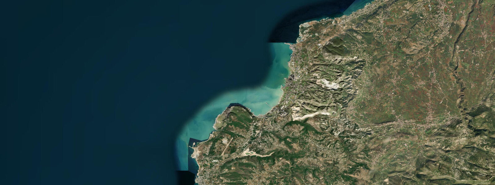
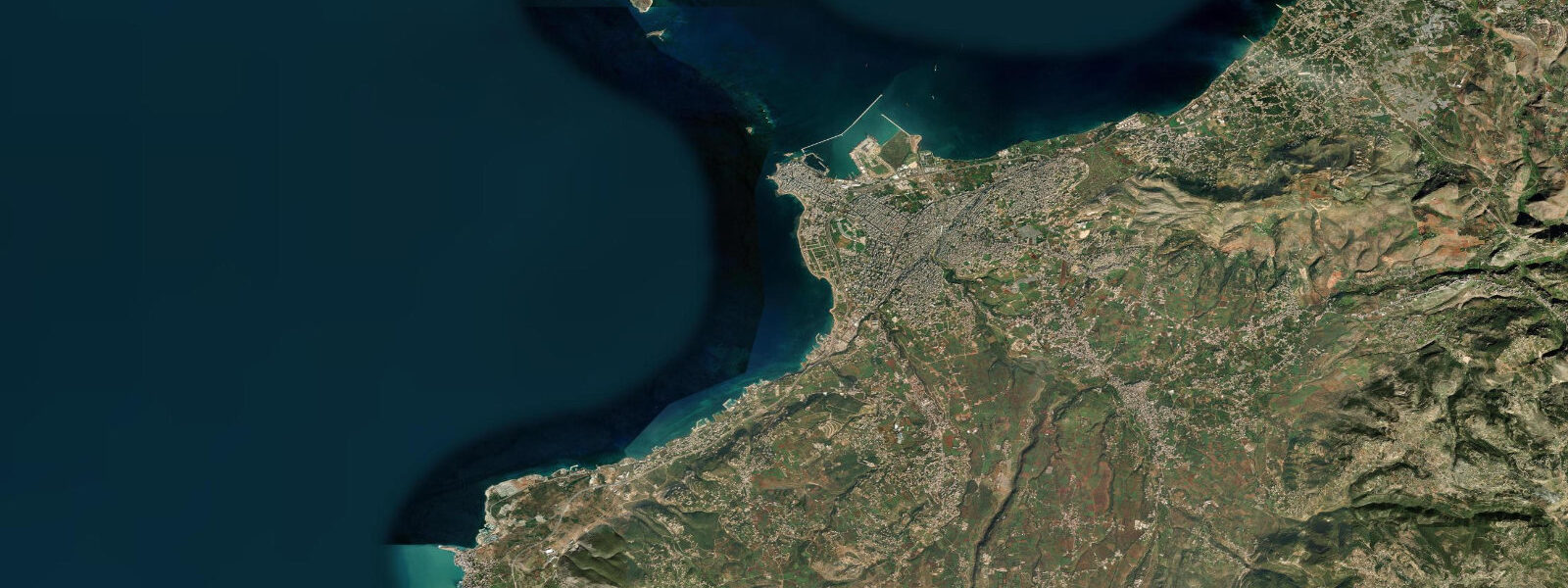
Chekka Bay sits about 10 kilometres north of Batroun on the Lebanese coast, at the point where the terrain shifts from the relatively broad coastal strip of the Batroun district to the narrowing ledge between the sea and the Lebanon Mountains. The village of Chekka itself is an industrial town — a cement works dominates the headland to the north — but the bay itself, tucked south of that headland, offers some of the clearest water on the Lebanese coast and a largely undeveloped shoreline that retains a character the more fashionable beach towns have lost.
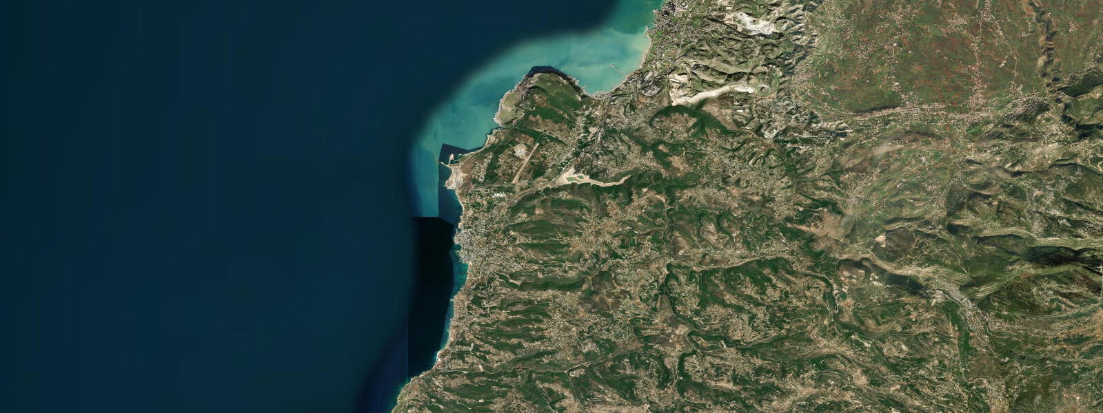
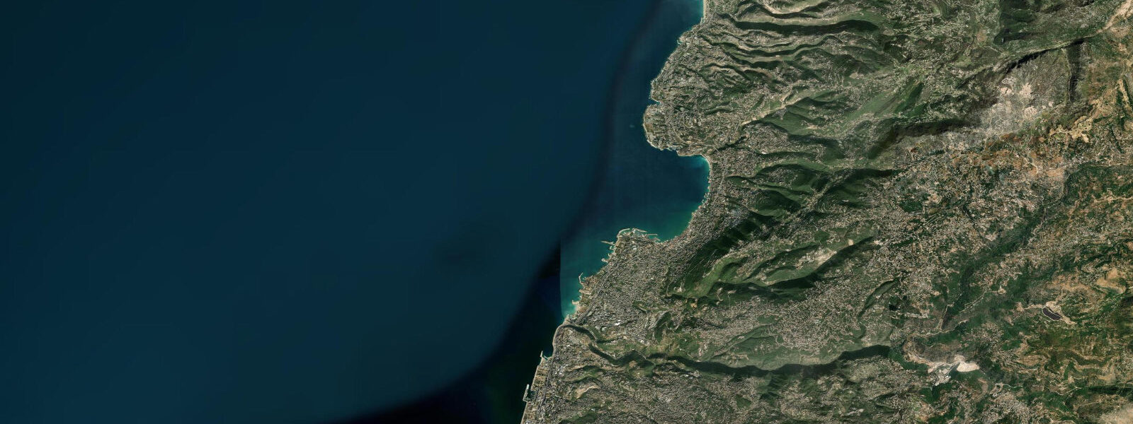
The bay faces west-southwest, partially sheltered from the northerly and northwesterly winds that generate most of Lebanon's coastal swell. A low rocky headland on the northern side and the gradual shoaling of the bay create conditions that are often calm when Batroun and the open coast to the south are moderately rough. The bottom is a mix of coarse sand and rock, with seagrass meadows in the 3–8 metre range and scattered rocky outcrops at 10–18 metres that support the best diving and snorkelling in the area.
The seagrass meadows at Chekka are a genuine ecological asset on a coast where shallow-water habitat has been degraded by decades of coastal construction. Posidonia oceanica — the slow-growing endemic Mediterranean seagrass — forms dense meadows in the mid-bay that shelter juvenile fish including sea bream, mullet, and the occasional cuttlefish. Visibility through the meadows on a calm day is typically 10–15 metres. Seahorses have been reported in the seagrass by local fishermen, though reliably sighting them requires patience and a slow, non-disruptive approach.
At the southern margin of the bay, archaeological investigation has identified the remains of a Roman-era harbour: stone quay foundations and mooring blocks visible in 1–3 metres of water on a calm day from the surface. The Romans called the settlement Calamos; it served as a wayport on the coastal route between Byblos and Tripoli. The underwater features are not formally excavated or marked, but local fishermen know their location and can indicate the general area. This is one of the less-visited underwater heritage sites on the Lebanese coast — partly because of the lack of formal infrastructure and partly because the overlying Chekka industrial zone has kept tourist development away.
Tides at Chekka Bay are microtidal, as throughout the eastern Mediterranean: spring range under 0.3 metres. The most significant water-level variation is seasonal — the eastern Mediterranean rises 15–20 cm between April and November — and wind-driven, with northwesterly events pushing swell and setup into the bay from the open sea. The afternoon sea breeze in summer is mild compared to the western Mediterranean and rarely disrupts snorkelling conditions significantly.
Access is simple: the coastal highway passes through Chekka town, about 10 kilometres north of Batroun. The beach area south of the cement works is accessible via a service road down to the shore. There are no beach clubs or formal facilities at the bay itself — this is bring-your-own territory. Petrol, food, and supplies are in Chekka town (5 minutes drive) or in Batroun (10 minutes south).
Predictions on this page come from Open-Meteo Marine. For Lebanese coastal forecasts, consult the Lebanese Meteorological Department at meteo.gov.lb.
The seagrass meadows deserve special attention for anyone snorkelling at Chekka. Posidonia oceanica grows at roughly 1 centimetre per year — these meadows are likely centuries old. The nutrient cycling the meadows provide is part of why the water at Chekka is clearer than much of the surrounding coast: the seagrass absorbs nitrogen and phosphorus from coastal runoff, reducing algal blooms that reduce visibility elsewhere. The meadows are protected under Lebanese environmental law, though enforcement is inconsistent. Anchoring in seagrass is illegal; entering the water from the sandy section north of the meadows and finning in over them avoids any risk of inadvertent damage.
Tide questions about Chekka Bay
Quick answers to the most common questions about tide times, range, and water access at Chekka Bay.
Is there good snorkelling and diving at Chekka Bay?
Yes, particularly at the rocky outcrops at 10–18 metres on the southern margin of the bay and through the seagrass meadows in the 3–8 metre range. The seagrass beds — Posidonia oceanica — are among the better-preserved shallow-water habitats on the Lebanese coast and shelter sea bream, mullet, cuttlefish, and reportedly seahorses. The rocky deeper sites have sponge, small gorgonians, and the occasional octopus. Visibility is typically 10–15 metres in calm conditions. There are no dive operators at the bay itself; divers come from Batroun or Tripoli with their own equipment or via a Beirut-based dive club that runs occasional trips to North Lebanon coastal sites.
What is the Roman harbour at Chekka Bay?
Calamos was a Roman-era coastal settlement at approximately the modern site of Chekka, serving as a wayport on the coastal route between Byblos to the south and Tripoli to the north. The harbour infrastructure — stone quay foundations and mooring blocks — is visible in 1–3 metres of water on calm days from the surface, though not formally excavated or marked. Lebanese archaeologists have documented the site but formal underwater archaeology here has been limited by the industrial development of the Chekka headland and the lack of protection status for the submerged area. Local fishermen familiar with the bay can approximately indicate the location. Visiting requires calm conditions and clear water; late September to early October, after summer haze clears, typically gives the best viewing.
What is the tidal range at Chekka Bay?
Under 0.3 metres — eastern Mediterranean microtidal conditions. The Lebanese coast sits at the far eastern end of the Mediterranean basin, where the tidal signal from the Atlantic has been attenuated to negligible levels. Effective day-to-day water level variation at Chekka Bay is 0.1–0.2 metres on most days, driven more by the mixed semidiurnal pattern's diurnal inequality than by any meaningful tidal forcing. Seasonal sea level change is proportionally larger: the eastern Mediterranean rises roughly 15–20 cm from spring to autumn. The dominant short-term water-level variable is wind: northwesterly events can push 30–50 cm of setup into the bay. For planning snorkelling and diving, the wind and swell forecast is the only factor that matters.
Why is the water at Chekka Bay clearer than nearby beaches?
Several factors. The bay faces southwest rather than directly west, giving it partial shelter from the northwesterly swell that suspends sediment on more exposed sections of coast. Freshwater runoff from the Lebanon Mountains is concentrated at the river mouths further north and south of the bay, leaving Chekka's water relatively unaffected by turbid runoff after rain. The cement works headland to the north, though visually intrusive, acts as a physical shelter that reduces wave energy in the bay. And the bay's seagrass meadows stabilise the bottom sediment — Posidonia oceanica root systems bind the sandy substrate and reduce resuspension even in moderate wind and wave conditions.
Is Chekka Bay suitable for families?
It depends on expectations. The bay has clear, warm water and a gentle sandy-rock bottom suitable for swimming — water temperature 22–26°C in summer — but no facilities: no beach clubs, no food vendors, no toilets, no equipment hire, no lifeguard. Families who are self-sufficient (bring everything, comfortable with a natural beach) will find it a more authentic and less crowded alternative to the developed beach clubs in Batroun. The seagrass and rock snorkelling in the 2–5 metre range is excellent for children with mask and fins, and the marine life (sea bream, mullet, cuttlefish) is reliably visible. Drive 10 minutes south to Batroun for facilities and supplies before or after the beach.
8-day tide table — Chekka Bay
Heights relative to MSL. Predictions: Open-Meteo Marine (MeteoFrance SMOC, 0.08° grid) — heights relative to MSL (not chart datum / LAT). Model-derived.
| Day | Type | Time | Height |
|---|---|---|---|
| Sat 04 Jul | — | ||
| Sun 05 Jul | High | 13:45 | -0.1m |
| Low | 20:15 | -0.4m | |
| Mon 06 Jul | High | 02:15 | -0.1m |
| Low | 21:00 | -0.3m | |
| Tue 07 Jul | — | ||
| Wed 08 Jul | High | 04:10 | -0.1m |
| Low | 22:50 | -0.3m | |
| Thu 09 Jul | High | 18:10 | -0.1m |
| Fri 10 Jul | — | ||
| Sat 11 Jul | Low | 01:00 | -0.3m |