Batroun tide times
Batroun tide forecast — heights relative to MSL.
Tide chart for Batroun
24-hour cosine-interpolated curve around the present moment. Heights relative to MSL. Predictions: Predictions: Open-Meteo Marine (MeteoFrance SMOC, 0.08° grid).
Sun, moon and conditions on Sat 04 Jul
Snapshot at build time — refreshes daily. Sea state from Open-Meteo Marine.
Highs and lows next 7 days
Every predicted high and low for the next week, with the daily tidal coefficient (0–120; higher = bigger swing, > 95 means stronger currents).
Other spots nearby
The three closest curated TideTurtle locations to Batroun, measured by great-circle distance.
Today's solunar windows
Solunar tradition: major periods are the ≈3h windows around moon transit and opposition; minor are ≈2h around moonrise and moonset. Pair with the local tide stage and wind for the best read.
About tides at Batroun
A short guide to the coastline at Batroun — geography, sea state, and what the tide is actually doing under your feet.
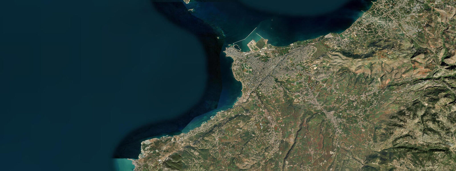
Batroun is one of the oldest continuously inhabited cities in the world — Phoenician records from around 1400 BCE identify it as Botrys, a trading port on the Lebanese coast roughly 50 kilometres north of Beirut. That history is physically present in the town today in a way that few Mediterranean coastal cities can match: a Phoenician sea wall, built from massive sandstone blocks, still defines the boundary between the old harbour and the open Mediterranean on the north side of the town. The wall was constructed to break the swell and protect small boats, and it still does.
Modern Batroun sits on a small headland between two bays: the old harbour on the north (partially protected by the Phoenician wall) and the main beach area on the south, where a curve of sandy shore runs for about a kilometre in front of the town's growing bar and restaurant strip. Batroun has become one of Lebanon's most popular weekend destinations over the past decade, drawing Beirutis for beach clubs, waterfront dining, and the atmospheric old town with its Crusader-era church, Ottoman-era courtyard houses, and beachfront lemon factory.
The water at Batroun is clear and warm by Lebanese coastal standards. Sea temperatures run 22–24°C through July and August, often reaching 26°C in shallow protected sections of the old harbour. The Phoenician wall creates a naturally sheltered snorkelling enclosure on its inner side — calm when the open coast is rough, and with rock formations colonised by sponge, small sea fans, and abundant reef fish in 2–6 metres of water. Schools of mullet and sea bream are permanent residents inside the wall enclosure. Outside the wall on the northern approach, the rock formations extend into the 8–15 metre range with better structure for more experienced snorkellers.
Lebanese coast tides are microtidal: mean spring range at Batroun is under 0.3 metres, consistent with the eastern Mediterranean. The mixed semidiurnal pattern applies, with diurnal inequality meaning effective water level variation of 0.1–0.2 metres on most days. Wind is the dominant water level and sea-state variable: winter westerlies and northwesterlies produce significant swell on the open south-facing beach; the old harbour and the area inside the Phoenician wall remain largely protected in these conditions. Summer conditions are reliably calm on most days — the afternoon sea breeze is gentle compared to the Aegean or western Mediterranean.
The lemon orchards that surround Batroun are one of Lebanon's agricultural signatures — the area produces a notable lemonade made from the small local citrus variety. The Kassatly Chtaura factory near the waterfront has been producing local lemonade since 1954 and is a minor tourist attraction. Batroun's old souk and the Cathedral of Mar Estephan (St. Stephen) — a Crusader-era church substantially rebuilt in the 18th century — anchor the heritage end of a visit.
Access from Beirut is via the coastal motorway, about 50 kilometres, roughly 45 minutes in clear traffic. Traffic on summer weekends (particularly Friday and Saturday afternoon from Beirut) can stretch this to 90 minutes or more. There is a bus service from Beirut's Cola terminal via Jounieh. Batroun has a growing range of accommodation including beach hotels and guesthouses.
Predictions on this page come from Open-Meteo Marine. For Lebanese coastal conditions, the Lebanese Meteorological Department (meteo.gov.lb) provides marine forecasts.
The lemon orchards surrounding Batroun are more than an agricultural detail — the Batroun lemon, a small thick-skinned variety grown in the terraced hillsides above the town, has a distinct flavour that the local lemonade producers claim distinguishes their product from industrially produced alternatives. The Kassatly Chtaura factory near the waterfront has been using the same formula since 1954. Walking inland from the coast into the terraced orchards takes about 20 minutes and gives a completely different perspective on the town — from the hills you can see the Phoenician wall in the water far below.
Tide questions about Batroun
Quick answers to the most common questions about tide times, range, and water access at Batroun.
What is the Phoenician sea wall at Batroun, and can I snorkel around it?
The Phoenician sea wall is a massive sandstone block breakwater built approximately 3,000 years ago to protect the ancient harbour at Botrys (modern Batroun) from Mediterranean swell. The blocks — some weighing several tonnes — were quarried from the local sandstone cliffs and placed without mortar, relying on weight and interlocking geometry for stability. Remarkably, the wall still functions today. The inner (harbour) face creates a natural snorkelling enclosure: calm when the open coast is rough, 2–6 metres deep, with sponge, sea fans, and dense schools of mullet and sea bream that have sheltered here for generations. It is accessible directly from the old harbour — enter near the boat landing and fin along the wall. No equipment hire on site; bring your own or rent from beach clubs on the south beach.
What are the best beaches at Batroun?
The main beach runs along the south side of the headland, in front of the town's growing beach club and restaurant strip. It is sandy with a gentle gradient and faces south-southwest, giving good sun exposure through the day. Several beach clubs have established sections along this strip with loungers, bars, and watersports. The old harbour area on the north side is smaller and rockier but has the unique character of the Phoenician wall enclosure and is calmer in northwest wind conditions. For the widest sand, Shekka and Chekka Bay beaches (10 km north) are less developed and quieter, particularly outside peak summer weekends.
What is the tidal range at Batroun?
Very small — under 0.3 metres on spring tides. The eastern Mediterranean, including the Lebanese coast, is effectively microtidal. The tidal signal from the Atlantic is strongly attenuated by the time it crosses the Mediterranean basin, and the eastern end of the sea has limited internal tidal forcing. The pattern is mixed semidiurnal with diurnal inequality; effective water level variation on most days is 0.1–0.2 metres. Seasonal mean sea level change is actually larger than the tidal range at Batroun: the Mediterranean is typically 15–20 cm higher in November than in April, driven by thermal expansion and seasonal wind patterns. For practical planning — swimming, snorkelling, boat access — wind and swell state is the only relevant variable.
When is the best time to visit Batroun for beach and water activities?
June through September for swimming and beach club use — water temperature 22–26°C, reliably calm conditions, long daylight hours. July and August are peak Lebanese domestic season; Batroun fills with Beirutis on summer weekends and the beach clubs operate at capacity. June and September offer similar conditions with fewer crowds and lower prices. For snorkelling at the Phoenician wall, June and September are optimal: water visibility is at its best before and after the peak-summer jellyfish pulse, which can occur in July–August following warm water periods. The town is pleasant year-round for cultural visits — the old souk and the sea wall don't require beach weather.
Is Batroun a good base for exploring the North Lebanon coast?
Yes, though most visitors come day-trip from Beirut. From Batroun, the Chekka Bay coast is 10 km north — quieter beaches with Roman-era harbour ruins visible at the waterline. Tripoli (Lebanon's second city) is 25 km north, with the best-preserved Mamluk souk outside Cairo and a crusader citadel above the old city. Byblos (ancient Gebal, one of the world's oldest continuously inhabited cities) is 25 km south — the archaeological site, Crusader castle, and old harbour are a full half-day. The Qadisha Valley (UNESCO heritage cedar forest) is accessible inland from Bcharre, about 60 km from Batroun via the mountain road. A car is essential for the region; public transport exists but is infrequent.
8-day tide table — Batroun
Heights relative to MSL. Predictions: Open-Meteo Marine (MeteoFrance SMOC, 0.08° grid) — heights relative to MSL (not chart datum / LAT). Model-derived.
| Day | Type | Time | Height |
|---|---|---|---|
| Sat 04 Jul | — | ||
| Sun 05 Jul | High | 13:45 | -0.1m |
| Low | 20:15 | -0.4m | |
| Mon 06 Jul | High | 02:15 | -0.1m |
| Low | 21:00 | -0.3m | |
| Tue 07 Jul | — | ||
| Wed 08 Jul | High | 04:10 | -0.1m |
| Low | 22:50 | -0.3m | |
| Thu 09 Jul | High | 18:10 | -0.1m |
| Fri 10 Jul | — | ||
| Sat 11 Jul | Low | 01:00 | -0.3m |