Tyre tide times
Tyre tide forecast — heights relative to MSL.
Tide chart for Tyre
24-hour cosine-interpolated curve around the present moment. Heights relative to MSL. Predictions: Predictions: Open-Meteo Marine (MeteoFrance SMOC, 0.08° grid).
Sun, moon and conditions on Sat 27 Jun
Snapshot at build time — refreshes daily. Sea state from Open-Meteo Marine.
Highs and lows next 7 days
Every predicted high and low for the next week, with the daily tidal coefficient (0–120; higher = bigger swing, > 95 means stronger currents).
Other spots nearby
The three closest curated TideTurtle locations to Tyre, measured by great-circle distance.

Today's solunar windows
Solunar tradition: major periods are the ≈3h windows around moon transit and opposition; minor are ≈2h around moonrise and moonset. Pair with the local tide stage and wind for the best read.
Cycle dates near Tyre
Next spring tide on Tue 30 Jun (range 0.3m). Next neap on Sun 28 Jun.
Spring tides cluster around new and full moons (biggest swings). Neap tides land on quarter moons (smallest swings). See the spring tide and neap tide glossary entries for the why.
About tides at Tyre
A short guide to the coastline at Tyre — geography, sea state, and what the tide is actually doing under your feet.
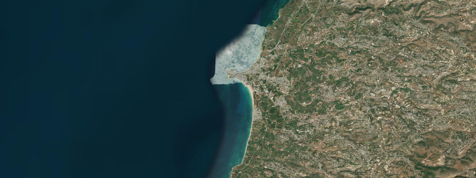
Tyre — known in Arabic as Sour — is one of the oldest continuously inhabited cities in the world, founded by the Phoenicians and now a UNESCO World Heritage city 80 km south of Beirut. The city occupies a peninsula that was originally an island, connected to the mainland by a causeway built by Alexander the Great in 332 BCE to besiege it. The archaeological sites are extensive: Al-Mina (the southern site) has a colonnaded road, a hippodrome, and a necropolis extending toward the sea. The Al-Bass site north of the city has a triumphal arch and Roman road. The sea is an active part of Tyre's present, not just its past: an artisanal fishing fleet works out of the old harbour, and sandy beaches on the northern coast of the peninsula are among the finest in Lebanon.
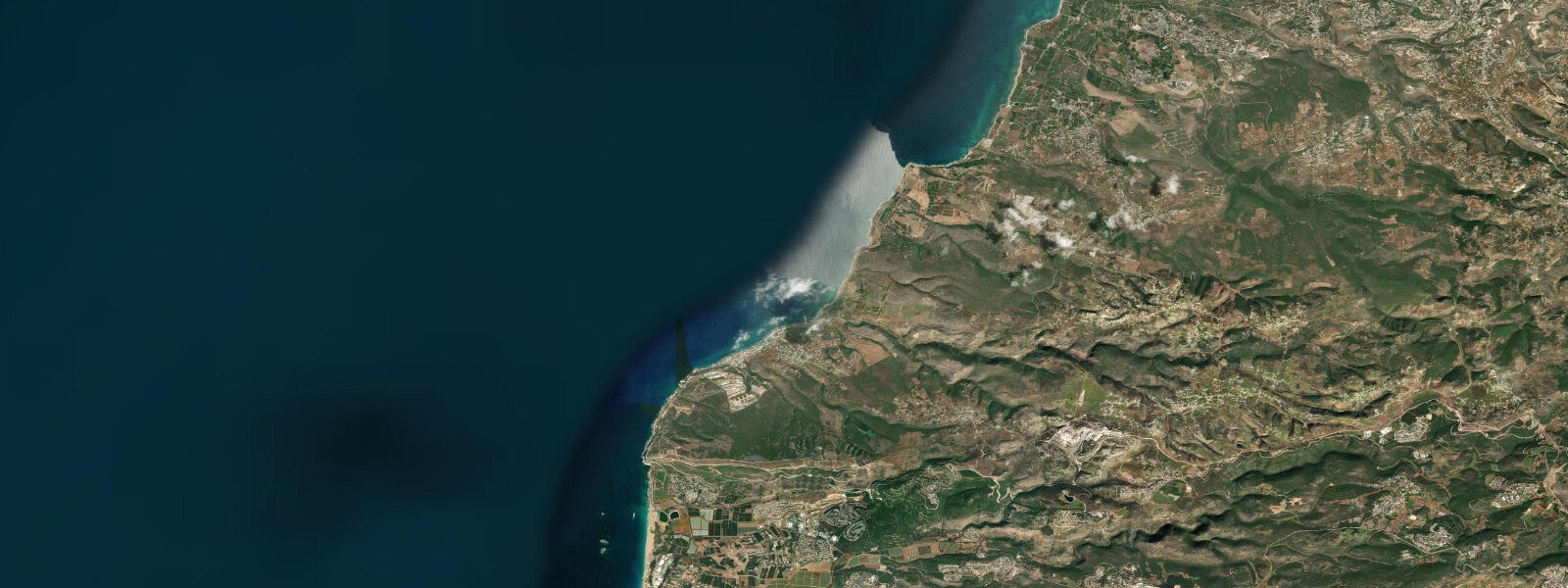
The tidal regime is eastern Mediterranean: spring range 0.3–0.4 m, semidiurnal, with meteorological seiches the dominant rapid water-level variable. Seiches at Tyre operate similarly to Beirut — oscillations of 0.2–0.4 m over 20–30 minutes, independent of the lunar cycle, driven by atmospheric pressure disturbances. The peninsula geography concentrates these effects: the old harbour on the southeast face and the beach on the north face respond differently to the same wind and seiche event. The open-sea north beach faces northwest — the dominant swell direction for the eastern Mediterranean — and is more exposed to wave action than the sheltered harbour.
The sandy beach on the north coast of the Tyre peninsula is one of the few long sandy beaches in Lebanon outside the Tripoli area. The beach runs for approximately 1.5 km from the city to the north, and parts of it are within the Tyre Coast Nature Reserve — the only marine protected area in Lebanon, protecting nesting loggerhead and green sea turtles (nesting season June–September). The reserve portion of the beach is closed for landings after dark from June through September to protect nesting turtles. The tidal signal of 0.3–0.4 m has a meaningful effect on turtle nesting: females select nesting sites above the high-water line; a seiche event coinciding with a high-spring-water period can overtop nests laid close to the computed tide line. Reserve managers monitor nest positions and tidal data.
For sea swimmers, the north beach at Tyre is one of the better coastal swimming locations in Lebanon. The sand is clean, the water is generally clearer here than in Beirut (the coast is 80 km south and away from the main urban discharge zones), and the Mediterranean temperature of 26–28 °C in August is consistent. Entry from the beach is straightforward over the sand bottom; depth reaches 1.5 m about 50–60 m from shore. The beach faces northwest and is exposed to any westerly or northwesterly swell above 0.5 m — check the Mediterranean swell forecast before a beach visit if you are bringing children.
For anglers, the old harbour at Tyre is a productive rock-platform and pier environment. Mullet concentrate around the fishing boat moorings in the harbour year-round. Sea bass and bream are caught at dawn from the outer harbour wall rocks. The harbour walls provide sheltered fishing in easterly and southerly wind conditions when the north beach is calm; they provide more sheltered access in northwesterly conditions when the north beach is exposed. The artisanal fishing community at Tyre is active and knowledgeable; the morning fish market at the harbour is open from approximately 07:00 and reflects the previous night's catch.
For divers and snorkellers, Tyre's submerged archaeological material is accessible from the beach north of the city, where the ancient harbour infrastructure and building remains lie in 3–6 m of water. The visibility in calm conditions can reach 10–15 m. A local dive operator in Tyre city provides guided underwater archaeology tours. At low spring water, some features visible above the surface at the base of the peninsula's rock outcrops are submerged at high water.
All tide predictions for Tyre come from the Open-Meteo Marine gridded model. Timing accuracy is ±45 minutes; height accuracy is ±0.3 m above Chart Datum. Seiches — the dominant unpredictable water-level variable on this coast — are not modelled.
Tide questions about Tyre
Quick answers to the most common questions about tide times, range, and water access at Tyre.
Can sea turtles be seen at the Tyre beach and does the tide affect nesting?
Yes. The Tyre Coast Nature Reserve on the north beach of the Tyre peninsula is one of two protected sea turtle nesting sites in Lebanon, used by loggerhead and green sea turtles from June through September. Nesting females come ashore after dark to lay eggs above the highest water line. The eastern Mediterranean spring tidal range of 0.3–0.4 m is a relevant factor: females select sites they judge to be above the tide line, but a meteorological seiche event coinciding with a high spring tide can exceed the predicted high-water mark by 0.2–0.4 m and overtop nests laid close to the normal tidal limit. The reserve beach is closed to visitor access after dark during nesting season. Daytime beach visits are permitted outside the reserve boundary.
Is the Tyre north beach suitable for swimming and snorkelling?
The Tyre north beach is one of the cleaner sandy beaches in Lebanon, 80 km south of Beirut's main discharge zone. Sea temperature reaches 26–28 °C in August. The sand bottom is clean entry for swimmers; 1.5 m depth is reached approximately 50–60 m from shore. The beach faces northwest and is exposed to westerly and northwesterly Mediterranean swell — on days with swell above 0.5 m, conditions at the beach become rough for children. Snorkelling along the rocky margins of the peninsula (outside the reserve boundary) accesses the submerged archaeological material and reef fish habitat in 2–5 m. A local dive operator in Tyre city offers guided underwater archaeology tours for certified divers.
What is the fishing like at Tyre harbour and what are the target species?
Tyre's old harbour supports an active artisanal fishing fleet and is a productive shore-fishing location. Mullet concentrate around the boat moorings year-round. Sea bass and bream are targeted from the outer harbour wall at dawn by local anglers using bottom rigs with shrimp or crab bait. The sheltered harbour is fishable in northwesterly conditions when the north beach faces the swell — access to productive fish-holding structure is maintained regardless of wind direction. The morning fish market at the harbour opens around 07:00; the catch on display shows what the local fleet is finding. Night fishing from the harbour for octopus is common in autumn.
How does the seiche phenomenon affect conditions at Tyre harbour?
Eastern Mediterranean seiches — standing-wave oscillations driven by atmospheric pressure disturbances — produce rapid water level changes of 0.2–0.4 m at Tyre with periods of 20–40 minutes. In the old harbour, which is partially enclosed by the harbour walls, these oscillations create periodic surge against the quay walls and under moored vessels. Fishermen mooring at the harbour use line lengths that account for the normal tidal range (0.3–0.4 m spring) plus seiche amplitude — total spread of 0.5–0.7 m. Kayakers and paddleboarders entering or exiting the harbour at the narrow entrance should be aware that a seiche in progress can produce unexpected surge at the entrance gap.
What are the UNESCO archaeological sites at Tyre and can the sea level affect them?
Tyre has two main UNESCO-listed archaeological areas: Al-Mina (southern site, extending toward the sea) and Al-Bass (northern site, inland). The Al-Mina site includes colonnaded roads, a hippodrome, and a necropolis within metres of the present shoreline. The sea-level component relevant to archaeology at Al-Mina is long-term — the eastern Mediterranean sea level has risen approximately 1.0 m since Roman times, submerging sections of the ancient harbour infrastructure now visible in 3–6 m of water. The 0.3–0.4 m spring tidal range creates daily immersion-emergence cycles on the rock-cut structures at the sea margin. Winter storm events with surge can deposit material against the exposed shoreline sections of the site; the reserve manages access to these sections.
8-day tide table — Tyre
Heights relative to MSL. Predictions: Open-Meteo Marine (MeteoFrance SMOC, 0.08° grid) — heights relative to MSL (not chart datum / LAT). Model-derived.
| Day | Type | Time | Height |
|---|---|---|---|
| Sat 27 Jun | — | ||
| Sun 28 Jun | Low | 03:10 | -0.4m |
| High | 09:15 | -0.1m | |
| Low | 16:00 | -0.5m | |
| High | 22:10 | -0.2m | |
| Mon 29 Jun | Low | 03:50 | -0.4m |
| High | 10:00 | -0.1m | |
| Low | 16:45 | -0.5m | |
| Tue 30 Jun | High | 10:42 | -0.1m |
| Low | 17:15 | -0.5m | |
| High | 23:15 | -0.2m | |
| Wed 01 Jul | Low | 04:50 | -0.4m |
| High | 11:10 | -0.1m | |
| Low | 17:50 | -0.5m | |
| Thu 02 Jul | High | 11:50 | -0.1m |
| Fri 03 Jul | Low | 06:10 | -0.4m |
| High | 12:18 | -0.1m | |
| Low | 18:54 | -0.4m | |
| Sat 04 Jul | High | 01:00 | -0.2m |