Jounieh tide times
Jounieh tide forecast — heights relative to MSL.
Today's tide times for Jounieh
Tide times at Jounieh on Saturday, 27 June 2026: first low tide at 03:00am, first high tide at 08:50am. Sunrise 05:28am, sunset 07:52pm.
Tide chart for Jounieh
24-hour cosine-interpolated curve around the present moment. Heights relative to MSL. Predictions: Predictions: Open-Meteo Marine (MeteoFrance SMOC, 0.08° grid).
Sun, moon and conditions on Sat 27 Jun
Snapshot at build time — refreshes daily. Sea state from Open-Meteo Marine.
Highs and lows next 7 days
Every predicted high and low for the next week, with the daily tidal coefficient (0–120; higher = bigger swing, > 95 means stronger currents).
Other spots nearby
The three closest curated TideTurtle locations to Jounieh, measured by great-circle distance.
Today's solunar windows
Solunar tradition: major periods are the ≈3h windows around moon transit and opposition; minor are ≈2h around moonrise and moonset. Pair with the local tide stage and wind for the best read.
Cycle dates near Jounieh
Next spring tide on Thu 02 Jul (range 0.3m). Last neap on Sat 27 Jun.
Spring tides cluster around new and full moons (biggest swings). Neap tides land on quarter moons (smallest swings). See the spring tide and neap tide glossary entries for the why.
About tides at Jounieh
A short guide to the coastline at Jounieh — geography, sea state, and what the tide is actually doing under your feet.
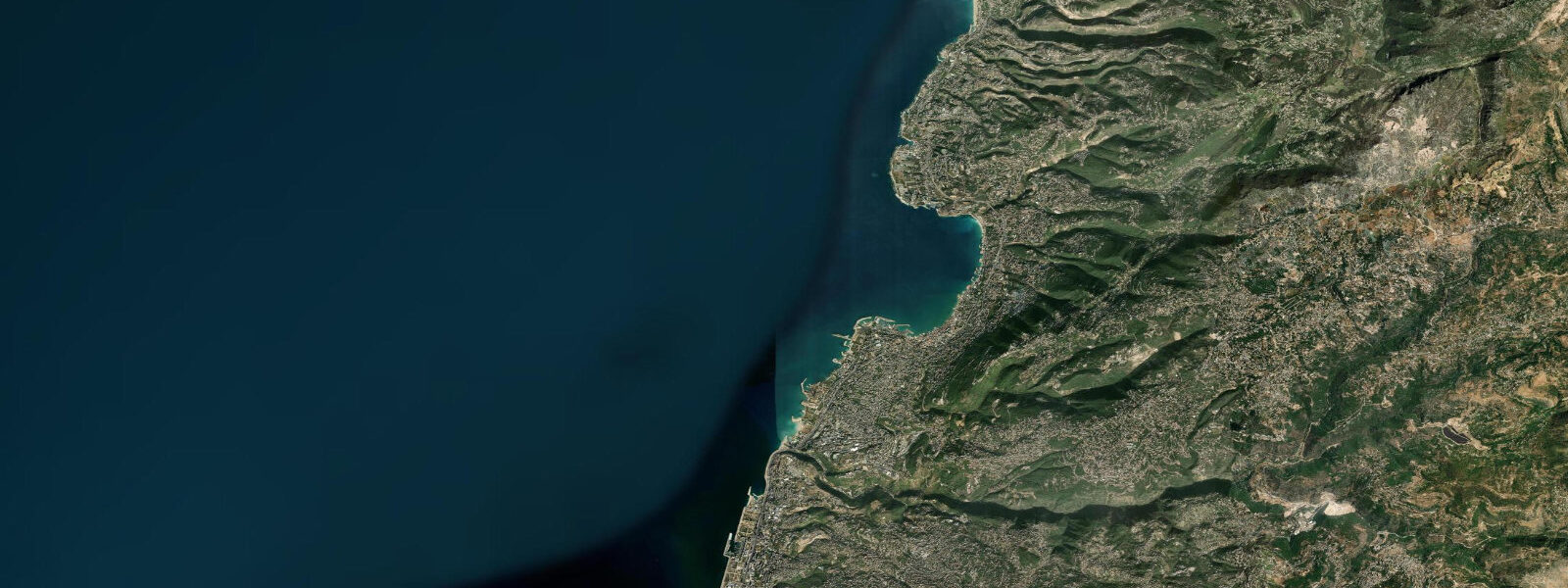
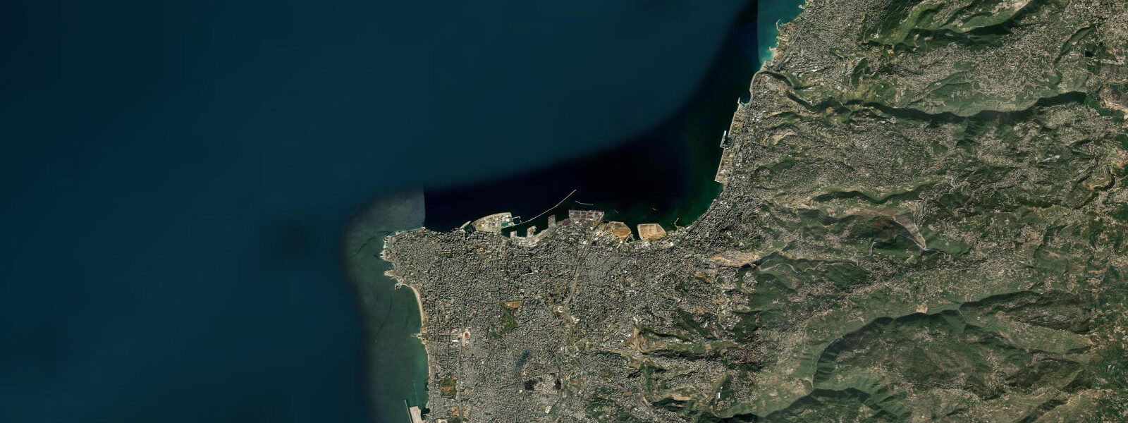
Jounieh is a resort city of 100,000 on the arc of Jounieh Bay, 20 km north of Beirut along the coastal motorway. The bay is one of the most sheltered on the Lebanese coast, partially enclosed by the headland of Raas Nawss to the south and the promontory of Dbayeh to the north. The Telefèrique cable car, climbing from the seafront to the Harissa hillside sanctuary 650 m above sea level, is the town's visual signature. The bay's relative shelter from westerly and northwesterly swells differentiates it from the fully exposed Beirut Corniche.
The tidal regime is eastern Mediterranean: spring range 0.3–0.4 m, semidiurnal, with seiches the dominant unpredictable variable. The partial enclosure of Jounieh Bay slightly dampens seiche amplitudes relative to fully exposed coasts, but seiches remain the primary rapid water-level event on this coast and are not captured by the astronomical tide model. Spring range of 0.3–0.4 m is small but perceptible: at low spring water, the rock shelves at the base of the bay's headlands are exposed and accessible; at high spring water they are submerged to 0.3–0.4 m.
For beach visitors, Jounieh's bay has a mix of private beach clubs (most of the sandy beach access is privately operated, per the Lebanese coast norm) and rock platforms accessible to the public. The bay's shelter means that in calm summer conditions, the water inside Jounieh Bay is noticeably flatter than the exposed Beirut coast. Sea temperature in the bay peaks at 27–29 °C in late August. Water quality in Jounieh Bay is a concern: the bay's partial enclosure that makes it calm also reduces flushing of coastal discharges; after Beirut's rain season (October–April), storm water runoff from the coastal highway and the Jounieh suburbs accumulates in the bay. Check current reports before swimming, particularly in the weeks immediately after rain events.
For boaters, Jounieh Marina is the main yacht harbour on the central Lebanese coast. The marina handles vessels up to 30 m and is in 3.0–4.0 m of water in the main basin. The entrance channel depth at mean water is approximately 3.5 m; with a spring range of only 0.3–0.4 m, there is no tidal restriction for vessels drawing up to 3.0 m. The marina hosts the Lebanese Yacht Club and is the base for most coastal charter operations. Seiche events — the rapid 20–30 minute water level oscillations characteristic of this coast — can create unexpected surge in marina berths; mooring lines should be set with adequate slack to accommodate a 0.3 m amplitude oscillation.
For kayakers and stand-up paddleboarders, the sheltered inner bay at Jounieh is among the best flat-water venues on the Lebanese coast. The calm water, clear visibility in good conditions, and the Telefèrique as a landmark make it a pleasant environment. The paddle across the bay from the public access point to the marina and back is 4–5 km. For sea kayakers wanting more distance, the route south from Jounieh toward Dbayeh and the northern outskirts of Beirut is 8–10 km of varied coast with accessible headlands.
Anglers at Jounieh fish from the marina breakwater and from the rock platforms at the bay's northern and southern headlands. Sea bass, mullet, and bream are the standard species. The enclosed bay concentrates mullet near storm drain outfall points — an indication of water quality as much as fishing opportunity. Rock platforms at Raas Nawss accessible at low spring water offer the best position for reaching clean water well away from the bay's discharge points.
All tide predictions for Jounieh come from the Open-Meteo Marine gridded model. Timing accuracy is ±45 minutes; height accuracy is ±0.3 m above Chart Datum. Seiches are not modelled and are the primary unexpected water-level event on this coast.
Tide questions about Jounieh
Quick answers to the most common questions about tide times, range, and water access at Jounieh.
Why is Jounieh Bay calmer than the Beirut Corniche and does that affect swimming?
Jounieh Bay is partially enclosed by the Raas Nawss headland to the south and the Dbayeh promontory to the north, which attenuates westerly and northwesterly swell before it reaches the bay's inner beaches. On a day when the Beirut Corniche has 0.8–1.0 m wave height, the inner bay at Jounieh may be 0.2–0.4 m — a significant difference for swimming comfort. The trade-off is flushing: the same enclosure that calms the water also slows the exchange of bay water with the open sea, concentrating any coastal discharge. Water quality monitoring is more important in Jounieh Bay than on the exposed Corniche for this reason. The tidal range of 0.3–0.4 m has no meaningful effect on wave conditions.
Does the Jounieh Marina have any depth restrictions based on tidal state?
Jounieh Marina's main basin is in 3.0–4.0 m of water; the entrance channel is approximately 3.5 m at mean water level. With an eastern Mediterranean spring tidal range of only 0.3–0.4 m, there is no operational tide window for vessels drawing up to 3.0 m. The marina entrance is accessible at all predicted tidal states for the vessel sizes it handles. The relevant concern at Jounieh Marina is seiches — rapid water level oscillations of 0.2–0.4 m over 20–30 minutes that create surge in marina berths. Set mooring lines with 0.4–0.5 m of slack to accommodate seiche amplitude. Contact the marina office (VHF Channel 16) for current berth conditions and any seiche advisories.
Can you kayak across Jounieh Bay?
Yes. The inner bay is one of the calmest kayaking environments on the Lebanese coast. The paddle across the bay from a public access point to the marina and back is 4–5 km and takes 60–90 minutes in light conditions. For a longer route, the south coast of the bay toward Dbayeh headland adds 3–4 km with interesting rock formations. The bay is not completely protected — a northwesterly over 20 km/h creates enough chop in the crossing section to be uncomfortable for sit-on-top kayaks. Seiches are the unexpected variable: a 0.3–0.4 m seiche in the bay produces a periodic surge effect in the enclosed basin that can catch inexperienced paddlers off-guard. No significant tidal current exists in the bay.
Where is the best fishing in Jounieh and what species are accessible?
The rock platforms at Raas Nawss headland, the southern point of Jounieh Bay, offer the best fishing access in the area. At low spring water (0.3–0.4 m drop from mean), additional rock shelf is exposed and extends casting range into cleaner water away from the bay's discharge influence. Sea bass and bream hold on the rock structure at Raas Nawss at dawn and dusk. Mullet are present throughout the bay and concentrate near the outfall points (an indication of water quality issues as much as productivity). The marina breakwater provides elevated casting access for spinning. Night fishing from the breakwater head for sea bass is productive in spring and autumn.
What is the Jounieh Telefèrique and can you see the bay tidal state from it?
The Jounieh Telefèrique cable car climbs 2.2 km from the seafront to the hilltop sanctuary of Our Lady of Lebanon at Harissa, 650 m above sea level, in approximately 7 minutes. The view from the cable car and from the Harissa terrace encompasses the full arc of Jounieh Bay, the coastal motorway, and on clear days the Beirut skyline 20 km south. From this elevation the tidal change in the bay — the 0.3–0.4 m spring range — is not visible. What is visible is the sea-surface colour contrast between bay and open sea on days with significant freshwater runoff, and the surface texture difference between the calm enclosed bay and the open Mediterranean beyond the headlands. The cable car operates year-round; morning visits in winter give the clearest views of the mountain backdrop.
8-day tide table — Jounieh
Heights relative to MSL. Predictions: Open-Meteo Marine (MeteoFrance SMOC, 0.08° grid) — heights relative to MSL (not chart datum / LAT). Model-derived.
| Day | Type | Time | Height |
|---|---|---|---|
| Sat 27 Jun | Low | 03:00 | -0.4m |
| High | 08:50 | -0.2m | |
| Sun 28 Jun | Low | 16:00 | -0.5m |
| High | 22:10 | -0.2m | |
| Mon 29 Jun | Low | 03:45 | -0.4m |
| High | 10:00 | -0.1m | |
| Tue 30 Jun | Low | 17:10 | -0.5m |
| High | 23:15 | -0.2m | |
| Wed 01 Jul | Low | 04:50 | -0.4m |
| High | 11:10 | -0.1m | |
| Low | 17:45 | -0.5m | |
| Thu 02 Jul | High | 11:45 | -0.1m |
| Low | 18:15 | -0.4m | |
| Fri 03 Jul | — | ||
| Sat 04 Jul | High | 01:00 | -0.2m |