Umm al-Maradim Island tide times
Umm al-Maradim Island tide forecast — heights relative to MSL.
Today's tide times for Umm al-Maradim Island
Tide times at Umm al-Maradim Island on Saturday, 4 July 2026: first high tide at 03:00am, first low tide at 06:47am, second high tide at 12:40pm, second low tide at 08:02pm. Sunrise 04:51am, sunset 06:47pm.
Tide chart for Umm al-Maradim Island
24-hour cosine-interpolated curve around the present moment. Heights relative to MSL. Predictions: Predictions: Open-Meteo Marine (MeteoFrance SMOC, 0.08° grid).
Sun, moon and conditions on Sat 04 Jul
Snapshot at build time — refreshes daily. Sea state from Open-Meteo Marine.
Highs and lows next 7 days
Every predicted high and low for the next week, with the daily tidal coefficient (0–120; higher = bigger swing, > 95 means stronger currents).
Other spots nearby
The three closest curated TideTurtle locations to Umm al-Maradim Island, measured by great-circle distance.

Today's solunar windows
Solunar tradition: major periods are the ≈3h windows around moon transit and opposition; minor are ≈2h around moonrise and moonset. Pair with the local tide stage and wind for the best read.
Cycle dates near Umm al-Maradim Island
Last spring tide on Sat 04 Jul (range 1.6m). Next spring tide on Fri 10 Jul (range 1.5m). Next neap on Wed 08 Jul.
Spring tides cluster around new and full moons (biggest swings). Neap tides land on quarter moons (smallest swings). See the spring tide and neap tide glossary entries for the why.
About tides at Umm al-Maradim Island
A short guide to the coastline at Umm al-Maradim Island — geography, sea state, and what the tide is actually doing under your feet.
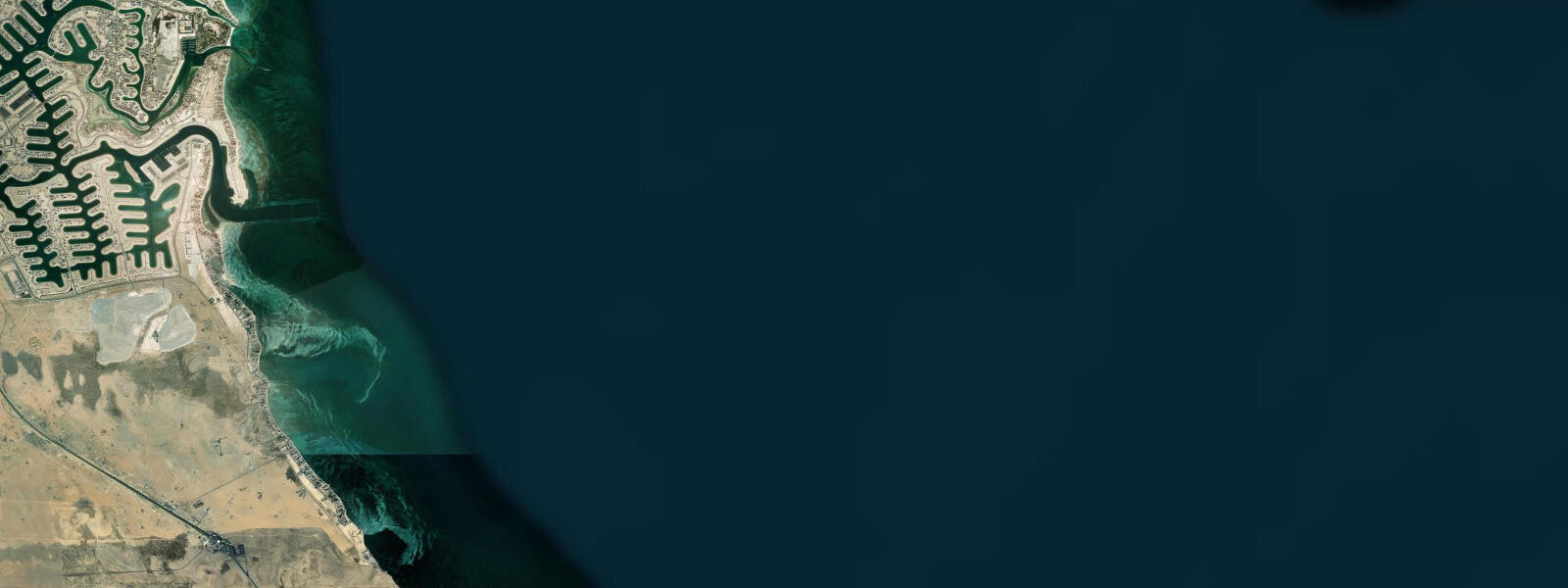
Umm al-Maradim is Kuwait's southernmost island, a flat coral formation sitting at the edge of Kuwait's territorial waters in the central Persian Gulf. Like Qaruh to its northeast, the island is uninhabited and low-lying, barely 1 metre above mean sea level on its highest point. The island is enclosed within Kuwait's Umm al-Maradim Nature Reserve, established for its importance to nesting seabirds and as flamingo habitat.
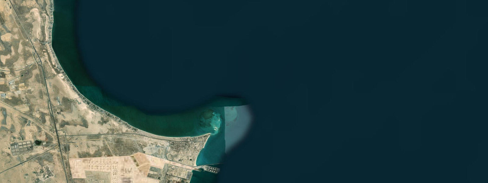
The island sits on an extensive shallow bank at 2 to 8 metres depth. The bank's coral and seagrass matrix supports a fish and invertebrate community that has attracted artisanal fishermen from Kuwait and adjacent Saudi Arabia for centuries. The same shallow, warm, productive bank is why greater flamingos choose the island's intertidal flat as a seasonal foraging and staging area.
Tide predictions for Umm al-Maradim come from Open-Meteo Marine's global model. Timing accuracy ±45 minutes, height accuracy ±0.2 to 0.3 metres. The Persian Gulf at this latitude shows mixed semidiurnal tides with pronounced diurnal inequality; spring range is approximately 1.5 to 2.5 metres. Given the island's elevation of barely 1 metre, the interaction between storm surge and high spring tide is a real flood risk. Shamal wind events in the winter and early summer can push 0.5 to 1.0 metres of additional water onto the bank, and island areas that are normally dry at high tide can become briefly submerged.
For the flamingo population, this tidal flooding is a feature rather than a hazard: the surge events wash fresh invertebrate-rich water across the flat, concentrating the brine shrimp and blue-green algae that flamingos feed on. Flamingo numbers at Umm al-Maradim peak between November and April, with counts of several hundred to a few thousand birds recorded. Peak feeding activity is at low tide on calm mornings when the birds have maximum access to the exposed mud flat.
For divers and anglers, the bank around Umm al-Maradim is comparable to Qaruh: grouper, sea bream, and emperorfish over the coral and rocky patches; queenfish and trevally in the water column on the ebb current. The boat passage from mainland Kuwait to Umm al-Maradim is longer than to Qaruh — approximately 110 to 130 kilometres from Kuwait City — and the crossing time is 4 to 5 hours on a standard charter vessel.
Access follows the same restrictions as Qaruh: private charter only, permits required from the Kuwait Environment Public Authority for overnight stays, no facilities on the island. The summer months are impractical due to extreme heat. October through April is the access season that aligns with flamingo presence and manageable air temperatures.
The coral at Umm al-Maradim represents the far southern extension of the Kuwaiti offshore reef system. The Gulf coral assemblage here is depauperate by Indo-Pacific standards — perhaps 30 to 40 coral species compared to 500 or more on a healthy Indo-Pacific reef — but the specimens that persist have been demonstrated to survive conditions that would bleach most other corals. Research from Umm al-Maradim's reef has contributed to the growing body of literature on Gulf coral thermotolerance. The genetic and physiological mechanisms that allow these corals to survive 34°C summer temperatures are of direct interest to coral reef restoration science globally.
The island's extremely low elevation — under 1 metre on the highest point — makes it vulnerable to sea-level rise on a decadal scale. Even modest increases in mean sea level, combined with higher surge events from intensifying Gulf weather systems, will affect the nesting habitat and the flat intertidal zone that flamingos depend on. The Kuwait Environment Public Authority's management of the reserve includes periodic elevation surveys to track beach and island surface changes.
The surrounding water supports a population of hawksbill sea turtles that feed on the sponge and soft coral organisms on the reef patches. Green turtles use the seagrass beds in the shallower bank areas. Both species are legally protected; the reserve status of the island provides additional protection from incidental capture in the restricted-access zone.
Tide questions about Umm al-Maradim Island
Quick answers to the most common questions about tide times, range, and water access at Umm al-Maradim Island.
What is the tidal range at Umm al-Maradim?
Umm al-Maradim is in the central Persian Gulf and experiences mixed semidiurnal tides with significant diurnal inequality. Spring range runs approximately 1.5 to 2.5 metres. Given the island's elevation of barely 1 metre above mean sea level, the combination of high spring tide and shamal wind surge (which can add 0.5 to 1.0 metres) creates periodic flooding of the island surface. Tide data here uses Open-Meteo Marine's global model, with ±45 minutes on timing and ±0.2 to 0.3 metres on heights. Boat navigation on the surrounding shallow bank requires careful attention to low-water depths.
When can I see flamingos at Umm al-Maradim?
Greater flamingos are present at Umm al-Maradim primarily between November and April. Numbers peak in winter — December through February — when the island holds several hundred to a few thousand birds. Flamingos feed on brine shrimp and blue-green algae in the intertidal flat. Peak feeding activity is on low-tide mornings, when the flat is fully exposed and birds have maximum access to the mud surface. Visiting from a boat requires keeping a respectful distance of at least 200 metres to avoid flushing the flock. A telescope gives the best observation without disturbance.
How far is Umm al-Maradim from Kuwait City?
Umm al-Maradim is approximately 110 to 130 kilometres south of Kuwait City, making it the most distant of Kuwait's island group. The crossing by charter boat takes 4 to 5 hours from the Salmiya Marina or Ras Al Julayah in southern Kuwait, depending on vessel speed. This makes day trips very long — a 4-hour crossing each way with a 2-hour activity window requires pre-dawn departure. Most visitors to Umm al-Maradim either accept the very long day or arrange overnight stays with the appropriate KEPA permit. Qaruh Island, closer to the mainland, is the more practical day-trip target.
Is the coral reef around Umm al-Maradim healthy?
The coral around Umm al-Maradim, like all Gulf coral, endures extreme thermal stress. The Gulf's enclosed nature produces an annual temperature range of 17 to 34°C — among the widest of any coral-bearing sea on earth. The corals here are heat-adapted; Gulf coral species tolerate temperatures that would bleach most Indo-Pacific reefs. However, bleaching events do occur during unusually hot Gulf summers (August temperatures above 33°C), and recovery is slow. The isolation of Umm al-Maradim from direct human pressure (no permanent habitation, fishing restrictions within the reserve) means the reef experiences less overfishing and anchor damage than nearshore Kuwait sites.
What are the access rules for Umm al-Maradim Nature Reserve?
Umm al-Maradim is a designated nature reserve managed by the Kuwait Environment Public Authority (KEPA). Day visits by private charter boat are permitted; landing on the island during active seabird nesting periods may be restricted (confirm current rules with KEPA before planning a landing). Overnight stays require a permit from KEPA. Commercial fishing within the reserve boundaries is prohibited; recreational fishing from boats outside the immediately adjacent buffer zone is subject to normal Kuwaiti fishing regulations. Contact KEPA's protected areas department for the current permit procedure and restricted dates.
8-day tide table — Umm al-Maradim Island
Heights relative to MSL. Predictions: Open-Meteo Marine (MeteoFrance SMOC, 0.08° grid) — heights relative to MSL (not chart datum / LAT). Model-derived.
| Day | Type | Time | Height |
|---|---|---|---|
| Sat 04 Jul | High | 03:00 | 0.8m |
| Low | 06:47 | 0.6m | |
| High | 12:40 | 1.1m | |
| Low | 20:02 | -0.5m | |
| Sun 05 Jul | High | 03:42 | 0.9m |
| Low | 07:47 | 0.5m | |
| High | 13:21 | 0.9m | |
| Low | 20:34 | -0.6m | |
| Mon 06 Jul | High | 03:57 | 0.8m |
| Low | 08:52 | 0.3m | |
| High | 14:12 | 0.6m | |
| Low | 20:55 | -0.5m | |
| Tue 07 Jul | High | 04:17 | 0.7m |
| Low | 09:52 | 0.1m | |
| High | 15:22 | 0.4m | |
| Low | 21:20 | -0.4m | |
| Wed 08 Jul | High | 04:48 | 0.8m |
| Low | 11:04 | -0.1m | |
| High | 16:37 | 0.3m | |
| Low | 21:48 | -0.2m | |
| Thu 09 Jul | High | 05:10 | 0.9m |
| Low | 12:12 | -0.3m | |
| Fri 10 Jul | High | 05:40 | 0.8m |
| Low | 13:23 | -0.6m | |
| Sat 11 Jul | High | 02:00 | 0.4m |